Difficulty
Moderate
Trail Length
4.0 miles
Trail Type
Out And Back
Elevation Gain
600 ft
About Estelle Falls
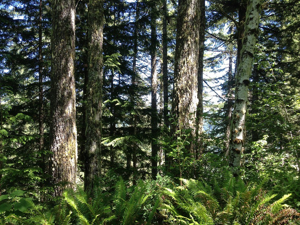
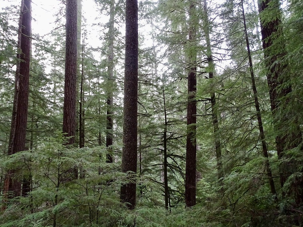
Estelle Falls is a quieter, tucked-away cascade in Oregon that rewards hikers with a peaceful forest setting and scenic water views. Framed by mossy trees and ferns, the falls make an ideal objective for anyone seeking a less crowded outing — the trail’s 4.0-mile out-and-back route delivers a satisfying mix of scenery and exertion without demanding technical scrambling. Expect a moderate climb (about 600 feet of elevation gain) on the approach, with several vantage points that let you pause and enjoy the falls and the surrounding riparian woods. The route is popular with day-hikers who want a restorative nature escape; bring sturdy footwear for the dirt and rocky sections and be prepared for muddy stretches in wet weather.
The Setting
Estelle Falls sits at 112 feet along the Little Wolf Creek, in the coastal lowlands of Oregon.
Nearby Falls Worth Visiting
Silver Falls (177 ft) lies 5.3 miles to the east. Also nearby: Golden Falls (100 ft, 5.7 mi).
Trail & Hike Details
The Approach
The moderate 4.0-mile out-and-back trail gains 600 feet of elevation on the way to the falls.
Trail Description
This is a 4.0-mile out-and-back trail with approximately 600 feet of elevation gain and a moderate difficulty rating. The tread is primarily dirt singletrack interspersed with rocky sections; the grade is generally moderate, with some short steeper pitches. Trail markers are present but the surface can become uneven and muddy in rainy conditions, so good traction and steady footing are recommended.
What to Expect
Dogs are welcome.
Accessibility
The trail is not wheelchair accessible. Uneven terrain and elevation changes require steady footing.
Frequently Asked Questions
🐶 Are Dogs Allowed at Estelle Falls?
✅ Dogs are allowed
Are There Any Fees or Permits Required?
🆖 No fees required
🏊 Is There Swimming at Estelle Falls?
❌ Swimming is not allowed
When to Visit
Spring and early summer are ideal times to visit, as the waterfall flow is strongest due to snowmelt and seasonal rains.
Seasonal Access
The best time to visit is Spring, Summer, and Fall. Winter access may be limited.
Safety Information
Hikers should be cautious of slippery rocks near the waterfall and be prepared for changing weather conditions. Cell service may be limited in the area, so plan accordingly.
Current Water Conditions
Based on a USGS gauge 23 miles away
1 ft³/s
Current discharge — how much water is flowing
About average for this time of year
Based on 18 years of record
1.71 ft
Water depth at gauge
60°F
WarmVery comfortable
7-Day Discharge Trend
What does this mean for your visit?
Flow is about average for this time of year. Water temperature is a bracing 60 degrees F, limit your time in the water.
About This Gauge
This gauge is on a regional waterway. Conditions at the falls may differ, especially after local rain.
7-Day Flow Outlook
Based on the USGS gauge LITTLE WOLF CREEK NEAR TYEE, OR (37 km away).
Today
Moderate
1 cfs
6/10Tomorrow
Strong
1 cfs
8/10Mon
Strong
1 cfs
8/10Tue
Moderate
1 cfs
9/10Wed
Moderate
1 cfs
9/10Thu
Moderate
1 cfs
6/10Fri
Strong
1 cfs
8/10Best window: Tue — moderate flow, partly sunny (trip score 9/10).
Best time of year: this gauge typically runs highest from mid December to early January, peaking in January.
How we calculate this
This is a transparent outlook, not a precise forecast. We take the waterfall's current flow strength (how it ranks against its historical normal for today, from the nearest USGS stream gauge), carry that ranking forward along the gauge's seasonal curve, and nudge it for forecast rain. Confidence is highest for the next day or two and falls further out. Always check official conditions and your own judgment before visiting — high flows can be dangerous.
Know when to go.
Get a free email alert when waterfalls near Glasgow hit peak flow. We only send when conditions are worth the trip — no weekly newsletters, no spam.
Weather Forecast
Location & Access
Getting There
Estelle Falls is located in the Tillamook State Forest in Oregon. Access typically involves driving to a trailhead within the forest, but specific directions may vary depending on the starting point.
Get Directions on Google MapsParking
Parking is available at the trailhead, but spaces may be limited during peak seasons. Visitors should plan to arrive early to secure a spot.
Elevation
112 feet above sea level
Coordinates
43.477614° N, -124.040106° W
Visitor Tips & Gear
Wear sturdy hiking shoes, especially during wet conditions. Bring plenty of water and snacks, as there are no facilities along the trail. Check weather conditions before heading out, as the trail can become slippery after rain.
As an Amazon Associate, we earn from qualifying purchases.
With 4.0 miles and 600 ft of elevation gain, sturdy boots and trekking poles will help on this moderate trail. Sun exposure on the trail makes good sun protection a must in summer.

Columbia Watertight II Rain Jacket
Packs into its own pocket, seam-sealed, and keeps you dry from spray and surprise rain.

Earth Pak Waterproof Dry Bag
Keeps your phone and gear dry when waterfall mist soaks everything else.

Waterproof Phone Pouch (AiRunTech)
Cheap insurance — take photos right next to the falls without killing your phone.

Timberland Euro Sprint Mid Waterproof
Trusted waterproof boot with premium leather and grippy rubber sole — reliable on rocky, wet trails.

TrailBuddy Trekking Poles
Lightweight aluminum, cork grips, and flip-locks that actually hold — a best-seller for good reason.

Sawyer Squeeze Water Filter
The backcountry standard — filters 99.9% of bacteria and weighs just 3 oz.
Where to Stay

Seadrift Motel & RV Park

Plainview Motel

Edgewater Inn and Suites, an Ascend Collection Hotel

Bay Bridge Motel
Browse vacation cabins and private rentals nearby
Unique outdoor stays — tents, yurts, and treehouses
Rent a campervan or RV for your waterfall road trip
Some links are affiliate links. We may earn a commission at no extra cost to you.
Nearby Campground
SPINREEL SAND CAMPING
10.5 miles away · 17 sites
Overview The Spinreel sand camping area is located within the largest off-road vehicle riding zone in the Oregon Dunes National Recreation Area. Sand campsites are located directly on the sand and are accessible by 4x4 vehicles only. Visitors to this area can experience the thrill of scaling the vast open dunes, or they can explore the designated sand routes that wind through the coastal forest. These sites are only accessible to 4X4 vehicles on soft sand. Please plan accordingly.Recreation Spinr
Book on Recreation.govAdditional Information
Nearby Attractions
Nearby attractions include other trails and scenic spots within Tillamook State Forest, such as the Wilson River Trail and Elk Creek Trail.
Wildlife
The area is home to a variety of wildlife, including birds, deer, and small mammals. Visitors should be cautious of ticks and other insects.
Cities near Estelle Falls
Nearby Waterfalls

Writing about Estelle Falls? Embed this waterfall on your site for free.