Spivey Falls
By Armen Suny · Last verified Mar 2026
Photo Credits (1)
Difficulty
Moderate
Trail Length
2.4 miles
Trail Type
Out And Back
Elevation Gain
350 ft
About Spivey Falls
Spivey Falls sits along a roadside in Unicoi County, Tennessee, where a graceful cascade spills down a rock face into a shaded pocket of the landscape. Its easy visibility from the road makes it a popular quick stop for photographers and travelers looking for a peaceful waterfall without a long approach; a short walk from the pullout brings you to good viewpoints and the relaxing sound of falling water. For those who want more than the roadside view, an established out-and-back route is associated with the falls. The hike covers about 2.4 miles round-trip with roughly 350 feet of elevation gain and is typically rated moderate — a pleasant half-day option for hikers who want a little exercise along with scenic stops. Note that the nearest listed campground (Bald Mountains) is about 11.3 km away, so most visitors treat Spivey Falls as a day-use destination.
The Setting
Spivey Falls sits at 2,598 feet along the Big Limestone Creek, in the hills of Tennessee.
Nearby Falls Worth Visiting
Buckeye Falls, the tallest waterfall in Tennessee at 475 feet, lies 6.5 miles to the northwest.
Trail & Hike Details
The Approach
The moderate 2.4-mile out-and-back trail gains 350 feet of elevation on the way to the falls.
Trail Description
Out-and-back, approximately 2.4 miles round-trip with about 350 feet of elevation gain; rated moderate. Access to the falls is also possible directly from a roadside pullout and short walk to viewing areas. The supplied data does not specify an official USFS trail number, surface type, grade, or technical class.
What to Expect
Dogs are welcome.
Accessibility
The trail is not wheelchair accessible. Uneven terrain and elevation changes require steady footing.
Frequently Asked Questions
🐶 Are Dogs Allowed at Spivey Falls?
✅ Dogs are allowed
Are There Any Fees or Permits Required?
🆖 No fees required
🏊 Is There Swimming at Spivey Falls?
❌ Swimming is not allowed
When to Visit
Spring and summer are ideal for lush greenery, while fall offers stunning foliage. Winter may provide a unique view if the falls partially freeze.
Seasonal Access
The best time to visit is Spring, Summer, and Fall. Winter access may be limited.
Safety Information
Exercise caution when parking and walking near the highway. The area may be slippery when wet. Avoid climbing on rocks near the falls.
Current Water Conditions
Based on a USGS gauge 15 miles away
95 ft³/s
Current discharge — how much water is flowing
Much higher than usual for this time of year
Based on 28 years of record
3.41 ft
Water depth at gauge
7-Day Discharge Trend
What does this mean for your visit?
The water is flowing much higher than usual, expect an impressive display.
About This Gauge
This gauge is on a regional waterway. Conditions at the falls may differ, especially after local rain.
7-Day Flow Outlook
Based on the USGS gauge BIG LIMESTONE CREEK NEAR LIMESTONE, TN (24 km away).
Today
Roaring
112 cfs
6/10Tomorrow
Roaring
113 cfs
6/10Wed
Roaring
113 cfs
6/10Thu
Roaring
127 cfs
6/10Fri
Roaring
105 cfs
6/10Sat
Roaring
119 cfs
6/10Sun
Roaring
122 cfs
6/10Best window: Today — roaring flow, slight chance rain showers then slight chance showers and thunderstorms (trip score 6/10).
Best time of year: this gauge typically runs highest from mid February to late April, peaking in March.
How we calculate this
This is a transparent outlook, not a precise forecast. We take the waterfall's current flow strength (how it ranks against its historical normal for today, from the nearest USGS stream gauge), carry that ranking forward along the gauge's seasonal curve, and nudge it for forecast rain. Confidence is highest for the next day or two and falls further out. Always check official conditions and your own judgment before visiting — high flows can be dangerous.
Know when to go.
Get a free email alert when waterfalls near Banner Hill hit peak flow. We only send when conditions are worth the trip — no weekly newsletters, no spam.
Weather Forecast
Location & Access
Getting There
Spivey Falls is located along US Highway 19W, near the North Carolina border. The waterfall is visible from the road, and no hiking is required to access it.
Get Directions on Google MapsParking
There is limited roadside parking available near the waterfall. Visitors should exercise caution when parking and exiting their vehicles due to the proximity to the highway.
Elevation
2,598 feet above sea level
Coordinates
36.041050° N, -82.474706° W
Visitor Tips & Gear
Be cautious when parking and walking near the highway. The area may be slippery during or after rain. Bring a camera to capture the beauty of the falls.
As an Amazon Associate, we earn from qualifying purchases.
With 2.4 miles and 350 ft of elevation gain, sturdy boots and trekking poles will help on this moderate trail. Sun exposure on the trail makes good sun protection a must in summer.

Polarized Sunglasses (Knockaround)
Cuts glare off the water so you actually see the falls — and your photos turn out better too.

Columbia Watertight II Rain Jacket
Packs into its own pocket, seam-sealed, and keeps you dry from spray and surprise rain.

Earth Pak Waterproof Dry Bag
Keeps your phone and gear dry when waterfall mist soaks everything else.

Waterproof Phone Pouch (AiRunTech)
Cheap insurance — take photos right next to the falls without killing your phone.

Timberland Euro Sprint Mid Waterproof
Trusted waterproof boot with premium leather and grippy rubber sole — reliable on rocky, wet trails.

TrailBuddy Trekking Poles
Lightweight aluminum, cork grips, and flip-locks that actually hold — a best-seller for good reason.
Where to Stay

Timber Ridge Retreat

Apt with Wraparound Deck and Epic Views in Burnsville!

Ruth's Place Tiny Home Retreat 1 mile to town

Serenity Views Comfort - Close to City & Parkway!
Browse vacation cabins and private rentals nearby
Unique outdoor stays — tents, yurts, and treehouses
Rent a campervan or RV for your waterfall road trip
Some links are affiliate links. We may earn a commission at no extra cost to you.
Nearby Campground
Bald Mountains
7 miles away · 0 sites
Most of the area is remote backcountry, including Bald Mountain Ridge Scenic Area and Sampson Mountain Wilderness. Roads are limited, but forty-plus miles of trail access the forest.The area is known for its diverse populations of wildflowers and a number of waterfalls, including 60-foot fan-shaped Margarette Falls and Sill Branch Falls. Try fishing Nolichucky River, Horse Creek, Dry Creek and Clark Creek. Horse Creek and Old Forge Recreation areas offer picnicking, water play and camping.Bald
Book on Recreation.govNearby Hot Springs
Hot springs near Banner Hill, Tennessee

Looking for a soak after your hike? Explore more hot springs near Banner Hill, Tennessee on SoakingSprings.
Explore Tennessee springsAdditional Information
Nearby Attractions
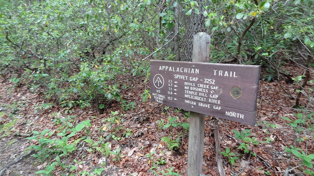
The Appalachian Trail and Erwin, Tennessee, are nearby attractions. Visitors can also explore the Cherokee National Forest for additional outdoor activities.
Wildlife
The area around Spivey Falls may feature birds, small mammals, and other typical Appalachian wildlife.
Cities near Spivey Falls
Nearby Waterfalls
Writing about Spivey Falls? Embed this waterfall on your site for free.