Photo Credits (1)
Difficulty
Moderate
Trail Length
2.0 miles
Trail Type
Out And Back
About Spainhour Falls
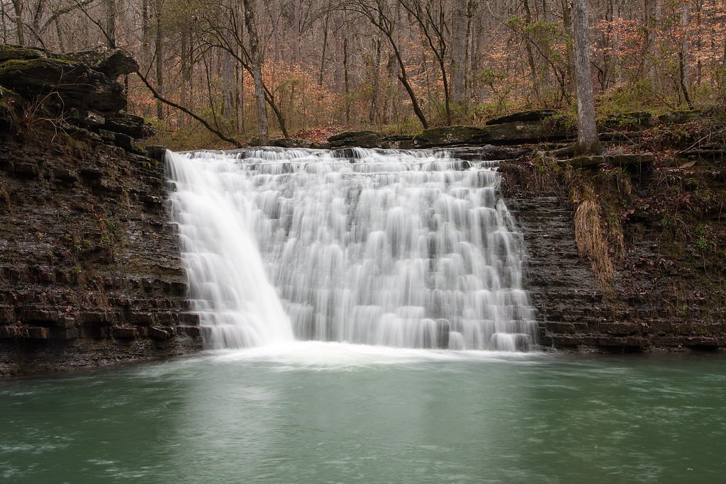
Spainhour Falls is a picturesque waterfall located in the Ozark National Forest in Arkansas. It is a seasonal waterfall, best viewed after significant rainfall, and is surrounded by lush forest scenery.
The Setting
Spainhour Falls sits at 1,010 feet within Ozark National Forest, in the foothills of Arkansas.
Trail & Hike Details
Trail Description
The trail to Spainhour Falls is not officially marked and may require navigation skills. It involves hiking through forested terrain, crossing streams, and navigating uneven ground. The trail can be muddy and slippery after rain.
What to Expect
Visitors can expect a serene and secluded waterfall surrounded by dense forest. The falls are most impressive after recent rainfall, as they are seasonal and may dry up during extended dry periods.
Accessibility
The trail is not wheelchair accessible. Uneven terrain and elevation changes require steady footing.
Frequently Asked Questions
🐶 Are Dogs Allowed at Spainhour Falls?
❌ Dogs are not allowed
Are There Any Fees or Permits Required?
🆖 No fees required
🏊 Is There Swimming at Spainhour Falls?
❌ Swimming is not allowed
When to Visit
The best time to visit is in the spring or after significant rainfall, when the waterfall is flowing at its fullest.
Seasonal Access
The best time to visit is Spring, Summer, and Fall. Winter access may be limited. Check with Ozark National Forest for seasonal road closures.
Safety Information
The trail can be slippery and muddy after rain. Stream crossings may be hazardous during high water levels. Cell phone service is limited, so plan accordingly and let someone know your itinerary.
Know when to go.
Get a free email alert when waterfalls near Oark hit peak flow. We only send when conditions are worth the trip — no weekly newsletters, no spam.
Weather Forecast
The Terrain, Seen by LiDAR
Aircraft-mounted lasers measured this ground to within inches. Trees and buildings are digitally stripped away, leaving the bare shape of the land the water has carved.
The bare-earth surface loses about 91 feet through the falls, but gradually, the profile of a cascade rather than a plunge. The ground at the falls is roughly 1,013 feet above sea level.
The whole reach is steep: about 214 feet of descent in the 500 feet above the falls and another 172 feet in the 500 feet below. The falls face southeast and catch soft morning light.
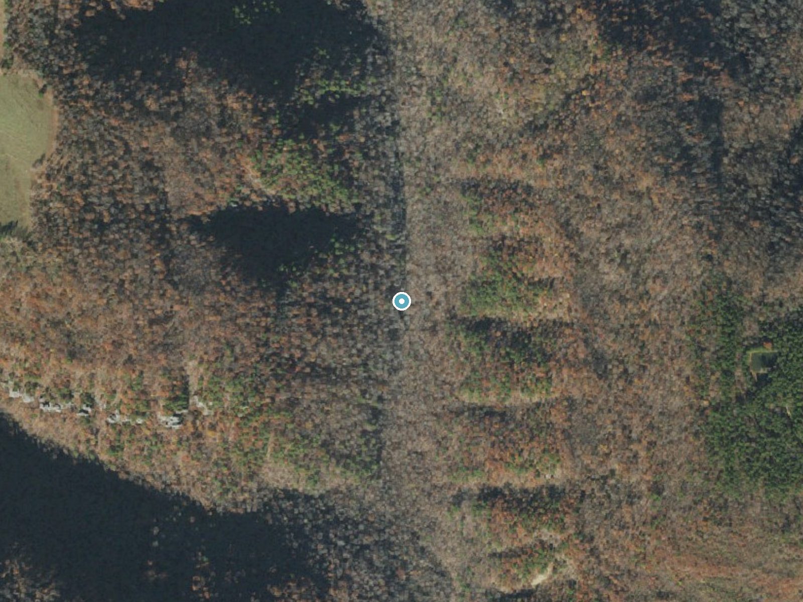
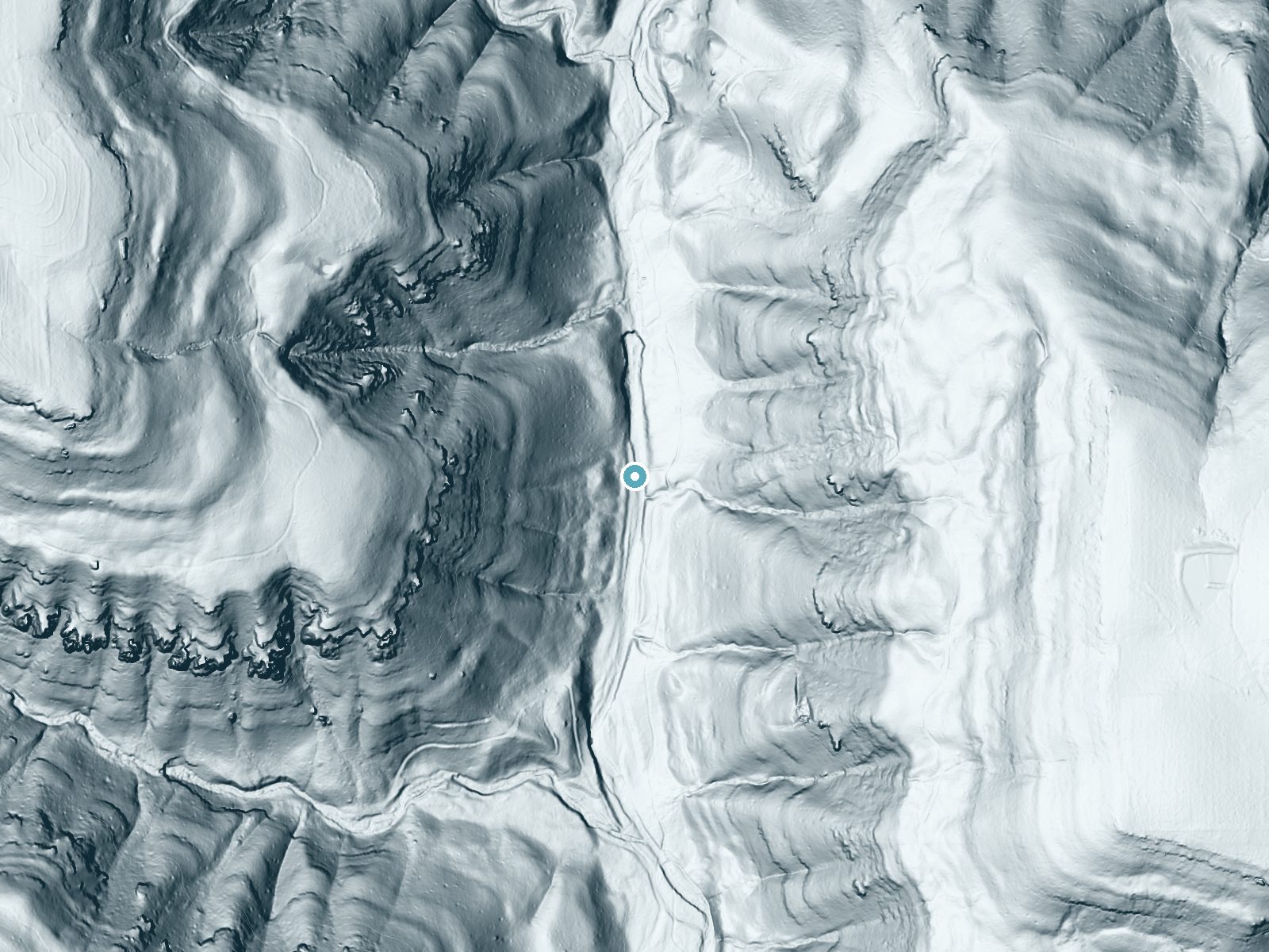
Drag to compare. The dot marks the waterfall. The frame is about a mile across.
- Ground elevation
- 1,013 feet
- Measured by 1-meter lidar
- Drop at the falls
- About 91 feet
- Change in ground height within ~250 feet of the falls
- Faces
- Southeast
- Catches soft morning light.
A slice through the lidar ground surface, from above the falls to downstream (heading southeast).
Elevation data: USGS 3D Elevation Program. Aerial imagery: USGS The National Map. Public domain.
Location & Access
Getting There
Spainhour Falls is located near the Richland Creek Wilderness area in the Ozark National Forest. Access typically involves driving on forest roads, which may be rough or unpaved. A high-clearance vehicle is recommended.
Get Directions on Google MapsParking
Parking is available at trailheads near the Richland Creek Wilderness area. Space may be limited, especially during peak seasons.
Elevation
1,010 feet above sea level
Coordinates
35.620360° N, -93.465184° W
Land Management
Managed by USFS
Visitor Tips & Gear
Wear sturdy hiking boots and bring a map or GPS device, as the trail is unmarked. Be prepared for stream crossings and potentially muddy conditions. Check weather conditions before visiting, as the area can become hazardous after heavy rain.
Where to Stay

Quality Inn & Suites Clarksville
Rural Arkansas Vacation Rental with Lake Access

Hampton Inn by Hilton Clarksville
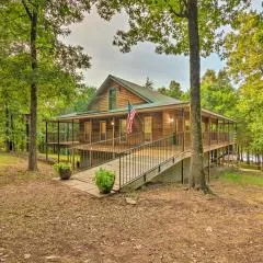
Deck + Fire Pit: Lakefront Hideaway in Scranton!
Browse vacation cabins and private rentals nearby
Unique outdoor stays — tents, yurts, and treehouses
Rent a campervan or RV for your waterfall road trip
Some links are affiliate links. We may earn a commission at no extra cost to you.
Nearby Campground
Wolf Pen Recreation Area
10.1 miles away · 0 sites
This campground, located next to the Mulberry River, offers scenic rock bluffs in the northwestern portion of the state. Activities include canoeing on the Mulberry River (very popular with the canoeists) within view of the scenic rock bluffs, fishing, hiking and river access. Camping consists of 6 primitive units, available space for small camping trailers, and the picnicking area is designed for 5 family units. The area is also equipped with vault toilets but there is no drinking water. Good fi
Book on Recreation.govAdditional Information
Nearby Attractions
Richland Creek Wilderness, Twin Falls, and other waterfalls in the Ozark National Forest.
Wildlife
The area is home to a variety of wildlife, including deer, birds, and small mammals. Be cautious of snakes, especially in warmer months.
Cities near Spainhour Falls
Writing about Spainhour Falls? Embed this waterfall on your site for free.