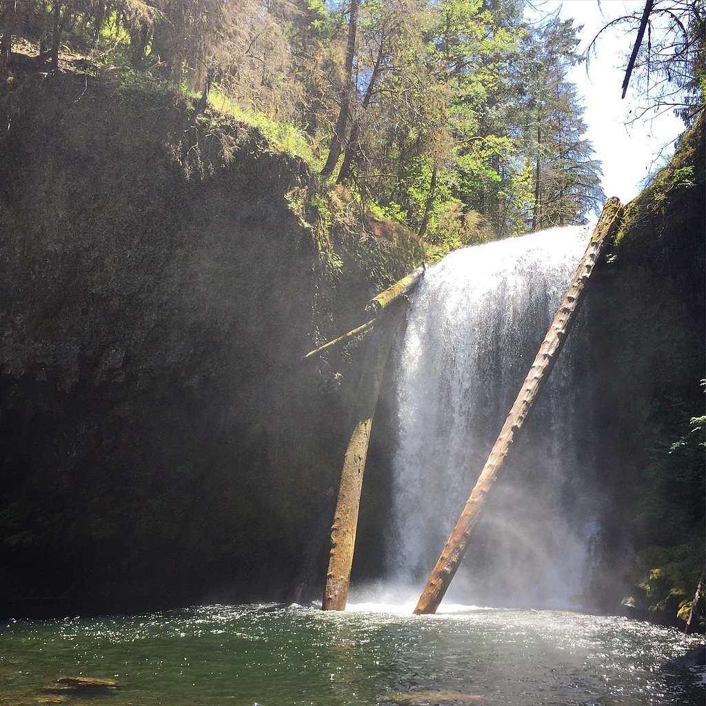
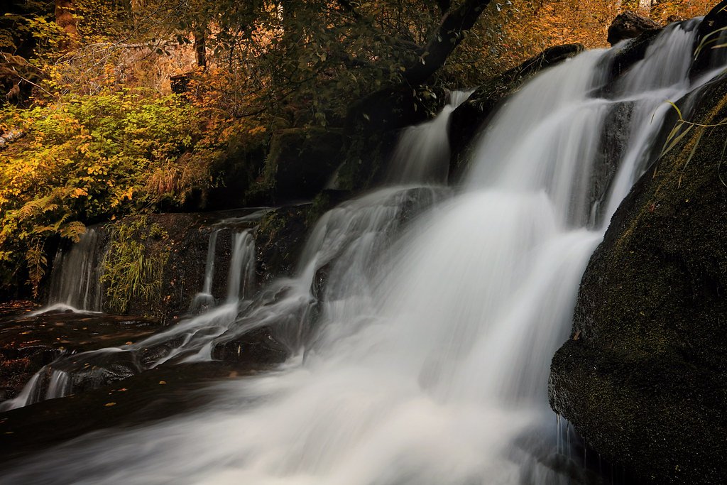
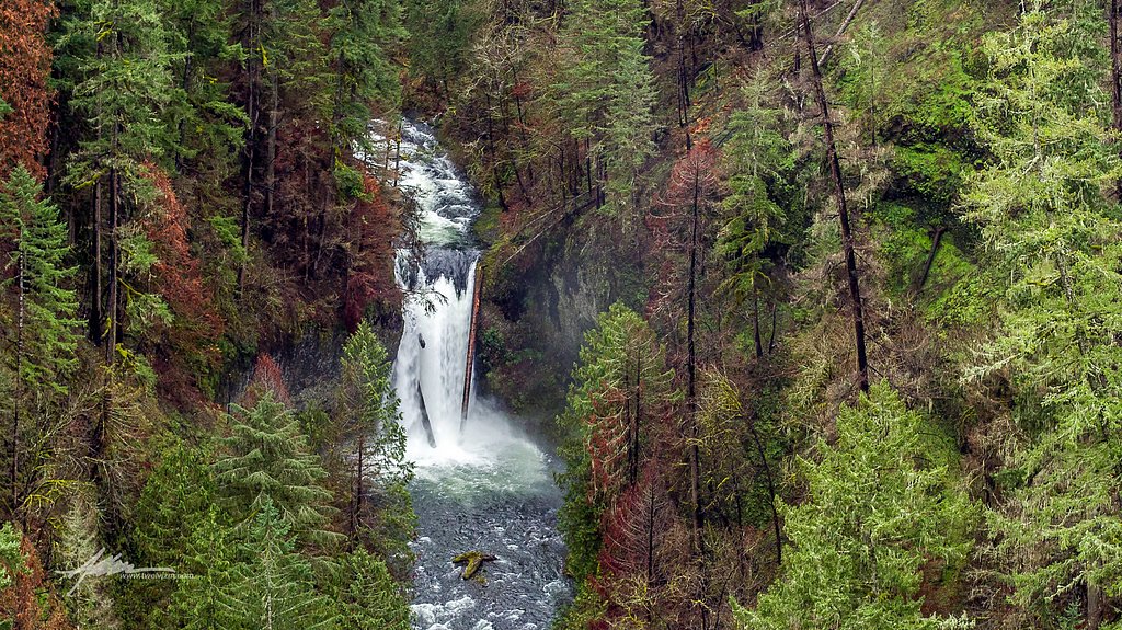
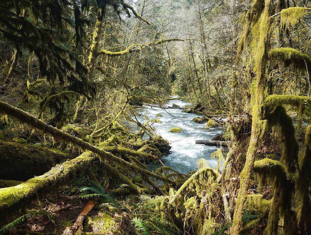
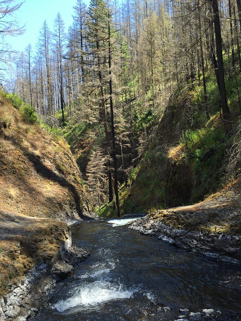
Photo Credits (5)
Difficulty
Easy
Trail Length
1.5 miles
Trail Type
Out And Back
About South Fork Falls
South Fork Falls is a peaceful little cascade tucked into forested country in central Oregon. Nestled on public lands managed by the Bureau of Land Management’s Prineville Central Oregon Field Office (designation: PUB), it’s a quieter, less-developed outing that appeals to hikers looking for a serene spot away from busier recreation areas. The short approach runs through shaded woods and opens to a pleasant waterfall setting that’s perfect for a picnic or a calm nature break. The hike to the falls is a moderate outing that’s accessible for many visitors who are comfortable on uneven terrain. The trail is an out-and-back route of 2.4 miles with roughly 350 feet of elevation gain, and because the corridor is BLM-managed expect a simple, low-impact trail experience with fewer facilities. The nearest maintained cabin/campground is Deer Creek Guard Station Cabin, about 16.15 km away, so plan accordingly for overnight stays.
The Setting
South Fork Falls sits at 3,566 feet within Prineville Central Oregon Field Office, in the mountains of Oregon.
Trail & Hike Details
Trail Description
This is a 2.4-mile out-and-back trail on BLM land (Prineville Central Oregon Field Office) with approximately 350 feet of elevation gain and a moderate difficulty rating. The route follows natural dirt tread through shaded, forested terrain and is generally non-technical, but grades can be steady in places and the tread may become muddy or slippery during wet weather. Suitable for hikers comfortable with moderate climbs and uneven surfaces; bring appropriate footwear and water.
What to Expect
Dogs are welcome.
Accessibility
The trail is not wheelchair accessible. Uneven terrain and elevation changes require steady footing.
Frequently Asked Questions
🐶 Are Dogs Allowed at South Fork Falls?
✅ Dogs are allowed
Are There Any Fees or Permits Required?
🤑 Fee: $5.00
🏊 Is There Swimming at South Fork Falls?
❌ Swimming is not allowed
When to Visit
Spring and early summer are ideal times to visit, as the waterfall flow is typically strongest due to snowmelt and rainfall.
Seasonal Access
The best time to visit is Spring, Summer, and Fall. Winter access may be limited.
Safety Information
The trail may be slippery after rain, and visitors should exercise caution near the waterfall to avoid accidents. Cell phone reception may be limited in the area.
Know when to go.
Get a free email alert when waterfalls near Dayville hit peak flow. We only send when conditions are worth the trip — no weekly newsletters, no spam.
Weather Forecast
The Terrain, Seen by LiDAR
Aircraft-mounted lasers measured this ground to within inches. Trees and buildings are digitally stripped away, leaving the bare shape of the land the water has carved.
Through the falls the surface drops roughly 125 feet over a short, steep run of tiers. Elevation at the pin is about 3,566 feet.
The whole reach is steep: about 174 feet of descent in the 500 feet above the falls and another 73 feet in the 500 feet below. The falls face northwest and stay mostly shaded, with soft, even light all day.
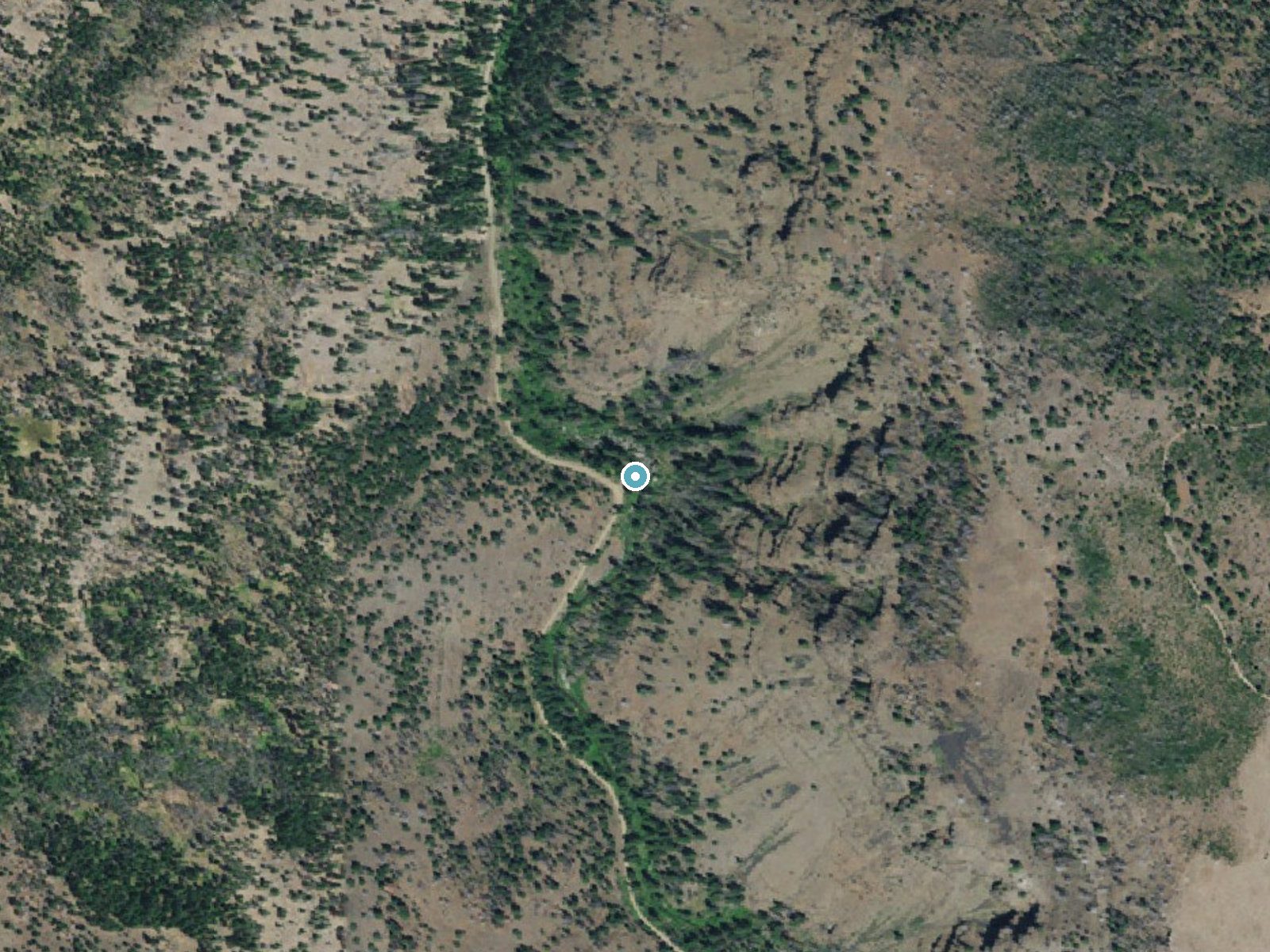
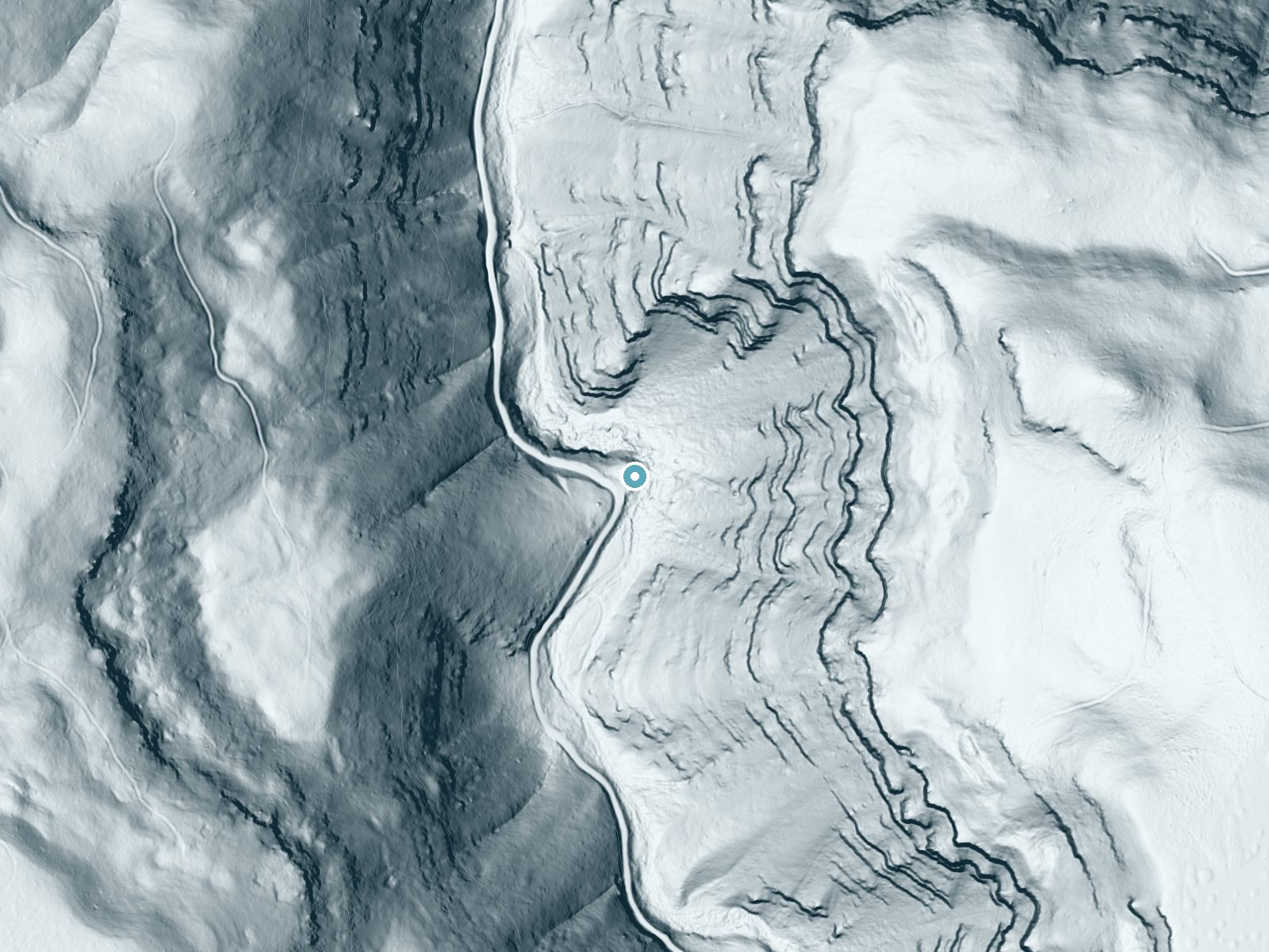
Drag to compare. The dot marks the waterfall. The frame is about a mile across.
- Ground elevation
- 3,566 feet
- Measured by 1-meter lidar
- Drop at the falls
- About 125 feet
- Change in ground height within ~250 feet of the falls
- Faces
- Northwest
- Mostly shaded, so the light stays soft and even all day.
A slice through the lidar ground surface, from above the falls to downstream (heading northwest).
Elevation data: USGS 3D Elevation Program. Aerial imagery: USGS The National Map. Public domain.
Location & Access
Getting There
South Fork Falls is located in the Umpqua National Forest in Oregon. Access typically involves driving on forest roads, which may be unpaved and require a high-clearance vehicle during certain seasons. Specific directions should be verified with local resources or maps.
Get Directions on Google MapsParking
Parking is available near the trailhead, but spaces may be limited. Visitors should plan to arrive early, especially during weekends or peak seasons.
Elevation
3,566 feet above sea level
Coordinates
44.184713° N, -119.524607° W
Land Management
Managed by BLM
Visitor Tips & Gear
Bring sturdy footwear, especially during wet conditions. Arrive early to secure parking and enjoy the trail without crowds. Check weather conditions before your visit, as the trail may become slippery after rain.
Where to Stay

John Day Motel

Best Western John Day Inn

John Day Lakehouse w/ a Great Outdoor Space!

Dreamers Lodge
Browse vacation cabins and private rentals nearby
Unique outdoor stays — tents, yurts, and treehouses
Rent a campervan or RV for your waterfall road trip
Some links are affiliate links. We may earn a commission at no extra cost to you.
Nearby Campground
DEER CREEK GUARD STATION CABIN
10 miles away · 1 sites
Overview Deer Creek Guard Station is located approximately 31 miles from the town of John Day, in central Oregon. It is in a beautiful, quiet location, off the beaten path. From sunup to sundown, the cabin affords opportunities for adventure in exploring, viewing wildlife, or just relaxing and enjoying the wonders of nature all around. The cabin is larger than some, is furnished and offers many comforts. It can be accessed by vehicle. Guests are responsible for their own travel arrangements and s
Book on Recreation.govNearby Hot Springs
Hot springs near South Fork Falls, Oregon
Brisbois Ranch Springs
Brisbois Ranch Springs produces 72-degree water that flows 24.2 degrees above ambient temperature in Grant County's mountainous...
Weberg Hot Spring
Weberg Hot Spring flows at 115°F at 4,936 feet in Harney County near Hines, creating a 69.8-degree differential above the 45.2°...
Warm Springs
Warm Springs flows at 84°F at 5,341 feet in Ochoco National Forest on US Forest Service land open to public access, creating a ...
Joaquin Miller Hot Springs
Joaquin Miller Hot Springs flows at 104°F, registering 57 degrees above ambient at 3,942 feet elevation in Grant County's fores...
Mount Vernon Hot Springs
Mount Vernon Hot Springs flows at 121°F in Grant County's mountains, emerging at 3,448 feet elevation and running 72 degrees ab...

Limekiln Hot Spring
Limekiln Hot Spring emerges at 70°F just 1.7 meters from Indian Creek Road in Grant County, making it one of Oregon's most acce...
Looking for a soak after your hike? Explore more hot springs near South Fork Falls, Oregon on SoakingSprings.
Explore Oregon springsAdditional Information
Nearby Attractions
Other waterfalls in the Umpqua National Forest, such as Toketee Falls and Watson Falls, are worth visiting.
Wildlife
The area is home to various wildlife, including birds, deer, and small mammals. Visitors should be cautious of ticks and other insects.
Other waterfalls named South Fork Falls
2 other waterfalls share this name across the U.S.
Writing about South Fork Falls? Embed this waterfall on your site for free.