Photo Credits (5)
Difficulty
Moderate
Trail Length
2.0 miles
Trail Type
Out And Back
Elevation Gain
300 ft
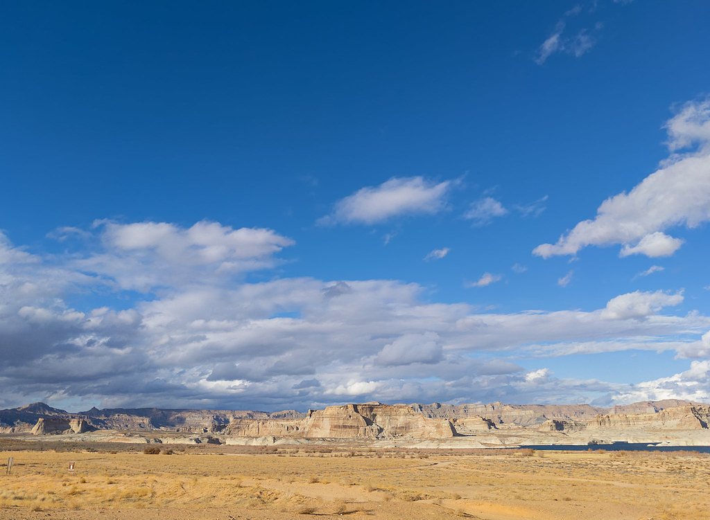
About South Fork Falls
Tucked into the White River National Forest and managed by the U.S. Forest Service, South Fork Falls is a quietly scenic stop for hikers who prefer less-crowded mountain streams and forested settings. The falls are most commonly reached from the SOUTH FORK BRIDGE route (USFS Trail #1827.1), where a short walk through spruce and aspen groves leads to the soothing cascade and natural pools — an inviting place for photos, birdwatching, and a peaceful break on a longer day hike. According to Forest Service records the route is associated with Trail #1827.1 and an official GIS mileage of 12.49, but the typical visitor route to the falls is about 2.0 miles round-trip with roughly 300 feet of elevation gain. Expect a moderate, out-and-back outing well suited to hikers looking for a relatively short escape into Colorado’s high-country woods under USFS stewardship.
The Setting
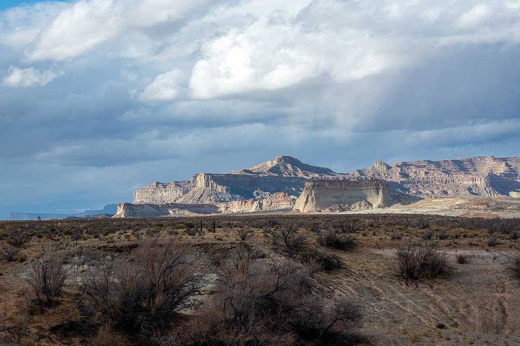
South Fork Falls sits at 8,619 feet within White River National Forest, fed by the Grizzly Creek, in the high alpine of Colorado.
Trail & Hike Details
The Approach
The moderate hike follows South Fork Bridge (#1827.1), a 2.0-mile out-and-back trail over natural surface. Expect 300 feet of elevation gain. The trail is developed (Class 3).
USFS Trail
SOUTH FORK BRIDGE #1827.1
Trail Class
Developed
Surface
USFS Segment
12.49 miTrail Description
SOUTH FORK BRIDGE (USFS Trail #1827.1) is an out-and-back route of about 2.0 miles round-trip with approximately 300 feet of elevation gain and a moderate difficulty rating. The trail is recorded by the Forest Service as Class 3 and is listed with a native-material surface, so hikers should plan for natural tread (dirt, roots and occasional rock) and a generally moderate grade. Trail conditions can include uneven or rocky sections and short steeper pitches consistent with its Class 3 designation, so sturdy footwear and basic scrambling comfort are recommended. The route is managed within the White River National Forest by the U.S. Forest Service; check current trail notices before you go.
What to Expect
Dogs are welcome.
Accessibility
The trail is not wheelchair accessible. Uneven terrain and elevation changes require steady footing.
Frequently Asked Questions
🐶 Are Dogs Allowed at South Fork Falls?
✅ Dogs are allowed
Are There Any Fees or Permits Required?
🆖 No fees required
🏊 Is There Swimming at South Fork Falls?
❌ Swimming is not allowed
When to Visit
Spring and early summer are ideal for visiting, as snowmelt increases the water flow. Fall offers beautiful foliage, while summer provides warmer weather for hiking.
Seasonal Access
The best time to visit is Spring, Summer, and Fall. Access roads and trails may close during winter due to snow. Check with White River National Forest for seasonal road closures.
Safety Information
Visitors should be cautious of slippery rocks near the waterfall and avoid getting too close to the edge. Weather can change rapidly in Colorado, so be prepared for sudden storms.
Current Water Conditions
3 ft³/s
Current discharge — how much water is flowing
About average for this time of year
Based on 3 years of record
2.13 ft
Water depth at gauge
7-Day Discharge Trend
What does this mean for your visit?
Flow is about average for this time of year.
About This Gauge
This gauge is on a nearby waterway and may not reflect exact conditions at the falls.
7-Day Flow Outlook
Based on the USGS gauge GRIZZLY CREEK NR GRIZZLY LAKE NR GLENWOOD SPGS, CO (14 km away).
Today
Moderate
4 cfs
6/10Tomorrow
Moderate
3 cfs
8/10Sun
Moderate
3 cfs
8/10Mon
Moderate
3 cfs
8/10Tue
Moderate
2 cfs
8/10Wed
Moderate
2 cfs
8/10Thu
Moderate
2 cfs
8/10Best window: Tomorrow — moderate flow, sunny (trip score 8/10).
Best time of year: this gauge typically runs highest from late April to mid July, peaking in June.
How we calculate this
This is a transparent outlook, not a precise forecast. We take the waterfall's current flow strength (how it ranks against its historical normal for today, from the nearest USGS stream gauge), carry that ranking forward along the gauge's seasonal curve, and nudge it for forecast rain. Confidence is highest for the next day or two and falls further out. Always check official conditions and your own judgment before visiting — high flows can be dangerous.
Know when to go.
Get a free email alert when waterfalls near Chacra hit peak flow. We only send when conditions are worth the trip — no weekly newsletters, no spam.
Weather Forecast
Location & Access
Getting There
South Fork Falls is located near the town of South Fork, Colorado. Access typically involves driving on forest service roads, which may require a high-clearance vehicle depending on conditions. Directions should be verified with local resources or maps.
Get Directions on Google MapsParking
Parking is available near the trailhead, but spaces may be limited. Visitors should plan to arrive early during peak seasons.
Elevation
8,619 feet above sea level
Coordinates
39.833870° N, -107.387556° W
Land Management
Managed by USFS
Visitor Tips & Gear
Bring plenty of water, wear sturdy shoes, and check weather conditions before heading out. Cell service may be limited in the area, so download maps or directions in advance.
This trail sits at 8,619 ft — the air is noticeably thinner
High AltitudeSome visitors experience headaches, fatigue, or shortness of breath at this elevation. Take it slow, stay hydrated, and consider supplemental oxygen if you're coming from a lower altitude.
As an Amazon Associate, we earn from qualifying purchases.

Coppertone Sport SPF 50 Sunscreen
UV intensity jumps ~4% per 1,000 ft — at this elevation you can burn in half the time.

Sun Bum SPF 30 Lip Balm (3-Pack)
Lips have almost no natural UV protection and burn fast in thin, dry mountain air.

Liquid I.V. Electrolyte Packets
You lose moisture ~2x faster at elevation — electrolytes help you absorb water efficiently.

ROCKNIGHT Polarized UV400 Sunglasses
High-altitude glare off rock and water is intense — UV400 lenses block 99%+ of UVA/UVB.

Boost Oxygen 10L Canister (2-Pack)
Portable supplemental oxygen for quick relief from headaches and shortness of breath.

Altitude Rx OxyBoost Complex
Antioxidant formula designed to support your body's natural altitude acclimation.
As an Amazon Associate, we earn from qualifying purchases.
With 2.0 miles and 300 ft of elevation gain, sturdy boots and trekking poles will help on this moderate trail. Sun exposure on the trail makes good sun protection a must in summer.

Polarized Sunglasses (Knockaround)
Cuts glare off the water so you actually see the falls — and your photos turn out better too.

Columbia Watertight II Rain Jacket
Packs into its own pocket, seam-sealed, and keeps you dry from spray and surprise rain.

Earth Pak Waterproof Dry Bag
Keeps your phone and gear dry when waterfall mist soaks everything else.

Waterproof Phone Pouch (AiRunTech)
Cheap insurance — take photos right next to the falls without killing your phone.

Timberland Euro Sprint Mid Waterproof
Trusted waterproof boot with premium leather and grippy rubber sole — reliable on rocky, wet trails.

TrailBuddy Trekking Poles
Lightweight aluminum, cork grips, and flip-locks that actually hold — a best-seller for good reason.
Where to Stay

Hotel Glenwood Springs

Quality Inn & Suites On The River

Comfort Inn & Suites Glenwood Springs On The River

Residence Inn Glenwood Springs
Browse vacation cabins and private rentals nearby
Unique outdoor stays — tents, yurts, and treehouses
Rent a campervan or RV for your waterfall road trip
Some links are affiliate links. We may earn a commission at no extra cost to you.
Nearby Campground
Meadow Ridge Campground
8.1 miles away · 0 sites
Meadow Ridge Campground is located 35 miles north of New Castle via the Buford-New Castle Road (County/Forest Road 245). The campground offers 20 campsites, all of which are available on a first-come, first-serve basis. These campsites are suitable for tent, RV, and trailer camping, with parking spurs of up to 50 feet in length.Facilities at the campground include picnic tables, fire grates, trash disposal, secure food storage, and vault toilets. The campground includes several handicap accessibl
Book on Recreation.govNearby Hot Springs
Hot springs near Chacra, Colorado
South Canyon Hot Springs
South Canyon Hot Springs delivers 118 degrees Fahrenheit at just 7.3 meters from Canyon Creek Road, making this one of Colorado...
Iron Mountain Hot Springs
Iron Mountain Hot Springs occupies the banks of the Colorado River in Glenwood Springs at 5,740 feet elevation, where a develop...
Yampah Hot Springs Vapor Caves
Yampah Hot Springs Vapor Caves occupy a unique niche in Colorado geothermal culture as the source of natural steam caves in the...

Glenwood Springs
Glenwood Springs reaches 124 degrees Fahrenheit and channels through the Sacred Waters facility in downtown Glenwood, standing ...
Dotsero Warm Springs
Dotsero Warm Springs flows at 90 degrees Fahrenheit along Eagle River corridor public lands, carrying extraordinary dissolved s...
Avalanche Ranch Hot Springs
Avalanche Ranch Hot Springs flows at 48 degrees Fahrenheit near Carbondale, making it the coolest thermal feature in this datas...
Looking for a soak after your hike? Explore more hot springs near Chacra, Colorado on SoakingSprings.
Explore Colorado springsAdditional Information
Nearby Attractions
The town of South Fork offers additional outdoor activities, including fishing, camping, and hiking. Wolf Creek Ski Area is also nearby for winter sports enthusiasts.
Wildlife
The area is home to various wildlife, including deer, birds, and small mammals. Visitors should be cautious of bears and follow proper food storage guidelines.
Cities near South Fork Falls
Other waterfalls named South Fork Falls
2 other waterfalls share this name across the U.S.
Writing about South Fork Falls? Embed this waterfall on your site for free.