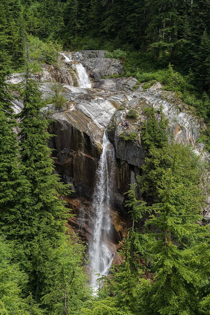
Snowshoe Falls
By Armen Suny · Last verified Mar 2026
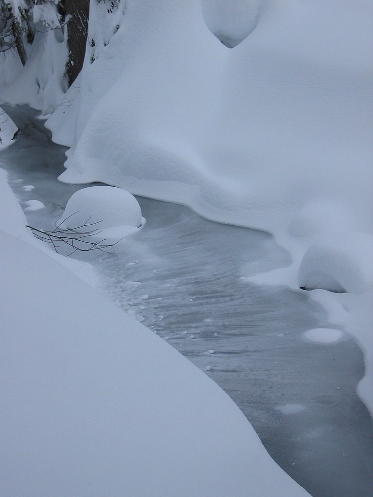
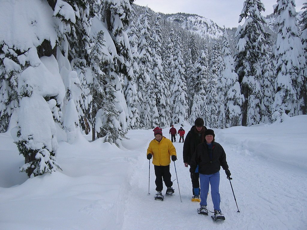
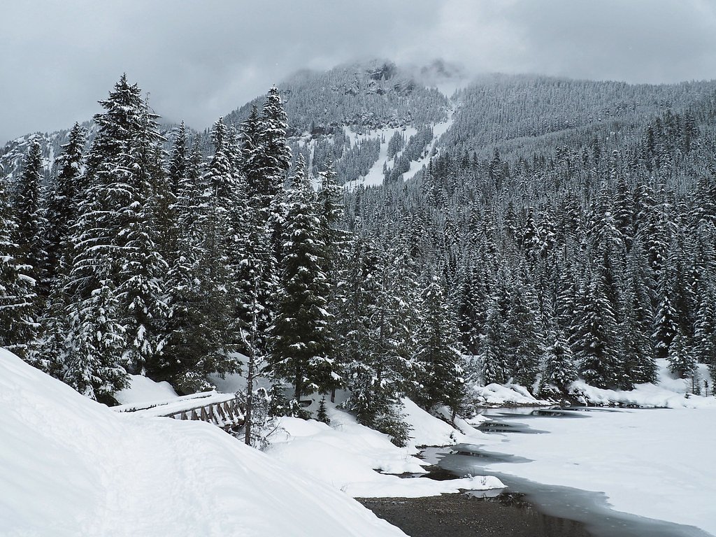
Photo Credits (5)
Difficulty
Moderate
Trail Length
4.0 miles
Trail Type
Out And Back
Elevation Gain
800 ft
About Snowshoe Falls
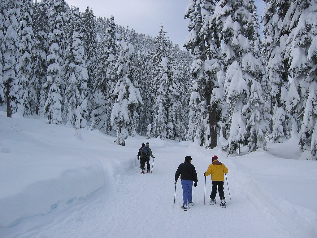
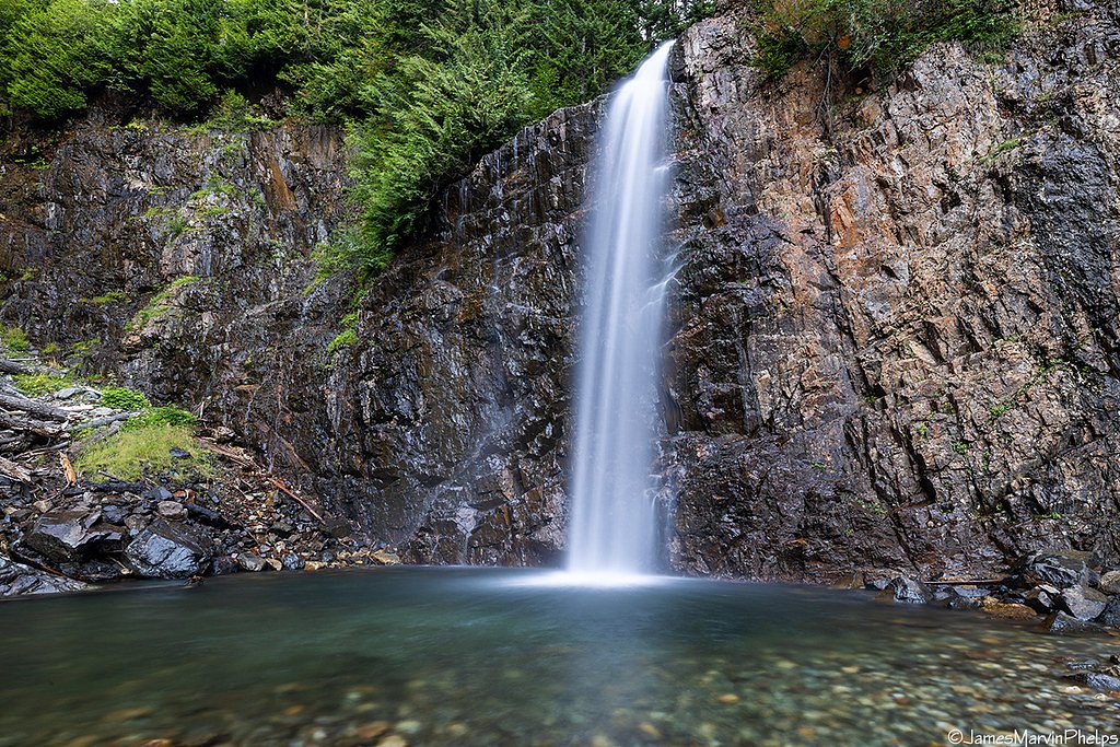
Tucked into the verdant slopes of the Snoqualmie National Forest and managed by the U.S. Forest Service, Snowshoe Falls is a peaceful, lesser-known cascade that rewards hikers with a quiet rainforest atmosphere and lush undergrowth. The waterfall is commonly accessed via the Denny Creek Trail (USFS Trail #1014), and while the official USFS GIS segment for the trail is recorded as 0.83 miles, the route most hikers follow is an out-and-back of roughly 4.0 miles with about 800 feet of elevation gain, rated moderate. Expect the soothing roar of falling water through a canopy of evergreens as you approach.
The Setting
Snowshoe Falls sits at 3,593 feet within Snoqualmie National Forest, fed by the Sf Snoqualmie River, in the mountains of Washington.
Trail & Hike Details
The Approach
The moderate hike follows Denny Creek (#1014), a 4.0-mile out-and-back trail over natural surface. Expect 800 feet of elevation gain with grades of 12-20%. The trail is highly developed (Class 4).
USFS Trail
DENNY CREEK #1014
Trail Class
Highly Developed
Surface
Avg Grade
USFS Segment
0.83 miTrail Description
Follow Denny Creek Trail (Trail #1014) on a native-material tread; the USFS lists the trail surface as NAT (native material) and records a GIS length of 0.83 miles for the managed trail segment. The path is class 4 in sections with a typical grade of 12–20%, so you’ll encounter some steeper, more rugged stretches that may require careful footing and occasional use of hands on rooted or rocky sections. The commonly used route to Snowshoe Falls is an out-and-back about 4.0 miles round trip with roughly 800 feet of elevation gain and is generally rated moderate in difficulty. For campers, Denny Creek Campground lies approximately 2.65 km from the trailhead, making overnight access convenient.
What to Expect
Dogs are welcome.
Accessibility
The trail is not wheelchair accessible. Uneven terrain and elevation changes require steady footing.
Frequently Asked Questions
🐶 Are Dogs Allowed at Snowshoe Falls?
✅ Dogs are allowed
Are There Any Fees or Permits Required?
🤑 Fee: $5.00
Permit required
A Northwest Forest Pass or equivalent is required for parking at most trailheads in the area.
🏊 Is There Swimming at Snowshoe Falls?
❌ Swimming is not allowed
When to Visit
Spring and early summer are ideal times to visit, as the waterfall is typically at its fullest due to snowmelt. Fall offers beautiful foliage, while summer provides warmer weather for hiking.
Seasonal Access
The best time to visit is Spring, Summer, and Fall. Winter access may be limited. Check with Snoqualmie National Forest for seasonal road closures.
Safety Information
Hikers should be cautious of slippery rocks near the falls and be prepared for changing weather conditions. Carry a first aid kit and let someone know your plans before heading out.
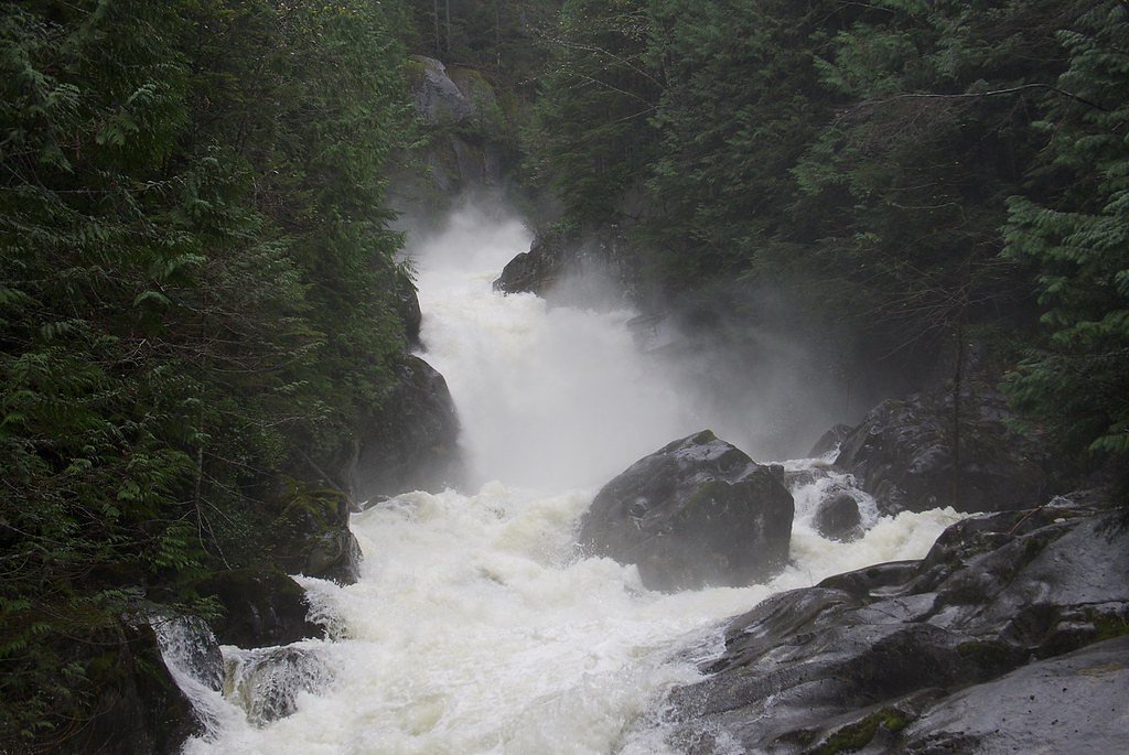
Current Water Conditions
64 ft³/s
Current discharge — how much water is flowing
Much lower than usual for this time of year
Based on 64 years of record
9.94 ft
Water depth at gauge
7-Day Discharge Trend
What does this mean for your visit?
Flow is well below normal for this time of year, so the waterfall may be a trickle.
About This Gauge
This gauge is on a nearby waterway and may not reflect exact conditions at the falls.
7-Day Flow Outlook
Based on the USGS gauge SF SNOQUALMIE RIVER AB ALICE CREEK NEAR GARCIA, WA (10 km away).
Today
Barely Flowing
64 cfs
5/10Tomorrow
Barely Flowing
59 cfs
5/10Tue
Barely Flowing
60 cfs
5/10Wed
Barely Flowing
59 cfs
5/10Thu
Low
65 cfs
4/10Fri
Low
61 cfs
4/10Sat
Low
60 cfs
4/10Best window: Today — barely flowing flow, sunny (trip score 5/10).
Best time of year: this gauge typically runs highest from early April to late June, peaking in May.
How we calculate this
This is a transparent outlook, not a precise forecast. We take the waterfall's current flow strength (how it ranks against its historical normal for today, from the nearest USGS stream gauge), carry that ranking forward along the gauge's seasonal curve, and nudge it for forecast rain. Confidence is highest for the next day or two and falls further out. Always check official conditions and your own judgment before visiting — high flows can be dangerous.
Know when to go.
Get a free email alert when waterfalls near Snoqualmie Pass hit peak flow. We only send when conditions are worth the trip — no weekly newsletters, no spam.
Weather Forecast
Location & Access
Getting There
Snowshoe Falls is located in the Alpine Lakes Wilderness area of Washington. Access typically involves driving to a trailhead near the Stevens Pass area, though specific directions may vary depending on the trail chosen.
Get Directions on Google MapsParking
Parking is available at nearby trailheads, but spaces may be limited during peak seasons. Visitors should check local trailhead information for updates.
Elevation
3,593 feet above sea level
Coordinates
47.434279° N, -121.455094° W
Land Management
Managed by USFS
Visitor Tips & Gear
Wear sturdy hiking boots, as the trail may be uneven or muddy in places. Bring plenty of water and snacks, and consider starting early to avoid crowds. Check weather conditions before heading out, especially in spring and fall when rain is common.
As an Amazon Associate, we earn from qualifying purchases.
With 4.0 miles and 800 ft of elevation gain, sturdy boots and trekking poles will help on this moderate trail. Sun exposure on the trail makes good sun protection a must in summer.

Polarized Sunglasses (Knockaround)
Cuts glare off the water so you actually see the falls — and your photos turn out better too.

Columbia Watertight II Rain Jacket
Packs into its own pocket, seam-sealed, and keeps you dry from spray and surprise rain.

Earth Pak Waterproof Dry Bag
Keeps your phone and gear dry when waterfall mist soaks everything else.

Waterproof Phone Pouch (AiRunTech)
Cheap insurance — take photos right next to the falls without killing your phone.

Timberland Euro Sprint Mid Waterproof
Trusted waterproof boot with premium leather and grippy rubber sole — reliable on rocky, wet trails.

TrailBuddy Trekking Poles
Lightweight aluminum, cork grips, and flip-locks that actually hold — a best-seller for good reason.
Where to Stay

Snoqualmie Inn by Hotel America

Moon River Suites #5

Moon River Suites #4

Moon River Suites #3
Browse vacation cabins and private rentals nearby
Unique outdoor stays — tents, yurts, and treehouses
Rent a campervan or RV for your waterfall road trip
Some links are affiliate links. We may earn a commission at no extra cost to you.
Nearby Campground
Denny Creek Campground
1.6 miles away · 43 sites
Overview Situated near the south fork of the Snoqualmie River in Mt. Baker-Snoqualmie National Forest, Denny Creek Campground offers visitors stunning scenery and easy access to an abundance of recreational activities in the Northern Cascade Range. Campsites sit beneath a canopy of forest, and a few are sprinkled at the banks of Lodge Creek, which flows into the Snoqualmie.Recreation In addition to being a prime location for hiking, fishing, picnicking and horseback riding in summer and early fal
Book on Recreation.govNearby Hot Springs
Hot springs near Snoqualmie Pass, Washington
Goldmeyer Hot Springs
Goldmeyer Hot Springs emerges at 127 degrees in the central Cascades, producing water 78.9 degrees above ambient temperature at...
Lester Hot Springs
This 120-degree spring sits within the City of Tacoma Watershed at 1,582 feet elevation, emerging 72.3 degrees above ambient in...
Scenic Hot Springs
Scenic Hot Springs delivers genuinely hot water at 122 degrees Fahrenheit at 2,246 feet elevation in the Cascade Mountains near...
Garland Mineral Springs
Garland Mineral Springs flows at 84 degrees in the Snoqualmie National Forest, producing water 39.6 degrees above ambient tempe...

Ohanapecosh Hot Springs
Ohanapecosh Hot Springs flows at 122 degrees within Mount Rainier National Park at 1,920 feet elevation, emerging 74.5 degrees ...

Mt Rainier Fumaroles
Mount Rainier fumaroles reach 162 degrees at 14,217 feet elevation, emerging 154.8 degrees above ambient at Washington's highes...
Looking for a soak after your hike? Explore more hot springs near Snoqualmie Pass, Washington on SoakingSprings.
Explore Washington springsAdditional Information
Nearby Attractions
Nearby attractions include Stevens Pass Ski Resort and other trails in the Alpine Lakes Wilderness area.
Wildlife
The area is home to a variety of wildlife, including deer, birds, and occasionally black bears. Visitors should practice proper wildlife safety.
Cities near Snowshoe Falls
Nearby Waterfalls
Other waterfalls named Snowshoe Falls
1 other waterfall shares this name across the U.S.
Writing about Snowshoe Falls? Embed this waterfall on your site for free.