Difficulty
Moderate
Trail Length
2.0 miles
Trail Type
Out And Back
Elevation Gain
300 ft
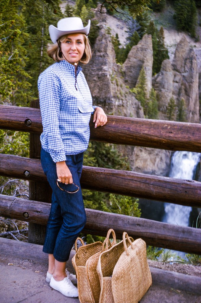
About Slide Creek Falls
Slide Creek Falls is a quiet, scenic waterfall tucked into Bridger National Forest in Wyoming and managed by the U.S. Forest Service. The falls are reached via the USFS Clear Creek Trail (Trail #7184); USFS GIS data shows a short 0.2-mile mapped segment associated with the route to the water. Its relative seclusion makes Slide Creek Falls an appealing choice for hikers seeking a peaceful, nature-focused outing away from busier trailheads. The hike to the falls is an approachable day trip — the route is a roughly 2.0-mile out-and-back with about 300 feet of elevation gain and is commonly rated moderate. If you’re camping, Green River Lake Lodge campground is nearby (about 4.82 km), making it easy to combine an overnight stay with an early-morning or evening visit to the falls.
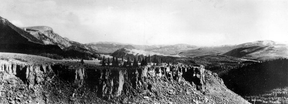
The Setting
Slide Creek Falls sits at 8,829 feet within Bridger National Forest, fed by the New Fork River, in the high alpine of Wyoming.
Trail & Hike Details
The Approach
The moderate hike follows Clear Creek (#7184), a 2.0-mile out-and-back trail over natural surface. Expect 300 feet of elevation gain. The trail is developed (Class 3).
USFS Trail
CLEAR CREEK #7184
Trail Class
Developed
Surface
USFS Segment
0.20 miTrail Description
Access to Slide Creek Falls follows the USFS Clear Creek Trail (Trail #7184). According to USFS trail data the trail is classified as Class 3 with a native-material tread (surface: NATIVE MATERIAL) and a GIS segment noted at 0.2 miles. The full outing is about 2.0 miles round-trip (out-and-back) with roughly 300 feet of elevation gain and a moderate difficulty rating. Expect a natural dirt-and-root tread with uneven and rocky sections and a few steeper stretches consistent with a Class 3 designation; sturdy footwear is recommended. The trail provides occasional open views through the trees, but much of the approach is forested and close to native terrain.
What to Expect
Visitors can expect a tranquil hike through a scenic forest leading to a cascading waterfall. The area around the falls is typically quiet, offering opportunities for photography and relaxation. Wildlife sightings are possible, so hikers should remain alert.
Accessibility
The trail is not wheelchair accessible. Uneven terrain and elevation changes require steady footing.
Frequently Asked Questions
🐶 Are Dogs Allowed at Slide Creek Falls?
❌ Dogs are not allowed
Are There Any Fees or Permits Required?
🆖 No fees required
🏊 Is There Swimming at Slide Creek Falls?
❌ Swimming is not allowed
When to Visit
The best time to visit is late spring through early fall when the trail is most accessible, and the waterfall flow is typically at its peak due to snowmelt.
Seasonal Access
The best time to visit is Spring, Summer, and Fall. Access roads and trails may close during winter due to snow. Check with Bridger National Forest for seasonal road closures.
Safety Information
Visitors should be prepared for changing weather conditions and carry bear spray. The trail may be slippery near the waterfall, so caution is advised. Always inform someone of your plans before heading out.
7-Day Flow Outlook
Based on the USGS gauge New Fork River ab New Fork Lakes, nr Cora, WY (20 km away).
Today
Moderate
193 cfs
6/10Tomorrow
Moderate
176 cfs
6/10Fri
Moderate
167 cfs
6/10Sat
Moderate
185 cfs
6/10Sun
Moderate
146 cfs
6/10Mon
Moderate
127 cfs
6/10Tue
Moderate
114 cfs
9/10Best window: Tue — moderate flow, sunny (trip score 9/10).
Best time of year: this gauge typically runs highest from late April to late July, peaking in June.
How we calculate this
This is a transparent outlook, not a precise forecast. We take the waterfall's current flow strength (how it ranks against its historical normal for today, from the nearest USGS stream gauge), carry that ranking forward along the gauge's seasonal curve, and nudge it for forecast rain. Confidence is highest for the next day or two and falls further out. Always check official conditions and your own judgment before visiting — high flows can be dangerous.
Know when to go.
Get a free email alert when waterfalls near Dubois hit peak flow. We only send when conditions are worth the trip — no weekly newsletters, no spam.
Weather Forecast
Location & Access
Getting There
Slide Creek Falls is located within the Bridger-Teton National Forest. Access typically involves driving on forest service roads, which may be unpaved and require a high-clearance vehicle during certain seasons. Specific directions should be confirmed with local ranger stations or reliable trail resources.
Get Directions on Google MapsParking
Parking is available at a nearby trailhead, but spaces may be limited. Visitors should plan to arrive early, especially during peak seasons.
Elevation
8,829 feet above sea level
Coordinates
43.288837° N, -109.807936° W
Land Management
Managed by USFS
Visitor Tips & Gear
Check weather conditions before your visit, as the trail can become muddy or slippery after rain. Bring plenty of water and snacks, and ensure you have a map or GPS device as cell service may be limited.
This trail sits at 8,829 ft — the air is noticeably thinner
High AltitudeSome visitors experience headaches, fatigue, or shortness of breath at this elevation. Take it slow, stay hydrated, and consider supplemental oxygen if you're coming from a lower altitude.
As an Amazon Associate, we earn from qualifying purchases.

Coppertone Sport SPF 50 Sunscreen
UV intensity jumps ~4% per 1,000 ft — at this elevation you can burn in half the time.

Sun Bum SPF 30 Lip Balm (3-Pack)
Lips have almost no natural UV protection and burn fast in thin, dry mountain air.

Liquid I.V. Electrolyte Packets
You lose moisture ~2x faster at elevation — electrolytes help you absorb water efficiently.

ROCKNIGHT Polarized UV400 Sunglasses
High-altitude glare off rock and water is intense — UV400 lenses block 99%+ of UVA/UVB.

Boost Oxygen 10L Canister (2-Pack)
Portable supplemental oxygen for quick relief from headaches and shortness of breath.

Altitude Rx OxyBoost Complex
Antioxidant formula designed to support your body's natural altitude acclimation.
As an Amazon Associate, we earn from qualifying purchases.
With 2.0 miles and 300 ft of elevation gain, sturdy boots and trekking poles will help on this moderate trail. Sun exposure on the trail makes good sun protection a must in summer.

Columbia Watertight II Rain Jacket
Packs into its own pocket, seam-sealed, and keeps you dry from spray and surprise rain.

Earth Pak Waterproof Dry Bag
Keeps your phone and gear dry when waterfall mist soaks everything else.

Waterproof Phone Pouch (AiRunTech)
Cheap insurance — take photos right next to the falls without killing your phone.

Timberland Euro Sprint Mid Waterproof
Trusted waterproof boot with premium leather and grippy rubber sole — reliable on rocky, wet trails.

TrailBuddy Trekking Poles
Lightweight aluminum, cork grips, and flip-locks that actually hold — a best-seller for good reason.

Polarized Sunglasses (Knockaround)
Cuts glare off the water so you actually see the falls — and your photos turn out better too.
Where to Stay

Trails end motel

Chinook Winds Lodge

Stagecoach Inn & Suites

Crooked Creek Guest Ranch
Browse vacation cabins and private rentals nearby
Unique outdoor stays — tents, yurts, and treehouses
Rent a campervan or RV for your waterfall road trip
Some links are affiliate links. We may earn a commission at no extra cost to you.
Nearby Campground
Green River Lake Lodge
3 miles away · 1 sites
Overview The Green River Lakes Lodge is located 50 miles north of Pinedale, Wyoming. The lodge is available as a rental for day use events such as weddings, family reunions, or meetings for up to 50 guests, or as an overnight rental for smaller groups of up to 12 guests. Recreation During the summer months, hiking and horseback riding into the Bridger Wilderness and Wind River Range are popular activities enjoyed by visitors to the area. The lake is open to small watercraft only, making it an exc
Book on Recreation.govNearby Hot Springs
Hot springs near Dubois, Wyoming
Kendall Warm Spring
Kendall Warm Spring emerges at 86 degrees with pH 7.8 and high sulfate content (650 mg/L) at 7,820 feet in Bridger National For...
Geyser (Warm Spring Creek Springs)
This thermal feature produces 84-degree Fahrenheit water on Bureau of Land Management lands at 7,260 feet elevation, emerging i...
Little Warm Spring
Little Warm Spring discharges at 77 degrees Fahrenheit just 42 meters from Three Spear Ranch Access Road at 7,403 feet elevatio...
Jakeys Fork Spring
Jakeys Fork Spring emerges at 68 degrees Fahrenheit at 7,176 feet elevation in Sublette County near Pinedale, located 540 feet ...
Granite Falls Hot Springs
This Forest Service-maintained spring produces 112-degree Fahrenheit water at 6,882 feet elevation, accessible via 625-foot wal...

Granite Hot Spring
This spring produces 106-degree Fahrenheit water at 7,035 feet elevation on Forest Service land, emerging 750 feet from the roa...
Looking for a soak after your hike? Explore more hot springs near Dubois, Wyoming on SoakingSprings.
Explore Wyoming springsAdditional Information
Nearby Attractions
Nearby attractions include other trails and scenic spots within the Bridger-Teton National Forest, as well as Grand Teton National Park, which is a short drive away.
Wildlife
The area is home to a variety of wildlife, including deer, elk, and birds. Bear sightings are possible, so visitors should carry bear spray and follow safety guidelines.
Cities near Slide Creek Falls
Nearby Waterfalls
Writing about Slide Creek Falls? Embed this waterfall on your site for free.