Salmon Creek Falls
California • 120 ft
By Armen Suny · Last verified Mar 2026
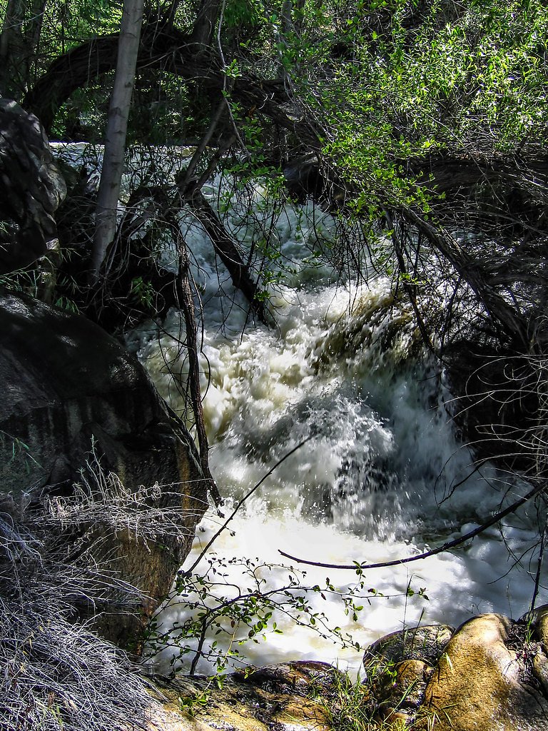
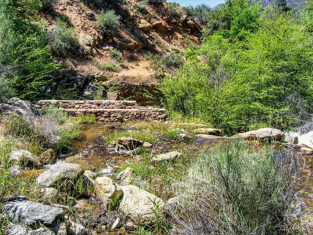
Photo Credits (5)
Difficulty
Moderate
Trail Length
2.4 miles
Trail Type
Out And Back
Elevation Gain
350 ft
About Salmon Creek Falls
Salmon Creek Falls is a picturesque waterfall located in the Big Sur region of California. It features a stunning cascade surrounded by lush greenery, making it a popular destination for nature lovers and photographers.
The Setting
Salmon Creek Falls sits at 6,463 feet within Sequoia National Forest, in the high mountains of California. At 120 feet, it is among the taller waterfalls in California.
Height: 120 feet
Trail & Hike Details
The Approach
The moderate hike follows Salmon Creek (#33E36), a 2.4-mile out-and-back trail over natural surface. Expect 350 feet of elevation gain with grades of 12-20%. The trail is moderately developed (Class 2).
USFS Trail
SALMON CREEK #33E36
Trail Class
Moderately Developed
Surface
Avg Grade
USFS Segment
5.62 miTrail Description
The trail to Salmon Creek Falls is short and relatively flat, making it suitable for most visitors. It leads through a shaded forested area and ends at the base of the waterfall. The path may be uneven in some sections, so sturdy footwear is recommended.
What to Expect
The falls cascade 120 feet. Dogs are welcome.
Accessibility
The trail is not wheelchair accessible. Uneven terrain and elevation changes require steady footing.
Frequently Asked Questions
🐶 Are Dogs Allowed at Salmon Creek Falls?
✅ Dogs are allowed
Are There Any Fees or Permits Required?
🆖 No fees required
🏊 Is There Swimming at Salmon Creek Falls?
❌ Swimming is not allowed
When to Visit
Spring is the best time to visit, as the waterfall is typically at its fullest due to seasonal rainfall. However, it can be enjoyed year-round.
Seasonal Access
The best time to visit is Spring, Summer, Fall, and Winter. Check with Sequoia National Forest for seasonal road closures.
Safety Information
Be cautious of slippery rocks near the waterfall and avoid climbing on unstable surfaces. Watch for poison oak along the trail.
Current Water Conditions
Based on a USGS gauge 15.5 miles away
12 ft³/s
Current discharge — how much water is flowing
About average for this time of year
Based on 26 years of record
2.30 ft
Water depth at gauge
68°F
CoolRefreshing for swimming
7-Day Discharge Trend
What does this mean for your visit?
Flow is about average for this time of year. Water temperature is a refreshing 68 degrees F, good for a quick swim. PH is normal at 7.3 and mineral content is typical.
Water Quality
pH
NormalWithin healthy range (6.5-8.5)
Conductance
Dissolved minerals in the water
About This Gauge
This gauge is on a regional waterway. Conditions at the falls may differ, especially after local rain.
7-Day Flow Outlook
Based on the USGS gauge SF TULE R NR CHOLOLLO CAMPGROUND NR PORTERVILLE CA (25 km away).
Today
Barely Flowing
12 cfs
5/10Tomorrow
Barely Flowing
11 cfs
5/10Tue
Barely Flowing
11 cfs
5/10Wed
Low
12 cfs
3/10Thu
Barely Flowing
11 cfs
5/10Fri
Barely Flowing
10 cfs
5/10Sat
Barely Flowing
10 cfs
5/10Best window: Today — barely flowing flow, sunny (trip score 5/10).
Best time of year: this gauge typically runs highest from late February to late May, peaking in March.
How we calculate this
This is a transparent outlook, not a precise forecast. We take the waterfall's current flow strength (how it ranks against its historical normal for today, from the nearest USGS stream gauge), carry that ranking forward along the gauge's seasonal curve, and nudge it for forecast rain. Confidence is highest for the next day or two and falls further out. Always check official conditions and your own judgment before visiting — high flows can be dangerous.
Know when to go.
Get a free email alert when waterfalls near Kernville hit peak flow. We only send when conditions are worth the trip — no weekly newsletters, no spam.
Weather Forecast
Location & Access
Getting There
Salmon Creek Falls is located off Highway 1 in the southern part of Big Sur, California. The trailhead is near the Salmon Creek Ranger Station, and the waterfall is accessible via a short hike.
Get Directions on Google MapsParking
Parking is available along Highway 1 near the trailhead. Spaces may be limited, especially during weekends and peak seasons.
Elevation
6,463 feet above sea level
Coordinates
35.910072° N, -118.435128° W
Land Management
Managed by USFS
Visitor Tips & Gear
Arrive early to secure parking, especially during weekends. Bring water and wear sturdy shoes, as the trail can be uneven. Be cautious of slippery rocks near the waterfall.
This trail sits at 6,463 ft above sea level
Elevated TrailUV radiation is roughly 26% stronger at this elevation than at sea level, and the dry air accelerates dehydration. Extra sun protection and fluids go a long way.
As an Amazon Associate, we earn from qualifying purchases.

Coppertone Sport SPF 50 Sunscreen
UV intensity jumps ~4% per 1,000 ft — at this elevation you can burn in half the time.

Sun Bum SPF 30 Lip Balm (3-Pack)
Lips have almost no natural UV protection and burn fast in thin, dry mountain air.

Liquid I.V. Electrolyte Packets
You lose moisture ~2x faster at elevation — electrolytes help you absorb water efficiently.

ROCKNIGHT Polarized UV400 Sunglasses
High-altitude glare off rock and water is intense — UV400 lenses block 99%+ of UVA/UVB.
As an Amazon Associate, we earn from qualifying purchases.
With 2.4 miles and 350 ft of elevation gain, sturdy boots and trekking poles will help on this moderate trail. Icy conditions are common in winter — traction cleats are a smart addition.

Columbia Watertight II Rain Jacket
Packs into its own pocket, seam-sealed, and keeps you dry from spray and surprise rain.

Polarized Sunglasses (Knockaround)
Cuts glare off the water so you actually see the falls — and your photos turn out better too.

Earth Pak Waterproof Dry Bag
Keeps your phone and gear dry when waterfall mist soaks everything else.

Waterproof Phone Pouch (AiRunTech)
Cheap insurance — take photos right next to the falls without killing your phone.

Timberland Euro Sprint Mid Waterproof
Trusted waterproof boot with premium leather and grippy rubber sole — reliable on rocky, wet trails.

TrailBuddy Trekking Poles
Lightweight aluminum, cork grips, and flip-locks that actually hold — a best-seller for good reason.
Where to Stay

Quiet Mind Lodge, Spa & Retreat Sequoias

Corral Creek Lodge

Whispering Pines Lodge

Sequoia Lodge
Browse vacation cabins and private rentals nearby
Unique outdoor stays — tents, yurts, and treehouses
Rent a campervan or RV for your waterfall road trip
Some links are affiliate links. We may earn a commission at no extra cost to you.
Nearby Campground
GOLDLEDGE CAMPGROUND
2.8 miles away · 37 sites
Overview Goldledge Campground is situated along the Kern River, 10 miles north of the town of Kernville. Hiking, fishing, kayaking and rafting are popular activities.Recreation Hiking, fishing, kayaking and rafting are popular activities in the Upper Kern River area. Click here to learn more about the area, including safety and permitting requirements and a listing of local outfitters.Facilities The campground offers single-family sites, some of which are designated for walk-to tent camping only.
Book on Recreation.govNearby Hot Springs
Hot springs near Kernville, California
Hot Spring
Hot Spring near Kernville emerges at 113°F from the Sierra Nevada foothills at 2,847 feet elevation, creating a warm thermal oa...
California Hot Springs
California Hot Springs emerges at 122°F from the Sierra Nevada's western slope in Kern County at 3,178 feet elevation. Located ...

Scovern Hot Springs
Scovern Hot Springs, historically known as Agua Caliente, delivers impressively hot 133°F water in the Kern River Valley of the...

Miracle Hot Sprs, Hobo Hot Sprs
Miracle Hot Springs (also called Hobo Hot Springs) flows at 119°F along the spectacular Kern River canyon within Sequoia Nation...

Jordan Hot Springs
Jordan Hot Springs delivers 124-degree water from the Golden Trout Wilderness at 6,533 feet elevation, ranking among California...
Remington Hot Springs
Remington Hot Springs flows from undeveloped thermal waters on the banks of the scenic Kern River near Bodfish in Sequoia Natio...
Looking for a soak after your hike? Explore more hot springs near Kernville, California on SoakingSprings.
Explore California springsAdditional Information
Nearby Attractions
Nearby attractions include Limekiln State Park, Sand Dollar Beach, and other scenic spots along Highway 1 in Big Sur.
Wildlife
The area is home to various wildlife, including birds, deer, and small mammals. Poison oak is also common, so stay on the trail.
Cities near Salmon Creek Falls
Nearby Waterfalls

Writing about Salmon Creek Falls? Embed this waterfall on your site for free.