Ribbon Falls
Arizona • Grand Canyon National Park
By Armen Suny · Last verified Sep 2026
LiDAR & 3D terrain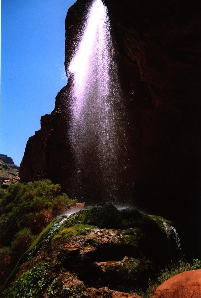
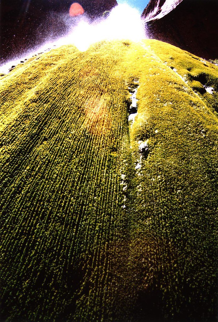
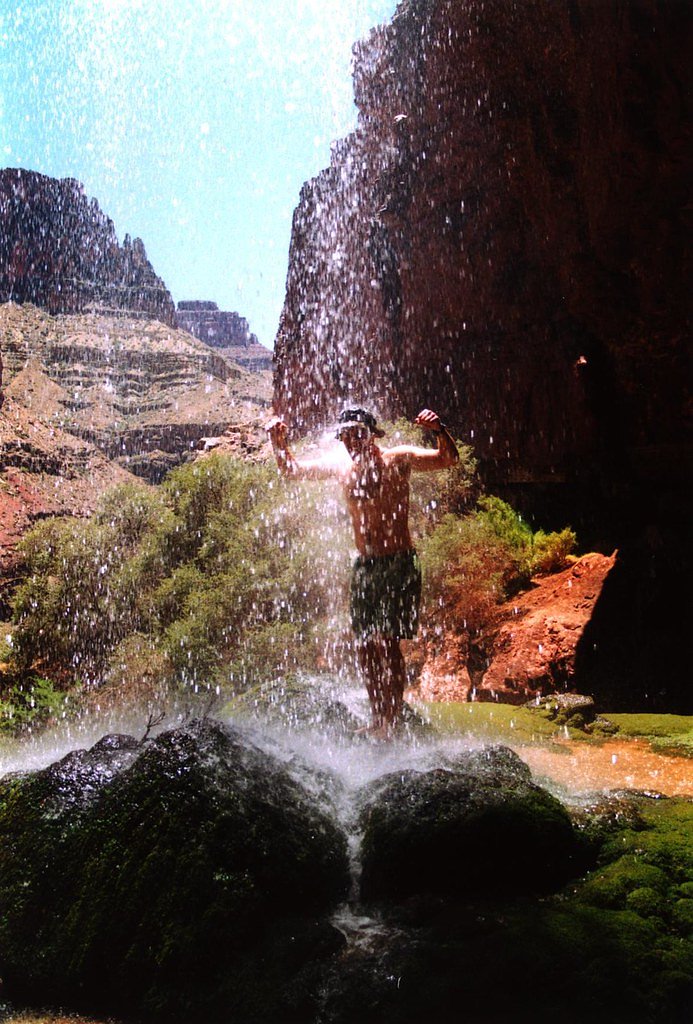

Photo Credits (5)
Difficulty
Hard
Trail Length
12.0 miles
Trail Type
Out And Back
About Ribbon Falls
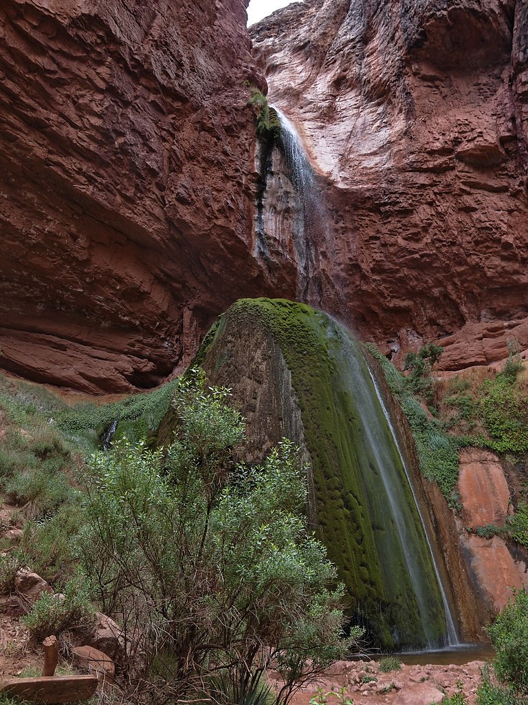
Ribbon Falls is a moss-draped oasis tucked into the inner canyon along the North Kaibab Trail in Grand Canyon National Park, managed by the National Park Service. Fed by a perennial spring, the falls tumble over verdant, moss-covered rock faces into a shaded pool — a surprisingly lush, cool respite from the canyon's arid rim. Hikers often pause here to enjoy the serene atmosphere and the contrast between the ribbon-like cascade and the surrounding red-rock amphitheater. The falls are reached via a short side path off the North Kaibab Trail, making Ribbon Falls a popular half-day diversion for rim-to-river or rim-to-rim hikers. The trail to the falls is an out-and-back route of about 2.4 miles with roughly 350 feet of elevation change and a moderate difficulty rating, and the North Rim Campground is nearby (about 5.67 km) for those planning an overnight stay in the park.
The Setting
Ribbon Falls sits at 3,812 feet within Grand Canyon National Park, fed by the Bright Angel Creek, in the mountains of Arizona.
Nearby Falls Worth Visiting
Cheyava Falls, the tallest waterfall in Arizona at 800 feet, lies 4.6 miles to the east.
Trail & Hike Details
Trail Description
Ribbon Falls is accessed from the North Kaibab Trail; expect an out-and-back hike of roughly 2.4 miles round trip with about 350 feet of cumulative elevation gain. The route is rated moderate and follows singletrack and heavily used tread that descends into the canyon with steep switchbacks and some rugged sections. A short side trail leads to the falls and is crossed by a small bridge over Bright Angel Creek; the immediate area around the cascade is shaded and lush, offering a cool resting spot for hikers. Managed by the National Park Service as part of Grand Canyon National Park, the route is well-defined but requires standard canyon hiking precautions (water, sun protection, and awareness of steep grades).
What to Expect
Expect a challenging hike with breathtaking views of the Grand Canyon. Ribbon Falls is a tranquil spot with cascading water over moss-covered rocks, creating a picturesque and serene environment. The area is often less crowded than other parts of the canyon, making it a peaceful retreat.
Accessibility
The trail involves steep, uneven terrain with significant elevation change and is not accessible to mobility devices.
Frequently Asked Questions
🐶 Are Dogs Allowed at Ribbon Falls?
❌ Dogs are not allowed
Are There Any Fees or Permits Required?
🤑 Fee: $35.00
Permit required
A backcountry permit is required for overnight stays in the Grand Canyon. Day hikes to Ribbon Falls do not require a permit.
🏊 Is There Swimming at Ribbon Falls?
❌ Swimming is not allowed
When to Visit
Spring and fall are the best times to visit due to milder temperatures. Summer can be extremely hot, and winter conditions may make the trail icy or hazardous.
Seasonal Access
The best time to visit is Spring, Summer, and Fall. Winter access may be limited. Watch for flash flood warnings during monsoon season (July through September). Check with Grand Canyon National Park for current conditions.
Safety Information
The hike to Ribbon Falls is challenging and requires preparation. Be aware of extreme heat in summer, carry sufficient water, and watch for signs of dehydration or heat exhaustion. The trail can be icy or slippery in winter. Always check trail conditions before starting your hike.
Current Water Conditions
14.43 ft
Water depth at gauge
About This Gauge
Know when to go.
Get a free email alert when waterfalls near Grand Canyon Village hit peak flow. We only send when conditions are worth the trip — no weekly newsletters, no spam.
Weather Forecast
The Terrain, Seen by LiDAR
Aircraft-mounted lasers measured this ground to within inches. Trees and buildings are digitally stripped away, leaving the bare shape of the land the water has carved.
Along the line through the falls, the bare ground drops about 317 feet, most of it in one sheer step, the signature of a plunge waterfall. The ground at the falls is roughly 3,791 feet above sea level.
The ground changes about 125 feet in the 500 feet above the falls and 59 feet in the 500 feet below. Facing southeast, the falls sit in full sun for most of the day, best photographed early or late.
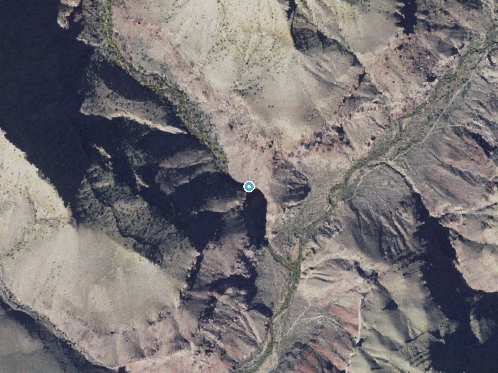
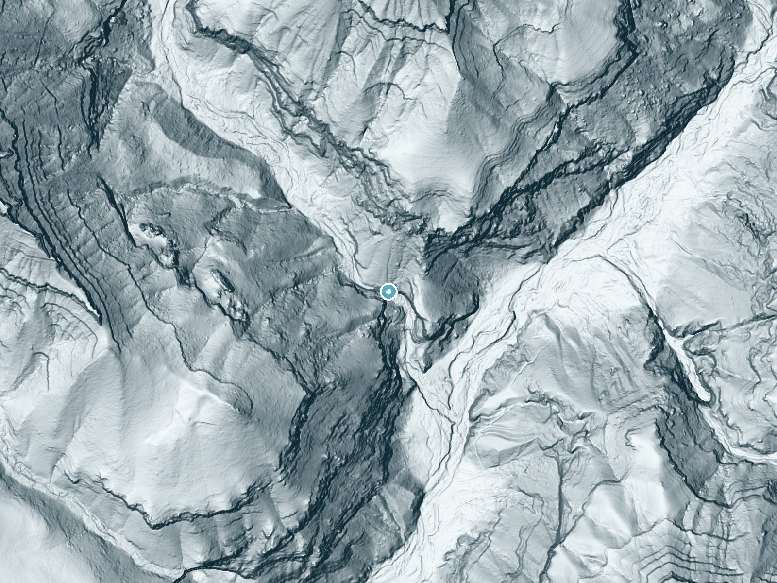
Drag to compare. The dot marks the waterfall. The frame is about a mile across.
- Ground elevation
- 3,791 feet
- Measured by 1-meter lidar
- Drop at the falls
- About 317 feet
- Change in ground height within ~250 feet of the falls
- Faces
- Southeast
- Sunlit most of the day. Go early or late for softer light.
A slice through the lidar ground surface, from above the falls to downstream (heading southeast).
Elevation data: USGS 3D Elevation Program. Aerial imagery: USGS The National Map. Public domain.
Location & Access
Getting There
Ribbon Falls is accessed via the North Kaibab Trail in Grand Canyon National Park. The trailhead is located at the North Rim, and the falls are approximately 6 miles from Phantom Ranch or 9 miles from the North Kaibab Trailhead.
Get Directions on Google MapsParking
Parking is available at the North Kaibab Trailhead on the North Rim of the Grand Canyon. Note that parking may be limited during peak seasons.
Elevation
3,812 feet above sea level
Coordinates
36.159483° N, -112.055600° W
Land Management
Managed by NPS
Visitor Tips & Gear
Start your hike early to avoid the heat, especially in summer. Bring plenty of water, as the trail can be strenuous and temperatures can be extreme. Wear sturdy hiking shoes and be prepared for steep and rocky sections. Consider staying at Phantom Ranch or camping along the trail to break up the hike.
Where to Stay

Grand Canyon Hotel & Suites

The Grand Hotel at the Grand Canyon

Red Feather Lodge/Hotel

Holiday Inn Resort The Squire at Grand Canyon by IHG
Browse vacation cabins and private rentals nearby
Unique outdoor stays — tents, yurts, and treehouses
Rent a campervan or RV for your waterfall road trip
Some links are affiliate links. We may earn a commission at no extra cost to you.
Nearby Campground
North Rim Campground (AZ)
3.5 miles away · 125 sites
Overview The North Rim Campground is located on the remote and rustic North Rim of Grand Canyon National Park in northern Arizona, approximately 210 miles (338 km) from Grand Canyon Village, AZ on the South Rim. It is nestled in a thick ponderosa and aspen forest just on the canyon's edge at an elevation of 8,200 feet. This facility is perfect for tent camping and smaller RVs. Due to its heavily forested location, large and/or high-profile RVs cannot be accommodated. The maximum length in each s
Book on Recreation.govNearby Hot Springs
Hot springs near Ribbon Falls, Arizona
Looking for a soak after your hike? Explore more hot springs near Ribbon Falls, Arizona on SoakingSprings.
Explore Arizona springsAdditional Information
Nearby Attractions
Phantom Ranch, Bright Angel Creek, Colorado River, and other points of interest along the North Kaibab Trail.
Wildlife
You may encounter mule deer, bighorn sheep, lizards, and a variety of birds. Be cautious of snakes and other desert wildlife.
Nearby Waterfalls
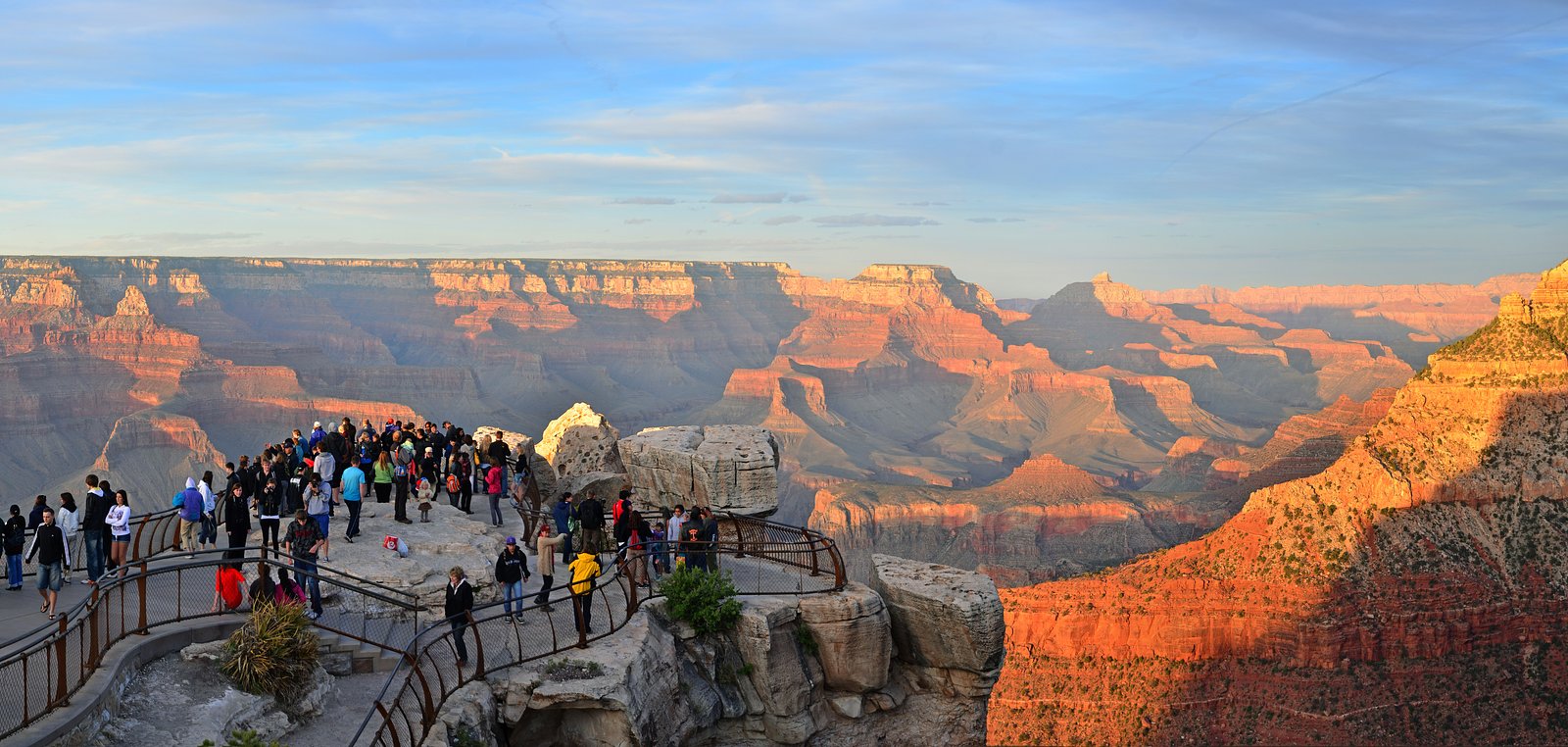
Other waterfalls named Ribbon Falls
1 other waterfall shares this name across the U.S.
Writing about Ribbon Falls? Embed this waterfall on your site for free.