Cheyava Falls
Arizona • Grand Canyon National Park • 800 ft
By Armen Suny · Last verified May 2026
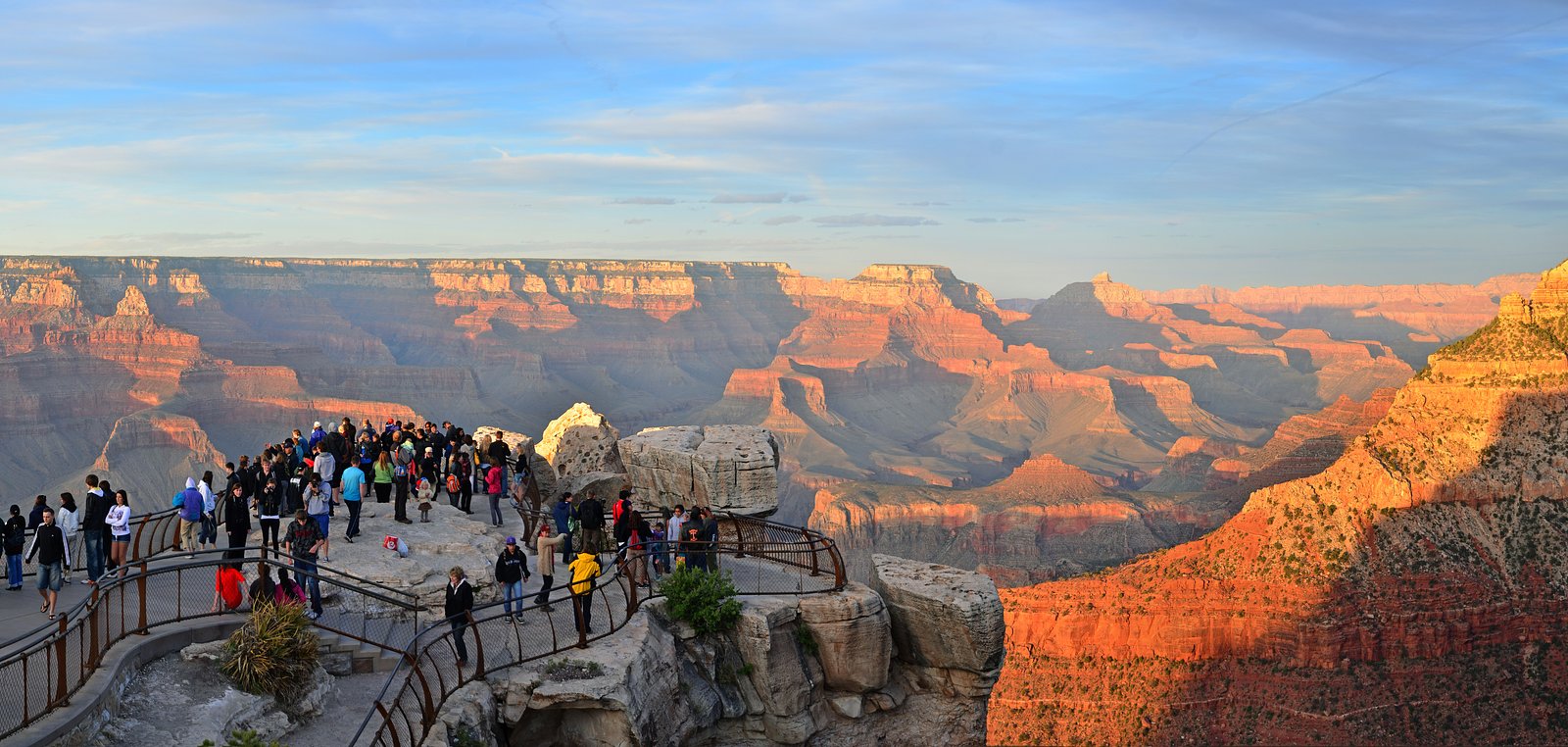
Photo Credits (5)
Difficulty
Moderate
Trail Length
2.4 miles
Trail Type
Out And Back
Elevation Gain
350 ft
About Cheyava Falls
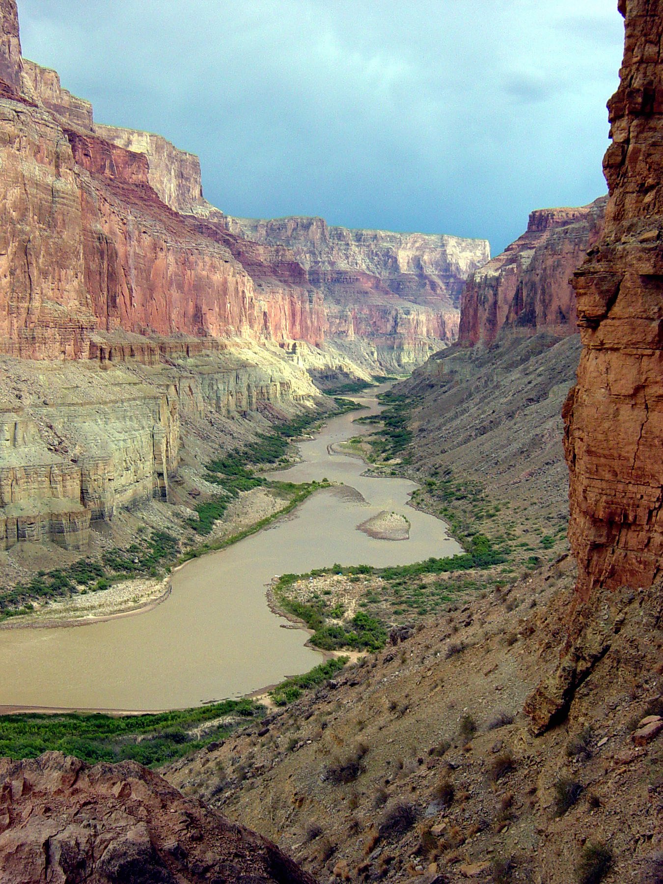
Cheyava Falls is a seasonal waterfall located in the Grand Canyon National Park, Arizona. It is one of the tallest waterfalls in the park, cascading down a steep cliff face when water flow is sufficient, typically during spring snowmelt or after heavy rains.
The Setting
Cheyava Falls sits at 5,928 feet within Grand Canyon National Park, fed by the Colorado River, in the high mountains of Arizona. At 800 feet, it is among the taller waterfalls in Arizona.
Height: 800 feet
Trail & Hike Details
The Approach
The moderate 2.4-mile out-and-back trail gains 350 feet of elevation on the way to the falls.
Trail Description
The trail to Cheyava Falls is long and challenging, requiring hikers to traverse rugged terrain, steep inclines, and exposed sections. Starting from Phantom Ranch, the Clear Creek Trail leads to the vicinity of the falls. The final approach to the falls may involve off-trail navigation and scrambling over rocks.
What to Expect
The falls plunge a dramatic 800 feet.
Accessibility
The trail is not wheelchair accessible. Uneven terrain and elevation changes require steady footing.
Frequently Asked Questions
🐶 Are Dogs Allowed at Cheyava Falls?
❌ Dogs are not allowed
Are There Any Fees or Permits Required?
🤑 Fee: $35.00
Permit required
A backcountry permit is required for overnight stays in the Grand Canyon. Permits can be obtained through the Grand Canyon National Park Backcountry Information Center.
🏊 Is There Swimming at Cheyava Falls?
❌ Swimming is not allowed
When to Visit
Spring, particularly after snowmelt, is the best time to visit Cheyava Falls for optimal water flow.
Seasonal Access
The best time to visit is Spring, Summer, and Fall. Access roads and trails may close during winter due to snow. Watch for flash flood warnings during monsoon season (July through September). Check with Grand Canyon National Park for current conditions.
Safety Information
The hike to Cheyava Falls is strenuous and requires proper preparation. Carry sufficient water, as dehydration is a significant risk. Be aware of extreme temperatures, especially in summer. Navigation skills are essential for the final approach to the falls.
Current Water Conditions
10,400 ft³/s
Current discharge — how much water is flowing
Lower than usual for this time of year
Based on 101 years of record
7.77 ft
Water depth at gauge
7-Day Discharge Trend
What does this mean for your visit?
Flow is lower than usual for this time of year.
About This Gauge
This gauge is on a nearby waterway and may not reflect exact conditions at the falls.
7-Day Flow Outlook
Based on the USGS gauge COLORADO RIVER NEAR GRAND CANYON, AZ (11 km away).
Today
Roaring
10400 cfs
9/10Tomorrow
Roaring
10225 cfs
9/10Mon
Roaring
9757 cfs
9/10Tue
Roaring
9348 cfs
9/10Wed
Roaring
9290 cfs
9/10Thu
Roaring
10049 cfs
9/10Fri
Roaring
10283 cfs
9/10Best window: Today — roaring flow, sunny (trip score 9/10).
Best time of year: this gauge typically runs highest from late April to late July, peaking in June.
How we calculate this
This is a transparent outlook, not a precise forecast. We take the waterfall's current flow strength (how it ranks against its historical normal for today, from the nearest USGS stream gauge), carry that ranking forward along the gauge's seasonal curve, and nudge it for forecast rain. Confidence is highest for the next day or two and falls further out. Always check official conditions and your own judgment before visiting — high flows can be dangerous.
Know when to go.
Get a free email alert when waterfalls near Grand Canyon Village hit peak flow. We only send when conditions are worth the trip — no weekly newsletters, no spam.
Weather Forecast
Location & Access
Getting There
Cheyava Falls is located in the remote backcountry of the Grand Canyon. Access typically requires a strenuous hike from the North Rim or South Rim, with the North Rim being the more common starting point. The falls are situated near Clear Creek, which is accessible via the Clear Creek Trail.
Get Directions on Google MapsParking
Parking is available at the Grand Canyon National Park's designated trailheads, such as the North Kaibab Trailhead or South Kaibab Trailhead, depending on your starting point.
Elevation
5,928 feet above sea level
Coordinates
36.146095° N, -111.974332° W
Land Management
Managed by NPS
Visitor Tips & Gear
Plan your visit during spring or early summer for the best chance of seeing the falls at full flow. Be prepared for a strenuous hike and carry plenty of water, as the trail is exposed and temperatures can be extreme. Check trail conditions and water availability before starting your hike.
This trail sits at 5,928 ft above sea level
Elevated TrailUV radiation is roughly 24% stronger at this elevation than at sea level, and the dry air accelerates dehydration. Extra sun protection and fluids go a long way.
As an Amazon Associate, we earn from qualifying purchases.

Coppertone Sport SPF 50 Sunscreen
UV intensity jumps ~4% per 1,000 ft — at this elevation you can burn in half the time.

Sun Bum SPF 30 Lip Balm (3-Pack)
Lips have almost no natural UV protection and burn fast in thin, dry mountain air.

Liquid I.V. Electrolyte Packets
You lose moisture ~2x faster at elevation — electrolytes help you absorb water efficiently.

ROCKNIGHT Polarized UV400 Sunglasses
High-altitude glare off rock and water is intense — UV400 lenses block 99%+ of UVA/UVB.
As an Amazon Associate, we earn from qualifying purchases.
With 2.4 miles and 350 ft of elevation gain, sturdy boots and trekking poles will help on this moderate trail. Sun exposure on the trail makes good sun protection a must in summer.
America the Beautiful Annual Pass
Covers entrance fees at 2,000+ federal recreation sites — required at most National Parks.

Polarized Sunglasses (Knockaround)
Cuts glare off the water so you actually see the falls — and your photos turn out better too.

Columbia Watertight II Rain Jacket
Packs into its own pocket, seam-sealed, and keeps you dry from spray and surprise rain.

Earth Pak Waterproof Dry Bag
Keeps your phone and gear dry when waterfall mist soaks everything else.

Waterproof Phone Pouch (AiRunTech)
Cheap insurance — take photos right next to the falls without killing your phone.

Timberland Euro Sprint Mid Waterproof
Trusted waterproof boot with premium leather and grippy rubber sole — reliable on rocky, wet trails.

TrailBuddy Trekking Poles
Lightweight aluminum, cork grips, and flip-locks that actually hold — a best-seller for good reason.
Where to Stay

Grand Canyon Hotel & Suites

The Grand Hotel at the Grand Canyon

Holiday Inn Resort The Squire at Grand Canyon by IHG

Red Feather Lodge/Hotel
Browse vacation cabins and private rentals nearby
Unique outdoor stays — tents, yurts, and treehouses
Rent a campervan or RV for your waterfall road trip
Some links are affiliate links. We may earn a commission at no extra cost to you.
Nearby Campground
North Rim Campground (AZ)
6.5 miles away · 125 sites
Overview The North Rim Campground is located on the remote and rustic North Rim of Grand Canyon National Park in northern Arizona, approximately 210 miles (338 km) from Grand Canyon Village, AZ on the South Rim. It is nestled in a thick ponderosa and aspen forest just on the canyon's edge at an elevation of 8,200 feet. This facility is perfect for tent camping and smaller RVs. Due to its heavily forested location, large and/or high-profile RVs cannot be accommodated. The maximum length in each s
Book on Recreation.govNearby Hot Springs
Hot springs near Grand Canyon Village, Arizona
Looking for a soak after your hike? Explore more hot springs near Grand Canyon Village, Arizona on SoakingSprings.
Explore Arizona springsAdditional Information
Nearby Attractions
Phantom Ranch, Bright Angel Trail, North Kaibab Trail, Clear Creek
Wildlife
The area is home to a variety of wildlife, including mule deer, bighorn sheep, and numerous bird species. Be cautious of snakes and other desert animals.
Cities near Cheyava Falls
Nearby Waterfalls

Writing about Cheyava Falls? Embed this waterfall on your site for free.