Rattlesnake Falls
By Armen Suny · Last verified Mar 2026
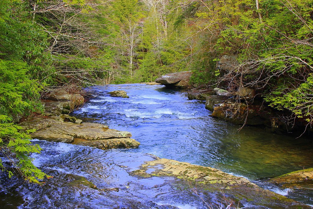
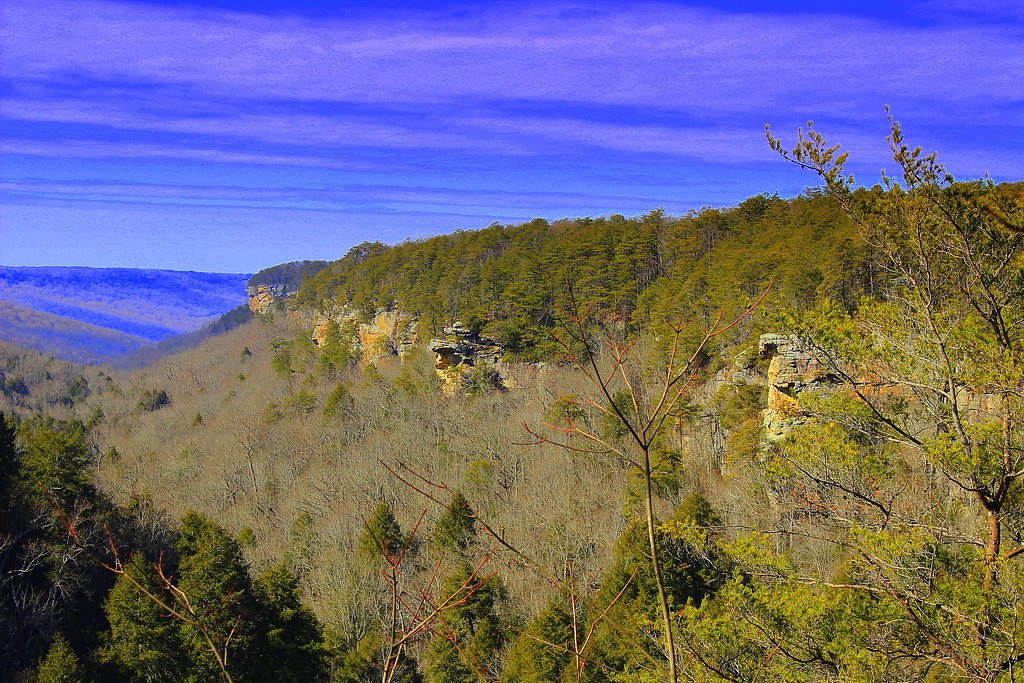
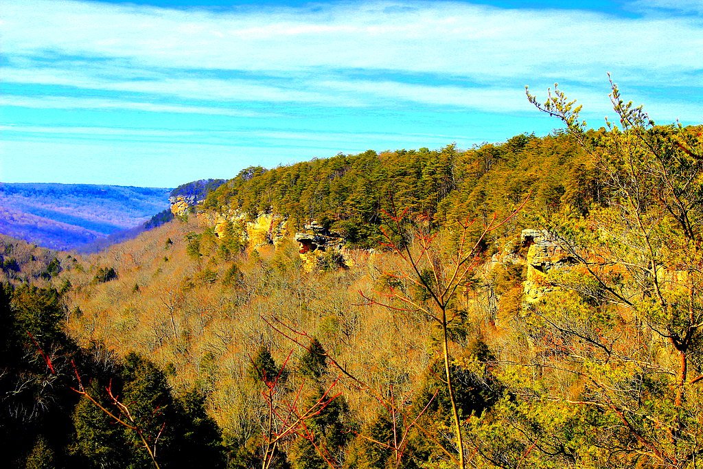
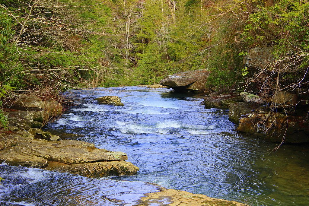
Photo Credits (5)
Difficulty
Moderate
Trail Length
2.0 miles
Trail Type
Out And Back
Elevation Gain
300 ft
About Rattlesnake Falls
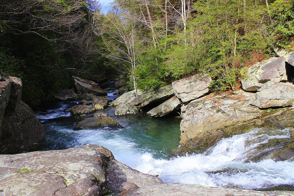
Rattlesnake Falls is a scenic waterfall located in Tennessee, known for its serene surroundings and natural beauty. It is a lesser-known destination, making it a peaceful spot for visitors seeking solitude in nature.
The Setting
Rattlesnake Falls sits at 902 feet along the Duck River, in the foothills of Tennessee.
Trail & Hike Details
The Approach
The moderate 2.0-mile out-and-back trail gains 300 feet of elevation on the way to the falls.
Trail Description
The trail to Rattlesnake Falls is a moderately challenging hike through wooded terrain. It features some rocky and uneven sections, with a gradual incline leading to the waterfall. The path is surrounded by lush greenery, making it a picturesque journey.
What to Expect
Visitors can expect a peaceful hike through forested areas, culminating in a view of the waterfall cascading into a small pool. The area is typically quiet and less crowded compared to more popular waterfalls.
Accessibility
The trail is not wheelchair accessible. Uneven terrain and elevation changes require steady footing.
Frequently Asked Questions
🐶 Are Dogs Allowed at Rattlesnake Falls?
❌ Dogs are not allowed
Are There Any Fees or Permits Required?
🆖 No fees required
🏊 Is There Swimming at Rattlesnake Falls?
❌ Swimming is not allowed
When to Visit
Spring and early summer are ideal for visiting, as the waterfall flow is typically stronger due to seasonal rainfall.
Seasonal Access
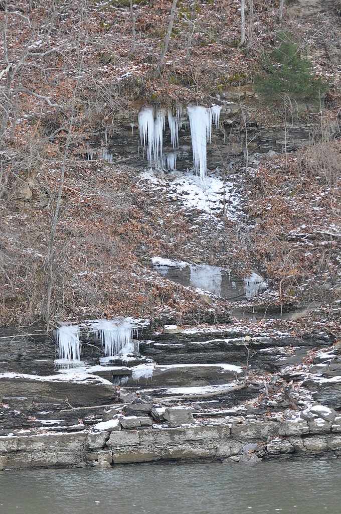
The best time to visit is Spring, Summer, and Fall. Winter access may be limited.
Safety Information
The trail may have slippery or uneven sections, especially after rain. Watch for loose rocks and be cautious near the waterfall edge. Cell service may be limited in the area.
Current Water Conditions
Based on a USGS gauge 17.4 miles away
651 ft³/s
Current discharge — how much water is flowing
About average for this time of year
Based on 49 years of record
2.97 ft
Water depth at gauge
7-Day Discharge Trend
What does this mean for your visit?
Flow is about average for this time of year.
About This Gauge
This gauge is on a regional waterway. Conditions at the falls may differ, especially after local rain.
7-Day Flow Outlook
Based on the USGS gauge DUCK RIVER AT COLUMBIA, TN (28 km away).
Today
Low
742 cfs
3/10Tomorrow
Low
739 cfs
3/10Fri
Low
756 cfs
3/10Sat
Low
853 cfs
3/10Sun
Low
794 cfs
3/10Mon
Low
700 cfs
3/10Tue
Low
745 cfs
3/10Best window: Today — low flow, sunny then slight chance showers and thunderstorms (trip score 3/10).
Best time of year: this gauge typically runs highest from mid February to late March, peaking in March.
How we calculate this
This is a transparent outlook, not a precise forecast. We take the waterfall's current flow strength (how it ranks against its historical normal for today, from the nearest USGS stream gauge), carry that ranking forward along the gauge's seasonal curve, and nudge it for forecast rain. Confidence is highest for the next day or two and falls further out. Always check official conditions and your own judgment before visiting — high flows can be dangerous.
Know when to go.
Get a free email alert when waterfalls near Summertown hit peak flow. We only send when conditions are worth the trip — no weekly newsletters, no spam.
Weather Forecast
Location & Access
Getting There
Rattlesnake Falls is located in Tennessee, but specific directions to the trailhead may vary depending on the starting point. Visitors are advised to consult local maps or AllTrails for the most accurate route.
Get Directions on Google MapsParking
Parking availability is unclear, but visitors should expect limited parking near the trailhead. Arriving early is recommended.
Elevation
902 feet above sea level
Coordinates
35.448966° N, -87.262790° W
Visitor Tips & Gear
Wear sturdy hiking shoes due to uneven terrain. Bring water and snacks, as there are no facilities nearby. Check weather conditions before visiting, as the trail may become slippery after rain.
As an Amazon Associate, we earn from qualifying purchases.
With 2.0 miles and 300 ft of elevation gain, sturdy boots and trekking poles will help on this moderate trail. Sun exposure on the trail makes good sun protection a must in summer.

Polarized Sunglasses (Knockaround)
Cuts glare off the water so you actually see the falls — and your photos turn out better too.

Columbia Watertight II Rain Jacket
Packs into its own pocket, seam-sealed, and keeps you dry from spray and surprise rain.

Earth Pak Waterproof Dry Bag
Keeps your phone and gear dry when waterfall mist soaks everything else.

Waterproof Phone Pouch (AiRunTech)
Cheap insurance — take photos right next to the falls without killing your phone.

Timberland Euro Sprint Mid Waterproof
Trusted waterproof boot with premium leather and grippy rubber sole — reliable on rocky, wet trails.

TrailBuddy Trekking Poles
Lightweight aluminum, cork grips, and flip-locks that actually hold — a best-seller for good reason.
Where to Stay

Hampton Inn By Hilton Lawrenceburg

Best Western Plus Lawrenceburg

David Crockett Motel

Richland Inn
Browse vacation cabins and private rentals nearby
Unique outdoor stays — tents, yurts, and treehouses
Rent a campervan or RV for your waterfall road trip
Some links are affiliate links. We may earn a commission at no extra cost to you.
Additional Information
Nearby Attractions
Nearby attractions may include other hiking trails and natural landmarks in the region. Research local parks or recreation areas for additional activities.
Wildlife
The area is home to various wildlife, including birds, deer, and small mammals. Be cautious of snakes and other potentially hazardous animals.
Cities near Rattlesnake Falls
Nearby Waterfalls
Writing about Rattlesnake Falls? Embed this waterfall on your site for free.