

Photo Credits (5)
Difficulty
Moderate
Trail Length
2.4 miles
Trail Type
Out And Back
Elevation Gain
350 ft
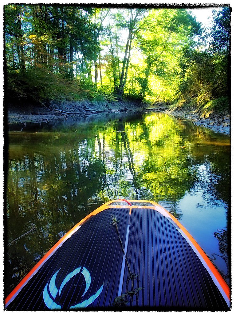
About Pumgustuck
Pumgustuck is a lesser-known natural feature located in Maine. Specific details about this location, including its exact characteristics and prominence, are not widely documented. It may be a small waterfall, stream, or other natural landmark.
The Setting
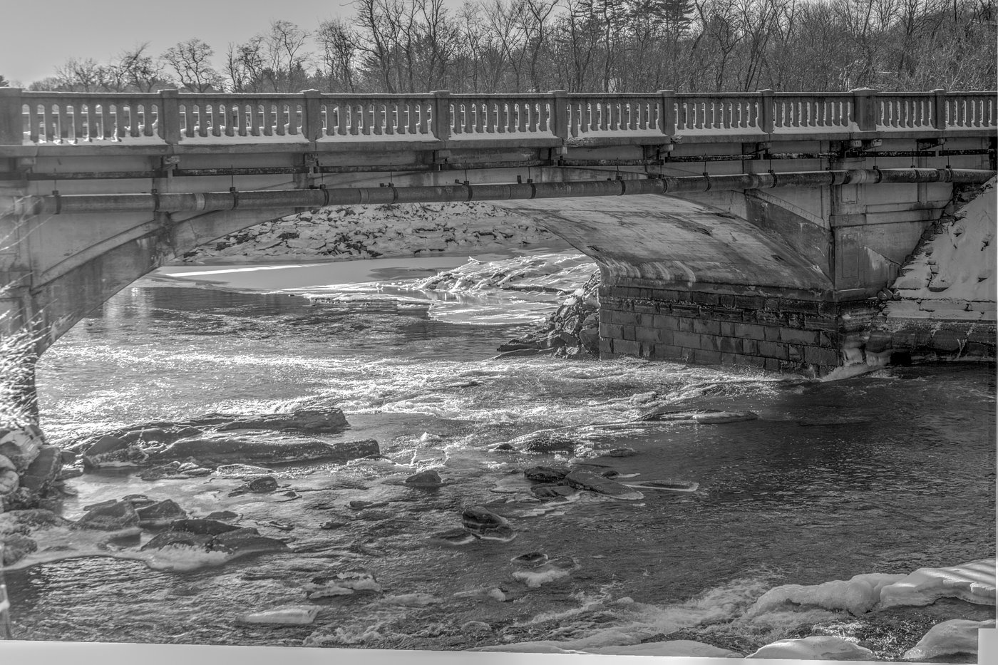
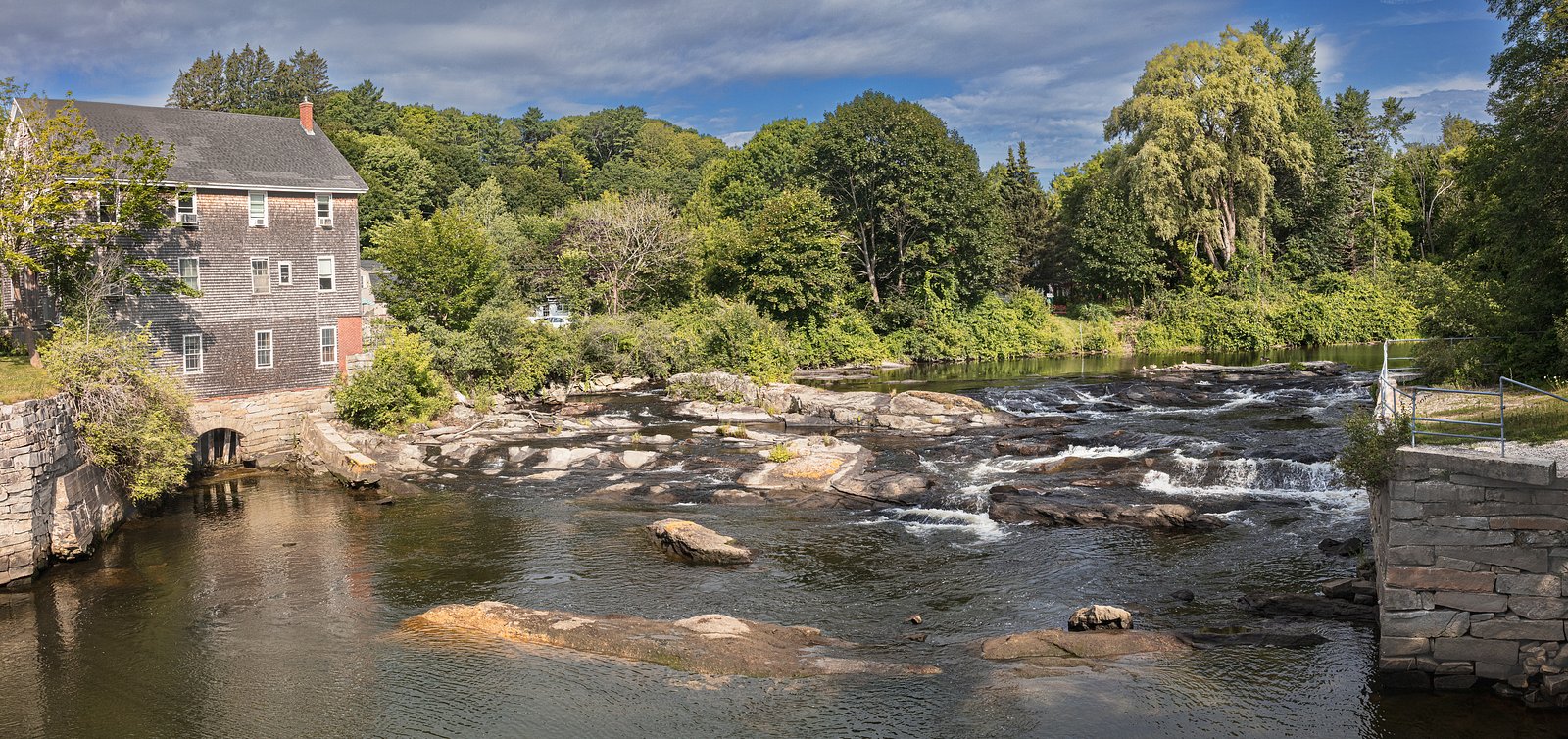
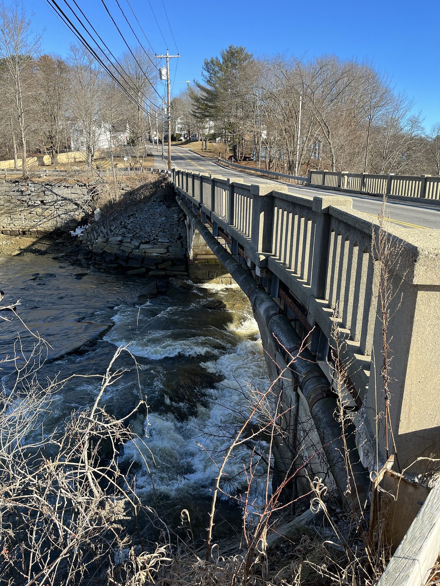
Pumgustuck sits at 3 feet along the Royal River, in the coastal lowlands of Maine.
Trail & Hike Details
The Approach
The moderate 2.4-mile out-and-back trail gains 350 feet of elevation on the way to the falls.
Trail Description
There is no detailed trail description available for Pumgustuck. It is unclear if there is an established trail leading to this location.
What to Expect
Due to limited information, visitors should expect a natural setting that may include forested areas, streams, or small waterfalls. Conditions may vary depending on the season.
Accessibility
The trail is not wheelchair accessible. Uneven terrain and elevation changes require steady footing.
Frequently Asked Questions
🐶 Are Dogs Allowed at Pumgustuck?
❌ Dogs are not allowed
Are There Any Fees or Permits Required?
🆖 No fees required
🏊 Is There Swimming at Pumgustuck?
❌ Swimming is not allowed
When to Visit
The best time to visit is likely during spring, summer, or fall when weather conditions are more favorable. Winter visits may be possible but could present challenges due to snow or ice.
Seasonal Access
The best time to visit is Spring, Summer, Fall, and Winter.
Safety Information
Visitors should be prepared for uneven terrain and potential hazards such as slippery rocks or dense vegetation. Always inform someone of your plans before visiting remote areas.
Current Water Conditions
147 ft³/s
Current discharge — how much water is flowing
Higher than usual for this time of year
Based on 61 years of record
1.53 ft
Water depth at gauge
7-Day Discharge Trend
What does this mean for your visit?
The water is flowing higher than usual for this time of year.
About This Gauge
7-Day Flow Outlook
Based on the USGS gauge Royal River at Yarmouth, Maine (0 km away).
Today
Moderate
171 cfs
6/10Tomorrow
Moderate
167 cfs
8/10Sun
Moderate
158 cfs
6/10Mon
Moderate
151 cfs
9/10Tue
Moderate
138 cfs
6/10Wed
Moderate
145 cfs
6/10Thu
Strong
164 cfs
7/10Best window: Mon — moderate flow, mostly sunny (trip score 9/10).
Best time of year: this gauge typically runs highest from early March to mid May, peaking in April.
How we calculate this
This is a transparent outlook, not a precise forecast. We take the waterfall's current flow strength (how it ranks against its historical normal for today, from the nearest USGS stream gauge), carry that ranking forward along the gauge's seasonal curve, and nudge it for forecast rain. Confidence is highest for the next day or two and falls further out. Always check official conditions and your own judgment before visiting — high flows can be dangerous.
Know when to go.
Get a free email alert when waterfalls near Cumberland Center hit peak flow. We only send when conditions are worth the trip — no weekly newsletters, no spam.
Weather Forecast
Location & Access
Getting There
The exact location and directions to Pumgustuck are unclear. It is recommended to consult local resources or guides for more precise information.
Get Directions on Google MapsParking
Parking availability is unknown. Visitors should plan ahead and check with local authorities or nearby landmarks for parking options.
Elevation
3 feet above sea level
Coordinates
43.798920° N, -70.178490° W
Visitor Tips & Gear
Research the area thoroughly before visiting. Bring a map or GPS device, as the location may not be well-marked. Check with local authorities for any updates or restrictions.
As an Amazon Associate, we earn from qualifying purchases.
With 2.4 miles and 350 ft of elevation gain, sturdy boots and trekking poles will help on this moderate trail. Icy conditions are common in winter — traction cleats are a smart addition.

Columbia Watertight II Rain Jacket
Packs into its own pocket, seam-sealed, and keeps you dry from spray and surprise rain.

Polarized Sunglasses (Knockaround)
Cuts glare off the water so you actually see the falls — and your photos turn out better too.

Earth Pak Waterproof Dry Bag
Keeps your phone and gear dry when waterfall mist soaks everything else.

Waterproof Phone Pouch (AiRunTech)
Cheap insurance — take photos right next to the falls without killing your phone.

Timberland Euro Sprint Mid Waterproof
Trusted waterproof boot with premium leather and grippy rubber sole — reliable on rocky, wet trails.

TrailBuddy Trekking Poles
Lightweight aluminum, cork grips, and flip-locks that actually hold — a best-seller for good reason.
Where to Stay

Best Western - Freeport Inn

The Harraseeket Inn & Event House Freeport Downtown

Casco Bay Inn

Hilton Garden Inn Freeport Downtown
Browse vacation cabins and private rentals nearby
Unique outdoor stays — tents, yurts, and treehouses
Rent a campervan or RV for your waterfall road trip
Some links are affiliate links. We may earn a commission at no extra cost to you.
Additional Information
Nearby Attractions
Nearby attractions are not well-documented. Visitors may explore other natural areas or landmarks in Maine.
Wildlife
Wildlife in the area may include typical Maine species such as deer, birds, and small mammals. Visitors should be cautious of ticks and other insects.
Cities near Pumgustuck
Nearby Waterfalls
Writing about Pumgustuck? Embed this waterfall on your site for free.