Presumpscot Falls
By Armen Suny · Last verified May 2026
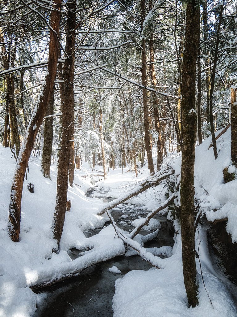
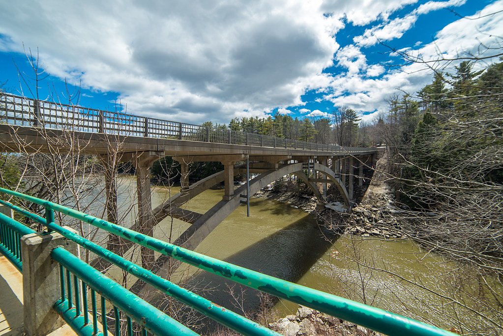
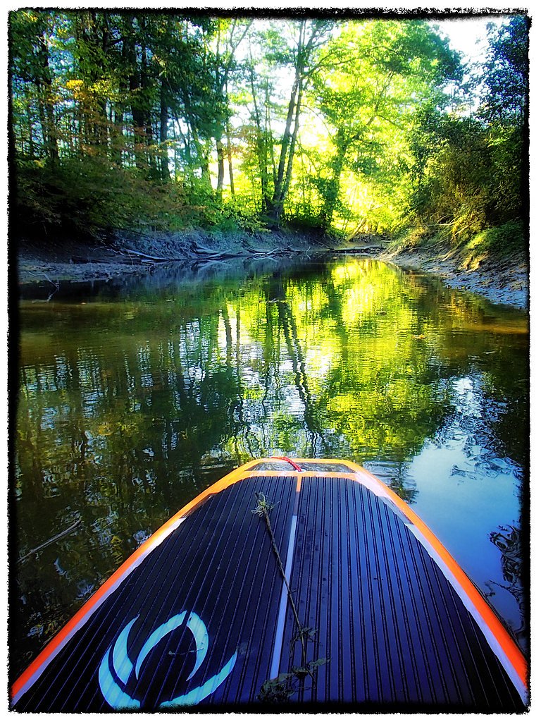
Photo Credits (3)
Difficulty
Moderate
Trail Length
2.4 miles
Trail Type
Out And Back
Elevation Gain
350 ft
About Presumpscot Falls
Presumpscot Falls is a small but historically significant waterfall located on the Presumpscot River in Maine. It is known for its scenic beauty and its role in the area's industrial history, as it was once the site of a dam and mill operations.
Trail & Hike Details
The Approach
The moderate 2.4-mile out and back trail gains 350 feet of elevation on the way to the falls.
Trail Description
There is limited information about specific trails leading to Presumpscot Falls. Some access points may involve short walks or hikes, while others may provide direct views of the falls from nearby roads or parking areas.
What to Expect
Visitors can expect to see a small but picturesque waterfall surrounded by natural scenery. The area may also feature remnants of historical structures, such as old mill foundations.
Accessibility
The trail is not wheelchair accessible. Uneven terrain and elevation changes require steady footing.
Frequently Asked Questions
🐶 Are Dogs Allowed at Presumpscot Falls?
❌ Dogs are not allowed
Are There Any Fees or Permits Required?
🆖 No fees required
🏊 Is There Swimming at Presumpscot Falls?
❌ Swimming is not allowed
When to Visit
Spring and early summer are ideal times to visit, as the water flow is typically higher due to snowmelt and seasonal rains.
Seasonal Access
The best time to visit is Spring, Summer, and Fall. Winter access may be limited.
Safety Information
Exercise caution near the water, as the river's current can be strong. Be mindful of slippery rocks and uneven terrain.
Current Water Conditions
947 ft³/s
Current discharge — how much water is flowing
Higher than usual for this time of year
Based on 14 years of record
4.36 ft
Water depth at gauge
7-Day Discharge Trend
What does this mean for your visit?
The water is flowing higher than usual for this time of year.
About This Gauge
7-Day Flow Outlook
Based on the USGS gauge Presumpscot River near West Falmouth, Maine (3 km away).
Today
Strong
1080 cfs
7/10Tomorrow
Moderate
993 cfs
8/10Sun
Strong
1091 cfs
7/10Mon
Moderate
1144 cfs
9/10Tue
Moderate
1108 cfs
6/10Wed
Strong
1125 cfs
8/10Thu
Strong
768 cfs
7/10Best window: Mon — moderate flow, mostly sunny (trip score 9/10).
Best time of year: this gauge typically runs highest from early March to late April, peaking in March.
How we calculate this
This is a transparent outlook, not a precise forecast. We take the waterfall's current flow strength (how it ranks against its historical normal for today, from the nearest USGS stream gauge), carry that ranking forward along the gauge's seasonal curve, and nudge it for forecast rain. Confidence is highest for the next day or two and falls further out. Always check official conditions and your own judgment before visiting — high flows can be dangerous.
Know when to go.
Get a free email alert when waterfalls near Portland hit peak flow. We only send when conditions are worth the trip — no weekly newsletters, no spam.
Weather Forecast
Location & Access
Getting There
Presumpscot Falls is located near the city of Westbrook, Maine. It can be accessed via local roads, and the falls are situated along the Presumpscot River. Specific directions may vary depending on the chosen access point.
Get Directions on Google MapsParking
Parking availability is limited and may vary depending on the access point. Visitors should look for nearby public parking areas or trailhead parking.
Hours
Elevation
0 feet above sea level
Coordinates
43.718136° N, -70.268938° W
Visitor Tips & Gear
Wear sturdy footwear if planning to explore trails near the falls. Check local conditions before visiting, as access may vary depending on weather or maintenance.
As an Amazon Associate, we earn from qualifying purchases.
With 2.4 miles and 350 ft of elevation gain, sturdy boots and trekking poles will help on this moderate trail. Sun exposure on the trail makes good sun protection a must in summer.

Polarized Sunglasses (Knockaround)
Cuts glare off the water so you actually see the falls — and your photos turn out better too.

Columbia Watertight II Rain Jacket
Packs into its own pocket, seam-sealed, and keeps you dry from spray and surprise rain.

Earth Pak Waterproof Dry Bag
Keeps your phone and gear dry when waterfall mist soaks everything else.

Waterproof Phone Pouch (AiRunTech)
Cheap insurance — take photos right next to the falls without killing your phone.

Timberland Euro Sprint Mid Waterproof
Trusted waterproof boot with premium leather and grippy rubber sole — reliable on rocky, wet trails.

TrailBuddy Trekking Poles
Lightweight aluminum, cork grips, and flip-locks that actually hold — a best-seller for good reason.
Where to Stay

Comfort Inn South Portland Airport

Home2 Suites By Hilton Portland Airport

DoubleTree by Hilton Portland, ME

Hilton Garden Inn Portland Airport
Browse vacation cabins and private rentals nearby
Unique outdoor stays — tents, yurts, and treehouses
Rent a campervan or RV for your waterfall road trip
Some links are affiliate links. We may earn a commission at no extra cost to you.
Additional Information
Nearby Attractions
Nearby attractions include the city of Westbrook, local parks, and other scenic spots along the Presumpscot River.
Wildlife
The area around the falls may feature common Maine wildlife, such as birds, small mammals, and aquatic species.
Cities near Presumpscot Falls
Nearby Waterfalls

Writing about Presumpscot Falls? Embed this waterfall on your site for free.