Difficulty
Moderate
Trail Length
2.4 miles
Trail Type
Out And Back
Elevation Gain
350 ft
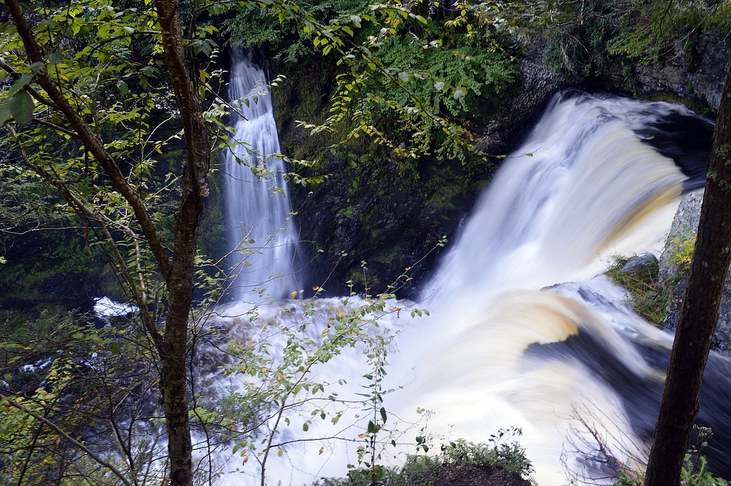
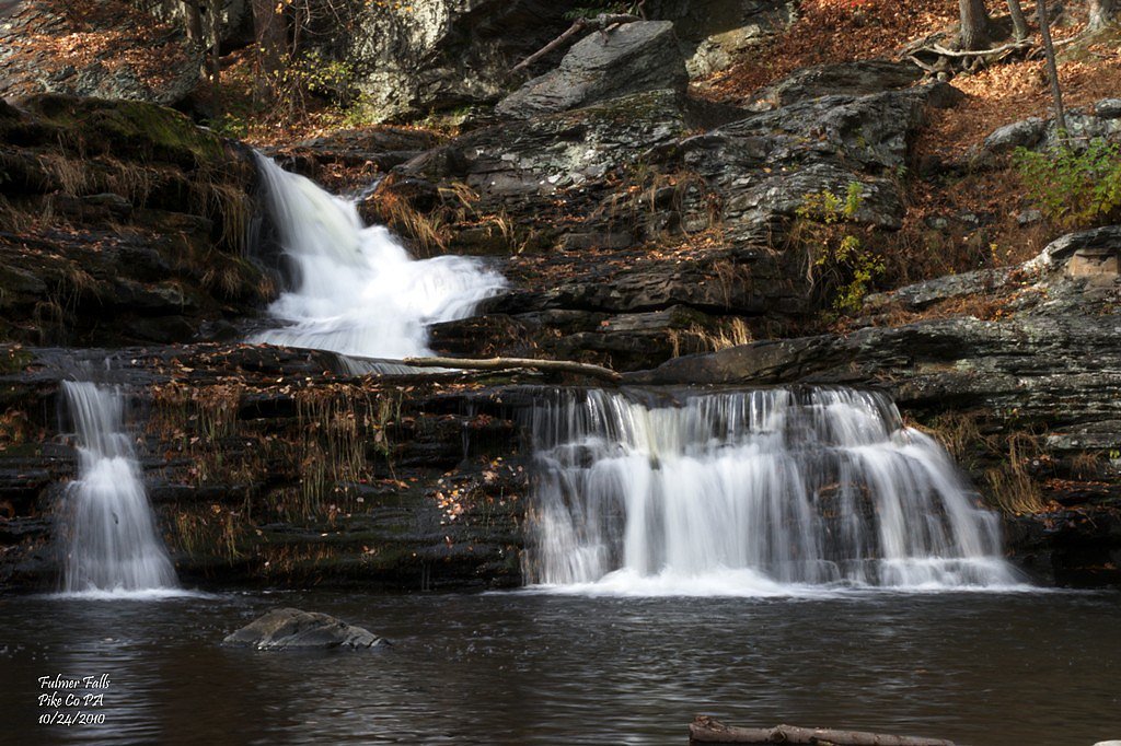
About Pinchot Falls
Pinchot Falls is a small, picturesque cascade tucked into a pocket of lush forest in Pennsylvania. The falls offer a peaceful, photogenic setting for hikers and nature lovers looking for quiet solitude among ferns and hardwoods. Though modest in size, the slide and pool at the base make for a rewarding destination after a short trek. The falls sit within the privately owned Milford Experimental Forest, a designated forest research unit managed by a nonprofit organization (NGO). Because the site is relatively remote and framed by mature forest, visits feel pleasantly tucked away — ideal for birdwatching, short nature breaks, and low-key photography outings.
The Setting
Pinchot Falls sits at 659 feet within Milford Experimental Forest, fed by the Delaware River, in the foothills of Pennsylvania.
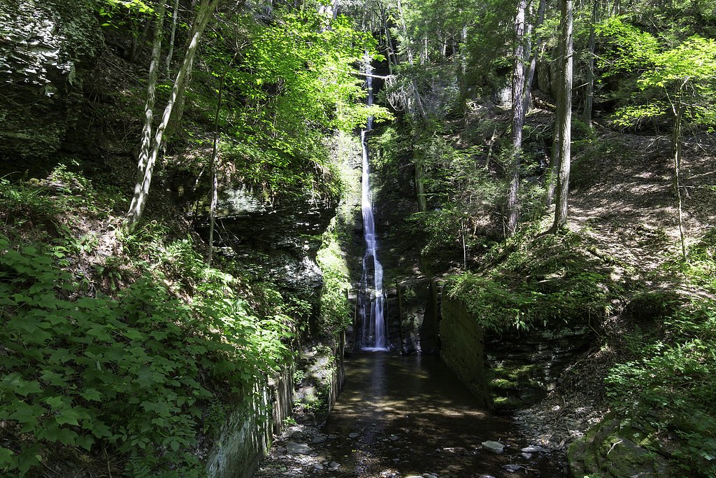
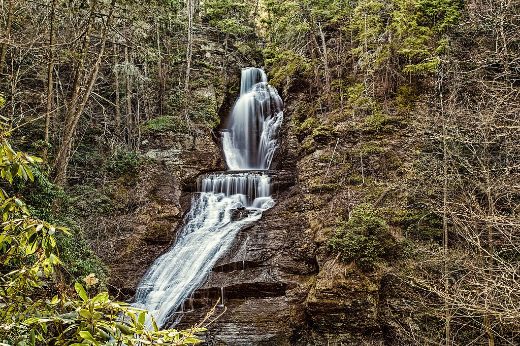
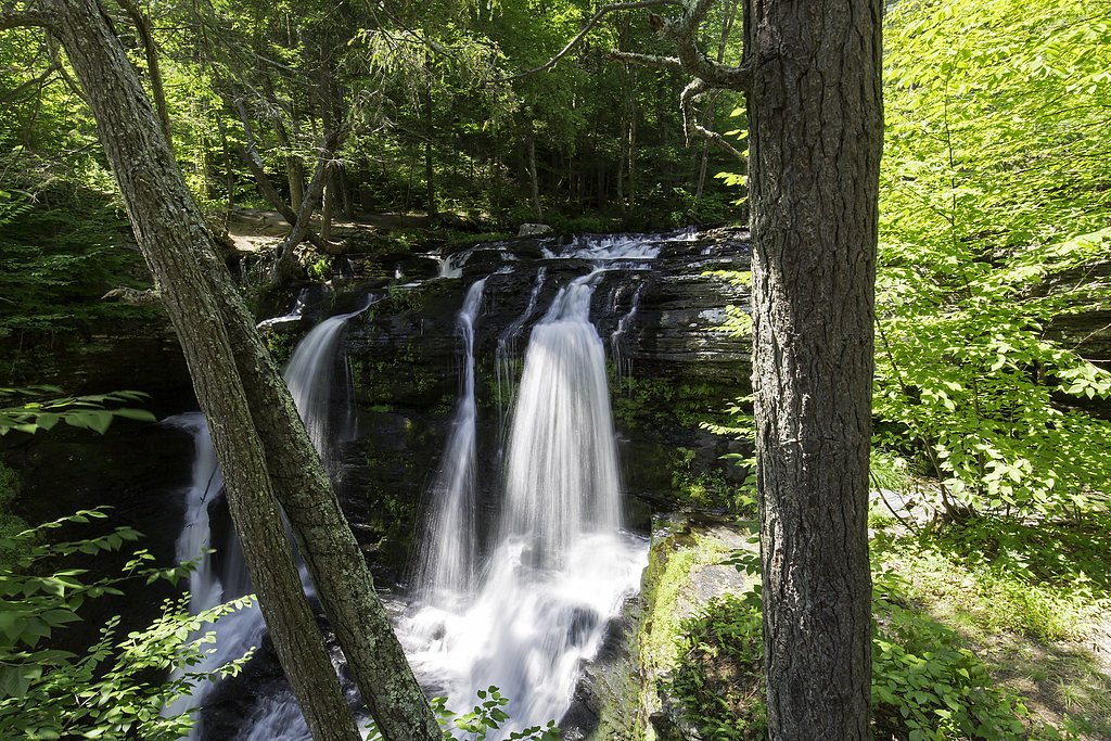
Nearby Falls Worth Visiting
Raymondskill Falls, the tallest waterfall in Pennsylvania at 150 feet, lies 2.9 miles to the southwest. Also nearby: Dingmans Falls (130 ft, 7.6 mi) and Silverthread Falls (80 ft, 7.5 mi).
Trail & Hike Details
The Approach
The moderate 2.4-mile out and back trail gains 350 feet of elevation on the way to the falls.
Trail Description
The trail to Pinchot Falls is a 2.4-mile out-and-back with roughly 350 feet of elevation gain and is rated moderate. The routed path travels through forested terrain and can be uneven in places, with short sections of moderate grade; hikers should expect natural tread rather than paved surfaces. Overall it’s a relatively short hike that rewards effort with the secluded waterfall at the end.
What to Expect
Dogs are welcome.
Accessibility
The trail is not wheelchair accessible. Uneven terrain and elevation changes require steady footing.
Frequently Asked Questions
🐶 Are Dogs Allowed at Pinchot Falls?
✅ Dogs are allowed
Are There Any Fees or Permits Required?
🆖 No fees required
🏊 Is There Swimming at Pinchot Falls?
❌ Swimming is not allowed
When to Visit
Spring and early summer are ideal times to visit, as the waterfall flow is typically stronger due to seasonal rainfall.
Seasonal Access
The best time to visit is Spring, Summer, and Fall. Winter access may be limited.
Safety Information
Visitors should exercise caution on uneven trails and be aware of slippery rocks near the waterfall. Always stay on marked trails and avoid venturing too close to the edge of the falls.
Current Water Conditions
1,980 ft³/s
Current discharge — how much water is flowing
About average for this time of year
Based on 86 years of record
5.08 ft
Water depth at gauge
78°F
ComfortablePleasant for swimming
7-Day Discharge Trend
What does this mean for your visit?
Flow is about average for this time of year. The water is a comfortable 78 degrees F, pleasant for swimming. Expect crystal clear visibility and excellent dissolved oxygen levels. PH is normal at 8.2 and mineral content is typical.
Water Quality
Dissolved Oxygen
ExcellentSupports aquatic life
pH
NormalWithin healthy range (6.5-8.5)
Water Clarity
Crystal clearExcellent visibility
Conductance
Dissolved minerals in the water
About This Gauge
7-Day Flow Outlook
Based on the USGS gauge Delaware River at Montague NJ (3 km away).
Today
Barely Flowing
1980 cfs
4/10Tomorrow
Low
2368 cfs
3/10Thu
Barely Flowing
2255 cfs
4/10Fri
Low
2240 cfs
3/10Sat
Low
2098 cfs
3/10Sun
Low
1953 cfs
3/10Mon
Low
2179 cfs
3/10Best window: Today — barely flowing flow, patchy fog then mostly sunny (trip score 4/10).
Best time of year: this gauge typically runs highest from late February to late May, peaking in April.
How we calculate this
This is a transparent outlook, not a precise forecast. We take the waterfall's current flow strength (how it ranks against its historical normal for today, from the nearest USGS stream gauge), carry that ranking forward along the gauge's seasonal curve, and nudge it for forecast rain. Confidence is highest for the next day or two and falls further out. Always check official conditions and your own judgment before visiting — high flows can be dangerous.
Know when to go.
Get a free email alert when waterfalls near Milford hit peak flow. We only send when conditions are worth the trip — no weekly newsletters, no spam.
Weather Forecast
Location & Access
Getting There
Pinchot Falls is located in the Pinchot State Forest in Pennsylvania. Access typically involves navigating forest roads, and visitors should check local maps or GPS for the most accurate directions.
Get Directions on Google MapsParking
Parking may be available at nearby trailheads or along forest roads, but specific parking details are not well-documented.
Hours
Elevation
659 feet above sea level
Coordinates
41.327871° N, -74.822667° W
Land Management
Managed by NGO
Visitor Tips & Gear
Wear sturdy footwear as the trail may be uneven. Bring insect repellent during warmer months, and check weather conditions before visiting. Cell service may be limited in the area.
As an Amazon Associate, we earn from qualifying purchases.
With 2.4 miles and 350 ft of elevation gain, sturdy boots and trekking poles will help on this moderate trail. Sun exposure on the trail makes good sun protection a must in summer.

Columbia Watertight II Rain Jacket
Packs into its own pocket, seam-sealed, and keeps you dry from spray and surprise rain.

Earth Pak Waterproof Dry Bag
Keeps your phone and gear dry when waterfall mist soaks everything else.

Waterproof Phone Pouch (AiRunTech)
Cheap insurance — take photos right next to the falls without killing your phone.

Timberland Euro Sprint Mid Waterproof
Trusted waterproof boot with premium leather and grippy rubber sole — reliable on rocky, wet trails.

TrailBuddy Trekking Poles
Lightweight aluminum, cork grips, and flip-locks that actually hold — a best-seller for good reason.

Polarized Sunglasses (Knockaround)
Cuts glare off the water so you actually see the falls — and your photos turn out better too.
Where to Stay

Myer Country Motel

Pocono Mountain Villas MOD Collection by Sonesta

Serenity Falls - Stylish 4Bdr Mountain Retreat, Hot Tub, Pool

Hampton Inn Matamoras
Browse vacation cabins and private rentals nearby
Unique outdoor stays — tents, yurts, and treehouses
Rent a campervan or RV for your waterfall road trip
Some links are affiliate links. We may earn a commission at no extra cost to you.
Nearby Campground
Alosa Campsites
18.7 miles away · 6 sites
Overview The Alosa Campsites are boat-in only sites located on the west (Pennsylvanian) shore of the Delaware River near Bushkill, Pennsylvania. The side of the river with the campsites will be on your right while traveling downstream. This section of the river offers unspoiled views, excellent boating, fishing, and birding opportunities within the Delaware Water Gap National Recreation Area and the Middle Delaware National Scenic and Recreational River. These reservation-only campsites are avail
Book on Recreation.govAdditional Information
Nearby Attractions
Other attractions in Pinchot State Forest include hiking trails, scenic overlooks, and opportunities for birdwatching.
Wildlife
The area is home to various wildlife, including deer, birds, and small mammals. Visitors should be cautious of ticks and other insects.
Cities near Pinchot Falls
Nearby Waterfalls
Writing about Pinchot Falls? Embed this waterfall on your site for free.