Pearsons Falls
North Carolina • 90 ft
By Armen Suny · Last verified Mar 2026
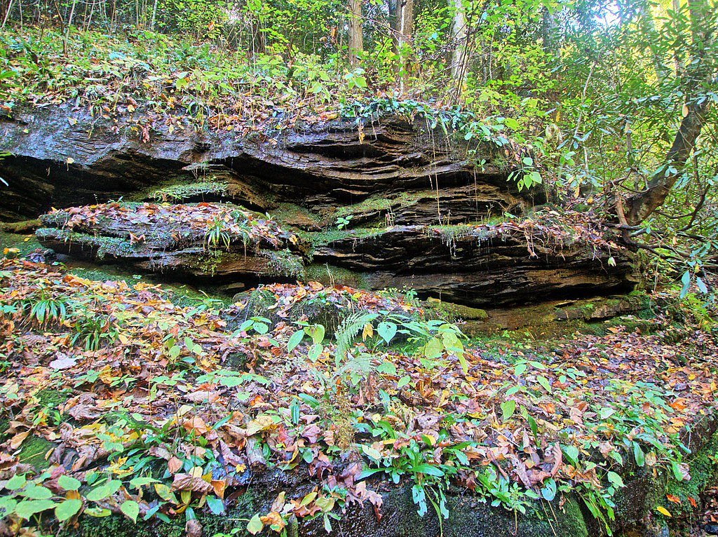
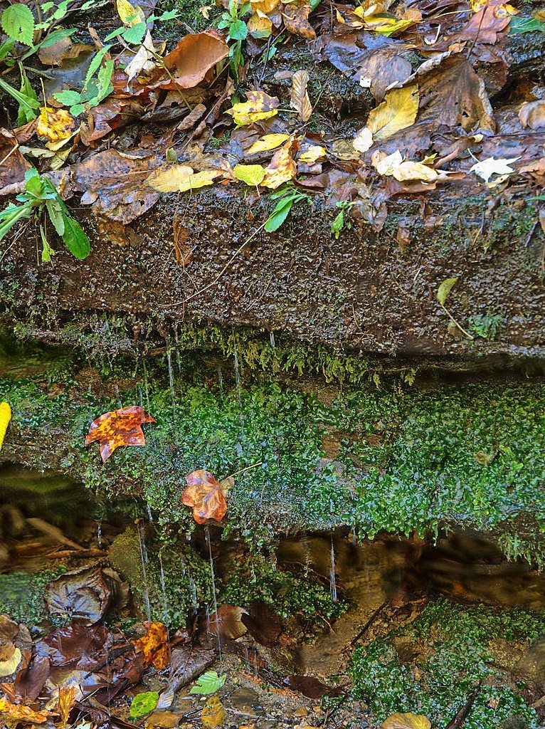
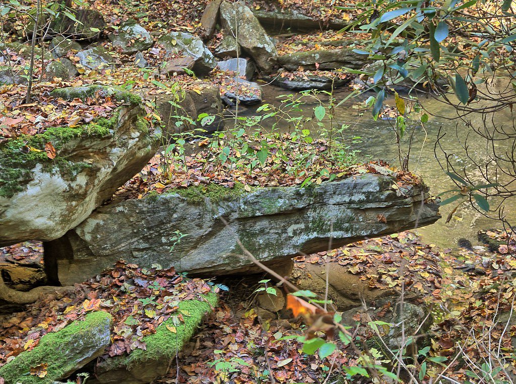
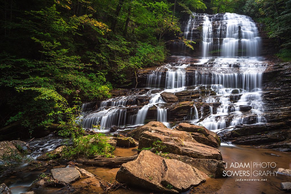

Photo Credits (5)
Difficulty
Easy
Trail Length
0.3 miles
Trail Type
Out And Back
Elevation Gain
120 ft
About Pearsons Falls
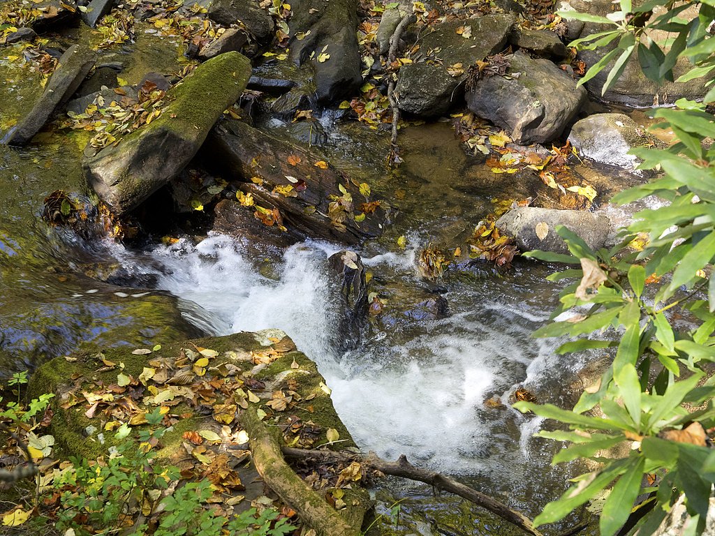
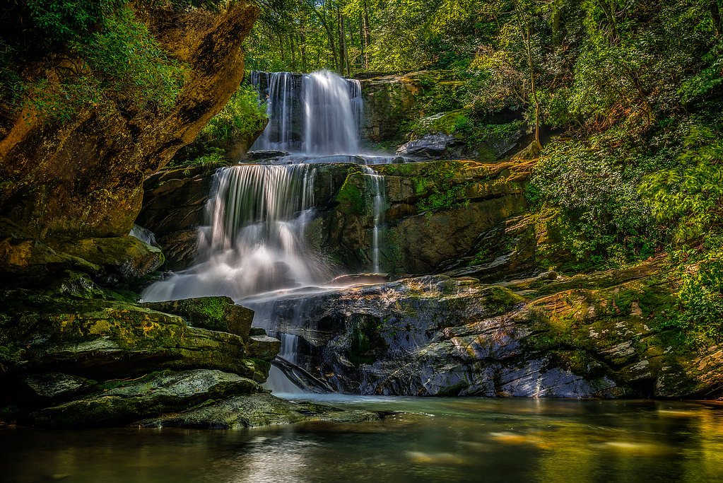
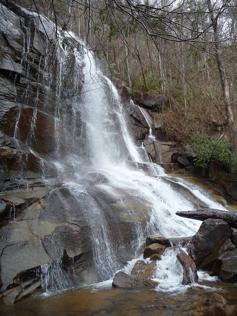
Pearson's Falls is a striking 90-foot cascade tucked into the foothills of western North Carolina, conveniently located off Highway 176 between Tryon and Saluda. The falls sit on private land within the Pearsons Falls Glen Registered Heritage Area, a 268-acre wildlife and bird sanctuary of native forest, granite outcrops and spring-fed streams. A short, scenic approach leads to a narrow gorge where the waterfall tumbles into a rocky basin — a favorite spot for photographers and nature lovers alike. Beyond the falls themselves, the preserve is botanically rich: Wikipedia notes more than 200 species of rare wildflowers and native plants scattered through the woods, making visits rewarding across seasons. The setting feels intimate and protected, ideal for casual strolls, birdwatching, and short family outings while soaking in the unique foothills landscape.
The Setting
Pearsons Falls sits at 1,699 feet within Pearsons Falls Glen Registered Heritage Area, fed by the French Broad River, in the hills of North Carolina. The falls drop 90 feet.
Height: 90 feet
Trail & Hike Details
The Approach
The easy 0.25-mile out-and-back trail gains 120 feet of elevation on the way to the falls.
Trail Description
The trail to Pearson's Falls is a short, well-maintained 0.25-mile out-and-back that follows a creek through mature forest to the 90-foot waterfall. Total elevation gain is about 120 feet; the route is generally rated easy but has a short, steady climb (Wikipedia also describes it as a moderate 1/4-mile trail). The path is suitable for most visitors, including families, and features gentle inclines and natural tread through the preserve.
What to Expect
The falls cascade 90 feet. Dogs are welcome.
Accessibility
The trail is short and relatively flat, but the surface may be uneven. Contact the managing agency for accessibility details.
Frequently Asked Questions
🐶 Are Dogs Allowed at Pearsons Falls?
✅ Dogs are allowed
Are There Any Fees or Permits Required?
🤑 Fee: $5.00
🏊 Is There Swimming at Pearsons Falls?
❌ Swimming is not allowed
When to Visit
Spring is ideal for viewing wildflowers, while summer and fall offer lush greenery and vibrant foliage. Winter visits may provide a quieter experience, but trail conditions can vary.
Seasonal Access
The best time to visit is Spring, Summer, and Fall. Winter access may be limited.
Safety Information
The trail may be slippery after rain, so exercise caution. Stay on designated paths to avoid damaging the ecosystem and for personal safety.
Current Water Conditions
Based on a USGS gauge 17.3 miles away
350 ft³/s
Current discharge — how much water is flowing
Much lower than usual for this time of year
Based on 105 years of record
5.15 ft
Water depth at gauge
7-Day Discharge Trend
What does this mean for your visit?
Flow is well below normal for this time of year, so the waterfall may be a trickle.
About This Gauge
This gauge is on a regional waterway. Conditions at the falls may differ, especially after local rain.
7-Day Flow Outlook
Based on the USGS gauge FRENCH BROAD RIVER AT BLANTYRE, NC (28 km away).
Today
Moderate
398 cfs
4/10Tomorrow
Low
368 cfs
6/10Wed
Low
334 cfs
6/10Thu
Low
339 cfs
6/10Fri
Moderate
373 cfs
4/10Sat
Moderate
380 cfs
4/10Sun
Moderate
379 cfs
4/10Best window: Tomorrow — low flow, mostly sunny (trip score 6/10).
Best time of year: this gauge typically runs highest from mid February to late April, peaking in March.
How we calculate this
This is a transparent outlook, not a precise forecast. We take the waterfall's current flow strength (how it ranks against its historical normal for today, from the nearest USGS stream gauge), carry that ranking forward along the gauge's seasonal curve, and nudge it for forecast rain. Confidence is highest for the next day or two and falls further out. Always check official conditions and your own judgment before visiting — high flows can be dangerous.
Know when to go.
Get a free email alert when waterfalls near Saluda hit peak flow. We only send when conditions are worth the trip — no weekly newsletters, no spam.
Weather Forecast
Location & Access
Getting There
Pearson's Falls is located off US-176 between Tryon and Saluda, North Carolina. The entrance is well-marked, and visitors can follow a short drive to the parking area.
Get Directions on Google MapsParking
A designated parking area is available near the entrance to the preserve. Parking is typically sufficient, but it may fill up during peak seasons.
Elevation
1,699 feet above sea level
Coordinates
35.215131° N, -82.335912° W
Land Management
Managed by UNK
Visitor Tips & Gear
Arrive early during weekends or peak seasons to secure parking. Wear sturdy shoes as the trail may be damp or slippery in some areas. Bring a camera to capture the scenic beauty.
As an Amazon Associate, we earn from qualifying purchases.
For this easy 0.3 miles trail, lightweight trail shoes and a water bottle are usually sufficient. Sun exposure on the trail makes good sun protection a must in summer.

Polarized Sunglasses (Knockaround)
Cuts glare off the water so you actually see the falls — and your photos turn out better too.

Columbia Watertight II Rain Jacket
Packs into its own pocket, seam-sealed, and keeps you dry from spray and surprise rain.

Earth Pak Waterproof Dry Bag
Keeps your phone and gear dry when waterfall mist soaks everything else.

Waterproof Phone Pouch (AiRunTech)
Cheap insurance — take photos right next to the falls without killing your phone.

JOBY GorillaPod Starter Kit
Wraps around railings and rocks for long-exposure waterfall shots — no flat surface needed.

Osprey Daylite Daypack
Light, organized, and just the right size for a day hike — fits water, snacks, and layers.
Where to Stay

Golden Dawn at Saluda Mountain Retreats

Green River Lodge

Orchard Inn

Home2 Suites By Hilton Hendersonville
Browse vacation cabins and private rentals nearby
Unique outdoor stays — tents, yurts, and treehouses
Rent a campervan or RV for your waterfall road trip
Some links are affiliate links. We may earn a commission at no extra cost to you.
Nearby Campground
SYCAMORE FLATS PICNIC SHELTER
21.5 miles away · 1 sites
Overview Sycamore Flats Picnic Shelter is located along the Davidson River on the Pisgah National Forest. This picnic area was named for the sycamore trees which line the banks of the river.The shelter is available on a first come, first served basis from mid-November to April 15th. Reservations are available April 16th through mid-November. Some amenities may not be available during the off-season. This is a popular destination with limited parking, please plan accordingly.Recreation Sycamore Fl
Book on Recreation.govNearby Hot Springs
Hot springs near Saluda, North Carolina

Looking for a soak after your hike? Explore more hot springs near Saluda, North Carolina on SoakingSprings.
Explore North Carolina springsAdditional Information
Nearby Attractions
Nearby attractions include the town of Saluda, the Green River Gorge, and the Tryon International Equestrian Center.
Wildlife
The area is home to various bird species, small mammals, and a diverse range of insects. Visitors may also spot salamanders near the creek.
Cities near Pearsons Falls
Nearby Waterfalls
Writing about Pearsons Falls? Embed this waterfall on your site for free.