Photo Credits (4)
Difficulty
Moderate
Trail Length
2.4 miles
Trail Type
Out And Back
Elevation Gain
350 ft
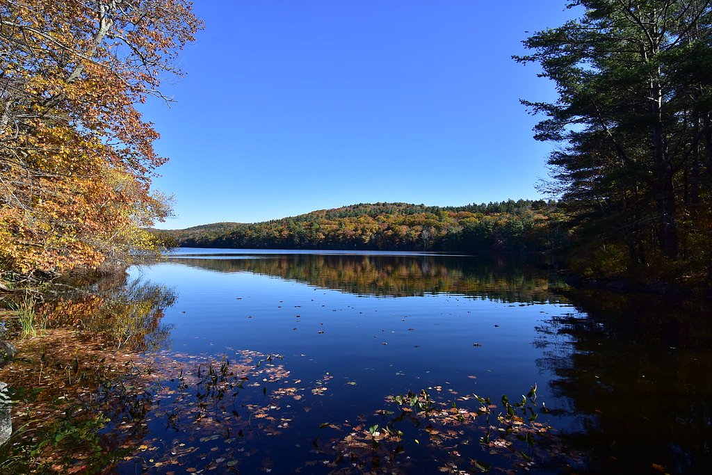
About Otis Falls
Otis Falls is a small, picturesque cascade tucked into the forested hills of Otis, Massachusetts, within Tolland State Forest. Managed by SPR and designated as an SRMA, the falls sit along a gentle stream and offer a peaceful spot for photographers, birdwatchers, or anyone looking for a short nature escape amid mixed hardwoods. Access is along an approximately 2.4-mile out-and-back route that climbs about 350 feet and is rated moderate. The route follows natural footpaths through the forest and may include uneven or lightly marked sections, so come prepared with sturdy shoes and a map or GPS for a relaxed, scenic outing.
The Setting
Otis Falls sits at 1,325 feet within Tolland State Forest, fed by the West Branch Farmington River, in the foothills of Massachusetts.
Trail & Hike Details
The Approach
The moderate 2.4-mile out-and-back trail gains 350 feet of elevation on the way to the falls.
Trail Description
Distance: ~2.4 miles (out-and-back) Elevation gain: ~350 feet Difficulty: Moderate Trail type: Out-and-back Surface/conditions: Natural forest tread; trail may be uneven and contain unmarked or lightly signed sections Grade/class: Variable; specific USFS surface/grade/class data not available for this route Notes: Expect typical singletrack and footpath conditions through Tolland State Forest—sturdy footwear and basic navigation are recommended.
What to Expect
Expect a peaceful and quiet natural setting with a small waterfall surrounded by forest. The area may not have developed facilities or clear signage.
Accessibility
The trail is not wheelchair accessible. Uneven terrain and elevation changes require steady footing.
Frequently Asked Questions
🐶 Are Dogs Allowed at Otis Falls?
❌ Dogs are not allowed
Are There Any Fees or Permits Required?
🆖 No fees required
🏊 Is There Swimming at Otis Falls?
❌ Swimming is not allowed
When to Visit
Spring and early summer are ideal times to visit, as the water flow is typically stronger due to snowmelt and rainfall.
Seasonal Access
The best time to visit is Spring, Summer, and Fall. Winter access may be limited.
Safety Information
The trail and surrounding area may be uneven or slippery, especially after rain. Visitors should exercise caution and avoid visiting during inclement weather.
Current Water Conditions
26 ft³/s
Current discharge — how much water is flowing
Lower than usual for this time of year
Based on 113 years of record
2.32 ft
Water depth at gauge
7-Day Discharge Trend
What does this mean for your visit?
Flow is lower than usual for this time of year.
About This Gauge
This gauge is on a nearby waterway and may not reflect exact conditions at the falls.
7-Day Flow Outlook
Based on the USGS gauge WEST BRANCH FARMINGTON RIVER NEAR NEW BOSTON, MA (9 km away).
Today
Moderate
26 cfs
8/10Tomorrow
Moderate
29 cfs
4/10Wed
Moderate
31 cfs
4/10Thu
Moderate
27 cfs
8/10Fri
Moderate
26 cfs
4/10Sat
Moderate
26 cfs
4/10Sun
Moderate
30 cfs
4/10Best window: Today — moderate flow, sunny (trip score 8/10).
Best time of year: this gauge typically runs highest from mid March to early May, peaking in April.
How we calculate this
This is a transparent outlook, not a precise forecast. We take the waterfall's current flow strength (how it ranks against its historical normal for today, from the nearest USGS stream gauge), carry that ranking forward along the gauge's seasonal curve, and nudge it for forecast rain. Confidence is highest for the next day or two and falls further out. Always check official conditions and your own judgment before visiting — high flows can be dangerous.
Know when to go.
Get a free email alert when waterfalls near Riverton hit peak flow. We only send when conditions are worth the trip — no weekly newsletters, no spam.
Weather Forecast
Location & Access
Getting There
Otis Falls is located in Otis, Massachusetts. Specific directions to the falls may vary, as it is not a widely publicized destination. Visitors are encouraged to use GPS or local maps to locate the area.
Get Directions on Google MapsParking
Parking availability is unclear, but visitors may need to park along nearby roads or in designated areas if available.
Elevation
1,325 feet above sea level
Coordinates
42.159813° N, -73.059271° W
Land Management
Managed by SPR
Visitor Tips & Gear
Bring a map or GPS device as the location may not be well-marked. Wear sturdy shoes and be prepared for uneven terrain. Check local conditions before visiting.
As an Amazon Associate, we earn from qualifying purchases.
With 2.4 miles and 350 ft of elevation gain, sturdy boots and trekking poles will help on this moderate trail. Sun exposure on the trail makes good sun protection a must in summer.

Polarized Sunglasses (Knockaround)
Cuts glare off the water so you actually see the falls — and your photos turn out better too.

Columbia Watertight II Rain Jacket
Packs into its own pocket, seam-sealed, and keeps you dry from spray and surprise rain.

Earth Pak Waterproof Dry Bag
Keeps your phone and gear dry when waterfall mist soaks everything else.

Waterproof Phone Pouch (AiRunTech)
Cheap insurance — take photos right next to the falls without killing your phone.

Timberland Euro Sprint Mid Waterproof
Trusted waterproof boot with premium leather and grippy rubber sole — reliable on rocky, wet trails.

TrailBuddy Trekking Poles
Lightweight aluminum, cork grips, and flip-locks that actually hold — a best-seller for good reason.
Where to Stay

Holiday Inn Club Vacations Oak n Spruce Resort in the Berkshires

The Black Swan Lee - Lenox, an Ascend Collection Hotel

Wilder House Berkshires

Courtyard by Marriott Lenox Berkshires
Browse vacation cabins and private rentals nearby
Unique outdoor stays — tents, yurts, and treehouses
Rent a campervan or RV for your waterfall road trip
Some links are affiliate links. We may earn a commission at no extra cost to you.
Nearby Campground
INDIAN HOLLOW
16.5 miles away · 2 sites
Overview With abundant wildlife, lush scenery and waterfront views, Indian Hollow Group Campground, located at the Knightville Dam and Reservoir, offers groups and clubs a recreational oasis.Recreation The rivers and streams at Knightville offer excellent trout fishing, and the river is stocked with trout in both the spring and fall. The surrounding hills provide prime upland game habitat, and the Commonwealth of Massachusetts stocks pheasants for the fall hunting season. Hunting and fishing are
Book on Recreation.govNearby Hot Springs
Hot springs near Riverton, Massachusetts

Lebanon Spring
Lebanon Spring discharges at 72°F at 663 feet elevation in Columbia County, flowing 24 degrees above ambient air temperature ju...
Sand Spring
Sand Spring surfaces at 75°F in Williamstown, Massachusetts — one of the few thermal features in New England. At just 670 feet ...
Looking for a soak after your hike? Explore more hot springs near Riverton, Massachusetts on SoakingSprings.
Explore Massachusetts springsAdditional Information
Nearby Attractions
The town of Otis and nearby areas offer additional hiking trails and scenic spots. Otis Reservoir is a popular destination for outdoor activities.
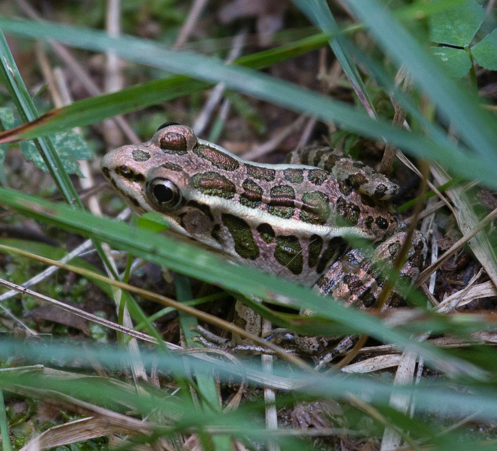
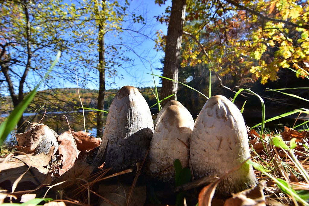
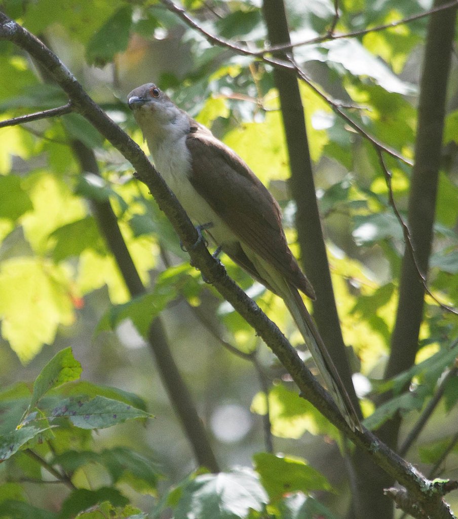
Wildlife
The area may feature local wildlife such as birds, deer, and small mammals. Be cautious and respectful of the natural environment.
Cities near Otis Falls
Nearby Waterfalls

Writing about Otis Falls? Embed this waterfall on your site for free.