


Photo Credits (2)
Difficulty
Moderate
Trail Length
2.4 miles
Trail Type
Out And Back
Elevation Gain
350 ft
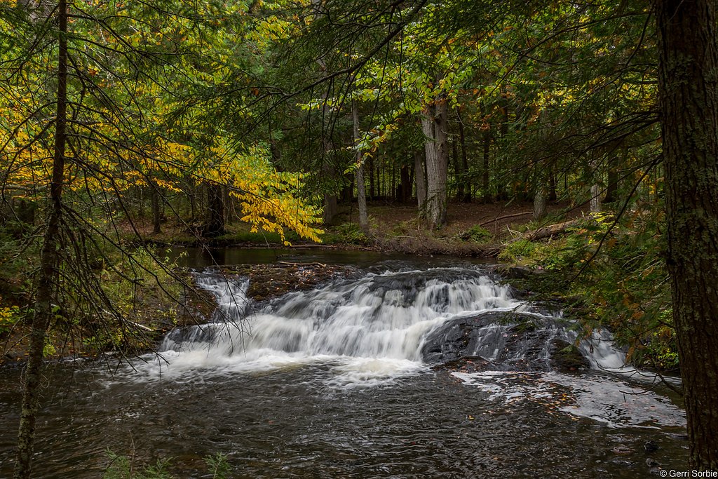
About Onion Falls
Onion Falls is a tucked-away cascade in Michigan’s Upper Peninsula, set within the Ontonagon land unit of the Michigan Wild and Scenic River (WSR) system and managed by the U.S. Forest Service. The falls sit along a small forest stream on land owned by DESG, offering a quiet, secluded experience that changes with the seasons — spring runoff brings the most dramatic flow while late summer can be much gentler. The setting feels remote despite a relatively short approach: dense mixed forest and fern-carpeted slopes frame the plunge, making this a peaceful stop for hikers who enjoy off-the-beaten-path scenery. Because the site is overseen by the USFS, visitors should follow Leave No Trace principles and be prepared for variable trail conditions, especially after rain.
The Setting
Onion Falls sits at 1,099 feet within Ontonagon, Michigan Wild and Scenic River, fed by the Ontonagon River, in the foothills of Michigan.
Trail & Hike Details
The Approach
The moderate 2.4-mile out-and-back trail gains 350 feet of elevation on the way to the falls.
Trail Description
Trail to Onion Falls is an out-and-back route of 2.4 miles with approximately 350 feet of elevation gain and is rated moderate. The available management data do not list a specific USFS trail name or number, nor do they specify formal surface, grade, or trail class; in practice the path winds through forest, can be narrow in places, and tends to be uneven and muddy after wet weather. Hikers can expect a steady but not overly steep climb—good footwear and traction are recommended for the short descent to the falls and the return climb.
What to Expect
Visitors can expect a peaceful and quiet setting with a small but picturesque waterfall. The flow of the falls may vary depending on recent rainfall or snowmelt. Wildlife sightings are possible in the surrounding forest.
Accessibility
The trail is not wheelchair accessible. Uneven terrain and elevation changes require steady footing.
Frequently Asked Questions
🐶 Are Dogs Allowed at Onion Falls?
❌ Dogs are not allowed
Are There Any Fees or Permits Required?
🆖 No fees required
🏊 Is There Swimming at Onion Falls?
❌ Swimming is not allowed
When to Visit
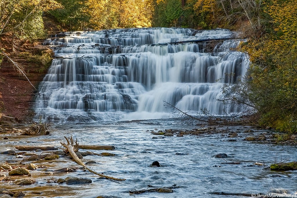
Spring and early summer are ideal for visiting Onion Falls, as the water flow is typically strongest during these seasons. Fall offers beautiful foliage, while winter may provide a unique frozen waterfall experience.
Seasonal Access
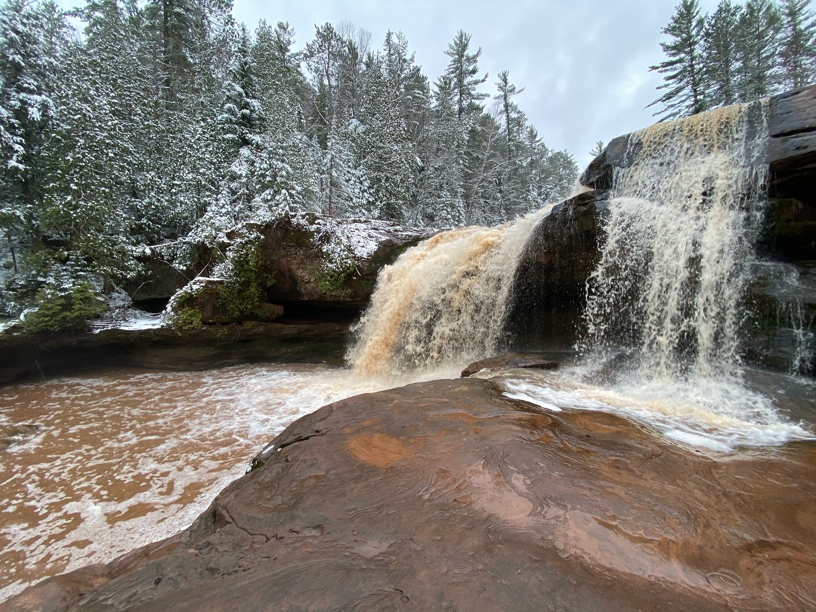
The best time to visit is Spring, Summer, and Fall. Winter access may be limited.
Safety Information
Visitors should exercise caution on wet or muddy trails to avoid slipping. Be aware of wildlife and carry bear spray if hiking in the area. Cell phone reception may be limited.
Current Water Conditions
634 ft³/s
Current discharge — how much water is flowing
Lower than usual for this time of year
Based on 84 years of record
5.55 ft
Water depth at gauge
7-Day Discharge Trend
What does this mean for your visit?
Flow is lower than usual for this time of year.
About This Gauge
This gauge is on a nearby waterway and may not reflect exact conditions at the falls.
7-Day Flow Outlook
Based on the USGS gauge ONTONAGON RIVER NEAR ROCKLAND, MI (24 km away).
Today
Low
729 cfs
3/10Tomorrow
Moderate
773 cfs
4/10Wed
Moderate
773 cfs
4/10Thu
Moderate
773 cfs
4/10Fri
Moderate
773 cfs
4/10Sat
Moderate
773 cfs
4/10Sun
Low
735 cfs
4/10Best window: Tomorrow — moderate flow, chance showers and thunderstorms (trip score 4/10).
How we calculate this
This is a transparent outlook, not a precise forecast. We take the waterfall's current flow strength (how it ranks against its historical normal for today, from the nearest USGS stream gauge), carry that ranking forward along the gauge's seasonal curve, and nudge it for forecast rain. Confidence is highest for the next day or two and falls further out. Always check official conditions and your own judgment before visiting — high flows can be dangerous.
Know when to go.
Get a free email alert when waterfalls near Bruce Crossing hit peak flow. We only send when conditions are worth the trip — no weekly newsletters, no spam.
Weather Forecast
Location & Access
Getting There
Onion Falls is located near the Porcupine Mountains Wilderness State Park in Michigan's Upper Peninsula. Access may require navigating unpaved roads and a short hike through forested terrain. Specific directions should be confirmed before visiting.
Get Directions on Google MapsParking
Parking availability is limited and may consist of small pull-off areas near the trailhead. Visitors should plan accordingly.
Elevation
1,099 feet above sea level
Coordinates
46.570497° N, -88.984584° W
Land Management
Managed by USFS
Visitor Tips & Gear
Wear sturdy footwear as the trail may be muddy or uneven. Bring insect repellent during warmer months, as mosquitoes and other insects are common. Check weather conditions before visiting, as the trail may become slippery after rain.
As an Amazon Associate, we earn from qualifying purchases.
With 2.4 miles and 350 ft of elevation gain, sturdy boots and trekking poles will help on this moderate trail. Sun exposure on the trail makes good sun protection a must in summer.

Polarized Sunglasses (Knockaround)
Cuts glare off the water so you actually see the falls — and your photos turn out better too.

Columbia Watertight II Rain Jacket
Packs into its own pocket, seam-sealed, and keeps you dry from spray and surprise rain.

Earth Pak Waterproof Dry Bag
Keeps your phone and gear dry when waterfall mist soaks everything else.

Waterproof Phone Pouch (AiRunTech)
Cheap insurance — take photos right next to the falls without killing your phone.

Timberland Euro Sprint Mid Waterproof
Trusted waterproof boot with premium leather and grippy rubber sole — reliable on rocky, wet trails.

TrailBuddy Trekking Poles
Lightweight aluminum, cork grips, and flip-locks that actually hold — a best-seller for good reason.
Where to Stay

Two Rivers Motel and Cabins of Kenton, MI

Bergland Bay Bungalow

Scott's Superior Inn and Cabins

Pet-Friendly Michigan Getaway with Porch and Kayaks!
Browse vacation cabins and private rentals nearby
Unique outdoor stays — tents, yurts, and treehouses
Rent a campervan or RV for your waterfall road trip
Some links are affiliate links. We may earn a commission at no extra cost to you.
Nearby Campground
Kenton Ranger District
7.3 miles away · 0 sites
The Kenton Ranger District is the largest and oldest district on the Ottawa, dating back to 1931, when the forest had only one district. The recreation program includes a wide variety of dispersed activities including hunting, fishing, remote camping and hiking including two wildernesses, snowmobiling on numerous maintained trails, recreational driving with a variety of potential destinations including lakes, waterfalls and other scenic attractions. Developed recreation includes 7 campgrounds (3
Book on Recreation.govAdditional Information
Nearby Attractions
Porcupine Mountains Wilderness State Park, Lake Superior shoreline, and other waterfalls in the Upper Peninsula.
Wildlife
The area is home to a variety of wildlife, including deer, birds, and small mammals. Visitors should be cautious of black bears, which are present in the region.
Cities near Onion Falls
Nearby Waterfalls

Other waterfalls named Onion Falls
1 other waterfall shares this name across the U.S.
Writing about Onion Falls? Embed this waterfall on your site for free.