
Photo Credits (5)
Difficulty
Moderate
Trail Length
2.4 miles
Trail Type
Out And Back
Elevation Gain
350 ft
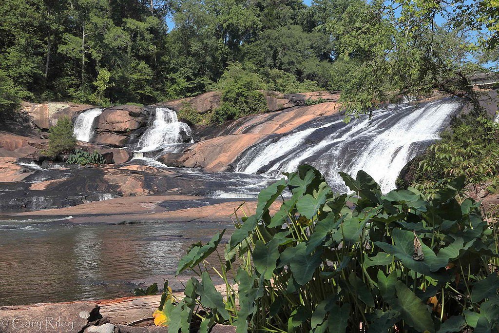
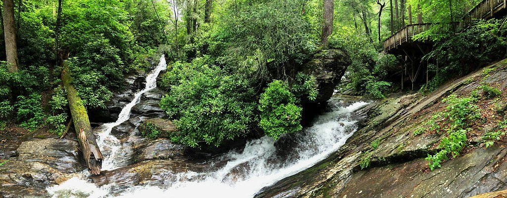
About Nottely Falls
Nottely Falls is a small, picturesque cascade on the Nottely River just outside Blairsville, Georgia. Framed by lush green forest, the falls make a peaceful stop for hikers and photographers — a compact natural retreat where the steady rush of water and the surrounding canopy create a quietly scenic setting. Access to the falls is commonly made via a moderate hiking route: the approach is roughly a 2.4-mile out-and-back with about 350 feet of elevation gain, making it a satisfying half-day outing for most hikers. If you’re camping, the Desoto Falls Recreation Area is conveniently nearby (about 4.14 km away), so you can easily combine an overnight stay with an early-morning or late-afternoon visit to the falls.
The Setting
Nottely Falls sits at 2,953 feet along the Nottely River, in the hills of Georgia.
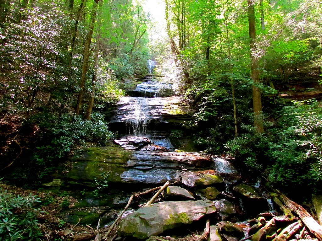
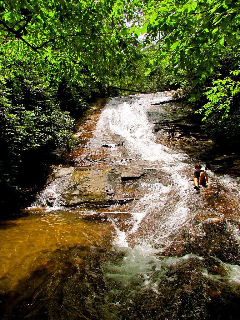
Nearby Falls Worth Visiting
Dukes Creek Falls (150 ft) lies 7.9 miles to the east. Also nearby: DeSoto Falls (120 ft, 1.8 mi) and Helton Creek Falls (100 ft, 1.6 mi).
Trail & Hike Details
The Approach
The moderate 2.4-mile out-and-back trail gains 350 feet of elevation on the way to the falls.
Trail Description
Trail type: out-and-back. Distance: ~2.4 miles (total). Elevation gain: approximately 350 feet. Difficulty: moderate. Available trail data do not specify a USFS trail name/number, surface, grade, or technical class; plan for typical forest hiking conditions and check local sources or maps before you go.
What to Expect
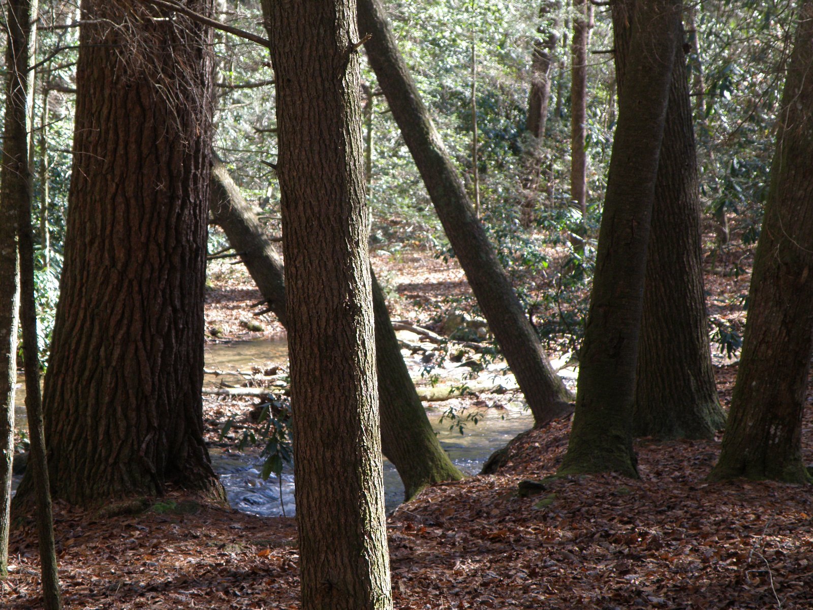
Expect a peaceful and scenic waterfall surrounded by natural beauty. The area may be less developed, so visitors should prepare for uneven terrain and limited facilities.
Accessibility
The trail is not wheelchair accessible. Uneven terrain and elevation changes require steady footing.
Frequently Asked Questions
🐶 Are Dogs Allowed at Nottely Falls?
❌ Dogs are not allowed
Are There Any Fees or Permits Required?
🆖 No fees required
🏊 Is There Swimming at Nottely Falls?
❌ Swimming is not allowed
When to Visit
Spring and fall are typically the best times to visit, as the water flow is often stronger, and the surrounding foliage is vibrant.
Seasonal Access
The best time to visit is Spring, Summer, and Fall. Winter access may be limited.
Safety Information
Be cautious of slippery rocks and uneven terrain near the falls. Always check weather conditions before visiting, as heavy rain can make the area hazardous.
Current Water Conditions
87 ft³/s
Current discharge — how much water is flowing
About average for this time of year
1.77 ft
Water depth at gauge
7-Day Discharge Trend
What does this mean for your visit?
Flow is about average for this time of year.
About This Gauge
This gauge is on a nearby waterway and may not reflect exact conditions at the falls.
7-Day Flow Outlook
Based on the USGS gauge NOTTELY RIVER NEAR BLAIRSVILLE, GA (11 km away).
Today
Moderate
94 cfs
6/10Tomorrow
Moderate
90 cfs
9/10Tue
Strong
100 cfs
7/10Wed
Moderate
86 cfs
9/10Thu
Moderate
83 cfs
9/10Fri
Strong
89 cfs
7/10Sat
Strong
98 cfs
7/10Best window: Tomorrow — moderate flow, mostly sunny (trip score 9/10).
Best time of year: this gauge typically runs highest from early March to late April, peaking in April.
How we calculate this
This is a transparent outlook, not a precise forecast. We take the waterfall's current flow strength (how it ranks against its historical normal for today, from the nearest USGS stream gauge), carry that ranking forward along the gauge's seasonal curve, and nudge it for forecast rain. Confidence is highest for the next day or two and falls further out. Always check official conditions and your own judgment before visiting — high flows can be dangerous.
Know when to go.
Get a free email alert when waterfalls near Blairsville hit peak flow. We only send when conditions are worth the trip — no weekly newsletters, no spam.
Weather Forecast
Location & Access
Getting There
Nottely Falls is located near Blairsville, Georgia, and can be accessed via local roads. Specific directions may vary depending on your starting point, so using a GPS or map is recommended.
Get Directions on Google MapsParking
Parking availability is unclear, but there may be roadside parking or small parking areas nearby. Visitors should plan accordingly and avoid blocking any private property or roadways.
Elevation
2,953 feet above sea level
Coordinates
34.742591° N, -83.920743° W
Visitor Tips & Gear
Bring sturdy footwear and be cautious of slippery rocks near the falls. Check local conditions before visiting, as access may vary depending on weather or other factors.
As an Amazon Associate, we earn from qualifying purchases.
With 2.4 miles and 350 ft of elevation gain, sturdy boots and trekking poles will help on this moderate trail. Sun exposure on the trail makes good sun protection a must in summer.

Polarized Sunglasses (Knockaround)
Cuts glare off the water so you actually see the falls — and your photos turn out better too.

Columbia Watertight II Rain Jacket
Packs into its own pocket, seam-sealed, and keeps you dry from spray and surprise rain.

Earth Pak Waterproof Dry Bag
Keeps your phone and gear dry when waterfall mist soaks everything else.

Waterproof Phone Pouch (AiRunTech)
Cheap insurance — take photos right next to the falls without killing your phone.

Timberland Euro Sprint Mid Waterproof
Trusted waterproof boot with premium leather and grippy rubber sole — reliable on rocky, wet trails.

TrailBuddy Trekking Poles
Lightweight aluminum, cork grips, and flip-locks that actually hold — a best-seller for good reason.
Where to Stay

Dahlonega Resort and Vineyard

Holiday Inn Express & Suites Helen by IHG

Ferny Creek Cottage

Quality Inn Dahlonega Near University
Browse vacation cabins and private rentals nearby
Unique outdoor stays — tents, yurts, and treehouses
Rent a campervan or RV for your waterfall road trip
Some links are affiliate links. We may earn a commission at no extra cost to you.
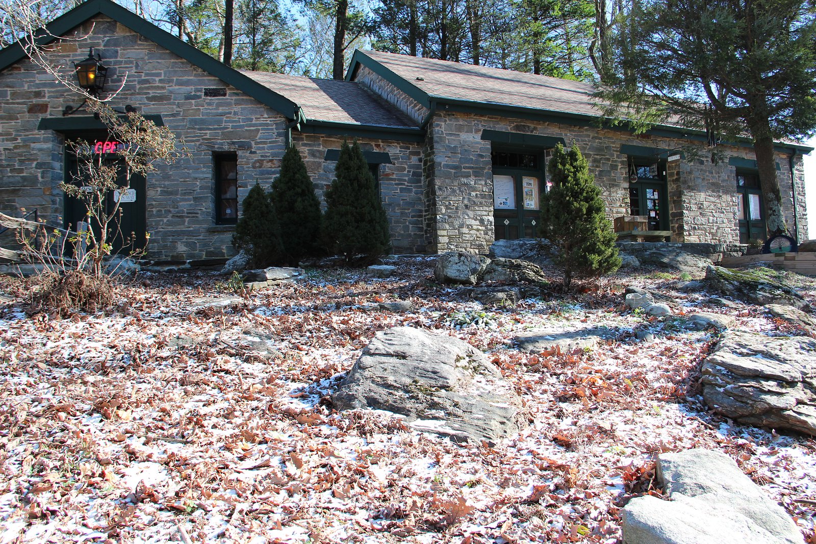
Nearby Campground
Desoto Falls Recreation Area
2.6 miles away · 23 sites
Overview Desoto Falls Recreation Area is a U.S. Forest Service Campground located approximately 2 hours North of Atlanta in the North Georgia mountains of the Chattahoochee National Forest. Desoto Falls offers visitors year-round recreation opportunities including camping, fishing, picnicking, and beautiful hikes to our nearby waterfalls. The campground is situated along Frogtown Creek with at an elevation of 2,080 feet above sea level, under a dense forest of deciduous and evergreen trees. 23
Book on Recreation.govAdditional Information
Nearby Attractions
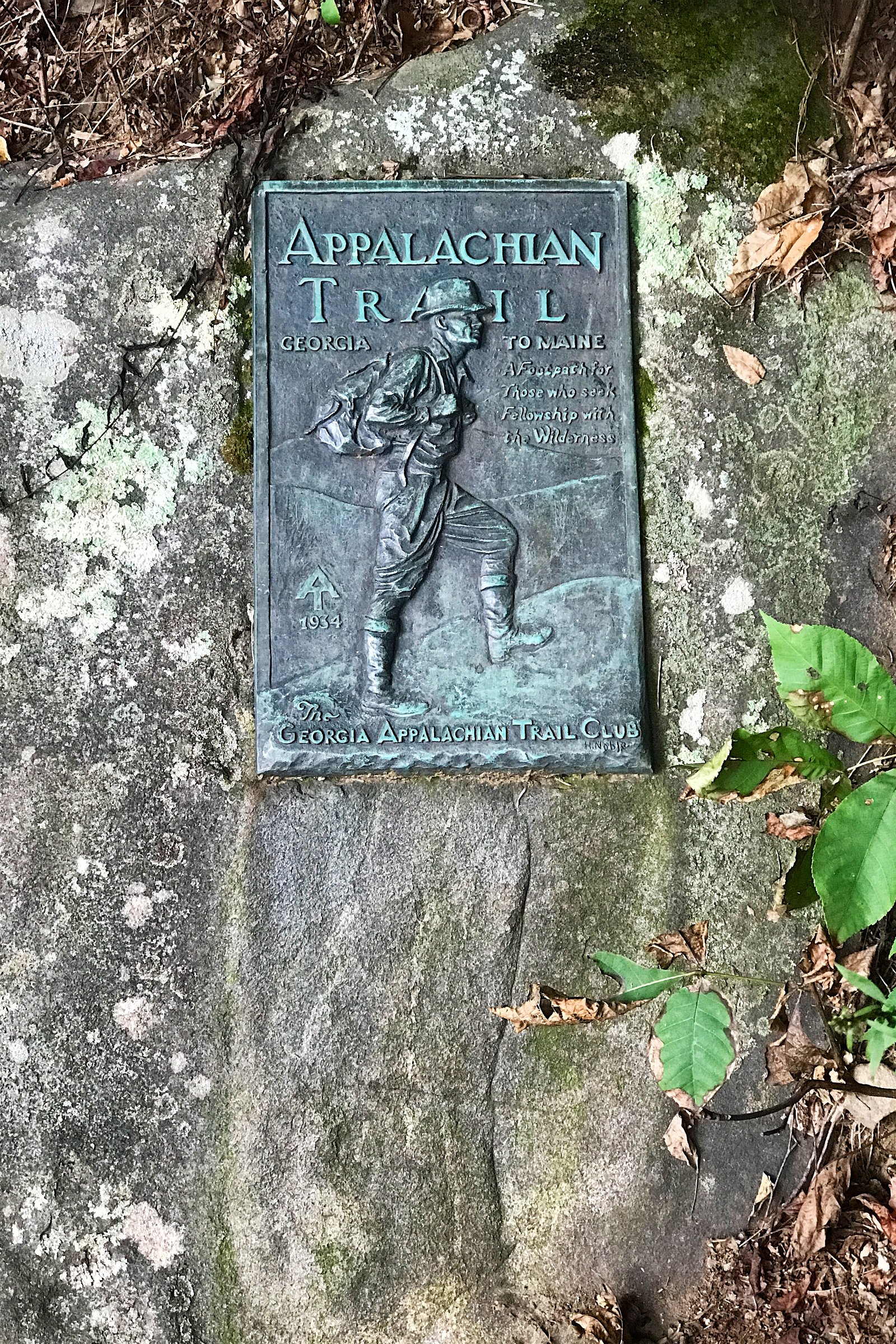
Nearby attractions include Vogel State Park, Brasstown Bald, and the Appalachian Trail.
Wildlife
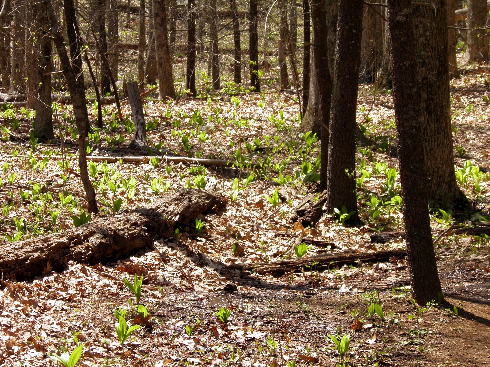
The area around Nottely Falls may feature common wildlife such as birds, deer, and small mammals. Visitors should also be aware of potential encounters with snakes or insects.
Cities near Nottely Falls
Nearby Waterfalls
Writing about Nottely Falls? Embed this waterfall on your site for free.