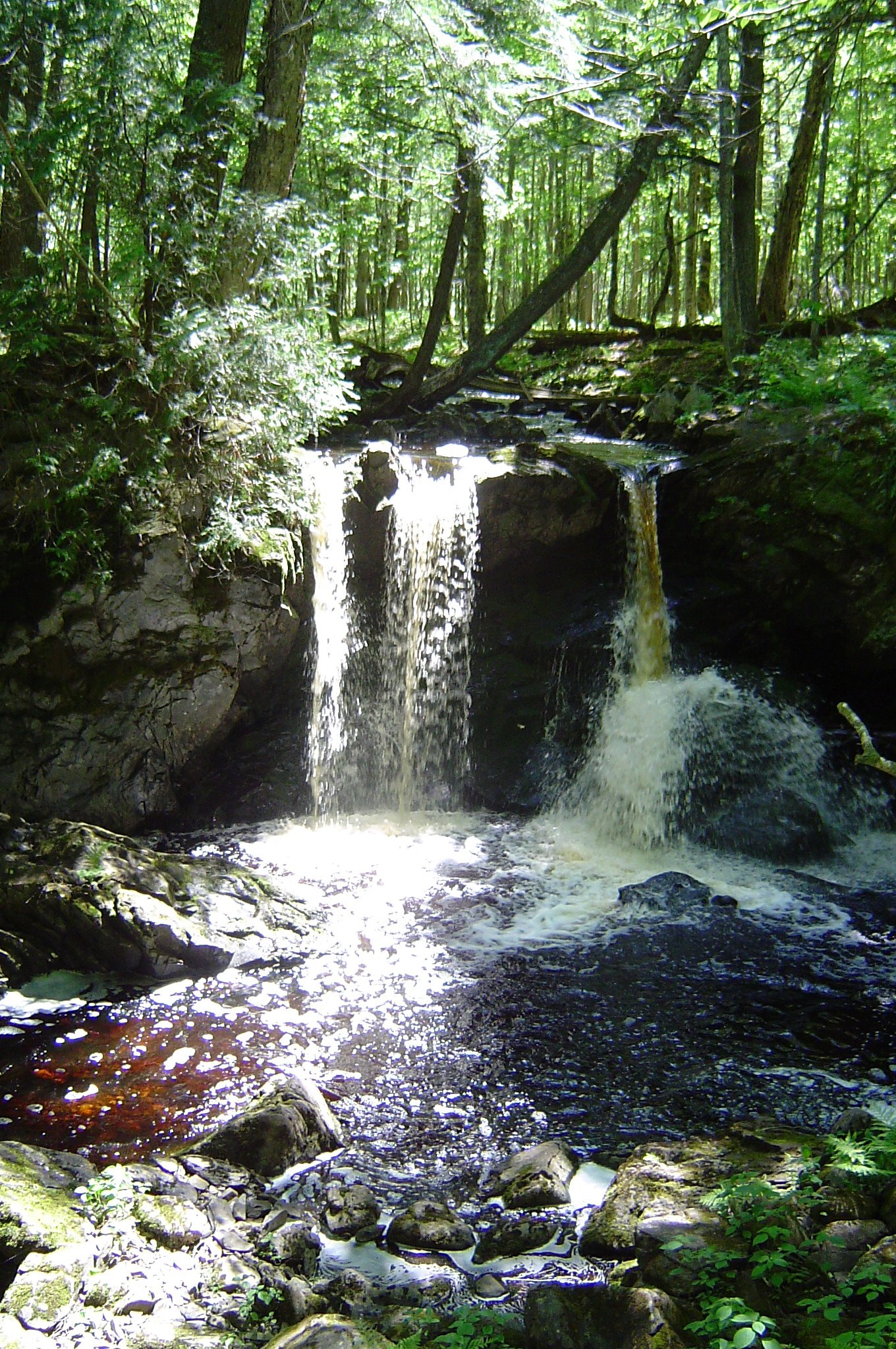
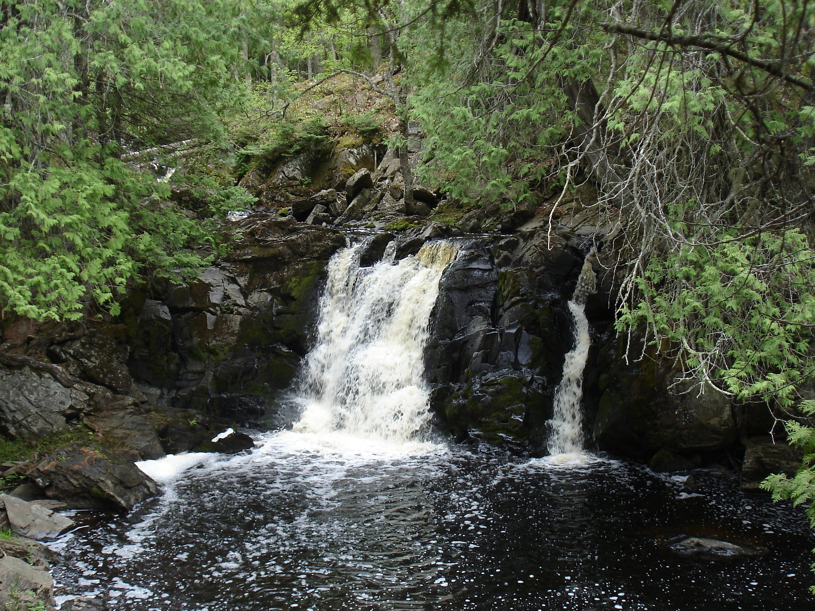
Nelson Canyon Falls
By Armen Suny · Last verified May 2026

Photo Credits (1)
Difficulty
Easy
Trail Length
1.0 miles
Trail Type
Out And Back
Elevation Gain
100 ft
About Nelson Canyon Falls
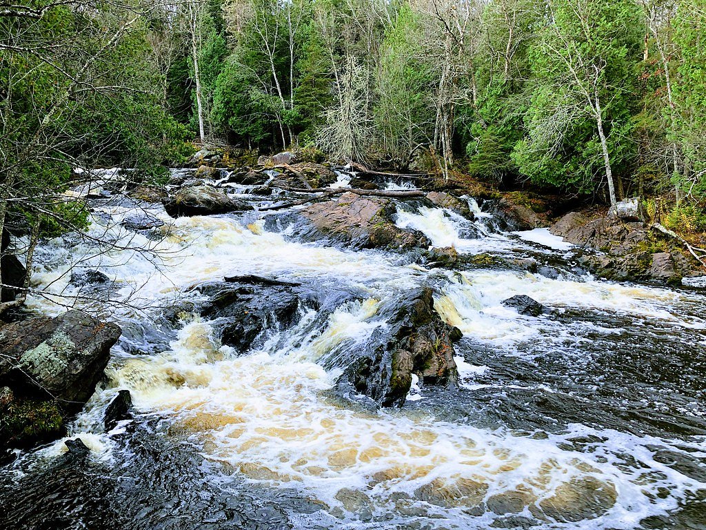
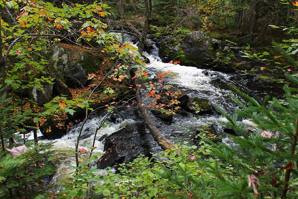
Tucked into the shaded hardwoods of Michigan’s Upper Peninsula, Nelson Canyon Falls is a small but charming cascade set on U.S. Forest Service land within the Ottawa National Forest. The fall’s modest drop and mossy rock ledges make for a picture-perfect stop—especially after spring melt or a heavy rain—without the crowds of more famous UP waterfalls. Access is via a short USFS-managed spur, NFST-7418-D (Trail #T7418‑D), so visitors should plan for a brief walk on forested singletrack to reach the viewing area. Because the falls are on National Forest ground managed by the U.S. Forest Service, you’ll find a quiet, natural setting and nearby dispersed recreation opportunities. If you want to turn the outing into an overnight trip, Bobcat Lake Campground is about 8.08 km away and offers a convenient base for exploring the surrounding trails and lakes.
The Setting
Nelson Canyon Falls sits at 1,378 feet within Ottawa National Forest, fed by the Cisco Branch Ontonagon R, in the foothills of Michigan.
Trail & Hike Details
The Approach
The easy hike follows Nfst 7418 D (#T7418-D), a 1.0-mile out-and-back trail over natural surface. Expect 100 feet of elevation gain with grades of 0-5%. The trail is developed (Class 3).
USFS Trail
NFST-7418-D #T7418-D
Trail Class
Developed
Surface
Avg Grade
USFS Segment
0.15 miTrail Description
The primary approach to Nelson Canyon Falls uses USFS trail NFST-7418-D (Trail #T7418‑D). USFS trail data lists this segment as a Class 3 tread on native material with a typical grade of 0–5% (GIS-recorded length 0.15 miles for the mapped spur). Most hikers report a roughly 1.0 mile out-and-back outing with about 100 feet of elevation gain; the route is rated easy overall. Expect a natural dirt/leaf-covered surface and mostly gentle grades, but watch for uneven footing and wet rocks near the falls. The path is short and informal in places and not strongly signed, so carry a map or GPS and use landmarks when navigating back to the trailhead.
What to Expect
Dogs are welcome.
Accessibility
The trail is not wheelchair accessible. Uneven terrain and elevation changes require steady footing.
Frequently Asked Questions
🐶 Are Dogs Allowed at Nelson Canyon Falls?
✅ Dogs are allowed
Are There Any Fees or Permits Required?
🆖 No fees required
🏊 Is There Swimming at Nelson Canyon Falls?
❌ Swimming is not allowed
When to Visit
Spring is the best time to visit, as the waterfall is most active due to snowmelt. Summer and fall are also good options for pleasant weather and colorful foliage.
Seasonal Access
The best time to visit is Spring, Summer, and Fall. Winter access may be limited. Check with Ottawa National Forest for seasonal road closures.
Safety Information
The trail may be slippery after rain, and the area around the waterfall can be muddy. Visitors should exercise caution and avoid getting too close to the edge of the falls.
Current Water Conditions
17 ft³/s
Current discharge — how much water is flowing
About average for this time of year
Based on 81 years of record
4.38 ft
Water depth at gauge
7-Day Discharge Trend
What does this mean for your visit?
Flow is about average for this time of year.
About This Gauge
This gauge is on a nearby waterway and may not reflect exact conditions at the falls.
7-Day Flow Outlook
Based on the USGS gauge CISCO BRANCH ONTONAGON R AT CISCO LAKE OUTLET, MI (18 km away).
Today
Low
19 cfs
3/10Tomorrow
Low
15 cfs
3/10Wed
Low
20 cfs
3/10Thu
Low
18 cfs
3/10Fri
Low
16 cfs
3/10Sat
Low
16 cfs
3/10Sun
Low
15 cfs
3/10Best window: Today — low flow, chance showers and thunderstorms then mostly cloudy (trip score 3/10).
Best time of year: this gauge typically runs highest from mid October to early December, peaking in April.
How we calculate this
This is a transparent outlook, not a precise forecast. We take the waterfall's current flow strength (how it ranks against its historical normal for today, from the nearest USGS stream gauge), carry that ranking forward along the gauge's seasonal curve, and nudge it for forecast rain. Confidence is highest for the next day or two and falls further out. Always check official conditions and your own judgment before visiting — high flows can be dangerous.
Know when to go.
Get a free email alert when waterfalls near Marenisco hit peak flow. We only send when conditions are worth the trip — no weekly newsletters, no spam.
Weather Forecast
Location & Access
Getting There
Nelson Canyon Falls is located near Munising, Michigan, in the Upper Peninsula. Access typically involves driving on unpaved roads and a short hike through the forest. Exact directions may vary, so consulting a local map or GPS is recommended.
Get Directions on Google MapsParking
Parking is available in a small, unmarked area near the trailhead. Visitors should be prepared for limited space and uneven terrain.
Elevation
1,378 feet above sea level
Coordinates
46.392170° N, -89.579042° W
Land Management
Managed by USFS
Visitor Tips & Gear
Wear sturdy shoes, as the trail can be muddy or slippery after rain. Bring bug spray during the summer months to protect against mosquitoes. A GPS or map is recommended due to the lack of trail markers.
As an Amazon Associate, we earn from qualifying purchases.
This easy 1.0 miles hike is straightforward — comfortable trail shoes and plenty of water should do. Sun exposure on the trail makes good sun protection a must in summer.

Polarized Sunglasses (Knockaround)
Cuts glare off the water so you actually see the falls — and your photos turn out better too.

Columbia Watertight II Rain Jacket
Packs into its own pocket, seam-sealed, and keeps you dry from spray and surprise rain.

Earth Pak Waterproof Dry Bag
Keeps your phone and gear dry when waterfall mist soaks everything else.

Waterproof Phone Pouch (AiRunTech)
Cheap insurance — take photos right next to the falls without killing your phone.

JOBY GorillaPod Starter Kit
Wraps around railings and rocks for long-exposure waterfall shots — no flat surface needed.

Osprey Daylite Daypack
Light, organized, and just the right size for a day hike — fits water, snacks, and layers.
Where to Stay

Boulder Bear Motor Lodge

Phelps Cabin on 26 Acres with Fire Pit!

Two Rivers Motel and Cabins of Kenton, MI

Northwoods Vacation Cisco Chain
Browse vacation cabins and private rentals nearby
Unique outdoor stays — tents, yurts, and treehouses
Rent a campervan or RV for your waterfall road trip
Some links are affiliate links. We may earn a commission at no extra cost to you.
Nearby Campground
Bobcat Lake Campground
5 miles away · 0 sites
Located in Gogebic County just 3 miles southeast of Marenisco, Mi., on the Bessemer Ranger District in the southern half of the Ottawa National Forest. Bobcat Lake campground features one loop with 11 campsites. Campsites are bordered by vegetation providing privacy between sites. These drive in sites offer a tent pad, wood table, fire ring, lantern post and gravel parking spur. Two accessible vault toilets are located in the campground and water is provided by a centrally located hand pump in th
Book on Recreation.govAdditional Information
Nearby Attractions
Pictured Rocks National Lakeshore, Munising Falls, and Miners Castle are all located nearby and worth visiting.
Wildlife
The area is home to deer, birds, and other forest wildlife. Visitors should be cautious of ticks and other insects.
Cities near Nelson Canyon Falls
Nearby Waterfalls

Writing about Nelson Canyon Falls? Embed this waterfall on your site for free.