
Photo Credits (5)
Difficulty
Moderate
Trail Length
2.4 miles
Trail Type
Out And Back
Elevation Gain
350 ft
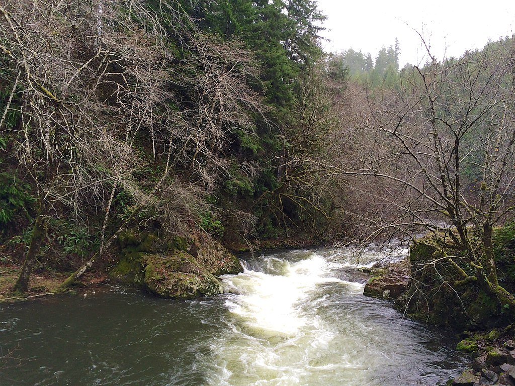
About Nehalem Falls
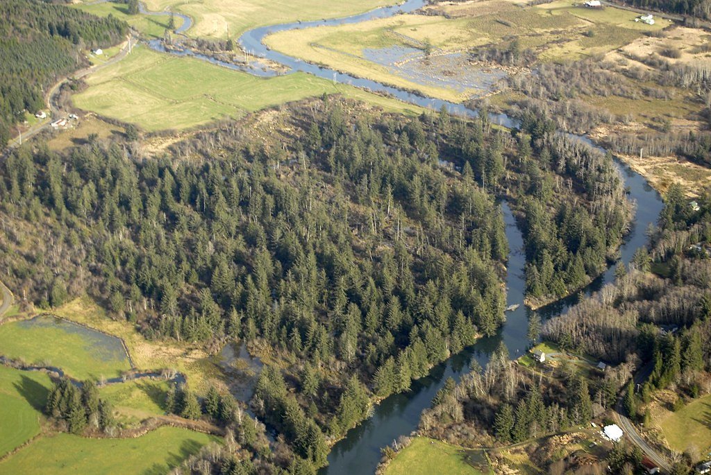
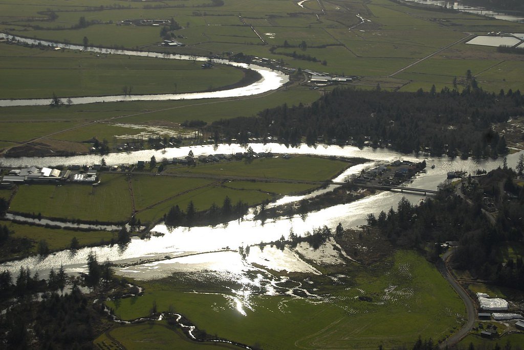
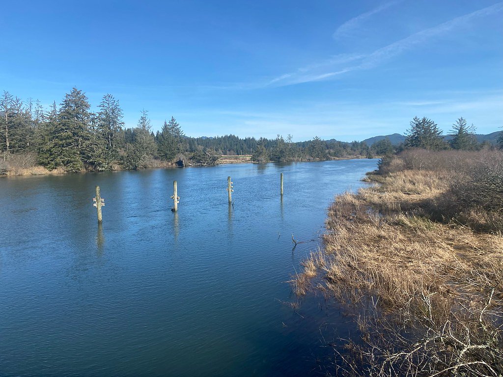
Nehalem Falls is a picturesque cascade on the Nehalem River tucked into Tillamook State Forest. Though modest in size, the falls drop through a lush, forested canyon to create a peaceful scene that’s popular with day hikers looking for an accessible river view and a quiet woodland outing. The falls and access corridor sit on lands owned by SDNR and are managed as an SRMA under the Board Of Forestry/County Land Use Resolution, with SLB listed as the managing entity. That stewardship helps keep the short trail and viewing area maintained and protected for visitors seeking a serene stretch of Oregon forest.
The Setting
Nehalem Falls sits at 79 feet within Board Of Forestry/County Land Use Resolution, fed by the Nehalem River, in the coastal lowlands of Oregon.
Trail & Hike Details
The Approach
The moderate 2.4-mile out-and-back trail gains 350 feet of elevation on the way to the falls.
Trail Description
The trail to Nehalem Falls is a moderate 2.4-mile out-and-back with approximately 350 feet of elevation gain. The route follows a well-maintained path through forested terrain and leads directly to a viewing area near the waterfall; expect a steady moderate grade over the length of the hike. No USFS trail number or additional surface/route class data is provided for this access.
What to Expect
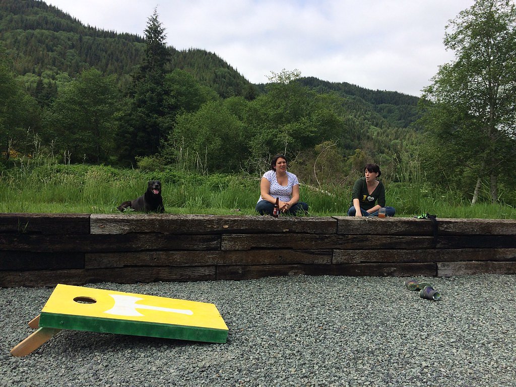
Dogs are welcome.
Accessibility
The trail is not wheelchair accessible. Uneven terrain and elevation changes require steady footing.
Frequently Asked Questions
🐶 Are Dogs Allowed at Nehalem Falls?
✅ Dogs are allowed
Are There Any Fees or Permits Required?
🆖 No fees required
🏊 Is There Swimming at Nehalem Falls?
❌ Swimming is not allowed
When to Visit
Spring and early summer are ideal times to visit when the water flow is at its peak. Fall offers beautiful foliage, while winter may bring icy conditions.
Seasonal Access
The best time to visit is Spring, Summer, and Fall. Winter access may be limited.
Safety Information
Exercise caution near the water as rocks can be slippery. Be aware of changing weather conditions, especially during winter when trails may be icy.
Current Water Conditions
296 ft³/s
Current discharge — how much water is flowing
Lower than usual for this time of year
Based on 84 years of record
2.13 ft
Water depth at gauge
73°F
ComfortablePleasant for swimming
7-Day Discharge Trend
What does this mean for your visit?
Flow is lower than usual for this time of year. The water is a comfortable 73 degrees F, pleasant for swimming.
About This Gauge
7-Day Flow Outlook
Based on the USGS gauge NEHALEM RIVER NEAR FOSS, OR (3 km away).
Today
Barely Flowing
320 cfs
3/10Tomorrow
Low
332 cfs
4/10Sat
Low
332 cfs
4/10Sun
Low
332 cfs
4/10Mon
Low
332 cfs
4/10Tue
Low
332 cfs
4/10Wed
Low
332 cfs
4/10Best window: Tomorrow — low flow, light rain (trip score 4/10).
How we calculate this
This is a transparent outlook, not a precise forecast. We take the waterfall's current flow strength (how it ranks against its historical normal for today, from the nearest USGS stream gauge), carry that ranking forward along the gauge's seasonal curve, and nudge it for forecast rain. Confidence is highest for the next day or two and falls further out. Always check official conditions and your own judgment before visiting — high flows can be dangerous.
Know when to go.
Get a free email alert when waterfalls near Nehalem hit peak flow. We only send when conditions are worth the trip — no weekly newsletters, no spam.
Weather Forecast
Location & Access
Getting There
Nehalem Falls is located off Highway 26 in the Tillamook State Forest. From the highway, follow signs to the Nehalem Falls Campground, which provides access to the waterfall.
Get Directions on Google MapsParking
Parking is available at the Nehalem Falls Campground, which is close to the waterfall. The parking area is typically sufficient for visitors, but it may fill up during peak seasons.
Elevation
79 feet above sea level
Coordinates
45.727332° N, -123.772906° W
Land Management
Managed by SLB
Visitor Tips & Gear
Visit early in the day to avoid crowds, especially during summer weekends. Wear sturdy shoes as the trail may be muddy after rain. Bring a camera to capture the scenic beauty.
As an Amazon Associate, we earn from qualifying purchases.
With 2.4 miles and 350 ft of elevation gain, sturdy boots and trekking poles will help on this moderate trail. Sun exposure on the trail makes good sun protection a must in summer.

Polarized Sunglasses (Knockaround)
Cuts glare off the water so you actually see the falls — and your photos turn out better too.

Columbia Watertight II Rain Jacket
Packs into its own pocket, seam-sealed, and keeps you dry from spray and surprise rain.

Earth Pak Waterproof Dry Bag
Keeps your phone and gear dry when waterfall mist soaks everything else.

Waterproof Phone Pouch (AiRunTech)
Cheap insurance — take photos right next to the falls without killing your phone.

Timberland Euro Sprint Mid Waterproof
Trusted waterproof boot with premium leather and grippy rubber sole — reliable on rocky, wet trails.

TrailBuddy Trekking Poles
Lightweight aluminum, cork grips, and flip-locks that actually hold — a best-seller for good reason.
Where to Stay

Inn at Cannon Beach

2 Bed 2 Bath Vacation home in Rockaway Beach

Forest-view home with fireplace deck - Walk to the Beach & Golf Course

Home with a washer&dryer fireplace & spacious deck with grill
Browse vacation cabins and private rentals nearby
Unique outdoor stays — tents, yurts, and treehouses
Rent a campervan or RV for your waterfall road trip
Some links are affiliate links. We may earn a commission at no extra cost to you.
Additional Information
Nearby Attractions
Nearby attractions include the Tillamook Forest Center, hiking trails in the Tillamook State Forest, and the Nehalem River for fishing and picnicking.
Wildlife
The area is home to various wildlife, including birds, deer, and small mammals. Be cautious of potential encounters with wildlife.
Cities near Nehalem Falls
Nearby Waterfalls
Writing about Nehalem Falls? Embed this waterfall on your site for free.