
Photo Credits (5)
Difficulty
Moderate
Trail Length
2.4 miles
Trail Type
Out And Back
Elevation Gain
350 ft
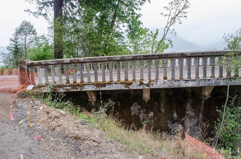
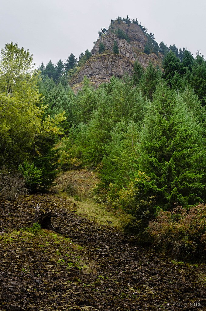
About Moffett Falls
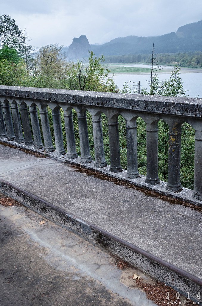
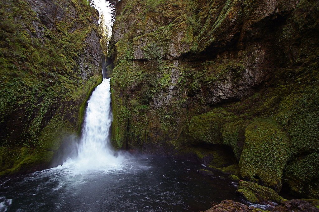
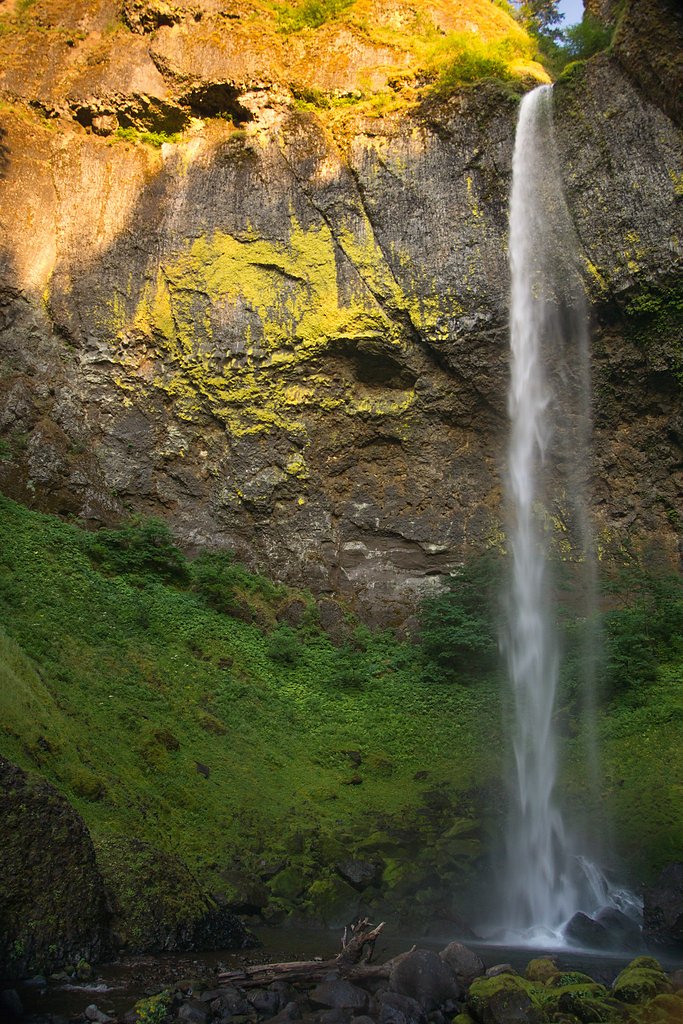
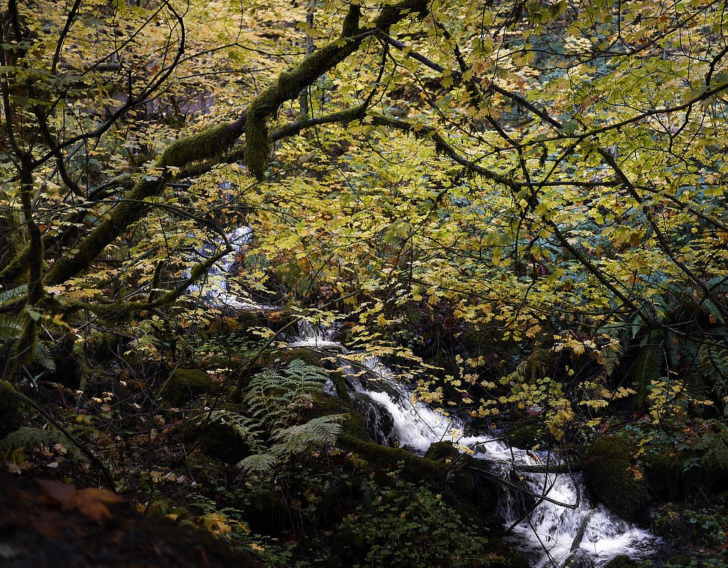
Moffett Falls (also listed as Wahe Falls or Moffett Creek Falls) is an eye-catching 80-foot cascade tucked into the Columbia River Gorge in Multnomah County, Oregon. The waterfall is the last of several drops along Moffett Creek and sits near the mouth of the creek within the John B. Yeon State Scenic Corridor. Wikipedia notes the feature under the names Wahe Falls/Moffett Creek Falls and records its discovery by Lee Zimmerman and David Hammond in the winter of 2026; the setting is classic Gorge country — mossy cliffs, dense Northwest forest, and the roar of falling water. The waterfall and its access sit on National Forest System land managed by the U.S. Forest Service within Mt. Hood National Forest, and many hikers reach it via the USFS-listed WAHCLELLA FALLS Trail (Trail #436). If you plan to make a day of it, the Eagle Creek Overlook Group Site is the nearest campground at roughly 4.05 km away, making this a convenient stop for groups and overnight trips. The area invites photographers and hikers alike with short, scenic approaches and the chance to visit several creek-side drops on the same outing.
The Setting
Moffett Falls sits at 115 feet within Mt. Hood National Forest, fed by the Bull Run River, in the coastal lowlands of Oregon.
Nearby Falls Worth Visiting
Elowah Falls (213 ft) lies 1.2 miles to the southwest. Also nearby: Wahclella Falls (65 ft, 1.1 mi).
Trail & Hike Details
The Approach
The moderate hike follows Wahclella Falls (#436), a 2.4-mile out-and-back trail over natural surface. Expect 350 feet of elevation gain with grades of 5-8%. The trail is highly developed (Class 4).
USFS Trail
WAHCLELLA FALLS #436
Trail Class
Highly Developed
Surface
Avg Grade
USFS Segment
0.37 miTrail Description
Access to Moffett Falls is commonly reached from the route shown in USFS records as WAHCLELLA FALLS, Trail #436. The Forest Service classifies this trail segment as Class 4 with a native-material surface and a typical grade of 5–8%; USFS GIS maps a segment length of 0.37 miles for Trail #436. The popular hiked route to the falls is an out-and-back of about 2.4 miles total with roughly 350 feet of elevation gain, rated moderate. Expect natural tread (roots and rocks), some steep stretches in keeping with the stated grade, and short sections where careful footing is advised.
What to Expect
Dogs are welcome.
Accessibility
The trail is not wheelchair accessible. Uneven terrain and elevation changes require steady footing.
Frequently Asked Questions
🐶 Are Dogs Allowed at Moffett Falls?
✅ Dogs are allowed
Are There Any Fees or Permits Required?
🤑 Fee: $5.00
Permit required
A Northwest Forest Pass or equivalent is required for parking at the trailhead.
🏊 Is There Swimming at Moffett Falls?
❌ Swimming is not allowed
When to Visit
Spring and early summer are the best times to visit, as the waterfall flow is typically strongest due to snowmelt and seasonal rains.
Seasonal Access
The best time to visit is Spring, Summer, and Fall. Winter access may be limited. Check with Mt. Hood National Forest for seasonal road closures.
Safety Information
Be cautious on the trail, as it can be slippery, especially after rain. Stay on designated paths to avoid damaging the environment and for your safety. Watch for falling rocks in certain areas.
Current Water Conditions
83 ft³/s
Current discharge — how much water is flowing
Lower than usual for this time of year
Based on 59 years of record
2.86 ft
Water depth at gauge
52°F
ColdBracing — limit time in water
7-Day Discharge Trend
What does this mean for your visit?
Flow is lower than usual for this time of year. Water temperature is a bracing 52 degrees F, limit your time in the water. Mineral content is typical.
Water Quality
Conductance
Dissolved minerals in the water
About This Gauge
This gauge is on a nearby waterway and may not reflect exact conditions at the falls.
7-Day Flow Outlook
Based on the USGS gauge BULL RUN RIVER NEAR MULTNOMAH FALLS, OR (14 km away).
Today
Roaring
95 cfs
6/10Tomorrow
Roaring
93 cfs
6/10Mon
Roaring
87 cfs
6/10Tue
Roaring
80 cfs
6/10Wed
Roaring
76 cfs
6/10Thu
Roaring
78 cfs
6/10Fri
Roaring
79 cfs
6/10Best window: Today — roaring flow, showers and thunderstorms (trip score 6/10).
Best time of year: this gauge typically runs highest from early April to mid April, peaking in January.
How we calculate this
This is a transparent outlook, not a precise forecast. We take the waterfall's current flow strength (how it ranks against its historical normal for today, from the nearest USGS stream gauge), carry that ranking forward along the gauge's seasonal curve, and nudge it for forecast rain. Confidence is highest for the next day or two and falls further out. Always check official conditions and your own judgment before visiting — high flows can be dangerous.
Know when to go.
Get a free email alert when waterfalls near North Bonneville hit peak flow. We only send when conditions are worth the trip — no weekly newsletters, no spam.
Weather Forecast
Location & Access
Getting There
Moffett Falls is accessible via the Multnomah-Wahkeena Loop trail in the Columbia River Gorge. The trailhead can be accessed from the Wahkeena Falls parking area, located off the Historic Columbia River Highway.
Get Directions on Google MapsParking
Parking is available at the Wahkeena Falls parking area, but it can fill up quickly, especially during peak seasons. Arrive early to secure a spot.
Elevation
115 feet above sea level
Coordinates
45.622062° N, -121.973971° W
Land Management
Managed by USFS
Visitor Tips & Gear
Wear sturdy hiking shoes, as the trail can be steep and slippery in places. Bring plenty of water and snacks, especially during warmer months. Arrive early to avoid crowds and secure parking. Check weather conditions before your visit, as the trail can be muddy or icy depending on the season.
As an Amazon Associate, we earn from qualifying purchases.
With 2.4 miles and 350 ft of elevation gain, sturdy boots and trekking poles will help on this moderate trail. Sun exposure on the trail makes good sun protection a must in summer.

Polarized Sunglasses (Knockaround)
Cuts glare off the water so you actually see the falls — and your photos turn out better too.

Columbia Watertight II Rain Jacket
Packs into its own pocket, seam-sealed, and keeps you dry from spray and surprise rain.

Earth Pak Waterproof Dry Bag
Keeps your phone and gear dry when waterfall mist soaks everything else.

Waterproof Phone Pouch (AiRunTech)
Cheap insurance — take photos right next to the falls without killing your phone.

Timberland Euro Sprint Mid Waterproof
Trusted waterproof boot with premium leather and grippy rubber sole — reliable on rocky, wet trails.

TrailBuddy Trekking Poles
Lightweight aluminum, cork grips, and flip-locks that actually hold — a best-seller for good reason.
Where to Stay

Bonneville Hot Springs Resort & Spa

Skamania Lodge

Mount Hood Village

Mt Air Motel
Browse vacation cabins and private rentals nearby
Unique outdoor stays — tents, yurts, and treehouses
Rent a campervan or RV for your waterfall road trip
Some links are affiliate links. We may earn a commission at no extra cost to you.
Nearby Campground
EAGLE CREEK OVERLOOK GRP SITE
2.5 miles away · 1 sites
Overview Eagle Creek Overlook Group Site is set on a forested bluff above the Columbia River, providing an ideal setting for family gatherings and group events. Developed by the Civilian Conservation Corps (CCC) in the 1930s as a place to view construction of the Bonneville Dam, this site features CCC masonry and offers expansive views of the Columbia River and mountains rising from the gorge.Recreation The Eagle Recreation Area, just a short walk or bike ride away, provides visitors with opportu
Book on Recreation.govNearby Hot Springs
Hot springs near North Bonneville, Oregon
Moffetts (Bonneville) Hot Springs
Moffetts Hot Springs, also called Bonneville Hot Springs, flows at 97 degrees in the Gifford Pinchot National Forest at just 75...
Rock Creek Hot Springs
Rock Creek Hot Springs emerges in the Columbia River Gorge in Skamania County, Washington, with water documented as 'hot' witho...
St Martins Hot Springs
St. Martins Hot Springs flows at 120 degrees Fahrenheit at just 432 feet elevation in the Columbia River Gorge near Carson in S...

Collins Hot Springs
Collins Hot Springs emerges at 122 degrees just 127 feet above sea level in the Columbia River Gorge, producing water 68.4 degr...

Mount Hood Fumaroles
Mount Hood Fumaroles vent at 194°F from the flanks of Oregon's highest peak, among the state's most extreme geothermal features...

Swim Warm Springs
Swim Warm Springs emerges at 79°F within Mount Hood National Forest at 4,063 feet elevation, flowing just 6.9 meters from White...
Looking for a soak after your hike? Explore more hot springs near North Bonneville, Oregon on SoakingSprings.
Explore Oregon springsAdditional Information
Nearby Attractions
Nearby attractions include Multnomah Falls, Wahkeena Falls, Fairy Falls, and the Columbia River Gorge Scenic Highway.
Wildlife
The area is home to a variety of wildlife, including birds, deer, and small mammals. Keep an eye out for native flora and fauna along the trail.
Cities near Moffett Falls
Nearby Waterfalls
Writing about Moffett Falls? Embed this waterfall on your site for free.