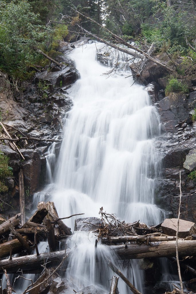
Marguerite Falls
Colorado • Rocky Mountain National Park
By Armen Suny · Last verified Sep 2026
LiDAR & 3D terrain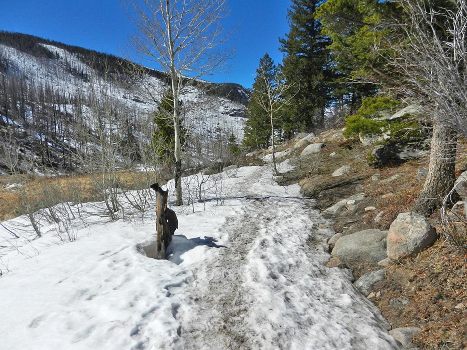

Photo Credits (2)
About Marguerite Falls
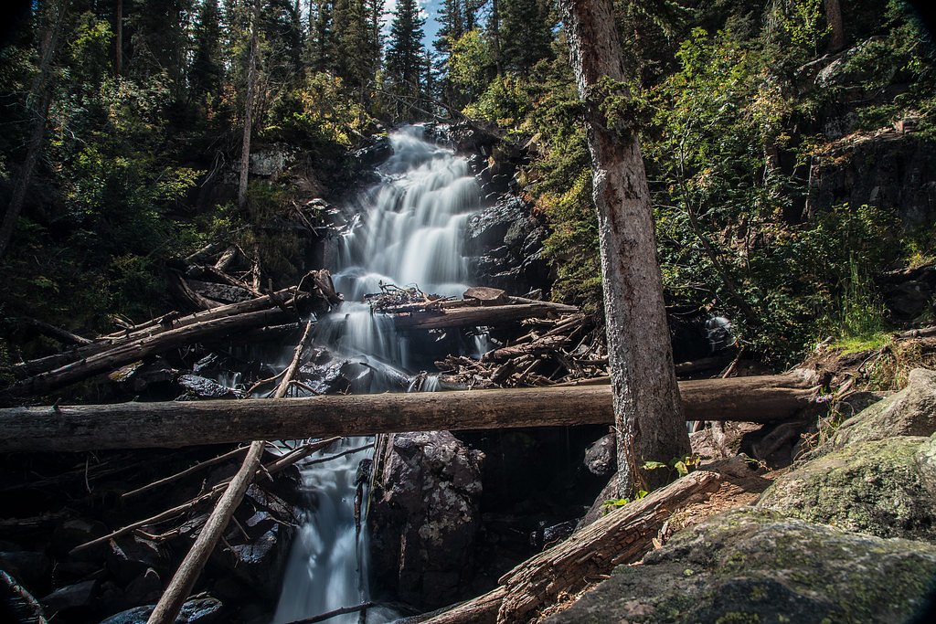
Marguerite Falls sits inside Rocky Mountain National Park and offers a peaceful cascade that rewards a relatively short hike. The route to the falls is an out-and-back of about 2.4 miles with roughly 350 feet of elevation gain and is generally rated moderate — a pleasant option for day hikers who want a bit of elevation without a full backcountry push. The waterfall and approach are managed by the National Park Service as part of Rocky Mountain National Park, so expect park rules and seasonal access considerations. Because the falls lie within Rocky Mountain National Park (a National Park unit administered by the NPS), check the National Park Service website or visitor center for current conditions and any trail advisories before you go. The nearest listed group campground is Cutthroat Bay Group, about 23.6 km away, so most visitors treat Marguerite Falls as a day hike; plan accordingly for parking, timing, and weather.
The Setting
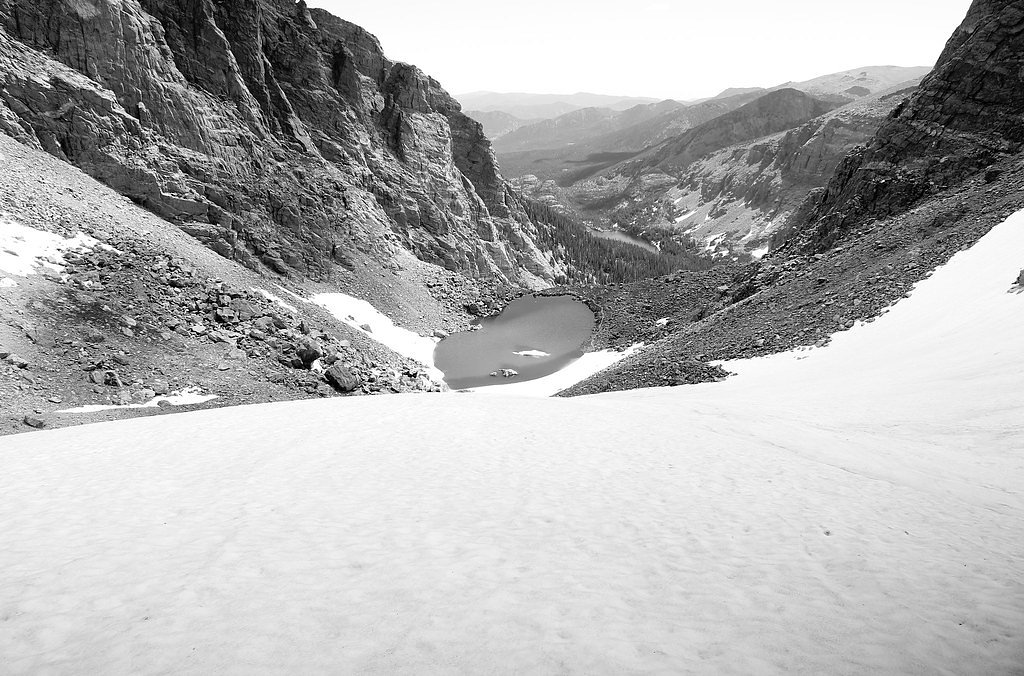
Marguerite Falls sits at 9,449 feet within Rocky Mountain National Park, fed by the Colorado River, in the high alpine of Colorado.
Trail & Hike Details
Trail Description
Trail type: out-and-back. Length: 2.4 miles (round trip as listed). Elevation gain: approximately 350 feet. Difficulty: moderate. Managed by: National Park Service within Rocky Mountain National Park. Surface, grade, and technical class are not documented in the provided data — consult current NPS trail reports or trailhead signage for surface conditions, seasonal closures, and other on-the-ground details before hiking.
What to Expect
Visitors can expect a peaceful natural setting with a waterfall surrounded by lush vegetation. The area may have uneven terrain and varying trail conditions.
Accessibility
Accessibility information is not available. The trail may not be suitable for individuals with mobility challenges.
Frequently Asked Questions
🐶 Are Dogs Allowed at Marguerite Falls?
❌ Dogs are not allowed
Are There Any Fees or Permits Required?
🆖 No fees required
🏊 Is There Swimming at Marguerite Falls?
❌ Swimming is not allowed
When to Visit
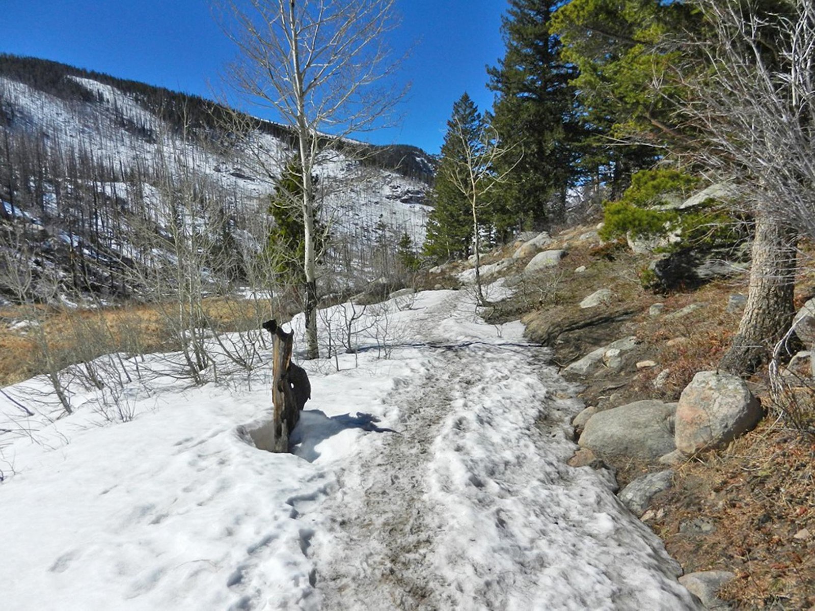
Spring and summer are typically the best times to visit, as the waterfall may have higher flow due to snowmelt. Fall offers beautiful foliage, while winter conditions may limit access.
Seasonal Access
The best time to visit is Spring, Summer, and Fall. Access roads and trails may close during winter due to snow. Check with Rocky Mountain National Park for current conditions.
Safety Information
Trail conditions may vary, and visitors should be prepared for uneven terrain and potential hazards such as slippery rocks or sudden weather changes. Always inform someone of your plans before heading out.
Current Water Conditions
12 ft³/s
Current discharge — how much water is flowing
Much lower than usual for this time of year
Based on 73 years of record
4.04 ft
Water depth at gauge
52°F
ColdBracing — limit time in water
7-Day Discharge Trend
What does this mean for your visit?
Flow is well below normal for this time of year, so the waterfall may be a trickle. Water temperature is a bracing 52 degrees F, limit your time in the water. Expect crystal clear visibility and excellent dissolved oxygen levels. PH is normal at 8.0 and mineral content is typical.
Water Quality
Dissolved Oxygen
ExcellentSupports aquatic life
pH
NormalWithin healthy range (6.5-8.5)
Water Clarity
Crystal clearExcellent visibility
Conductance
Dissolved minerals in the water
About This Gauge
This gauge is on a nearby waterway and may not reflect exact conditions at the falls.
7-Day Flow Outlook
Based on the USGS gauge COLORADO RIVER BELOW BAKER GULCH NR GRAND LAKE, CO (15 km away).
Today
Low
14 cfs
3/10Tomorrow
Low
13 cfs
6/10Sun
Low
14 cfs
3/10Mon
Moderate
16 cfs
4/10Tue
Moderate
16 cfs
4/10Wed
Low
14 cfs
4/10Thu
Low
13 cfs
4/10Best window: Tomorrow — low flow, sunny (trip score 6/10).
Best time of year: this gauge typically runs highest from late April to late July, peaking in June.
How we calculate this
This is a transparent outlook, not a precise forecast. We take the waterfall's current flow strength (how it ranks against its historical normal for today, from the nearest USGS stream gauge), carry that ranking forward along the gauge's seasonal curve, and nudge it for forecast rain. Confidence is highest for the next day or two and falls further out. Always check official conditions and your own judgment before visiting — high flows can be dangerous.
Know when to go.
Get a free email alert when waterfalls near Estes Park hit peak flow. We only send when conditions are worth the trip — no weekly newsletters, no spam.
Weather Forecast
The Terrain, Seen by LiDAR
Aircraft-mounted lasers measured this ground to within inches. Trees and buildings are digitally stripped away, leaving the bare shape of the land the water has carved.
Here the descent is spread out: 1-meter lidar measures about 97 feet of drop through Marguerite Falls, stretched along the creek rather than stacked in one wall. The brink sits at about 9,425 feet above sea level.
The ground changes about 84 feet in the 500 feet above the falls and 25 feet in the 500 feet below. The falls face north and stay mostly shaded, with soft, even light all day.
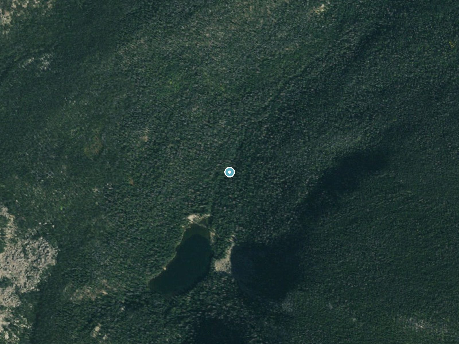
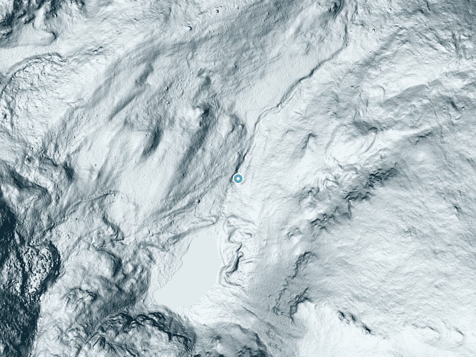
Drag to compare. The dot marks the waterfall. The frame is about a mile across.
- Ground elevation
- 9,425 feet
- Measured by 1-meter lidar
- Drop at the falls
- About 97 feet
- Change in ground height within ~250 feet of the falls
- Faces
- North
- Mostly shaded, so the light stays soft and even all day.
A slice through the lidar ground surface, from above the falls to downstream (heading north).
Elevation data: USGS 3D Elevation Program. Aerial imagery: USGS The National Map. Public domain.
Location & Access
Getting There
The exact location and directions to Marguerite Falls are not well-documented. Visitors are advised to consult local hiking guides or AllTrails for the most accurate information.
Get Directions on Google MapsParking
Parking availability is unclear. It is recommended to check with local resources or visitor centers for parking options near the trailhead.
Elevation
9,449 feet above sea level
Coordinates
40.339621° N, -105.674653° W
Land Management
Managed by NPS
Visitor Tips & Gear
Bring sturdy footwear, water, and a map or GPS device. Check weather conditions before visiting, as trails may become slippery or inaccessible during rain or snow.
This trail sits at 9,449 ft — the air is noticeably thinner
High AltitudeSome visitors experience headaches, fatigue, or shortness of breath at this elevation. Take it slow, stay hydrated, and consider supplemental oxygen if you're coming from a lower altitude.
As an Amazon Associate, we earn from qualifying purchases.

Coppertone Sport SPF 50 Sunscreen
UV intensity jumps ~4% per 1,000 ft — at this elevation you can burn in half the time.

Sun Bum SPF 30 Lip Balm (3-Pack)
Lips have almost no natural UV protection and burn fast in thin, dry mountain air.

Liquid I.V. Electrolyte Packets
You lose moisture ~2x faster at elevation — electrolytes help you absorb water efficiently.

ROCKNIGHT Polarized UV400 Sunglasses
High-altitude glare off rock and water is intense — UV400 lenses block 99%+ of UVA/UVB.

Boost Oxygen 10L Canister (2-Pack)
Portable supplemental oxygen for quick relief from headaches and shortness of breath.

Altitude Rx OxyBoost Complex
Antioxidant formula designed to support your body's natural altitude acclimation.
Where to Stay
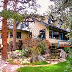
Riversong Inn Retreat
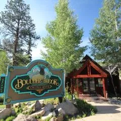
Boulder Brook on Fall River
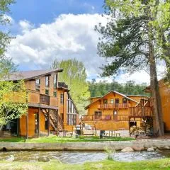
Murphy's River Lodge
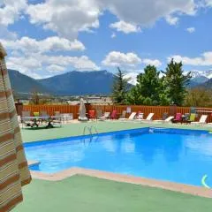
Murphy's Resort
Browse vacation cabins and private rentals nearby
Unique outdoor stays — tents, yurts, and treehouses
Rent a campervan or RV for your waterfall road trip
Some links are affiliate links. We may earn a commission at no extra cost to you.
Nearby Campground
CUTTHROAT BAY GROUP
14.7 miles away · 2 sites
Overview Cutthroat Bay Group Campground is located on Lake Granby, six miles southeast of Grand Lake in north central Colorado. Visitors enjoy the area for its great boating, fishing and hiking opportunities.Recreation Lake Granby is part of the Arapaho National Recreation Area. It offers boating, sailing, swimming and fishing. Anglers cast for kokanee salmon and rainbow, brown, mackinaw and cutthroat trout. A boat ramp and dock are located nearby. National Fishing Week is held annually the first
Book on Recreation.govNearby Hot Springs
Hot springs near Nederland, Colorado

Hot Sulphur Springs
Hot Sulphur Springs flows at 111°F along Parshall Divide Road in Grand County, emerging just 58 feet from the pavement in the s...

Idaho Springs
Idaho Springs surfaces at 115°F in Clear Creek County at 7,682 feet elevation, emerging near Soda Creek Road just 273 feet from...

Eldorado Springs
Eldorado Springs emerges at 79 degrees Fahrenheit in Boulder County's foothills as a low-mineralization thermal seep just 9 met...
Radium Hot Springs (Colorado)
Radium Hot Springs flows at approximately 104°F on Colorado State Wildlife property, situated roughly halfway between Kremmling...

Radium Hot Springs
Radium Hot Springs emerges on Bureau of Land Management property in the Upper Colorado River Special Recreation Management Area...
Looking for a soak after your hike? Explore more hot springs near Nederland, Colorado on SoakingSprings.
Explore Colorado springsAdditional Information
Nearby Attractions
Nearby attractions are not well-documented. Visitors may explore other natural areas or trails in the region.
Wildlife
The area may be home to typical Colorado wildlife, including birds, deer, and small mammals. Be cautious of potential encounters with bears or other larger animals.
Cities near Marguerite Falls
Nearby Waterfalls
Writing about Marguerite Falls? Embed this waterfall on your site for free.