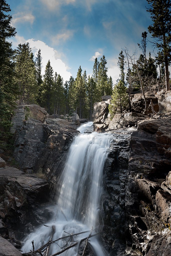
Alberta Falls
Colorado • Rocky Mountain National Park • 30 ft
By Armen Suny · Last verified Sep 2026
LiDAR & 3D terrain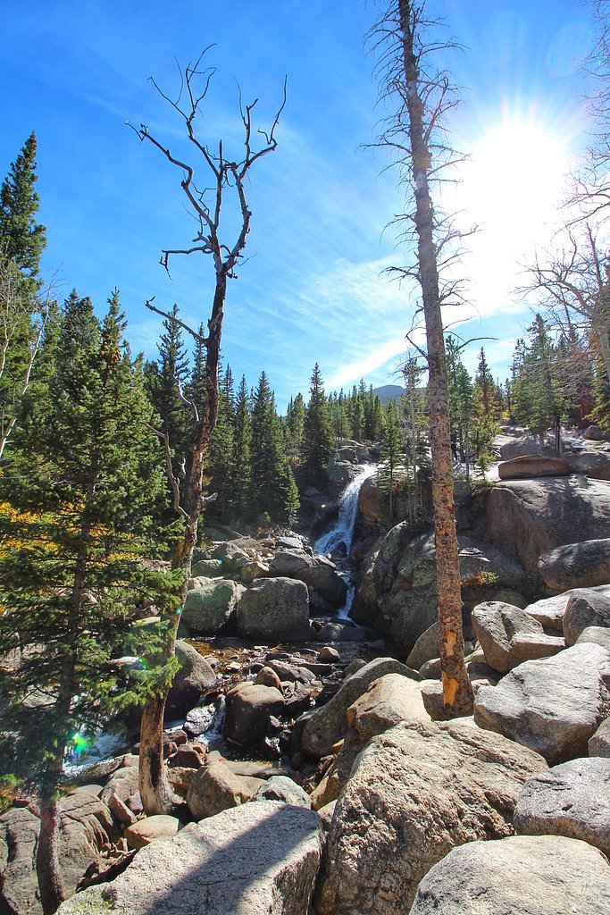
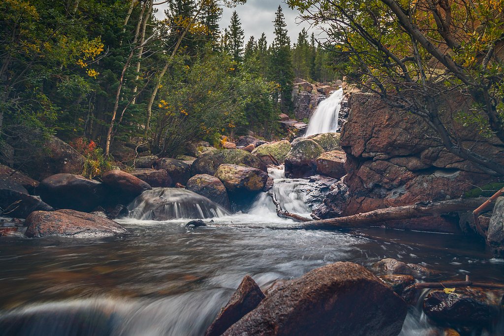
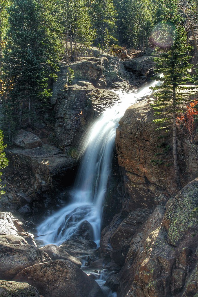
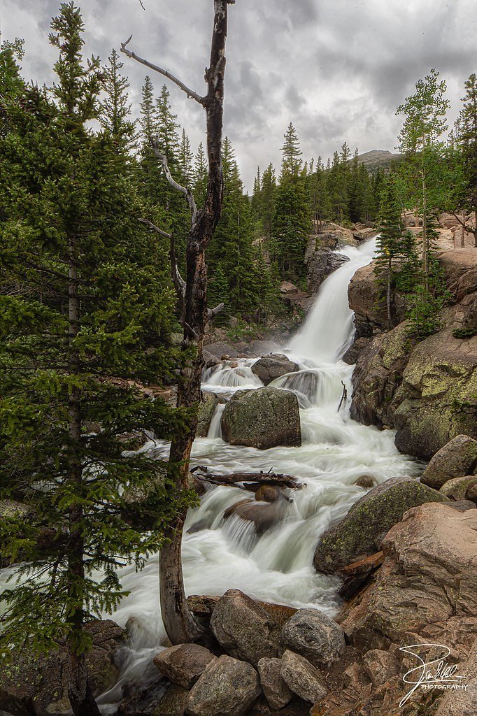

Photo Credits (5)
Difficulty
Easy
Trail Length
1.6 miles
Trail Type
Out And Back
Elevation Gain
200 ft
About Alberta Falls
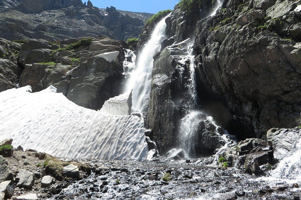
Alberta Falls is a compact, photogenic 30-foot cascade tucked into the montane forests of Rocky Mountain National Park. The falls’ broad, tumbling flow pours over a rocky ledge amid stands of aspen and pine, creating a postcard-worthy scene that draws day-hikers and photographers year-round. Managed by the National Park Service, Alberta Falls is one of the park’s most accessible waterfall highlights and an inviting stop on a shorter outing in the valley.
The Setting
Alberta Falls sits at 9,406 feet within Rocky Mountain National Park, in the high alpine of Colorado. The falls drop 30 feet.
Height: 30 feet
Trail & Hike Details
The Approach
The easy 1.6-mile out-and-back trail gains 200 feet of elevation on the way to the falls.
Trail Description
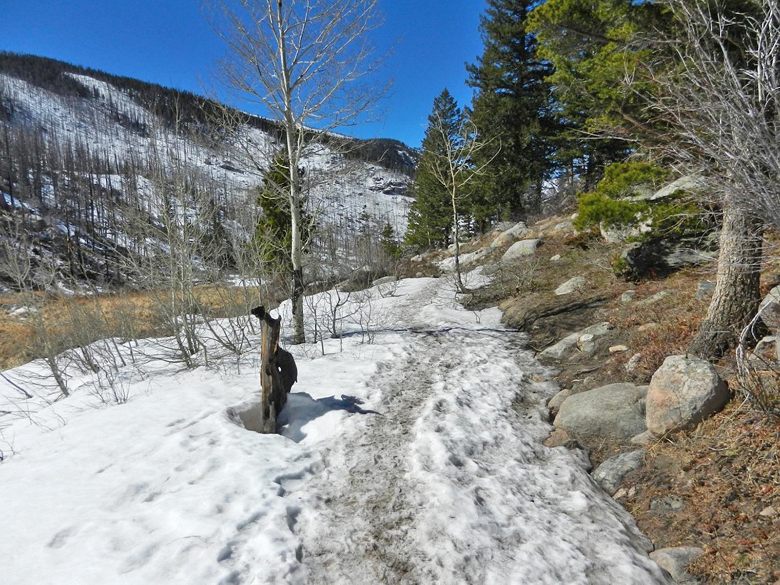
Trail length: 1.6 miles round-trip. Elevation gain: ~200 feet. Difficulty: Easy. Trail type: Out-and-back. Located inside Rocky Mountain National Park and maintained by the National Park Service, the route to Alberta Falls follows a well-defined footbed through aspen and pine. The surface is mostly compact dirt with occasional rocky sections and short, gentle pitches; the overall grade is mild and the trail is non-technical, making it suitable for families and casual hikers. Expect a few short rocky approaches near viewpoints of the falls.
What to Expect
The falls drop 30 feet.
Accessibility
The trail is not wheelchair accessible. Uneven terrain and elevation changes require steady footing.
Frequently Asked Questions
🐶 Are Dogs Allowed at Alberta Falls?
❌ Dogs are not allowed
Are There Any Fees or Permits Required?
🤑 Fee: $30.00
Permit required
Timed entry reservations are required to access Bear Lake Road during peak season (May through October).
🏊 Is There Swimming at Alberta Falls?
❌ Swimming is not allowed
When to Visit
The best time to visit Alberta Falls is in late spring or early summer when snowmelt increases the water flow. Fall is also a beautiful time to visit due to the changing colors of the aspen trees.
Seasonal Access
The best time to visit is Spring, Summer, and Fall. Access roads and trails may close during winter due to snow. Check with Rocky Mountain National Park for current conditions.
Safety Information
Be cautious of slippery rocks near the waterfall. Afternoon thunderstorms are common in summer, so plan your hike early in the day. Carry plenty of water and be prepared for sudden weather changes.
7-Day Flow Outlook
Based on the USGS gauge GRAND LAKE OUTLET BLW CHIPMUNK LN AT GRAND LK, CO (17 km away).
Best time of year: this gauge typically runs highest from early June to mid June, peaking in June.
How we calculate this
This is a transparent outlook, not a precise forecast. We take the waterfall's current flow strength (how it ranks against its historical normal for today, from the nearest USGS stream gauge), carry that ranking forward along the gauge's seasonal curve, and nudge it for forecast rain. Confidence is highest for the next day or two and falls further out. Always check official conditions and your own judgment before visiting — high flows can be dangerous.
Know when to go.
Get a free email alert when waterfalls near Estes Park hit peak flow. We only send when conditions are worth the trip — no weekly newsletters, no spam.
Weather Forecast
The Terrain, Seen by LiDAR
Aircraft-mounted lasers measured this ground to within inches. Trees and buildings are digitally stripped away, leaving the bare shape of the land the water has carved.
1-meter lidar shows the creek losing roughly 99 feet through Alberta Falls over a long run of ledges. Only part of that is the waterfall, which is listed at 30 feet; the rest is the canyon carrying on downstream. Elevation at the pin is about 9,442 feet.
The ground changes about 95 feet in the 500 feet above the falls and 53 feet in the 500 feet below. The falls face north and stay mostly shaded, with soft, even light all day.
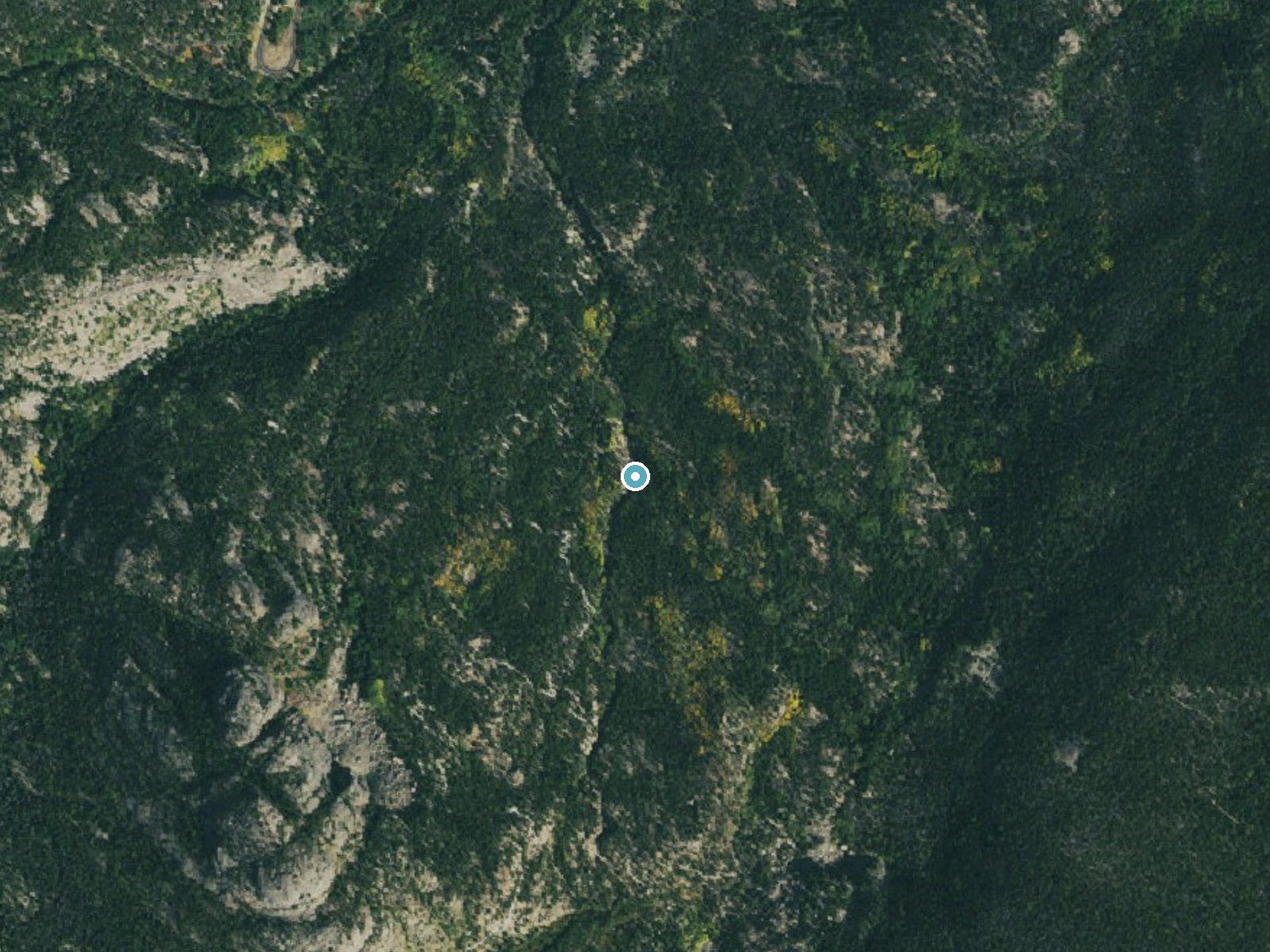
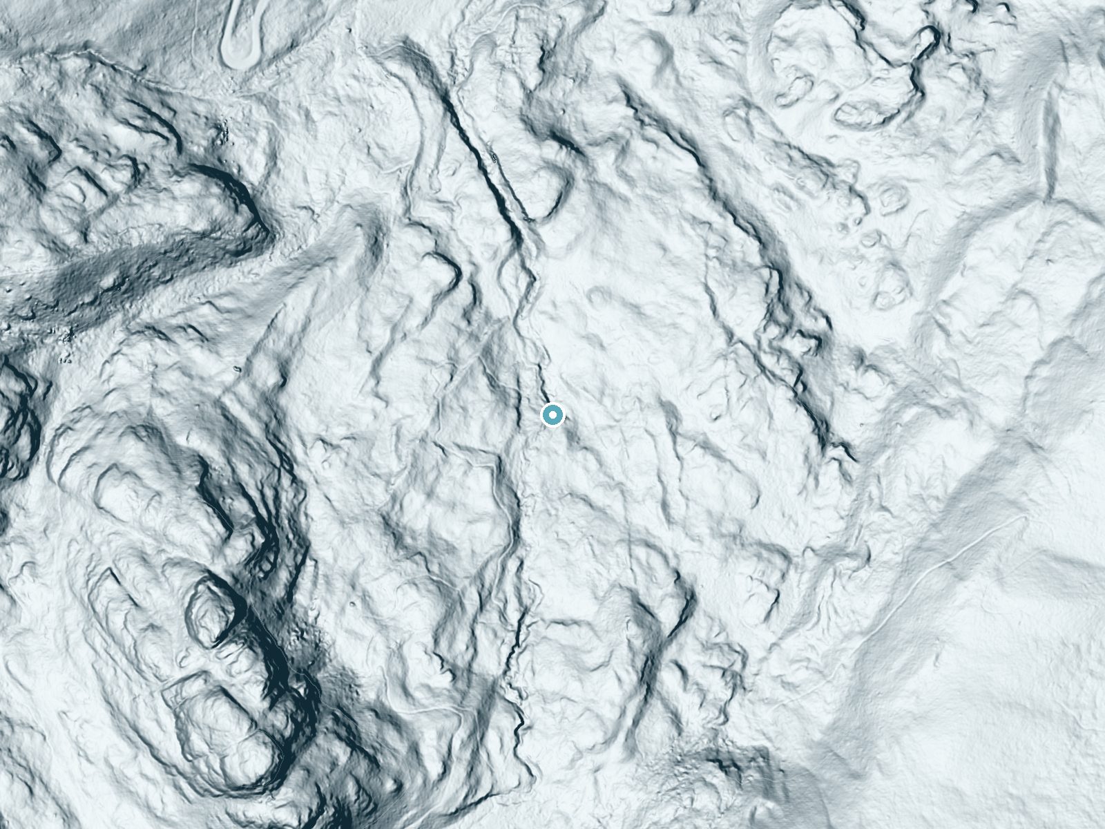
Drag to compare. The dot marks the waterfall. The frame is about a mile across.
- Ground elevation
- 9,442 feet
- Measured by 1-meter lidar
- Drop at the falls
- About 99 feet
- Change in ground height within ~250 feet of the falls
- Faces
- North
- Mostly shaded, so the light stays soft and even all day.
A slice through the lidar ground surface, from above the falls to downstream (heading north).
Elevation data: USGS 3D Elevation Program. Aerial imagery: USGS The National Map. Public domain.
Location & Access
Getting There
Alberta Falls is accessed via the Glacier Gorge Trailhead in Rocky Mountain National Park. The trailhead is located off Bear Lake Road, which is about 8 miles from the Beaver Meadows Entrance Station.
Get Directions on Google MapsParking
Parking is available at the Glacier Gorge Trailhead, but it can fill up quickly, especially during peak seasons. Additional parking is available at the Bear Lake Trailhead with shuttle service to Glacier Gorge.
Elevation
9,406 feet above sea level
Coordinates
40.303524° N, -105.637970° W
Visitor Tips & Gear
Arrive early in the morning to secure parking and avoid crowds. Wear sturdy shoes as the trail can be uneven in places. Bring water and sunscreen, especially during summer months.
This trail sits at 9,406 ft — the air is noticeably thinner
High AltitudeSome visitors experience headaches, fatigue, or shortness of breath at this elevation. Take it slow, stay hydrated, and consider supplemental oxygen if you're coming from a lower altitude.
As an Amazon Associate, we earn from qualifying purchases.

Coppertone Sport SPF 50 Sunscreen
UV intensity jumps ~4% per 1,000 ft — at this elevation you can burn in half the time.

Sun Bum SPF 30 Lip Balm (3-Pack)
Lips have almost no natural UV protection and burn fast in thin, dry mountain air.

Liquid I.V. Electrolyte Packets
You lose moisture ~2x faster at elevation — electrolytes help you absorb water efficiently.

ROCKNIGHT Polarized UV400 Sunglasses
High-altitude glare off rock and water is intense — UV400 lenses block 99%+ of UVA/UVB.

Boost Oxygen 10L Canister (2-Pack)
Portable supplemental oxygen for quick relief from headaches and shortness of breath.

Altitude Rx OxyBoost Complex
Antioxidant formula designed to support your body's natural altitude acclimation.
As an Amazon Associate, we earn from qualifying purchases.
This easy 1.6 miles hike is straightforward — comfortable trail shoes and plenty of water should do. Sun exposure on the trail makes good sun protection a must in summer.

Polarized Sunglasses (Knockaround)
Cuts glare off the water so you actually see the falls — and your photos turn out better too.

Columbia Watertight II Rain Jacket
Packs into its own pocket, seam-sealed, and keeps you dry from spray and surprise rain.

Earth Pak Waterproof Dry Bag
Keeps your phone and gear dry when waterfall mist soaks everything else.

Waterproof Phone Pouch (AiRunTech)
Cheap insurance — take photos right next to the falls without killing your phone.

JOBY GorillaPod Starter Kit
Wraps around railings and rocks for long-exposure waterfall shots — no flat surface needed.

Osprey Daylite Daypack
Light, organized, and just the right size for a day hike — fits water, snacks, and layers.
Where to Stay
Riversong Inn Retreat
Boulder Brook on Fall River
Murphy's River Lodge
Taharaa Mountain Lodge
Browse vacation cabins and private rentals nearby
Unique outdoor stays — tents, yurts, and treehouses
Rent a campervan or RV for your waterfall road trip
Some links are affiliate links. We may earn a commission at no extra cost to you.
Nearby Campground
CAMP DICK
13.6 miles away · 42 sites
Overview Camp Dick is the site of a Civilian Conservation Corps camp that was established in the 1930s. It is located just off the Peak to Peak Scenic Byway, on the Middle Saint Vrain Creek.Recreation The Middle Saint Vrain Creek is a good fly-fishing stream where anglers cast for rainbow, brown and cutthroat trout. Many trails in the vicinity are open to hiking and biking, including Sourdough and Buchanan Pass trails. The Indian Peaks Wilderness boundary is four miles from the west end of the ca
Book on Recreation.govNearby Hot Springs
Hot springs near Nederland, Colorado

Hot Sulphur Springs
Hot Sulphur Springs flows at 111°F along Parshall Divide Road in Grand County, emerging just 58 feet from the pavement in the s...

Idaho Springs
Idaho Springs surfaces at 115°F in Clear Creek County at 7,682 feet elevation, emerging near Soda Creek Road just 273 feet from...

Eldorado Springs
Eldorado Springs emerges at 79 degrees Fahrenheit in Boulder County's foothills as a low-mineralization thermal seep just 9 met...
Radium Hot Springs (Colorado)
Radium Hot Springs flows at approximately 104°F on Colorado State Wildlife property, situated roughly halfway between Kremmling...

Radium Hot Springs
Radium Hot Springs emerges on Bureau of Land Management property in the Upper Colorado River Special Recreation Management Area...
Looking for a soak after your hike? Explore more hot springs near Nederland, Colorado on SoakingSprings.
Explore Colorado springsAdditional Information
Nearby Attractions
Bear Lake, Glacier Gorge, Dream Lake, and Emerald Lake are all nearby and accessible via connecting trails.
Wildlife
Visitors may encounter wildlife such as elk, mule deer, chipmunks, and various bird species. Always maintain a safe distance from wildlife.
Cities near Alberta Falls
Nearby Waterfalls
Writing about Alberta Falls? Embed this waterfall on your site for free.