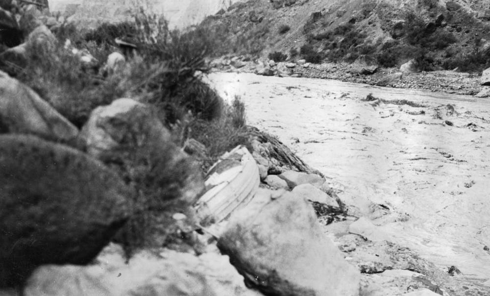

Photo Credits (5)
Difficulty
Drive Up
About Marble Falls
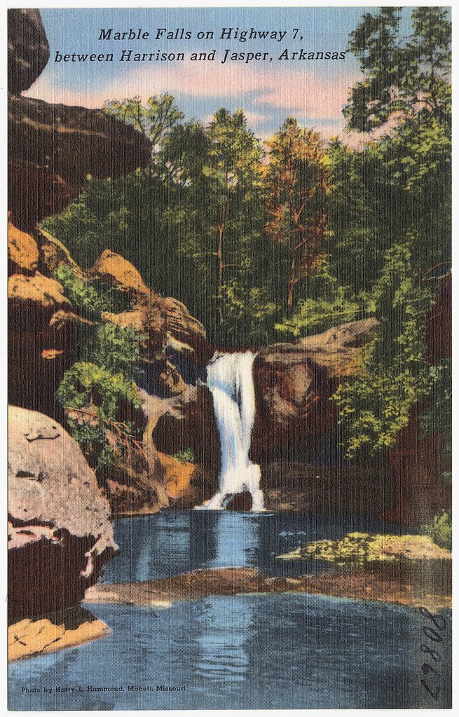
Marble Falls is a small but photogenic cascade tucked near the unincorporated community of Marble Falls in Newton County, Arkansas. The falls sit along Arkansas’s National Scenic 7 Byway between Harrison and Jasper, and are most dramatic after rainfall when the stream runs higher. The waterfall lies on private property, so visitors should plan to admire it from the roadside viewpoint and respect landowner boundaries — access onto the property may be restricted. The nearby community has an interesting local history: Marble Falls was known as Marble City (1840–1883), Willcockson (1883–1934), and for a time was called Dogpatch (1966–1997) to promote the Dogpatch USA theme park; the Marble Falls post office is still located in the former Dogpatch USA parking lot. For hikers and campers, Ozark Campground is about 5.29 km away, offering a convenient overnight option if you want to explore the Scenic 7 corridor further.
Trail & Hike Details
The Approach
No hiking required. Marble Falls is accessible by vehicle with a roadside viewing area.
Trail Description
Reported route: out-and-back, approximately 2.4 miles round trip with about 350 feet of elevation gain; difficulty: moderate. There is no named USFS trail number or official USFS surface/grade/class data provided for the approach. Many visitors view Marble Falls from the roadside; any off-road approach may cross private land, so obtain permission before leaving public right-of-way and be prepared for an informal route rather than a maintained Forest Service trail.
What to Expect
Visitors can expect a beautiful view of the waterfall from the road, especially after rainfall. However, access to the base of the falls is not guaranteed due to private property restrictions.
Accessibility
This waterfall is viewable from a vehicle-accessible area. No hiking is required.
Frequently Asked Questions
🐶 Are Dogs Allowed at Marble Falls?
❌ Dogs are not allowed
Are There Any Fees or Permits Required?
🆖 No fees required
🏊 Is There Swimming at Marble Falls?
❌ Swimming is not allowed
When to Visit
The best time to visit is after periods of rainfall, particularly in spring or fall, when the waterfall is most active.
Seasonal Access
The best time to visit is Spring, Summer, and Fall. Winter access may be limited.
Safety Information
Be cautious of traffic when stopping along the roadside to view the falls. Do not attempt to access the waterfall without permission from the property owner.
Know when to go.
Get a free email alert when waterfalls near Jasper hit peak flow. We only send when conditions are worth the trip — no weekly newsletters, no spam.
Weather Forecast
The Terrain, Seen by LiDAR
Aircraft-mounted lasers measured this ground to within inches. Trees and buildings are digitally stripped away, leaving the bare shape of the land the water has carved.
Through the falls the surface drops roughly 132 feet over a short, steep run of tiers. Elevation at the pin is about 961 feet.
The ground changes about 177 feet in the 500 feet above the falls and 58 feet in the 500 feet below. The falls face west and glow in afternoon and evening light.
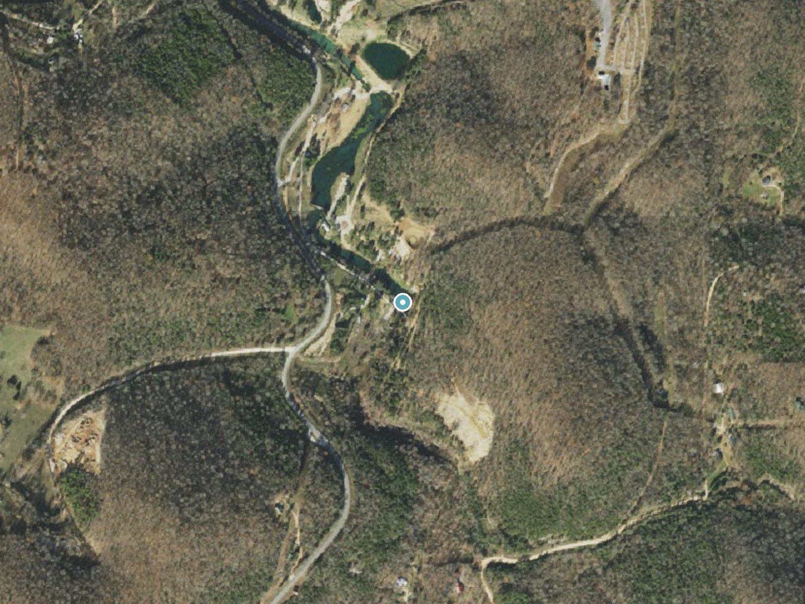
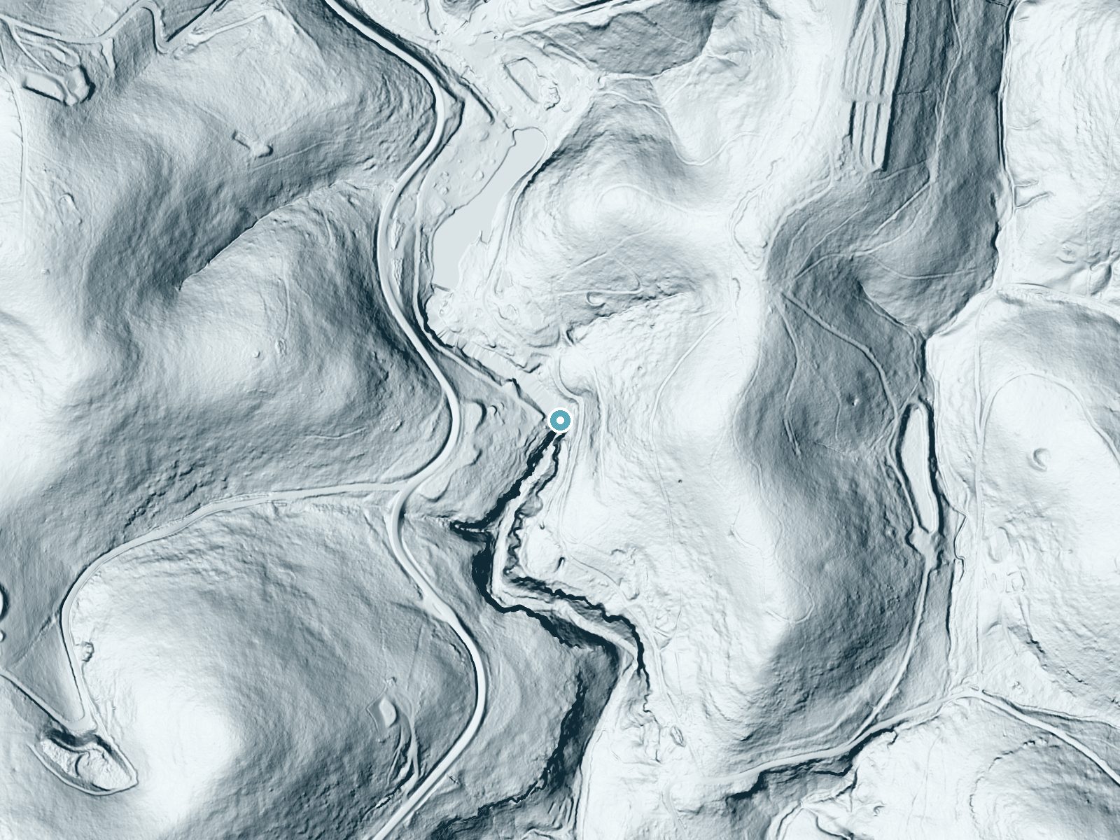
Drag to compare. The dot marks the waterfall. The frame is about a mile across.
- Ground elevation
- 961 feet
- Measured by 1-meter lidar
- Drop at the falls
- About 132 feet
- Change in ground height within ~250 feet of the falls
- Faces
- West
- Glows in afternoon and evening light.
A slice through the lidar ground surface, from above the falls to downstream (heading west).
Elevation data: USGS 3D Elevation Program. Aerial imagery: USGS The National Map. Public domain.
Location & Access
Getting There
Marble Falls is located off Highway 7, near the town of Marble Falls, Arkansas. The waterfall is visible from the road, but access to the base may be restricted as it is on private property.
Get Directions on Google MapsParking
There is limited roadside parking available near the waterfall, but visitors should be cautious and ensure they are not trespassing on private property.
Elevation
961 feet above sea level
Coordinates
36.103026° N, -93.129593° W
Visitor Tips & Gear
Check local information or ask nearby residents about access policies before visiting. Avoid trespassing and respect private property signs.
Where to Stay
Super 8 by Wyndham Harrison AR
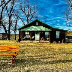
Butterfly Ridge Cabin - At the Top of the Canyon

Quality Inn Harrison North
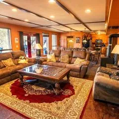
Buffalo River Misty Creek Lodge
Browse vacation cabins and private rentals nearby
Unique outdoor stays — tents, yurts, and treehouses
Rent a campervan or RV for your waterfall road trip
Some links are affiliate links. We may earn a commission at no extra cost to you.
Nearby Campground
Ozark Campground
3.3 miles away · 32 sites
Overview Nestled near the towering bluffs of the scenic Buffalo River, Ozark Campground is the perfect destination for a relaxing day outdoors. Whether you're planning a laid-back picnic or looking for a spot to enjoy the dark night sky, you'll enjoy fresh air, beautiful views, and easy access to one of Arkansas’s most beloved rivers.At Ozark Campground visitors that bring their own gear can enjoy:CanoeingKayakingTubingSwimmingFishingLocated in the center of the campground, the Ozark Pavilion pro
Book on Recreation.govAdditional Information
Nearby Attractions
Buffalo National River, Mystic Caverns, and the town of Jasper are nearby attractions worth exploring.
Wildlife
The area around Marble Falls is home to various bird species, deer, and other wildlife typical of the Ozark region.
Cities near Marble Falls
Other waterfalls named Marble Falls
1 other waterfall shares this name across the U.S.
Writing about Marble Falls? Embed this waterfall on your site for free.