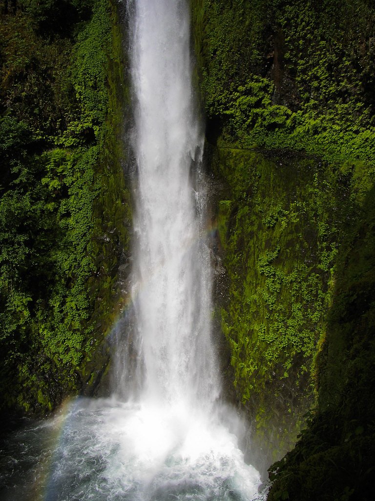
Lower Soda Falls
By Armen Suny · Last verified Mar 2026

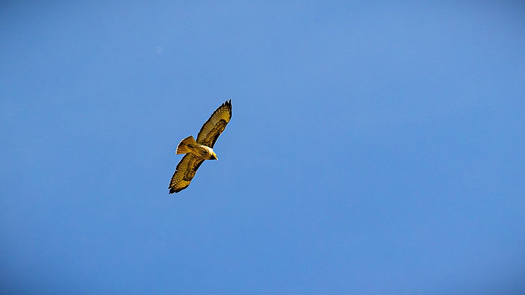
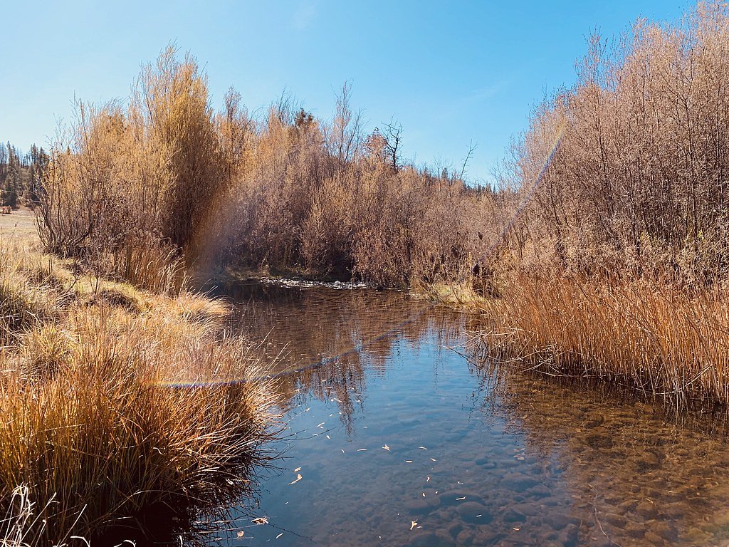
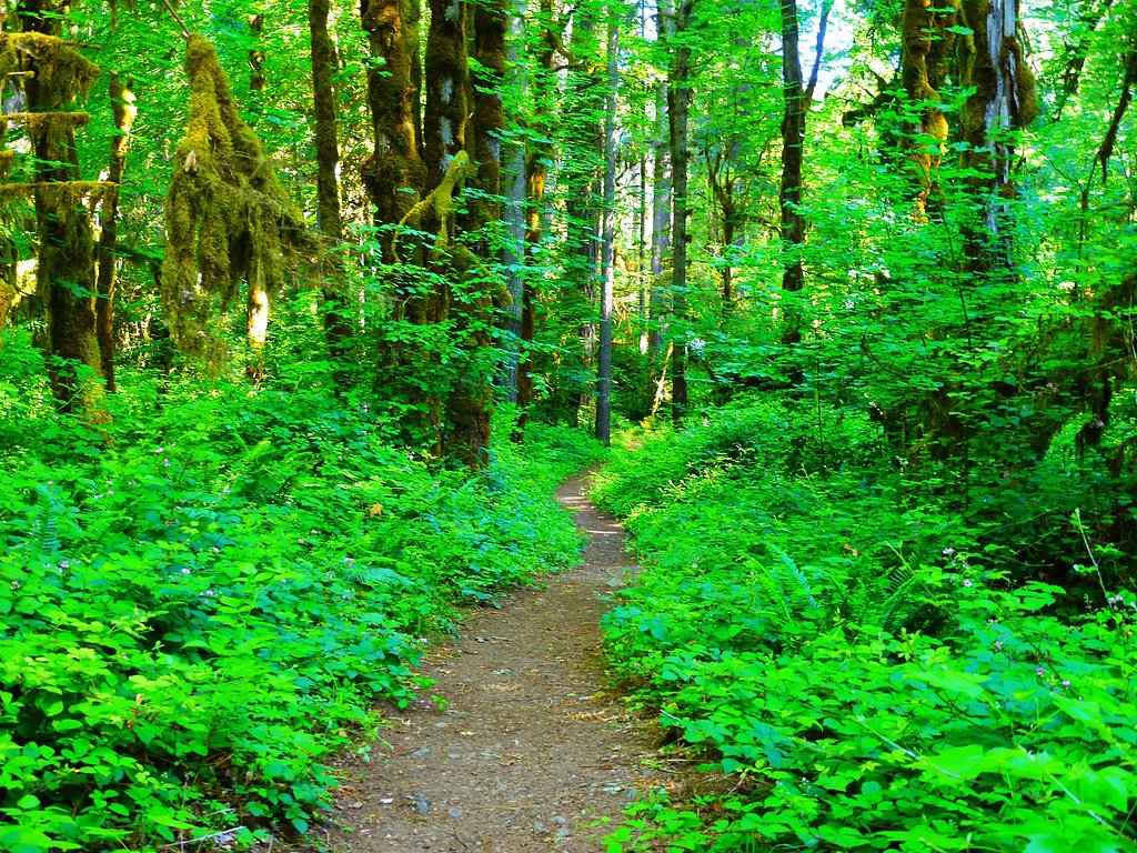
Photo Credits (5)
Difficulty
Moderate
Trail Length
2.4 miles
Trail Type
Out And Back
Elevation Gain
350 ft
About Lower Soda Falls
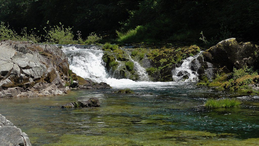
Lower Soda Falls sits in the Soda Springs area of Oregon, a modest but charming cascade tucked into lush forest. The falls are located within the Cascadia State Park land unit (land owner: SPR, designation: LP) and are managed by the city, giving the site a quietly maintained, local-park feel. Rather than a towering plunge, Lower Soda Falls offers an intimate, shaded setting where water threads over rock and sunlight filters through the canopy. The site is an easy destination for photographers and hikers seeking a short escape into nature. For overnight visitors, the Longbow Organization Group campground lies about 8.82 km away, making it simple to combine a visit to the falls with nearby camping. Expect a peaceful viewing area near the base of the falls and a relaxed, wooded atmosphere that rewards a brief hike.
The Setting
Lower Soda Falls sits at 1,358 feet within Cascadia State Park, fed by the South Santiam River, in the foothills of Oregon.
Trail & Hike Details
The Approach
The moderate 2.4-mile out-and-back trail gains 350 feet of elevation on the way to the falls.
Trail Description
The route to Lower Soda Falls is an out-and-back trail of approximately 2.4 miles round trip with about 350 feet of elevation gain and is rated moderate. The path winds through forested terrain on a defined footpath and leads to a viewing point near the base of the waterfall; the elevation gain produces a few steady uphill stretches even though much of the walk feels sheltered under trees. Official USFS trail surface, grade, and trail number are not provided for this route, but it is commonly described as a well-marked park trail suitable for hikers comfortable with a moderate grade. Camping is nearby—the Longbow Organization Group campground is roughly 8.82 km from the trailhead—so the falls work well as a day stop or as part of a longer overnight outing.
What to Expect
Dogs are welcome.
Accessibility
The trail is not wheelchair accessible. Uneven terrain and elevation changes require steady footing.
Frequently Asked Questions
🐶 Are Dogs Allowed at Lower Soda Falls?
✅ Dogs are allowed
Are There Any Fees or Permits Required?
🆖 No fees required
🏊 Is There Swimming at Lower Soda Falls?
❌ Swimming is not allowed
When to Visit
Spring and early summer are ideal times to visit when water flow is at its peak. Fall offers beautiful foliage, while winter may bring icy conditions.
Seasonal Access
The best time to visit is Spring, Summer, and Fall. Winter access may be limited.
Safety Information
The trail and surrounding rocks may be slippery, especially after rain. Visitors should exercise caution and stay on marked paths. Be aware of potential wildlife encounters.
Current Water Conditions
164 ft³/s
Current discharge — how much water is flowing
Lower than usual for this time of year
Based on 90 years of record
2.68 ft
Water depth at gauge
57°F
ColdBracing — limit time in water
7-Day Discharge Trend
What does this mean for your visit?
Flow is lower than usual for this time of year. Water temperature is a bracing 57 degrees F, limit your time in the water. Expect crystal clear visibility and excellent dissolved oxygen levels.
Water Quality
Dissolved Oxygen
ExcellentSupports aquatic life
Water Clarity
Crystal clearExcellent visibility
About This Gauge
7-Day Flow Outlook
Based on the USGS gauge SOUTH SANTIAM RIVER BELOW CASCADIA, OR (3 km away).
Today
Roaring
173 cfs
6/10Tomorrow
Roaring
168 cfs
6/10Mon
Roaring
165 cfs
6/10Tue
Roaring
156 cfs
6/10Wed
Roaring
136 cfs
9/10Thu
Roaring
141 cfs
6/10Fri
Roaring
142 cfs
6/10Best window: Wed — roaring flow, partly sunny (trip score 9/10).
Best time of year: this gauge typically runs highest from late March to late April, peaking in January.
How we calculate this
This is a transparent outlook, not a precise forecast. We take the waterfall's current flow strength (how it ranks against its historical normal for today, from the nearest USGS stream gauge), carry that ranking forward along the gauge's seasonal curve, and nudge it for forecast rain. Confidence is highest for the next day or two and falls further out. Always check official conditions and your own judgment before visiting — high flows can be dangerous.
Know when to go.
Get a free email alert when waterfalls near Cascadia hit peak flow. We only send when conditions are worth the trip — no weekly newsletters, no spam.
Weather Forecast
Location & Access
Getting There
Lower Soda Falls is located near the Soda Springs Dam in the Umpqua National Forest. Visitors can access the area via Soda Springs Road, which is off Highway 138, also known as the Rogue-Umpqua Scenic Byway.
Get Directions on Google MapsParking
There is limited parking available near the trailhead or access point. Visitors should plan to arrive early during peak seasons to secure a spot.
Elevation
1,358 feet above sea level
Coordinates
44.407799° N, -122.475364° W
Land Management
Managed by CITY
Visitor Tips & Gear
Wear sturdy shoes as the trail may be muddy or slippery. Bring a camera to capture the scenic beauty. Arrive early to avoid crowds and secure parking.
As an Amazon Associate, we earn from qualifying purchases.
With 2.4 miles and 350 ft of elevation gain, sturdy boots and trekking poles will help on this moderate trail. Sun exposure on the trail makes good sun protection a must in summer.

Polarized Sunglasses (Knockaround)
Cuts glare off the water so you actually see the falls — and your photos turn out better too.

Columbia Watertight II Rain Jacket
Packs into its own pocket, seam-sealed, and keeps you dry from spray and surprise rain.

Earth Pak Waterproof Dry Bag
Keeps your phone and gear dry when waterfall mist soaks everything else.

Waterproof Phone Pouch (AiRunTech)
Cheap insurance — take photos right next to the falls without killing your phone.

Timberland Euro Sprint Mid Waterproof
Trusted waterproof boot with premium leather and grippy rubber sole — reliable on rocky, wet trails.

TrailBuddy Trekking Poles
Lightweight aluminum, cork grips, and flip-locks that actually hold — a best-seller for good reason.
Where to Stay

Sweet Home Inn

Foster Lake Inn

Best Western Premier Boulder Falls Inn

Shanico Inn
Browse vacation cabins and private rentals nearby
Unique outdoor stays — tents, yurts, and treehouses
Rent a campervan or RV for your waterfall road trip
Some links are affiliate links. We may earn a commission at no extra cost to you.
Nearby Campground
LONGBOW ORGANIZATION GROUP
5.5 miles away · 1 sites
Overview The group site has 6 alpine shelters with fireplaces and capacity to sleep 48. All of the shelters are facing the river and no tents or trailers are allowed. This group site also includes a covered dining hall with cooking area, fireplace and capacity to seat 40 people. An amphitheater that seats up to 75 is located near the volleyball court. The campground has one accessible double vault toilet and one handpump well to provide potable water. Parking is limited; maximum of 50 people
Book on Recreation.govNearby Hot Springs
Hot springs near Cascadia, Oregon

Bigelow Hot Springs
Bigelow Hot Springs, also called Deer Creek Hot Springs, emerges at 142°F just 400 feet from Deer Creek Road in the Willamette ...

Cougar Reservoir Hot Springs
Cougar Reservoir Hot Springs, widely known as Terwilliger Hot Springs, flows at 111 degrees Fahrenheit with roadside access req...
Foley Springs
Foley Springs emerges at 178°F in the Cascade Range of Lane County, making it one of Oregon's hottest thermal features with rec...
Belknap Springs
Belknap Springs flows at 160°F along the McKenzie River in the Cascade Range, emerging just 510 feet from North Belknap Springs...
Wall Creek Warm Springs
Wall Creek Warm Springs flows at 106°F deep within Willamette National Forest at 2,362 feet elevation on the western Cascades s...

Bagby Hot Springs
Bagby Hot Springs flows at 136°F deep in Mount Hood National Forest at 2,272 feet elevation, requiring a 3,720-foot hike from F...
Looking for a soak after your hike? Explore more hot springs near Cascadia, Oregon on SoakingSprings.
Explore Oregon springsAdditional Information
Nearby Attractions
Nearby attractions include Toketee Falls, Watson Falls, and the Umpqua Hot Springs.
Wildlife
The area is home to various wildlife, including birds, deer, and small mammals. Visitors should be cautious of potential encounters with bears or other larger animals.
Cities near Lower Soda Falls
Nearby Waterfalls
Writing about Lower Soda Falls? Embed this waterfall on your site for free.