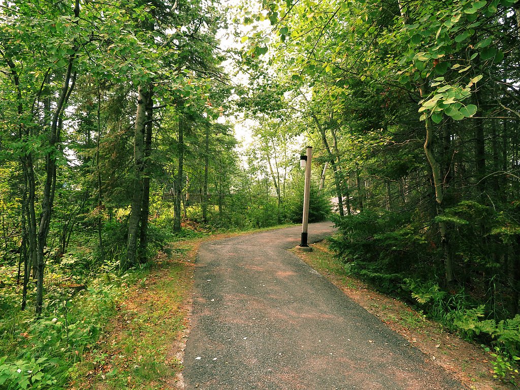
Photo Credits (5)
Difficulty
Easy
Trail Length
2.0 miles
Trail Type
Out And Back
About Loon Falls
Loon Falls is a quietly scenic cascade tucked into the Boundary Waters Canoe Area Wilderness, offering a peaceful escape amid Minnesota’s forested backcountry. Nestled on land owned by DESG and managed by the U.S. Forest Service (the area is designated as wilderness, WA), the falls are a lesser-known draw for hikers seeking solitude and the slow rhythm of water over rock. The setting feels remote and contemplative — an ideal short outing for those who enjoy simple, natural waterfalls rather than developed viewpoints. Because Loon Falls sits inside a federally managed wilderness unit, expect a more primitive experience than at front-country parks: fewer signs, minimal facilities, and an emphasis on Leave No Trace travel. The trail’s modest length and moderate effort make it a good choice for day hikers who want a quiet nature walk with a rewarding endpoint, and the surrounding forest makes for enjoyable seasonal color in both spring and fall.
The Setting
Loon Falls sits at 1,158 feet within Boundary Waters Canoe Area Wilderness, in the foothills of Minnesota.
Trail & Hike Details
Trail Description
The U.S. Forest Service lists the route to Loon Falls as a 2.4-mile out-and-back trail with approximately 350 feet of elevation gain and a moderate difficulty rating. The hike follows a wilderness route through forested terrain within the Boundary Waters Canoe Area Wilderness; sections may be unmarked, so bring a map or GPS and basic navigation skills. Trail conditions are those of a backcountry path in a designated wilderness area—expect a natural tread and limited facilities rather than developed trail infrastructure.
What to Expect
Visitors can expect a peaceful hike through wooded terrain leading to a picturesque waterfall. The area is quiet and less crowded, making it ideal for those seeking solitude in nature.
Accessibility
The trail is not wheelchair accessible. Uneven terrain and elevation changes require steady footing.
Frequently Asked Questions
🐶 Are Dogs Allowed at Loon Falls?
❌ Dogs are not allowed
Are There Any Fees or Permits Required?
🆖 No fees required
🏊 Is There Swimming at Loon Falls?
❌ Swimming is not allowed
When to Visit
Spring and early summer are ideal for visiting Loon Falls, as the water flow is typically stronger during these seasons.
Seasonal Access
The best time to visit is Spring, Summer, and Fall. Winter access may be limited.
Safety Information
Visitors should be cautious of slippery rocks near the waterfall and uneven trail sections. Always stay on marked paths and avoid venturing too close to the water's edge.
Know when to go.
Get a free email alert when waterfalls near Tower hit peak flow. We only send when conditions are worth the trip — no weekly newsletters, no spam.
Weather Forecast
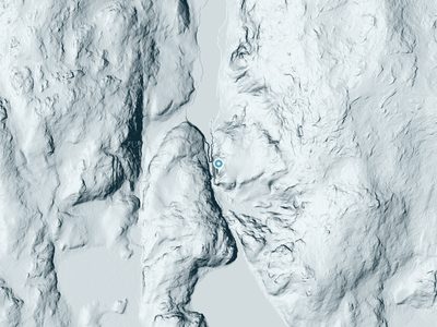
The Terrain, Seen by LiDAR
Aircraft-mounted lasers measured this ground to within inches. Trees and buildings are digitally stripped away, leaving the bare shape of the land the water has carved.
Here the descent is spread out: 1-meter lidar measures about 35 feet of drop through Loon Falls, stretched along the creek rather than stacked in one wall. The brink sits at about 1,165 feet above sea level.
The ground changes about 3 feet in the 500 feet above the falls and 23 feet in the 500 feet below. The falls face west and glow in afternoon and evening light.
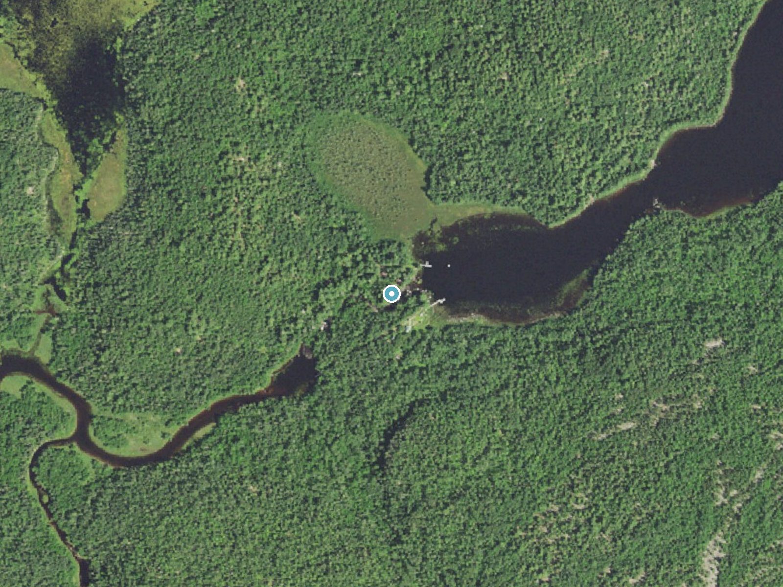
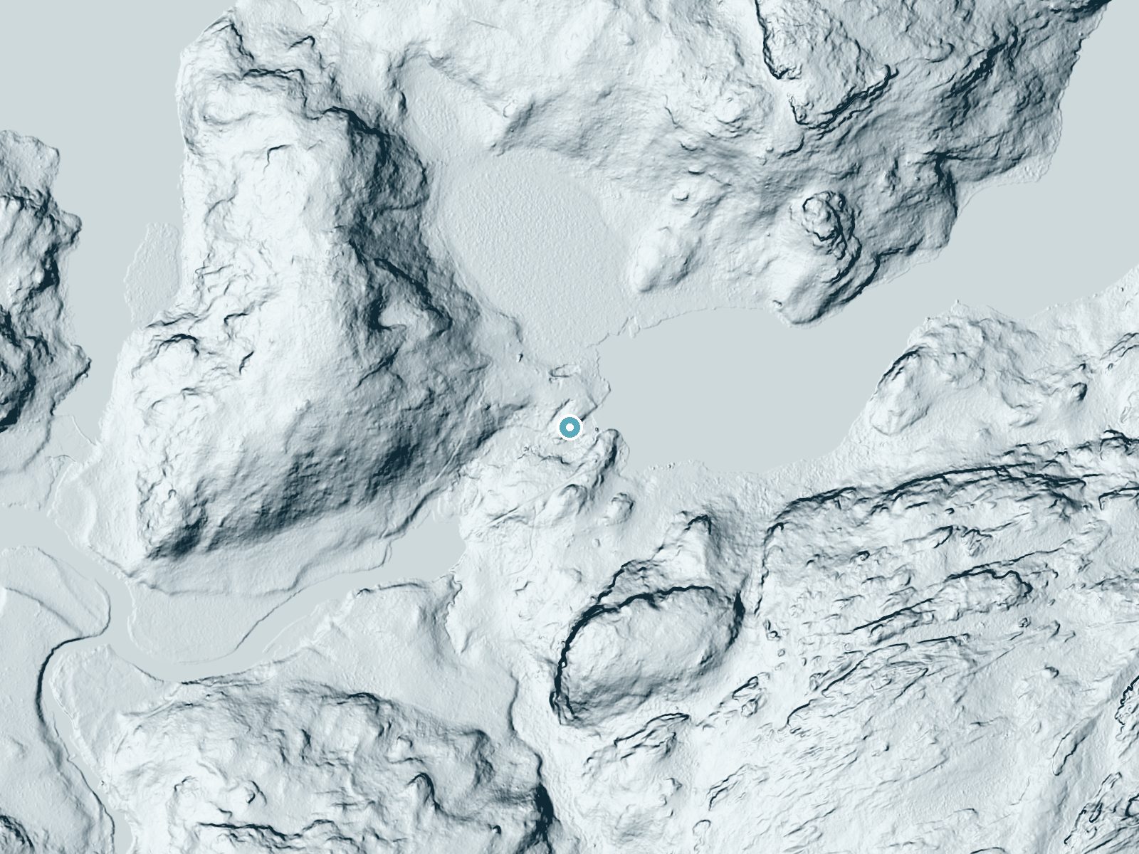
Drag to compare. The dot marks the waterfall. The frame is about a mile across.
- Ground elevation
- 1,165 feet
- Measured by 1-meter lidar
- Drop at the falls
- About 35 feet
- Change in ground height within ~250 feet of the falls
- Faces
- West
- Glows in afternoon and evening light.
A slice through the lidar ground surface, from above the falls to downstream (heading west).
Elevation data: USGS 3D Elevation Program. Aerial imagery: USGS The National Map. Public domain.
Location & Access
Getting There
Loon Falls is located in a remote area of Minnesota. Access details may vary, and visitors are encouraged to consult local maps or guides for the most accurate directions.
Get Directions on Google MapsParking
Parking availability is unclear, but visitors should prepare for limited or remote parking options near the trailhead.
Elevation
1,158 feet above sea level
Coordinates
48.236848° N, -92.325982° W
Land Management
Managed by USFS
Visitor Tips & Gear
Wear sturdy footwear as the trail may have uneven sections. Bring insect repellent, especially during the summer months, and carry water and snacks. Check weather conditions before your visit.
Where to Stay
Browse vacation cabins and private rentals nearby
Unique outdoor stays — tents, yurts, and treehouses
Rent a campervan or RV for your waterfall road trip
Some links are affiliate links. We may earn a commission at no extra cost to you.
Nearby Campground
JEANETTE LAKE
7.4 miles away · 14 sites
Overview Jeanette Lake Campground is a small, single-loop campground on a peninsula reaching out onto the glacier-carved Lake Jeanette in Superior National Forest. Originally built by the Civilian Conservation Corps in the 1930s, this sweet, picturesque campground is well worth the drive. The facility provides sites that are usually accessible to RVs and tent trailers along with tent-only and hike-in sites. Superior National Forest, located in northeastern Minnesota's arrowhead region, is compris
Book on Recreation.govAdditional Information
Nearby Attractions
Other natural attractions in the area may include hiking trails, lakes, and wildlife viewing opportunities.
Wildlife
The area around Loon Falls is home to a variety of wildlife, including birds, deer, and small mammals. Visitors should be mindful of their surroundings.
Cities near Loon Falls
Nearby Waterfalls
 LiDAR
LiDAR
 LiDAR
LiDAR
Writing about Loon Falls? Embed this waterfall on your site for free.