Little Creek Falls
By Armen Suny · Last verified Sep 2026
LiDAR & 3D terrain
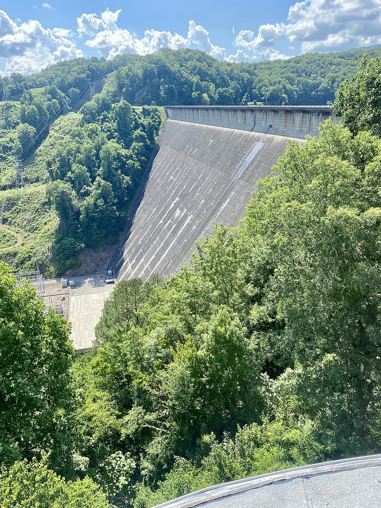
Photo Credits (5)
About Little Creek Falls
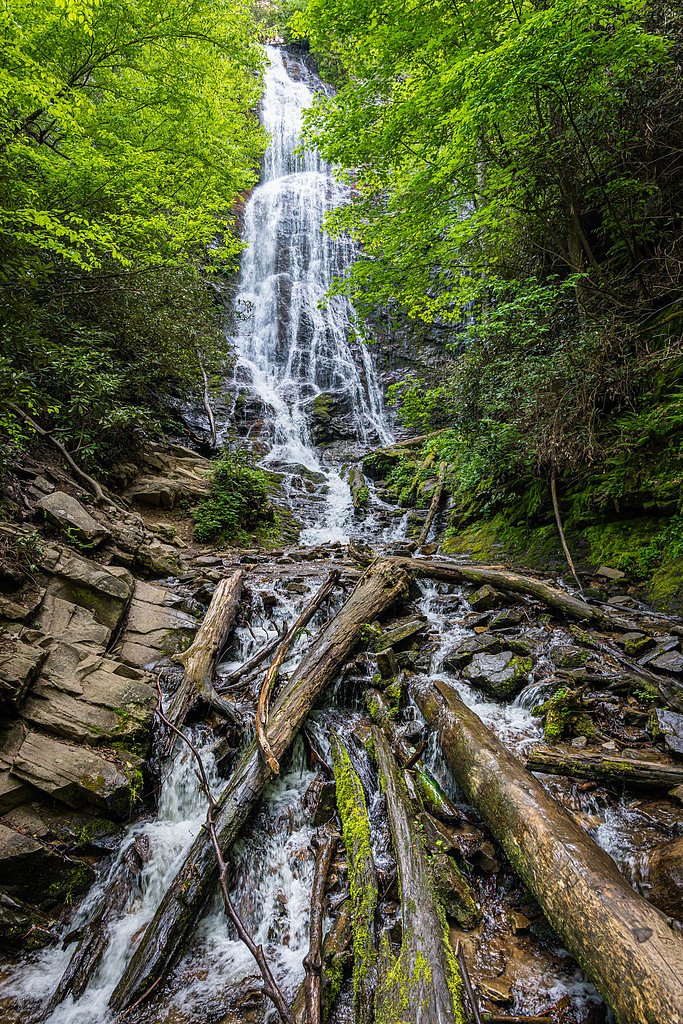
Little Creek Falls is a small, picturesque cascade tucked into the forested slopes of Great Smoky Mountains National Park. Managed by the National Park Service, the falls reward visitors with a quiet, scenic spot where water threads over rock amid mature hardwoods — an inviting pause for hikers, photographers, and anyone seeking a peaceful nature stop in western North Carolina. The most-used approach is a moderate out-and-back hike of about 2.4 miles with roughly 350 feet of elevation gain, making it accessible to many day hikers who are prepared for a moderate effort. Bring sturdy footwear for uneven trail sections, and note that the Deep Creek Picnic Pavilion — the nearest campground/picnic area — is approximately 7.9 km (about 4.9 miles) away if you plan to base a longer visit nearby.
The Setting
Little Creek Falls sits at 3,163 feet within Great Smoky Mountains National Park, fed by the Oconaluftee River, in the mountains of North Carolina.
Trail & Hike Details
Trail Description
Trail length: 2.4 miles (out-and-back). Elevation gain: ~350 feet. Difficulty: moderate. Trail type: out-and-back. The route runs through forested terrain within Great Smoky Mountains National Park (managed by the NPS). Expect natural trail surfaces and some uneven footing — wear appropriate footwear and be prepared for typical creekside trail conditions.
What to Expect
Visitors can expect a quiet and peaceful experience surrounded by nature. The waterfall is small but scenic, making it a great spot for photography or relaxation.
Accessibility
Accessibility information is not available. The trail may not be suitable for individuals with mobility challenges.
Frequently Asked Questions
🐶 Are Dogs Allowed at Little Creek Falls?
❌ Dogs are not allowed
Are There Any Fees or Permits Required?
🆖 No fees required
🏊 Is There Swimming at Little Creek Falls?
❌ Swimming is not allowed
When to Visit
Spring and fall are ideal times to visit due to pleasant weather and potentially higher water flow. Summer can also be enjoyable, but it may be warmer.
Seasonal Access
The best time to visit is Spring, Summer, and Fall. Winter access may be limited. Check the National Park Service website for current conditions.
Safety Information
Be cautious of slippery rocks and uneven terrain. Cell phone reception may be limited, so inform someone of your plans before visiting.
Current Water Conditions
238 ft³/s
Current discharge — how much water is flowing
About average for this time of year
Based on 80 years of record
1.38 ft
Water depth at gauge
62°F
CoolRefreshing for swimming
7-Day Discharge Trend
What does this mean for your visit?
Flow is about average for this time of year. Water temperature is a refreshing 62 degrees F, good for a quick swim. Expect crystal clear visibility and excellent dissolved oxygen levels. PH is normal at 6.8 and mineral content is typical.
Water Quality
Dissolved Oxygen
ExcellentSupports aquatic life
pH
NormalWithin healthy range (6.5-8.5)
Water Clarity
Crystal clearExcellent visibility
Conductance
Dissolved minerals in the water
About This Gauge
7-Day Flow Outlook
Based on the USGS gauge OCONALUFTEE RIVER AT BIRDTOWN, NC (5 km away).
Today
Low
238 cfs
5/10Tomorrow
Low
244 cfs
6/10Tue
Low
260 cfs
6/10Wed
Low
255 cfs
6/10Thu
Moderate
267 cfs
5/10Fri
Moderate
284 cfs
5/10Sat
Moderate
269 cfs
5/10Best window: Tomorrow — low flow, sunny (trip score 6/10).
Best time of year: this gauge typically runs highest from mid February to mid April, peaking in March.
How we calculate this
This is a transparent outlook, not a precise forecast. We take the waterfall's current flow strength (how it ranks against its historical normal for today, from the nearest USGS stream gauge), carry that ranking forward along the gauge's seasonal curve, and nudge it for forecast rain. Confidence is highest for the next day or two and falls further out. Always check official conditions and your own judgment before visiting — high flows can be dangerous.
Know when to go.
Get a free email alert when waterfalls near Cherokee hit peak flow. We only send when conditions are worth the trip — no weekly newsletters, no spam.
Weather Forecast
The Terrain, Seen by LiDAR
Aircraft-mounted lasers measured this ground to within inches. Trees and buildings are digitally stripped away, leaving the bare shape of the land the water has carved.
1-meter lidar measures about 280 feet of descent through Little Creek Falls, a steep tiered drop rather than a single free fall. The brink sits at about 3,151 feet above sea level.
Steep ground runs through the entire stretch: about 251 feet of descent in the 500 feet above the pin and 71 feet in the 500 feet below it. Facing south, the falls sit in full sun for most of the day, best photographed early or late.
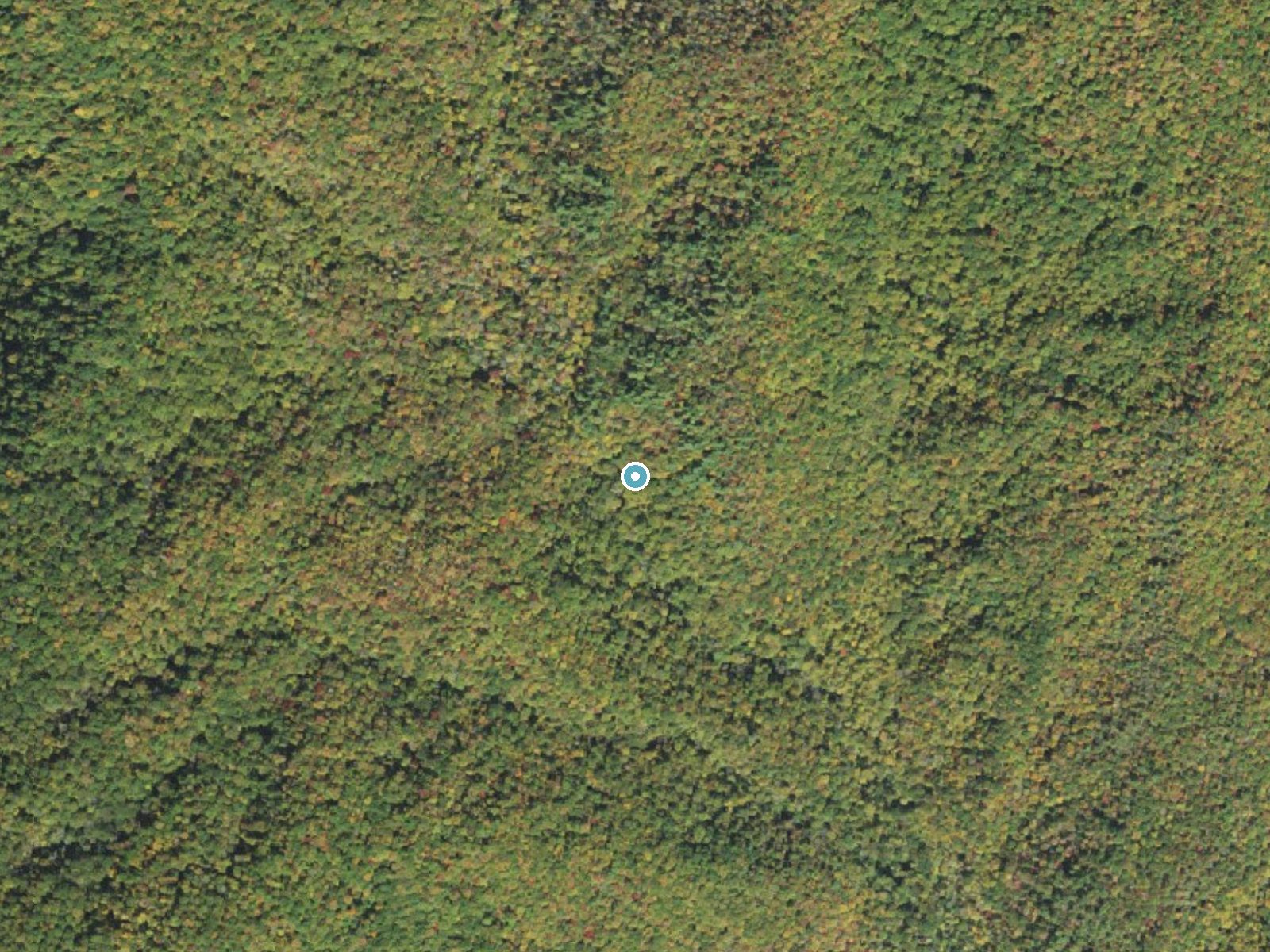
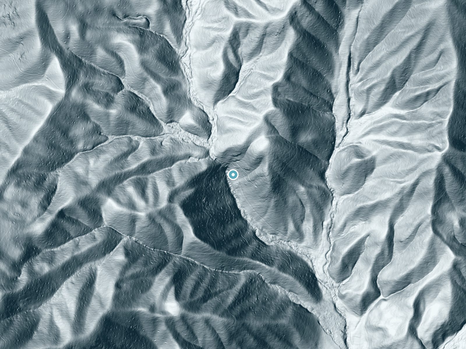
Drag to compare. The dot marks the waterfall. The frame is about a mile across.
- Ground elevation
- 3,151 feet
- Measured by 1-meter lidar
- Drop at the falls
- About 280 feet
- Change in ground height within ~250 feet of the falls
- Faces
- South
- Sunlit most of the day. Go early or late for softer light.
A slice through the lidar ground surface, from above the falls to downstream (heading south).
Elevation data: USGS 3D Elevation Program. Aerial imagery: USGS The National Map. Public domain.
Location & Access
Getting There
Little Creek Falls is located in a remote area of North Carolina. Access may require navigating rural roads, so it is recommended to use a reliable GPS or map. Specific directions to the trailhead are not widely documented.
Get Directions on Google MapsParking
Parking availability is uncertain, but visitors may find small pull-off areas near the trailhead. It is advisable to arrive early to secure a spot.
Elevation
3,163 feet above sea level
Coordinates
35.506209° N, -83.372378° W
Land Management
Managed by NPS
Visitor Tips & Gear
Bring plenty of water and snacks, as amenities are likely unavailable nearby. Be cautious of slippery rocks near the waterfall.
Where to Stay
Cozy Smoky Mtn Cabin Pointing to Fun and Relaxation
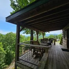
Bear Hug Cabin
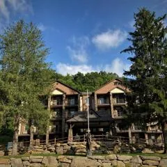
Stonebrook Lodge Bryson City
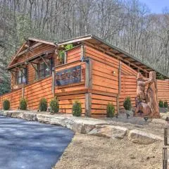
The Lodge Nantahala River
Browse vacation cabins and private rentals nearby
Unique outdoor stays — tents, yurts, and treehouses
Rent a campervan or RV for your waterfall road trip
Some links are affiliate links. We may earn a commission at no extra cost to you.
Nearby Campground
DEEP CREEK PICNIC PAVILION
4.9 miles away · 2 sites
Overview Deep Creek Picnic Pavilion, surrounded by pristine mountain streams and clear blue skies, is the perfect mountain backdrop for your party or family get-together. Whether blanketed in bright wildflowers in the spring or vivid colors in the fall, the scenery at Deep Creek never disappoints.Recreation Picnicking is the most popular activity at Deep Creek Pavilion, but visitors also enjoy an excursion to one of three scenic waterfalls in the nearby area. From Deep Creek Campground, walk Deep
Book on Recreation.govNearby Hot Springs
Hot springs near Cosby, North Carolina
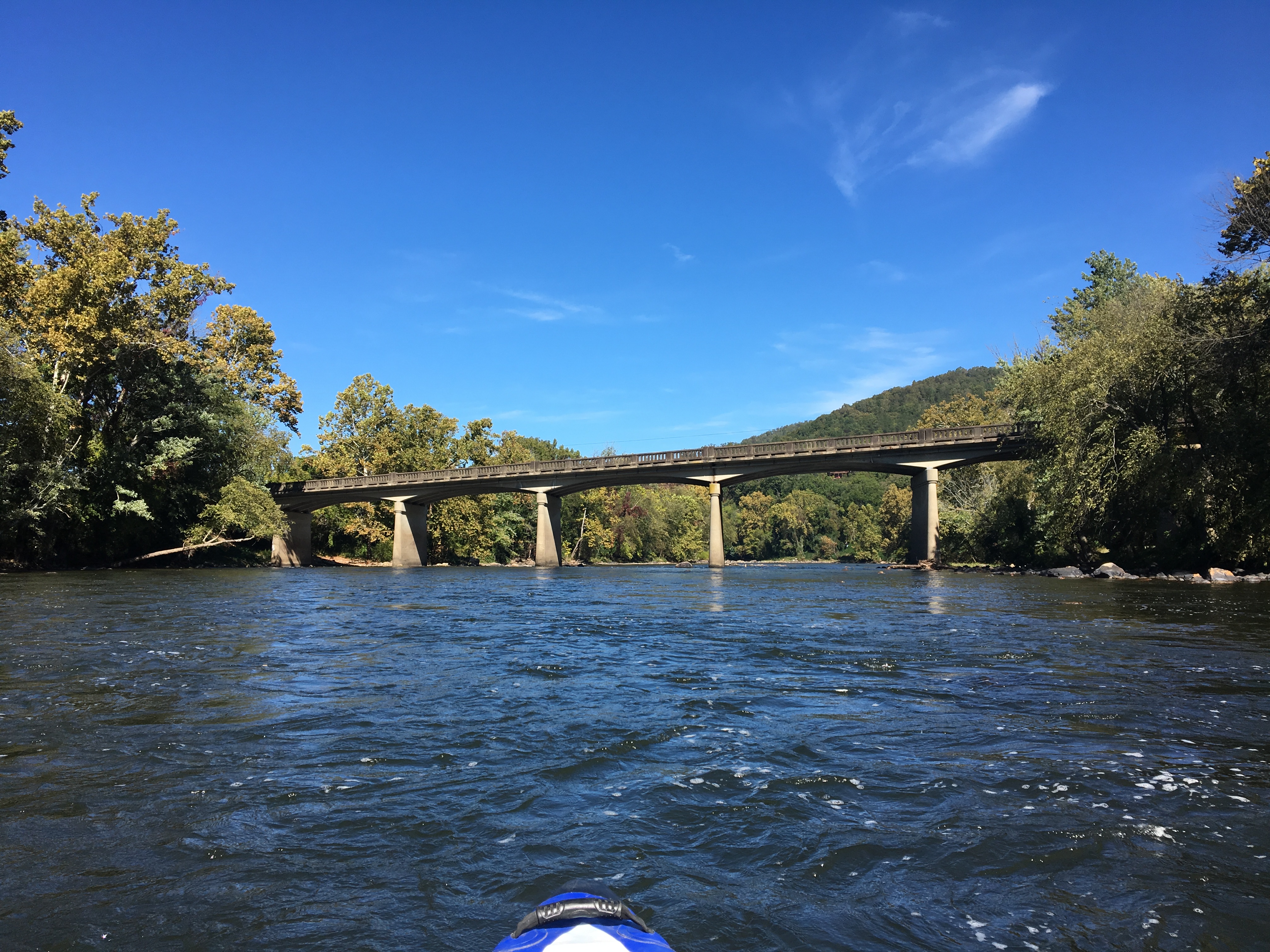
Looking for a soak after your hike? Explore more hot springs near Cosby, North Carolina on SoakingSprings.
Explore North Carolina springsAdditional Information
Nearby Attractions
Other natural attractions in North Carolina, such as hiking trails and scenic viewpoints, may be located nearby.
Wildlife
The area may be home to local wildlife such as birds, deer, and small mammals. Visitors should be respectful of the natural habitat.
Cities near Little Creek Falls
Nearby Waterfalls
Writing about Little Creek Falls? Embed this waterfall on your site for free.