Difficulty
Easy
Trail Length
2.5 miles
Trail Type
Out And Back
Elevation Gain
200 ft
About Kalama Falls
Kalama Falls is a peaceful cascade tucked into the old-growth reaches of Gifford Pinchot National Forest, where the Kalama River threads through a canopy of Douglas-fir and cedar. The falls offer a compact, scenic payoff—rippling water, moss-covered banks and the hush of forest—making it a perfect half-day escape for photographers and families seeking an easy outdoor outing. The approach is short and accessible: the out-and-back route is about 2.5 miles with roughly 200 feet of elevation gain, rated easy. Visitors should plan for a brief walk through dense forest that follows the river and leads to the waterfall viewpoint. The nearest developed camping is Sunset Falls Campground, about 33.3 km away, so plan accordingly for supplies and overnight stays.
The Setting
Kalama Falls sits at 1,329 feet along the Speelyai Creek, in the foothills of Washington.
Trail & Hike Details
The Approach
The easy 2.5-mile out-and-back trail gains 200 feet of elevation on the way to the falls.
Trail Description
Trail type: out-and-back, length: 2.5 miles, elevation gain: ~200 ft, difficulty: easy. The route is a short, well-maintained forest hike that follows the Kalama River through shaded timberland to the falls; expect minimal sustained grades and a mostly straightforward route suitable for most hikers and families. No USFS trail number or detailed surface/grade/class data was provided in the available information.
What to Expect
Dogs are welcome.
Accessibility
The trail is not wheelchair accessible. Uneven terrain and elevation changes require steady footing.
Frequently Asked Questions
🐶 Are Dogs Allowed at Kalama Falls?
✅ Dogs are allowed
Are There Any Fees or Permits Required?
🆖 No fees required
🏊 Is There Swimming at Kalama Falls?
❌ Swimming is not allowed
When to Visit
Spring and early summer are ideal times to visit, as the waterfall is typically at its fullest due to snowmelt. Fall offers beautiful foliage, while winter may provide a quieter experience, though trail conditions could be icy or snowy.
Seasonal Access
The best time to visit is Spring, Summer, Fall, and Winter.
Safety Information
Exercise caution near the waterfall, as rocks can be slippery. Be prepared for changing weather conditions, and check trail conditions before visiting, especially in winter.
Current Water Conditions
18 ft³/s
Current discharge — how much water is flowing
About average for this time of year
Based on 64 years of record
3.84 ft
Water depth at gauge
7-Day Discharge Trend
What does this mean for your visit?
Flow is about average for this time of year.
About This Gauge
This gauge is on a nearby waterway and may not reflect exact conditions at the falls.
7-Day Flow Outlook
Based on the USGS gauge SPEELYAI CREEK NEAR COUGAR, WA (12 km away).
Today
Roaring
19 cfs
6/10Tomorrow
Roaring
22 cfs
6/10Mon
Roaring
20 cfs
6/10Tue
Roaring
18 cfs
6/10Wed
Roaring
18 cfs
6/10Thu
Roaring
17 cfs
6/10Fri
Roaring
17 cfs
6/10Best window: Today — roaring flow, rain showers (trip score 6/10).
Best time of year: this gauge typically runs highest from mid November to mid December, peaking in November.
How we calculate this
This is a transparent outlook, not a precise forecast. We take the waterfall's current flow strength (how it ranks against its historical normal for today, from the nearest USGS stream gauge), carry that ranking forward along the gauge's seasonal curve, and nudge it for forecast rain. Confidence is highest for the next day or two and falls further out. Always check official conditions and your own judgment before visiting — high flows can be dangerous.
Know when to go.
Get a free email alert when waterfalls near Cougar hit peak flow. We only send when conditions are worth the trip — no weekly newsletters, no spam.
Weather Forecast
Location & Access
Getting There
Kalama Falls is accessible via the Kalama Horse Camp area in the Gifford Pinchot National Forest. Visitors typically start their journey from the Kalama Horse Camp trailhead, which is reachable by car. The trailhead is located off Forest Road 81.
Get Directions on Google MapsParking
Parking is available at the Kalama Horse Camp trailhead. Spaces may be limited during peak seasons, so arriving early is recommended.
Elevation
1,329 feet above sea level
Coordinates
46.108721° N, -122.357044° W
Visitor Tips & Gear
Wear sturdy shoes as the trail may be muddy, especially after rain. Bring insect repellent during warmer months, as mosquitoes can be present. Arrive early to secure parking and enjoy the trail with fewer crowds.
As an Amazon Associate, we earn from qualifying purchases.
This easy 2.5 miles hike is straightforward — comfortable trail shoes and plenty of water should do. Icy conditions are common in winter — traction cleats are a smart addition.

Columbia Watertight II Rain Jacket
Packs into its own pocket, seam-sealed, and keeps you dry from spray and surprise rain.

Earth Pak Waterproof Dry Bag
Keeps your phone and gear dry when waterfall mist soaks everything else.

Waterproof Phone Pouch (AiRunTech)
Cheap insurance — take photos right next to the falls without killing your phone.

Kahtoola MICROspikes
Cult-favorite traction cleats that grip ice and wet rock — essential for winter waterfall hikes.

Polarized Sunglasses (Knockaround)
Cuts glare off the water so you actually see the falls — and your photos turn out better too.

Osprey Daylite Daypack
Light, organized, and just the right size for a day hike — fits water, snacks, and layers.
Where to Stay

Lone Fir Resort

Lewis River Inn

Timberland Inn & Suites

Comfort Inn & Suites Kelso - Longview
Browse vacation cabins and private rentals nearby
Unique outdoor stays — tents, yurts, and treehouses
Rent a campervan or RV for your waterfall road trip
Some links are affiliate links. We may earn a commission at no extra cost to you.
Nearby Campground
Sunset Falls Campground
20.7 miles away · 18 sites
Overview Sunset Campground is located in the Gifford Pinchot National Forest. Visitors enjoy scenic views of the river and a waterfall within the campground. The campground is open all year. Recreation There are several hiking trails nearby, including the Silver Star trail which offers excellent views of Portland, Oregon. The area is also popular with kayakers that visit the East Fork Lewis River.Facilities Sunset Campground offers 18 standard sites that accommodate tents and RVs (22 feet), but n
Book on Recreation.govNearby Hot Springs
Hot springs near Cougar, Washington

Mt St Helens Fumaroles
Mount St. Helens fumaroles reach 190 degrees at 6,906 feet elevation on the crater rim, emerging 159.1 degrees above ambient in...
Green River Soda Spring
Green River Soda Spring produces 86-degree carbonated water at 1,644 feet elevation, flowing 37.5 degrees above ambient tempera...
Rock Creek Hot Springs
Rock Creek Hot Springs emerges in the Columbia River Gorge in Skamania County, Washington, with water documented as 'hot' witho...
Moffetts (Bonneville) Hot Springs
Moffetts Hot Springs, also called Bonneville Hot Springs, flows at 97 degrees in the Gifford Pinchot National Forest at just 75...

Mount Adams Fumaroles
Mount Adams fumaroles reach 150 degrees at 12,269 feet elevation, emerging 136 degrees above ambient on Washington's second-hig...
St Martins Hot Springs
St. Martins Hot Springs flows at 120 degrees Fahrenheit at just 432 feet elevation in the Columbia River Gorge near Carson in S...
Looking for a soak after your hike? Explore more hot springs near Cougar, Washington on SoakingSprings.
Explore Washington springsAdditional Information
Nearby Attractions
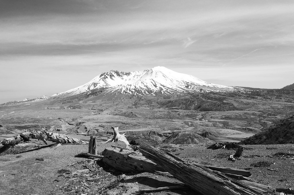
Nearby attractions include Ape Cave Lava Tubes and Mount St. Helens National Volcanic Monument.
Wildlife
The area is home to various wildlife, including deer, birds, and small mammals. Visitors may also spot fish in the Kalama River.
Cities near Kalama Falls
Nearby Waterfalls
Writing about Kalama Falls? Embed this waterfall on your site for free.