Photo Credits (5)
About Kāhili Falls
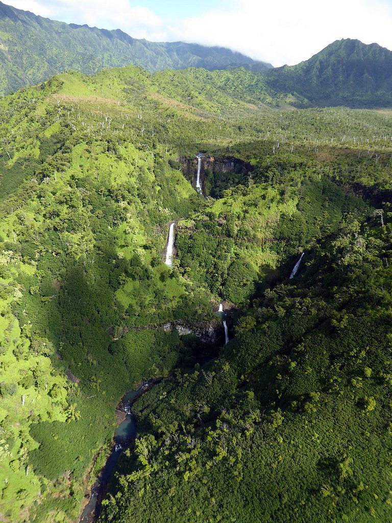
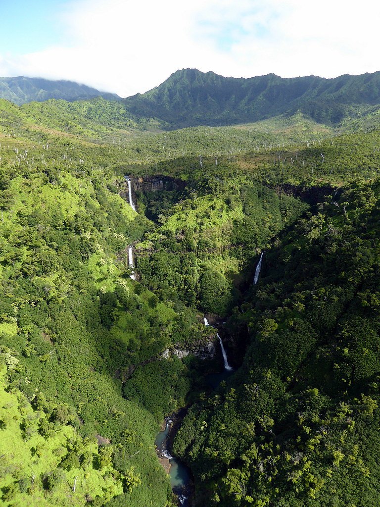
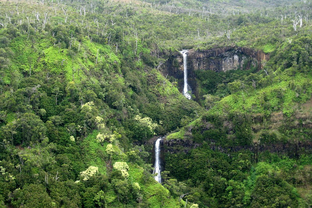
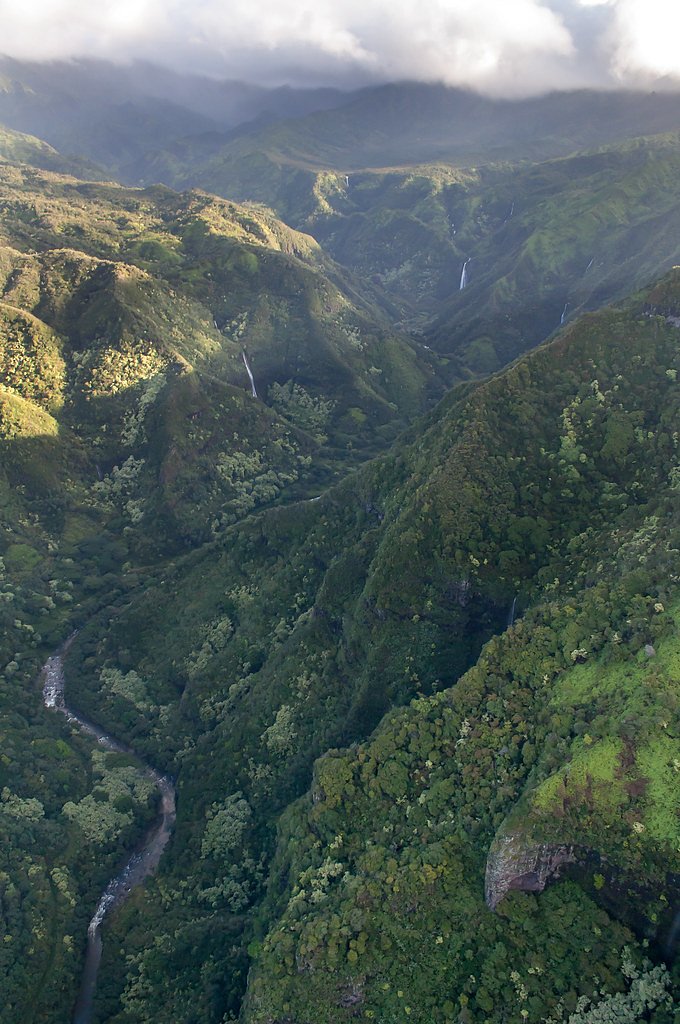
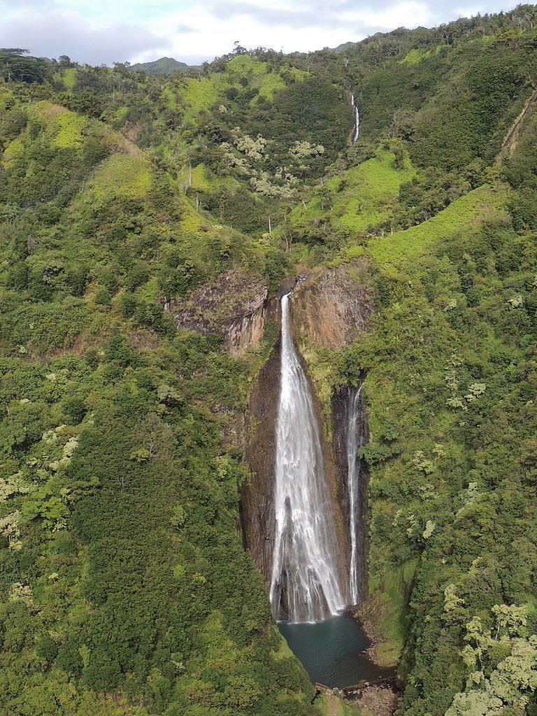
Kāhili Falls, often called The Twin Falls, is a picturesque cascade tucked into the verdant interior of Kauaʻi. The falls drop in twin streams into a tranquil pool framed by lush rainforest—an evocative example of the island’s dramatic scenery. Kauaʻi itself is the fourth-largest of the main Hawaiian Islands (562.3 square miles) and lies about 73 miles (117 km) northwest of Oʻahu; the island’s 2020 population was 73,298, giving a sense of how remote and green many of its interior valleys remain. The waterfall sits on private property, so access is limited and requires permission from the landowners or travel with an authorized guided tour. Because Kāhili Falls is not on public lands or managed by a state or federal land unit, trail conditions, parking, and visitor rules are set by the property owners—plan ahead, respect private-access requirements, and follow any directions provided by guides or owners.
Nearby Falls Worth Visiting
Manawaiopuna Falls (400 ft) lies 0.6 miles to the southwest.
Trail & Hike Details
Trail Description
The typical route to Kāhili Falls is an out-and-back hike totaling about 2.4 miles with roughly 350 feet of elevation gain and is generally rated moderate. Official surface, grade, and technical trail-class data are not published as the path crosses private property rather than an established USFS or state-managed trail; trail conditions can be uneven and vary with recent weather. Access is restricted: visitors should obtain permission from the landowners or join a permitted guided tour before attempting the hike. Because the route is not a maintained public trail, expect limited signage and variable footing, and confirm current conditions and access rules with your tour operator or the property owner ahead of time.
What to Expect
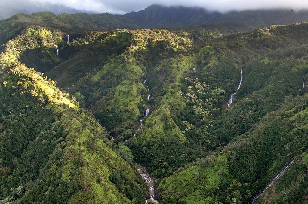
Visitors can expect to see two stunning waterfalls surrounded by lush tropical vegetation. The area is serene and offers a glimpse of Kauai's natural beauty. However, access is restricted, and visitors must respect private property rules.
Accessibility
The falls are not accessible to the general public without prior arrangements. Accessibility for individuals with mobility challenges is unclear.
Frequently Asked Questions
🐶 Are Dogs Allowed at Kāhili Falls?
❌ Dogs are not allowed
Are There Any Fees or Permits Required?
🤑 Fee: $0.00
Permit required
Access to Kāhili Falls requires permission from the landowners or booking a guided tour that includes access to the falls.
🏊 Is There Swimming at Kāhili Falls?
❌ Swimming is not allowed
When to Visit
Kāhili Falls can be visited year-round, but weather conditions may vary. The dry season (spring and summer) typically offers better trail conditions and clearer views.
Seasonal Access
The best time to visit is Spring, Summer, Fall, and Winter. Heavy rains during wet season (November through March) bring higher flow but can make trails slippery.
Safety Information
Visitors should be cautious of slippery rocks, sudden changes in water levels, and potential flash floods. Always follow the guidance of tour operators or landowners.
Current Water Conditions
1.62 ft
Water depth at gauge
About This Gauge
7-Day Flow Outlook
Based on the USGS gauge Hanapepe Riv blw Manuahi Str nr Eleele, Kauai, HI (5 km away).
Today
Roaring
160 cfs
6/10Tomorrow
Roaring
172 cfs
6/10Wed
Roaring
166 cfs
6/10Thu
Roaring
154 cfs
6/10Fri
Roaring
166 cfs
6/10Sat
Roaring
149 cfs
6/10Sun
Roaring
149 cfs
6/10Best window: Today — roaring flow, isolated rain showers (trip score 6/10).
Best time of year: this gauge typically runs highest from late January to late January, peaking in April.
How we calculate this
This is a transparent outlook, not a precise forecast. We take the waterfall's current flow strength (how it ranks against its historical normal for today, from the nearest USGS stream gauge), carry that ranking forward along the gauge's seasonal curve, and nudge it for forecast rain. Confidence is highest for the next day or two and falls further out. Always check official conditions and your own judgment before visiting — high flows can be dangerous.
Know when to go.
Get a free email alert when waterfalls near Kalaheo hit peak flow. We only send when conditions are worth the trip — no weekly newsletters, no spam.
Weather Forecast
The Terrain, Seen by LiDAR
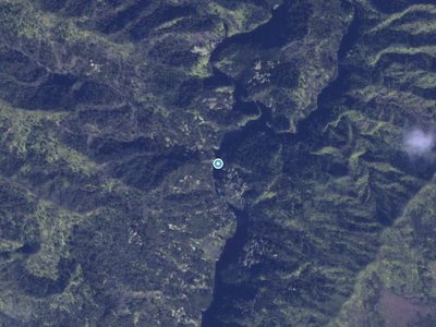
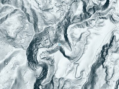
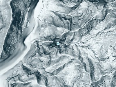
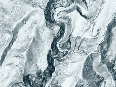
Aircraft-mounted lasers measured this ground to within inches. Trees and buildings are digitally stripped away, leaving the bare shape of the land the water has carved.
The laser survey finds one clean step here: roughly 276 feet of drop concentrated at the brink. Elevation at the pin is about 1,535 feet.
The ground changes about 33 feet in the 500 feet above the falls and 352 feet in the 500 feet below. Facing west, the falls glow in afternoon and evening light.
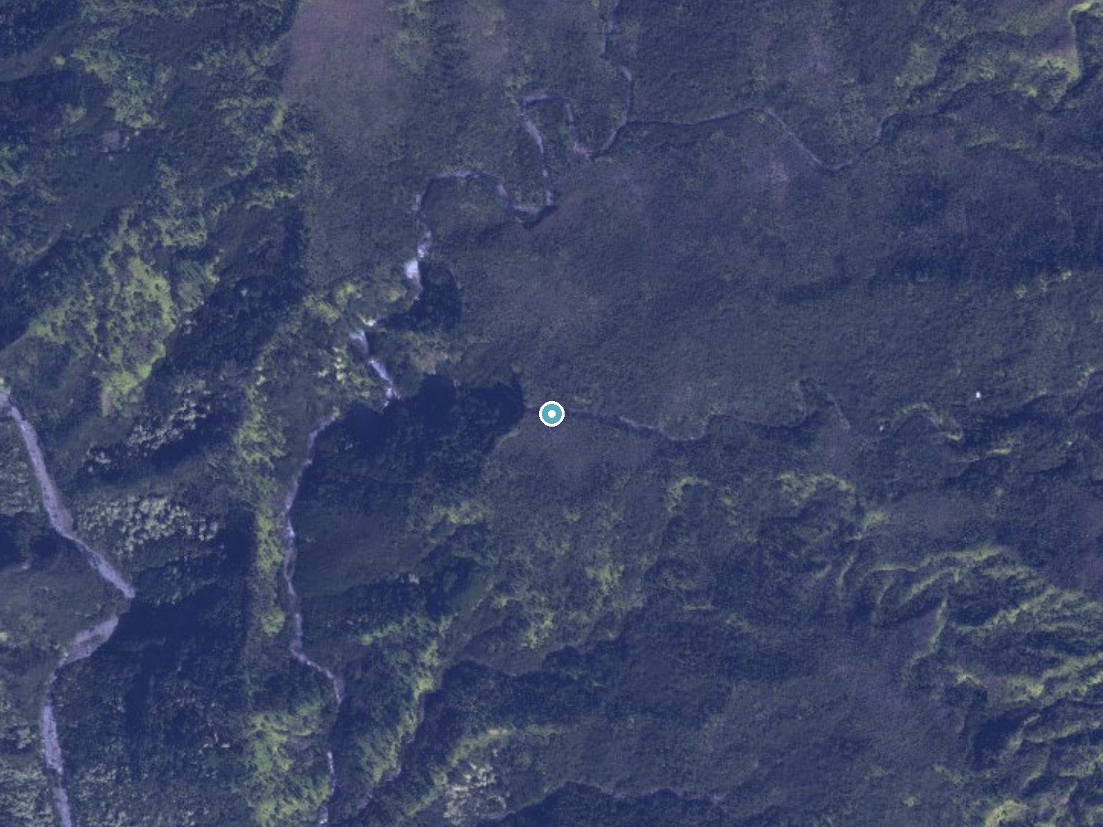
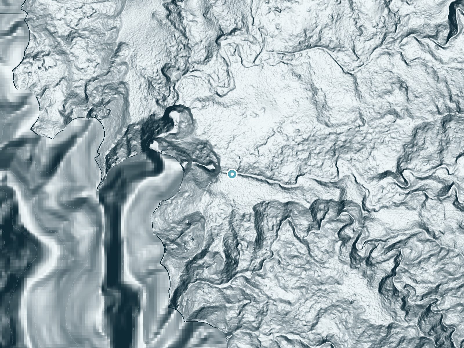
Drag to compare. The dot marks the waterfall. The frame is about a mile across.
- Ground elevation
- 1,535 feet
- Measured by 1-meter lidar
- Drop at the falls
- About 276 feet
- Change in ground height within ~250 feet of the falls
- Faces
- West
- Glows in afternoon and evening light.
A slice through the lidar ground surface, from above the falls to downstream (heading west).
Elevation data: USGS 3D Elevation Program. Aerial imagery: USGS The National Map. Public domain.
Location & Access
Getting There
Kāhili Falls is located on private land in Kauai, Hawaii. Access typically requires permission from the landowners or booking a guided tour that includes access to the falls.
Get Directions on Google MapsParking
Parking is not publicly available as the falls are on private property. Visitors must arrange access through a tour or with the landowners.
Elevation
1,496 feet above sea level
Coordinates
21.995592° N, -159.521815° W
Visitor Tips & Gear
If you plan to visit Kāhili Falls, ensure you have secured permission or booked a guided tour in advance. Wear sturdy footwear and bring water, as conditions may vary. Respect the landowners' rules and leave no trace.
Where to Stay

Kauai Shores Hotel

Poipu Plantation Vacation Rentals

Banyan Harbor Resort

Hanalei Bay Resort
Browse vacation cabins and private rentals nearby
Unique outdoor stays — tents, yurts, and treehouses
Rent a campervan or RV for your waterfall road trip
Some links are affiliate links. We may earn a commission at no extra cost to you.
Additional Information
Nearby Attractions
Nearby attractions include Wailua Falls, Opaeka'a Falls, and the lush landscapes of Kauai's east side.
Wildlife
The area around Kāhili Falls is home to various tropical birds and native Hawaiian plants. Visitors may also encounter insects and other small wildlife.
Cities near Kāhili Falls
Nearby Waterfalls
 Aerial
 LiDAR
LiDAR
 LiDAR
LiDAR
 LiDAR
LiDAR
Writing about Kāhili Falls? Embed this waterfall on your site for free.