Difficulty
Moderate
Trail Length
2.4 miles
Trail Type
Out And Back
Elevation Gain
350 ft
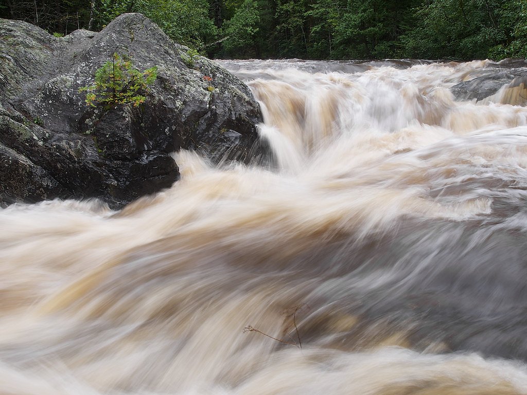
About Harley Falls
Harley Falls is a peaceful cascade tucked into the forests of Michigan’s Upper Peninsula, fed by a small creek that tumbles over bedrock into a quiet plunge pool. The setting is especially attractive to photographers and hikers who appreciate a low-key, wooded waterfall experience. The site sits on the L'Anse Reservation (land owner: DESG) and is managed by tribal authorities (Manager: TRIB), so visitors should be mindful of signage and seasonal access rules while enjoying the scenery. The approach is a pleasant woodland hike rather than a roadside stop — expect a forested corridor of ferns and hemlock leading to the falls. For those planning an overnight trip, the nearest formal campground is at Sturgeon River Gorge Wilderness, about 29.7 km away, so most visitors treat Harley Falls as a day outing.
The Setting
Harley Falls sits at 1,539 feet within L'Anse Reservation, fed by the Falls River, in the hills of Michigan.
Trail & Hike Details
The Approach
The moderate 2.4-mile out-and-back trail gains 350 feet of elevation on the way to the falls.
Trail Description
Trail stats: 2.4 miles out-and-back with roughly 350 feet of elevation gain; difficulty rated moderate. The path winds through a forested setting and is a natural tread that can be uneven and muddy after rain, with short steeper pitches that account for the overall gain. Suitable for hikers comfortable with moderate climbs and natural-surface trails; wear sturdy footwear and plan for variable footing.
What to Expect
Dogs are welcome.
Accessibility
The trail is not wheelchair accessible. Uneven terrain and elevation changes require steady footing.
Frequently Asked Questions
🐶 Are Dogs Allowed at Harley Falls?
✅ Dogs are allowed
Are There Any Fees or Permits Required?
🆖 No fees required
🏊 Is There Swimming at Harley Falls?
❌ Swimming is not allowed
When to Visit
Spring is ideal for visiting Harley Falls, as the water flow is typically strongest due to snowmelt. Summer and fall are also great times to visit for pleasant weather and colorful foliage.
Seasonal Access
The best time to visit is Spring, Summer, and Fall. Winter access may be limited.
Safety Information
Be cautious of slippery rocks near the falls. The trail may be muddy or icy depending on the season. Cell service may be limited in the area.
Current Water Conditions
73 ft³/s
Current discharge — how much water is flowing
Higher than usual for this time of year
Based on 11 years of record
4.68 ft
Water depth at gauge
58°F
ColdBracing — limit time in water
7-Day Discharge Trend
What does this mean for your visit?
The water is flowing higher than usual for this time of year. Water temperature is a bracing 58 degrees F, limit your time in the water. Mineral content is typical.
Water Quality
Conductance
Dissolved minerals in the water
About This Gauge
This gauge is on a nearby waterway and may not reflect exact conditions at the falls.
7-Day Flow Outlook
Based on the USGS gauge FALLS RIVER NEAR L'ANSE, MI (11 km away).
Today
Strong
73 cfs
10/10Tomorrow
Strong
60 cfs
10/10Sun
Strong
63 cfs
8/10Mon
Roaring
69 cfs
6/10Tue
Roaring
84 cfs
6/10Wed
Roaring
97 cfs
6/10Thu
Roaring
70 cfs
6/10Best window: Today — strong flow, mostly sunny (trip score 10/10).
Best time of year: this gauge typically runs highest from mid March to late May, peaking in April.
How we calculate this
This is a transparent outlook, not a precise forecast. We take the waterfall's current flow strength (how it ranks against its historical normal for today, from the nearest USGS stream gauge), carry that ranking forward along the gauge's seasonal curve, and nudge it for forecast rain. Confidence is highest for the next day or two and falls further out. Always check official conditions and your own judgment before visiting — high flows can be dangerous.
Know when to go.
Get a free email alert when waterfalls near L'Anse hit peak flow. We only send when conditions are worth the trip — no weekly newsletters, no spam.
Weather Forecast
Location & Access
Getting There
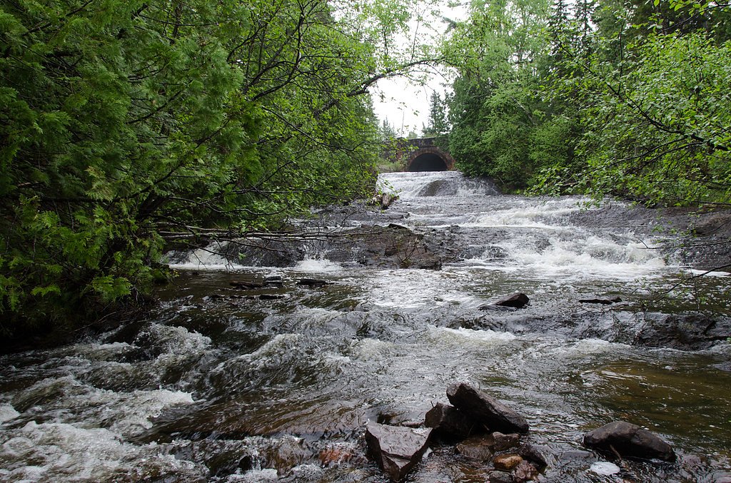
Harley Falls is located near the town of Republic in Michigan's Upper Peninsula. Access typically involves driving on forest roads, which may be unpaved. Visitors should check local maps or GPS for the most accurate directions.
Get Directions on Google MapsParking
There is limited parking available near the falls. Visitors may need to park along the roadside or at a small pull-off area.
Elevation
1,539 feet above sea level
Coordinates
46.687000° N, -88.322400° W
Land Management
Managed by TRIB
Visitor Tips & Gear
Wear sturdy shoes, as the trail may be muddy or uneven. Bring insect repellent during the summer months. Check road conditions before visiting, especially in winter or after heavy rain.
As an Amazon Associate, we earn from qualifying purchases.
With 2.4 miles and 350 ft of elevation gain, sturdy boots and trekking poles will help on this moderate trail. Sun exposure on the trail makes good sun protection a must in summer.

Columbia Watertight II Rain Jacket
Packs into its own pocket, seam-sealed, and keeps you dry from spray and surprise rain.

Earth Pak Waterproof Dry Bag
Keeps your phone and gear dry when waterfall mist soaks everything else.

Waterproof Phone Pouch (AiRunTech)
Cheap insurance — take photos right next to the falls without killing your phone.

Timberland Euro Sprint Mid Waterproof
Trusted waterproof boot with premium leather and grippy rubber sole — reliable on rocky, wet trails.

TrailBuddy Trekking Poles
Lightweight aluminum, cork grips, and flip-locks that actually hold — a best-seller for good reason.

Polarized Sunglasses (Knockaround)
Cuts glare off the water so you actually see the falls — and your photos turn out better too.
Where to Stay

UP Escape in the Pines

Whole home, private lake, sauna, WFH office

Champion Vacation Rental with Fire Pit!

Tiny Woodland Cottage Retreat with Yard in Pelkie
Browse vacation cabins and private rentals nearby
Unique outdoor stays — tents, yurts, and treehouses
Rent a campervan or RV for your waterfall road trip
Some links are affiliate links. We may earn a commission at no extra cost to you.
Nearby Campground
Sturgeon River Gorge Wilderness
18.5 miles away · 0 sites
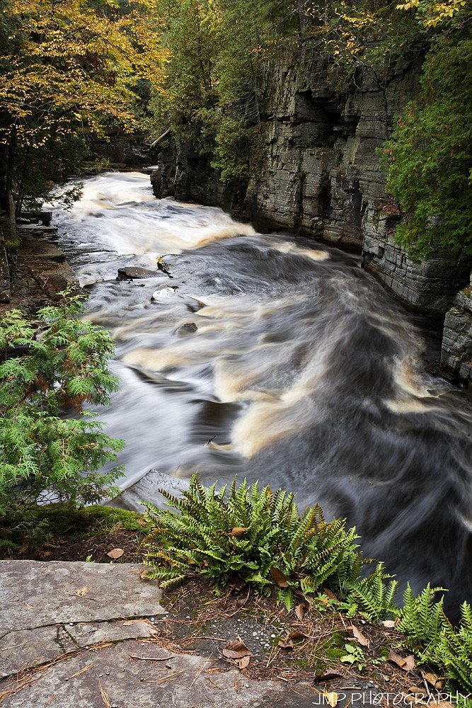
The Wild and Scenic Sturgeon River rushes out of the northern portion of this wilderness, over the 20 foot volcanic outcroppings of Sturgeon Falls, and through a gorge that reaches 350 feet in depth and a mile in width. Throughout this rugged, steep Wilderness, the Sturgeon and Little Silver Rivers and their tributaries have carved falls, rapids, ponds, oxbows, and terraces. Stunning views are possible from the eastern rim of the gorge. Except for a few naturally bare slopes, most of the land is
Book on Recreation.govAdditional Information
Nearby Attractions
Nearby attractions include the Iron Ore Heritage Trail and other waterfalls in the Upper Peninsula, such as Laughing Whitefish Falls.
Wildlife
The area is home to a variety of wildlife, including birds, deer, and small mammals. Visitors should be cautious of ticks and other insects.
Cities near Harley Falls
Nearby Waterfalls

Writing about Harley Falls? Embed this waterfall on your site for free.