Photo Credits (5)
Difficulty
Moderate
Trail Length
2.5 miles
Trail Type
Out And Back
Elevation Gain
500 ft
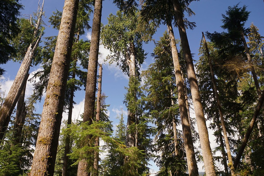
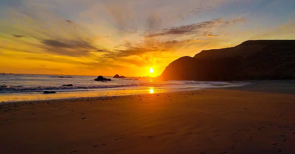
About Gray Falls
Gray Falls is a serene waterfall tucked into the public lands of Six Rivers National Forest and managed by the U.S. Forest Service. The falls are most commonly reached via the USFS GRAY FALLS TRAIL (Trail #6E30), which serves as the primary access for the route. The outing is an approximately 2.5-mile out-and-back hike with about 500 feet of elevation gain and is rated moderate — a compact, rewarding day trip for hikers looking for a quieter destination on National Forest land. On the trail you'll follow native-surface tread over short, moderately steep pitches before arriving at the falls. The setting and manageable distance make Gray Falls an appealing option for hikers who want a brief but scenic excursion within Six Rivers National Forest; the USFS-maintained trail segment helps guide visitors to the water and back on a clearly defined route.
The Setting
Gray Falls sits at 630 feet within Six Rivers National Forest, in the foothills of California.
Trail & Hike Details
The Approach
The moderate hike follows Gray Falls Trail (#6E30), a 2.5-mile out-and-back trail over natural surface. Expect 500 feet of elevation gain with grades of -8-10%. The trail is developed (Class 3).
USFS Trail
GRAY FALLS TRAIL #6E30
Trail Class
Developed
Surface
Avg Grade
USFS Segment
0.32 miTrail Description
The officially mapped USFS corridor is GRAY FALLS TRAIL (Trail #6E30). The Forest Service records show a 0.32-mile GIS segment for the trail, classified as Class 3 with a native material surface and a typical grade of -8–10%. The overall hike is an out-and-back of about 2.5 miles round trip with roughly 500 feet of elevation gain and a moderate difficulty rating. Expect native tread and some moderately steep pitches underfoot as you approach the falls.
What to Expect
Dogs are welcome.
Accessibility
The trail is not wheelchair accessible. Uneven terrain and elevation changes require steady footing.
Frequently Asked Questions
🐶 Are Dogs Allowed at Gray Falls?
✅ Dogs are allowed
Are There Any Fees or Permits Required?
🆖 No fees required
🏊 Is There Swimming at Gray Falls?
❌ Swimming is not allowed
When to Visit
Spring and early summer are the best times to visit, as the waterfall flow is strongest due to snowmelt. Fall offers beautiful foliage, while summer provides warm weather for hiking.
Seasonal Access
The best time to visit is Spring, Summer, and Fall. Winter access may be limited. Check with Six Rivers National Forest for seasonal road closures.
Safety Information
The trail can be slippery after rain, and there may be loose rocks near the falls. Visitors should stay on marked trails and avoid climbing on wet rocks. Carry a first aid kit and let someone know your plans before heading out.
Current Water Conditions
808 ft³/s
Current discharge — how much water is flowing
About average for this time of year
Based on 62 years of record
3.43 ft
Water depth at gauge
7-Day Discharge Trend
What does this mean for your visit?
Flow is about average for this time of year.
About This Gauge
This gauge is on a nearby waterway and may not reflect exact conditions at the falls.
7-Day Flow Outlook
Based on the USGS gauge TRINITY R NR BURNT RANCH CA (8 km away).
Today
Low
873 cfs
4/10Tomorrow
Barely Flowing
820 cfs
5/10Sun
Barely Flowing
760 cfs
5/10Mon
Barely Flowing
728 cfs
5/10Tue
Barely Flowing
732 cfs
5/10Wed
Barely Flowing
734 cfs
5/10Thu
Barely Flowing
744 cfs
5/10Best window: Tomorrow — barely flowing flow, mostly sunny (trip score 5/10).
Best time of year: this gauge typically runs highest from late April to late May, peaking in May.
How we calculate this
This is a transparent outlook, not a precise forecast. We take the waterfall's current flow strength (how it ranks against its historical normal for today, from the nearest USGS stream gauge), carry that ranking forward along the gauge's seasonal curve, and nudge it for forecast rain. Confidence is highest for the next day or two and falls further out. Always check official conditions and your own judgment before visiting — high flows can be dangerous.
Know when to go.
Get a free email alert when waterfalls near Trinity Village hit peak flow. We only send when conditions are worth the trip — no weekly newsletters, no spam.
Weather Forecast
Location & Access
Getting There
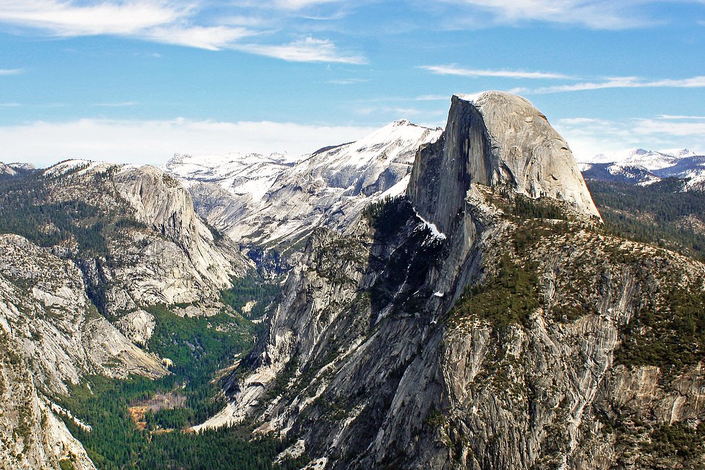
Gray Falls is located in the Plumas National Forest, near the town of Quincy, California. Access typically involves driving on forest roads, which may be unpaved and require a high-clearance vehicle during certain seasons.
Get Directions on Google MapsParking
Parking is available near the trailhead, but spaces may be limited. Visitors should plan to arrive early, especially during weekends or peak seasons.
Elevation
630 feet above sea level
Coordinates
40.854667° N, -123.483744° W
Land Management
Managed by USFS
Visitor Tips & Gear
Wear sturdy hiking shoes and bring plenty of water. Check weather conditions before visiting, as the trail can become slippery after rain. Cell service may be limited, so plan accordingly.
As an Amazon Associate, we earn from qualifying purchases.
With 2.5 miles and 500 ft of elevation gain, sturdy boots and trekking poles will help on this moderate trail. Sun exposure on the trail makes good sun protection a must in summer.

Polarized Sunglasses (Knockaround)
Cuts glare off the water so you actually see the falls — and your photos turn out better too.

Columbia Watertight II Rain Jacket
Packs into its own pocket, seam-sealed, and keeps you dry from spray and surprise rain.

Earth Pak Waterproof Dry Bag
Keeps your phone and gear dry when waterfall mist soaks everything else.

Waterproof Phone Pouch (AiRunTech)
Cheap insurance — take photos right next to the falls without killing your phone.

Timberland Euro Sprint Mid Waterproof
Trusted waterproof boot with premium leather and grippy rubber sole — reliable on rocky, wet trails.

TrailBuddy Trekking Poles
Lightweight aluminum, cork grips, and flip-locks that actually hold — a best-seller for good reason.
Where to Stay

Blue Lake Casino and Hotel

Comfort Inn Arcata

Arcata Forest Retreat Peaceful Redwood Suite 5 min to Downtown Arcata w Private Patio Fountain & Fire Pit

Casavagos Tiny House
Browse vacation cabins and private rentals nearby
Unique outdoor stays — tents, yurts, and treehouses
Rent a campervan or RV for your waterfall road trip
Some links are affiliate links. We may earn a commission at no extra cost to you.
Nearby Campground
Denny Campground
7.2 miles away · 0 sites
Facility has 5 sites. Can accomodate up to a 22 foot trailer. No potable water.
Book on Recreation.govNearby Hot Springs
Hot springs near Trinity Village, California
Looking for a soak after your hike? Explore more hot springs near Trinity Village, California on SoakingSprings.
Explore California springsAdditional Information
Nearby Attractions
Other attractions in the Plumas National Forest include Bucks Lake and Feather River Canyon.
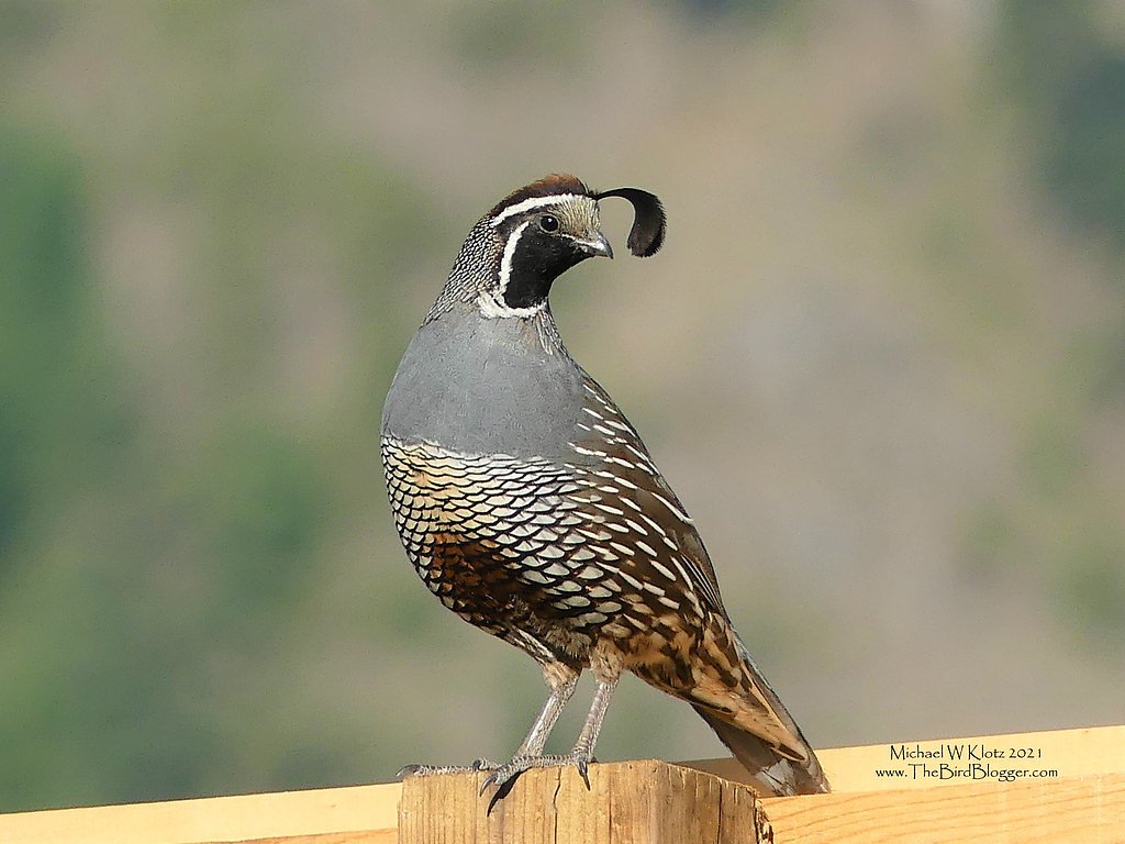
Wildlife
The area is home to various wildlife, including deer, birds, and occasionally black bears. Visitors should practice proper wildlife safety.
Cities near Gray Falls
Nearby Waterfalls
Writing about Gray Falls? Embed this waterfall on your site for free.