Burnt Ranch Falls
By Armen Suny · Last verified May 2026

Photo Credits (2)
Difficulty
Moderate
Trail Length
1.5 miles
Trail Type
Out And Back
Elevation Gain
300 ft
About Burnt Ranch Falls
Burnt Ranch Falls is a stunning multi-tiered waterfall located on the Trinity River in Northern California. It is known for its dramatic cascades and scenic surroundings, making it a popular spot for outdoor enthusiasts and photographers.
The Setting
Burnt Ranch Falls sits at 1,132 feet within Trinity National Forest, in the foothills of California.
Trail & Hike Details
The Approach
The moderate hike follows Burnt Ranch Falls (#06E07), a 1.5-mile out-and-back trail over natural surface. Expect 300 feet of elevation gain with grades of 12-20%. The trail is developed (Class 3).
USFS Trail
BURNT RANCH FALLS #06E07
Trail Class
Developed
Surface
Avg Grade
USFS Segment
0.38 miTrail Description
The trail to Burnt Ranch Falls is a moderately challenging hike that winds through a forested area with some rocky sections. The path leads to a viewpoint overlooking the falls, with opportunities to explore closer to the water for those comfortable with uneven terrain.
What to Expect
Swimming is permitted. Dogs are welcome.
Accessibility
The trail is not wheelchair accessible. Uneven terrain and elevation changes require steady footing.
Frequently Asked Questions
🐶 Are Dogs Allowed at Burnt Ranch Falls?
✅ Dogs are allowed
Are There Any Fees or Permits Required?
🆖 No fees required
🏊 Is There Swimming at Burnt Ranch Falls?
✅ Swimming is allowed
When to Visit
Spring and early summer are ideal times to visit, as the waterfall flow is typically strongest due to snowmelt. Fall offers beautiful foliage, while summer provides warmer weather for hiking.
Seasonal Access
The best time to visit is Spring, Summer, and Fall. Winter access may be limited. Check with Trinity National Forest for seasonal road closures.
Safety Information
The trail can be slippery, especially near the water. Visitors should wear appropriate footwear and exercise caution. Be aware of strong currents if swimming, and watch for poison oak along the trail.
Current Water Conditions
758 ft³/s
Current discharge — how much water is flowing
About average for this time of year
Based on 62 years of record
3.31 ft
Water depth at gauge
7-Day Discharge Trend
What does this mean for your visit?
Flow is about average for this time of year.
About This Gauge
7-Day Flow Outlook
Based on the USGS gauge TRINITY R NR BURNT RANCH CA (5 km away).
Today
Barely Flowing
762 cfs
5/10Tomorrow
Barely Flowing
735 cfs
5/10Mon
Barely Flowing
704 cfs
5/10Tue
Barely Flowing
708 cfs
5/10Wed
Barely Flowing
710 cfs
5/10Thu
Barely Flowing
720 cfs
5/10Fri
Barely Flowing
685 cfs
5/10Best window: Today — barely flowing flow, sunny (trip score 5/10).
Best time of year: this gauge typically runs highest from late April to late May, peaking in May.
How we calculate this
This is a transparent outlook, not a precise forecast. We take the waterfall's current flow strength (how it ranks against its historical normal for today, from the nearest USGS stream gauge), carry that ranking forward along the gauge's seasonal curve, and nudge it for forecast rain. Confidence is highest for the next day or two and falls further out. Always check official conditions and your own judgment before visiting — high flows can be dangerous.
Know when to go.
Get a free email alert when waterfalls near Burnt Ranch hit peak flow. We only send when conditions are worth the trip — no weekly newsletters, no spam.
Weather Forecast
Location & Access
Getting There
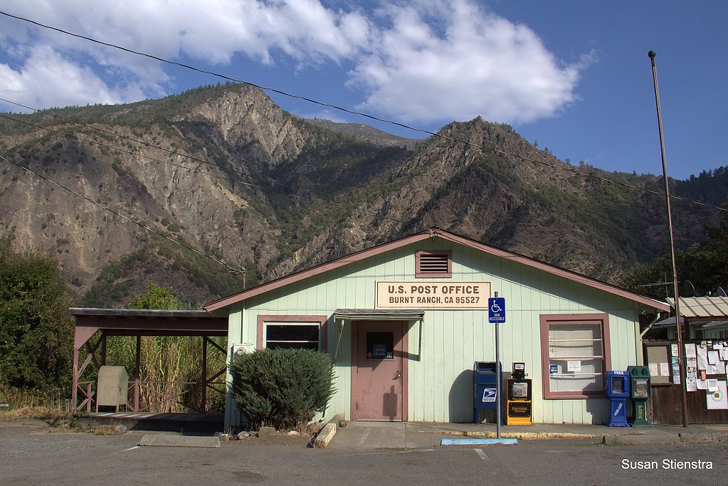
Burnt Ranch Falls is located near the small community of Burnt Ranch in Trinity County, California. Access is typically via Highway 299, with a turnoff leading to a trailhead or parking area. Specific directions may vary, so checking local maps or guides is recommended.
Get Directions on Google MapsParking
Parking is available near the trailhead, but spaces may be limited. Visitors should plan to arrive early, especially during peak seasons.
Elevation
1,132 feet above sea level
Coordinates
40.826249° N, -123.476154° W
Land Management
Managed by USFS
Visitor Tips & Gear
Wear sturdy hiking shoes, as the trail can be rocky and uneven. Bring plenty of water, especially during warmer months. Arrive early to secure parking and avoid crowds.
As an Amazon Associate, we earn from qualifying purchases.
With 1.5 miles and 300 ft of elevation gain, sturdy boots and trekking poles will help on this moderate trail. Sun exposure on the trail makes good sun protection a must in summer.

Polarized Sunglasses (Knockaround)
Cuts glare off the water so you actually see the falls — and your photos turn out better too.

Columbia Watertight II Rain Jacket
Packs into its own pocket, seam-sealed, and keeps you dry from spray and surprise rain.

Earth Pak Waterproof Dry Bag
Keeps your phone and gear dry when waterfall mist soaks everything else.

Waterproof Phone Pouch (AiRunTech)
Cheap insurance — take photos right next to the falls without killing your phone.

Timberland Euro Sprint Mid Waterproof
Trusted waterproof boot with premium leather and grippy rubber sole — reliable on rocky, wet trails.

TrailBuddy Trekking Poles
Lightweight aluminum, cork grips, and flip-locks that actually hold — a best-seller for good reason.
Where to Stay

Coho Cottages

Ramada by Wyndham Arcata

Blue Lake Casino and Hotel

Comfort Inn Arcata
Browse vacation cabins and private rentals nearby
Unique outdoor stays — tents, yurts, and treehouses
Rent a campervan or RV for your waterfall road trip
Some links are affiliate links. We may earn a commission at no extra cost to you.
Nearby Campground
Hayden Flat Group Campground
7.5 miles away · 3 sites
Overview Hayden Flat Campground is located 31 miles west of Weaverville, CA along CA Highway 299 at an elevation of 1200'. Located on the Wild and Scenic portion of the Trinity River, this campground is a wonderful place to camp when enjoying all the river has to offer. The upper loop of the campground has been converted into 3 group sites. Recreation The Trinity River offers fun-filled hours of fishing, swimming, floating, rafting, kayaking and boating. River access is available at this locati
Book on Recreation.govNearby Hot Springs
Hot springs near Burnt Ranch, California
Looking for a soak after your hike? Explore more hot springs near Burnt Ranch, California on SoakingSprings.
Explore California springsAdditional Information
Nearby Attractions
Nearby attractions include the Trinity River for rafting and fishing, and the Trinity Alps Wilderness for additional hiking opportunities.
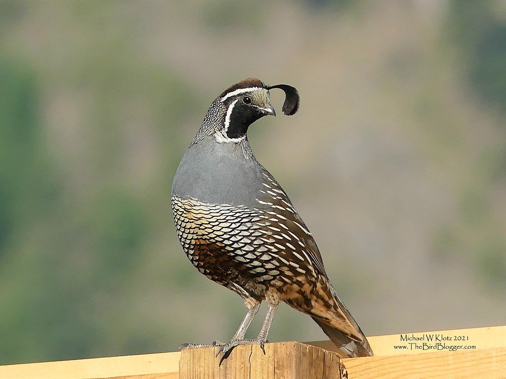
Wildlife
The area is home to a variety of wildlife, including deer, birds, and occasionally black bears. Visitors should practice proper wildlife safety.
Cities near Burnt Ranch Falls
Nearby Waterfalls
Writing about Burnt Ranch Falls? Embed this waterfall on your site for free.