Grave Creek Falls
By Armen Suny · Last verified Mar 2026
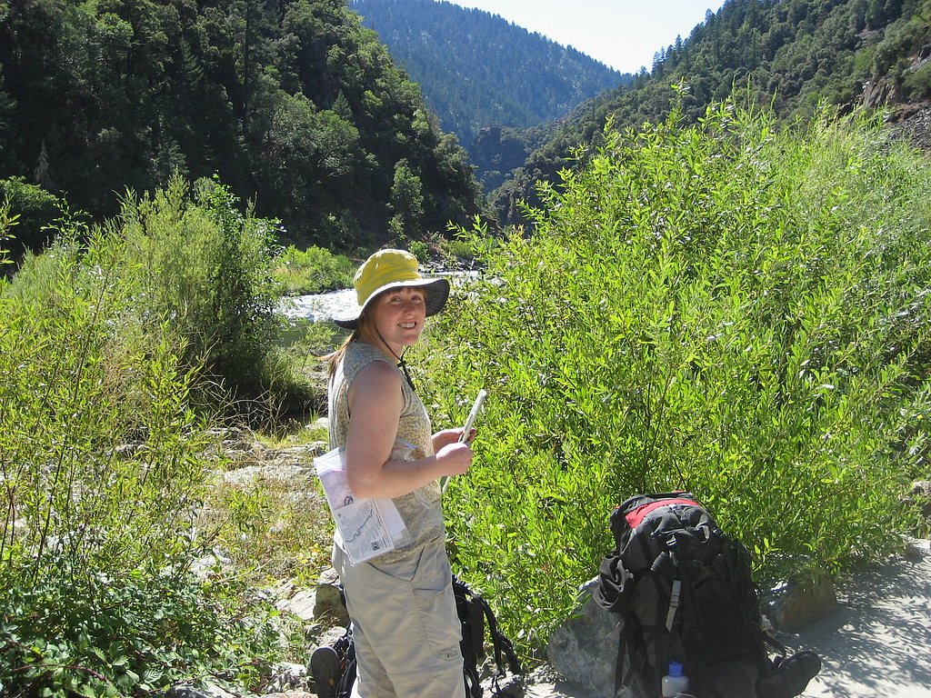
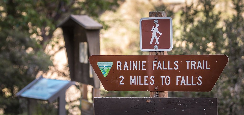
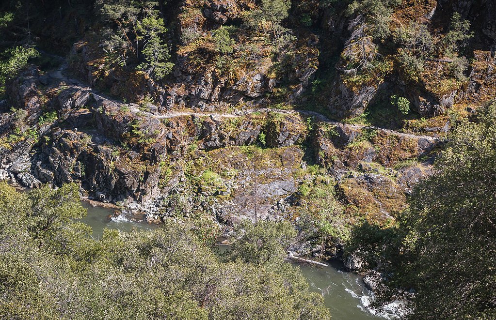

Photo Credits (5)
Difficulty
Moderate
Trail Length
2.4 miles
Trail Type
Out And Back
Elevation Gain
350 ft
About Grave Creek Falls
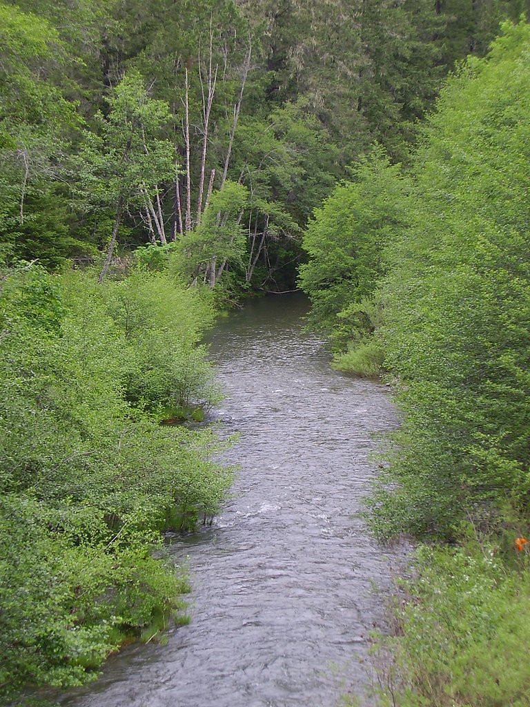
Grave Creek Falls is a small, picturesque roadside waterfall in southern Oregon near the Rogue River. Nestled on public BLM land managed by the Medford Grants Pass Field Office, the falls tumble into a shaded creek corridor and are framed by lush greenery that’s especially vibrant in spring and early summer. Because the falls sit right at the roadway, it’s an easy, photogenic stop for travelers and day visitors. If you want more time in the woods, there’s also an out-and-back route of roughly 2.4 miles that gains about 350 feet and is rated moderate — a pleasant way to stretch your legs and explore the surrounding BLM-managed landscape before returning to the roadside viewpoint. As this is public land under the Medford Grants Pass Field Office, observe posted signs and leave-no-trace practices to help keep the area inviting for everyone.
The Setting
Grave Creek Falls sits at 607 feet within Medford Grants Pass Field Office, fed by the West Fork Cow Creek, in the foothills of Oregon.
Trail & Hike Details
The Approach
The moderate 2.4-mile out-and-back trail gains 350 feet of elevation on the way to the falls.
Trail Description
No formal hike is required to view Grave Creek Falls — the main viewpoint is a short walk from the road and offers immediate access for quick visits and photos. For hikers seeking a longer outing, a 2.4-mile out-and-back trail with approximately 350 feet of elevation gain provides a moderate-level option through the surrounding terrain. Trail surface, grade, and class are not specified in the provided data; the site and approaches are managed by the BLM’s Medford Grants Pass Field Office.
What to Expect
Dogs are welcome.
Accessibility
The trail is not wheelchair accessible. Uneven terrain and elevation changes require steady footing.
Frequently Asked Questions
🐶 Are Dogs Allowed at Grave Creek Falls?
✅ Dogs are allowed
Are There Any Fees or Permits Required?
🆖 No fees required
🏊 Is There Swimming at Grave Creek Falls?
❌ Swimming is not allowed
When to Visit
Spring and early summer are the best times to visit, as the water flow is typically at its peak during these seasons.
Seasonal Access
The best time to visit is Spring, Summer, and Fall. Winter access may be limited.
Safety Information
Be cautious when parking and walking near the road. The area may have uneven terrain and slippery rocks near the water. Always supervise children and pets.
Current Water Conditions
8 ft³/s
Current discharge — how much water is flowing
Much lower than usual for this time of year
Based on 70 years of record
2.17 ft
Water depth at gauge
7-Day Discharge Trend
What does this mean for your visit?
Flow is well below normal for this time of year, so the waterfall may be a trickle.
About This Gauge
This gauge is on a nearby waterway and may not reflect exact conditions at the falls.
7-Day Flow Outlook
Based on the USGS gauge WEST FORK COW CREEK NEAR GLENDALE, OR (17 km away).
Today
Barely Flowing
9 cfs
3/10Tomorrow
Low
9 cfs
4/10Sun
Low
9 cfs
4/10Mon
Barely Flowing
8 cfs
5/10Tue
Barely Flowing
7 cfs
5/10Wed
Barely Flowing
7 cfs
5/10Thu
Barely Flowing
7 cfs
5/10Best window: Mon — barely flowing flow, mostly sunny (trip score 5/10).
Best time of year: this gauge typically runs highest from early March to early April, peaking in January.
How we calculate this
This is a transparent outlook, not a precise forecast. We take the waterfall's current flow strength (how it ranks against its historical normal for today, from the nearest USGS stream gauge), carry that ranking forward along the gauge's seasonal curve, and nudge it for forecast rain. Confidence is highest for the next day or two and falls further out. Always check official conditions and your own judgment before visiting — high flows can be dangerous.
Know when to go.
Get a free email alert when waterfalls near Glendale hit peak flow. We only send when conditions are worth the trip — no weekly newsletters, no spam.
Weather Forecast
Location & Access
Getting There
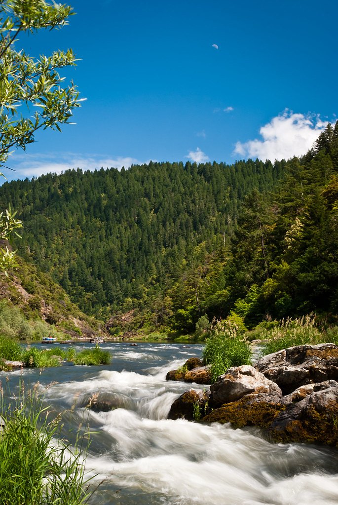
Grave Creek Falls is located along the Rogue River near the town of Galice, Oregon. It is accessible via the Merlin-Galice Road, which runs parallel to the Rogue River. The falls are visible from the road, making them a convenient stop for travelers.
Get Directions on Google MapsParking
There is limited roadside parking available near the falls. Visitors should exercise caution when parking and exiting their vehicles, as the road may have narrow shoulders.
Elevation
607 feet above sea level
Coordinates
42.649837° N, -123.592849° W
Land Management
Managed by BLM
Visitor Tips & Gear
Visit during the spring or early summer for the best water flow. Be cautious when parking along the road, as the area may have limited space and traffic. Bring a camera to capture the scenic surroundings.
As an Amazon Associate, we earn from qualifying purchases.
With 2.4 miles and 350 ft of elevation gain, sturdy boots and trekking poles will help on this moderate trail. Sun exposure on the trail makes good sun protection a must in summer.

Polarized Sunglasses (Knockaround)
Cuts glare off the water so you actually see the falls — and your photos turn out better too.

Columbia Watertight II Rain Jacket
Packs into its own pocket, seam-sealed, and keeps you dry from spray and surprise rain.

Earth Pak Waterproof Dry Bag
Keeps your phone and gear dry when waterfall mist soaks everything else.

Waterproof Phone Pouch (AiRunTech)
Cheap insurance — take photos right next to the falls without killing your phone.

Timberland Euro Sprint Mid Waterproof
Trusted waterproof boot with premium leather and grippy rubber sole — reliable on rocky, wet trails.

TrailBuddy Trekking Poles
Lightweight aluminum, cork grips, and flip-locks that actually hold — a best-seller for good reason.
Where to Stay

Blissful Solitude Cottage

Hampton Inn & Suites Grants Pass

Holiday Inn Express Grants Pass by IHG

Best Western Grants Pass Inn
Browse vacation cabins and private rentals nearby
Unique outdoor stays — tents, yurts, and treehouses
Rent a campervan or RV for your waterfall road trip
Some links are affiliate links. We may earn a commission at no extra cost to you.
Nearby Campground
ONION MOUNTAIN LOOKOUT
13.6 miles away · 0 sites
Overview THIS FACILITY IS CLOSED TO RESERVATIONS UNTIL FURTHER NOTICE Onion Mountain lookout sits atop a 12-foot tower at an elevation of 4,438 feet, offering guests expansive mountain views in southwestern Oregon. The original Onion Mountain Lookout was a raised platform, built on top of a tower in 1916. In 1924, a second lookout without a tower was built on site. The current structure was placed on site in 1952 and served as a fire lookout and Aircraft Warning Service observation station. The l
Book on Recreation.govNearby Hot Springs
Hot springs near Glendale, Oregon
Looking for a soak after your hike? Explore more hot springs near Glendale, Oregon on SoakingSprings.
Explore Oregon springsAdditional Information
Nearby Attractions
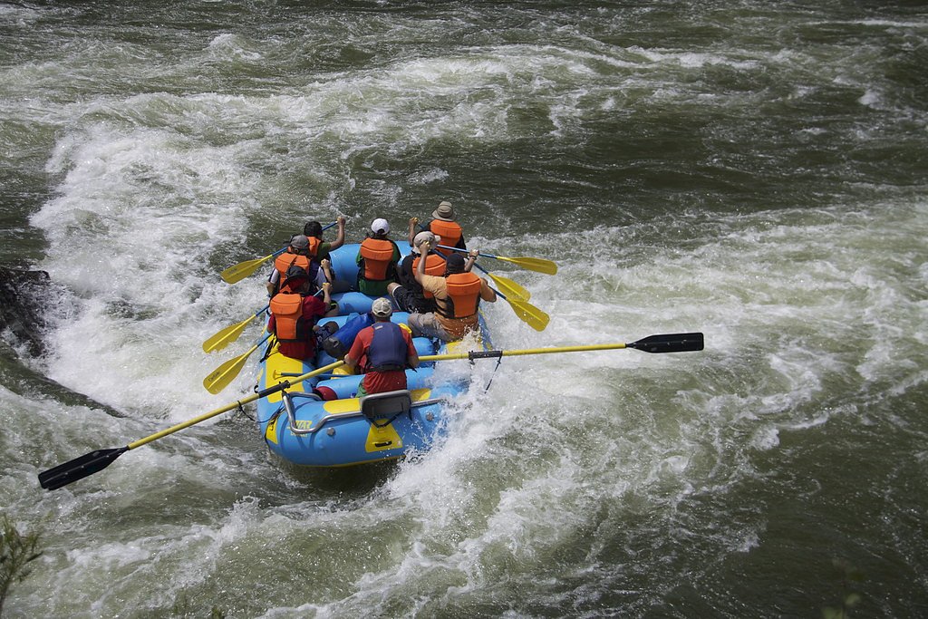
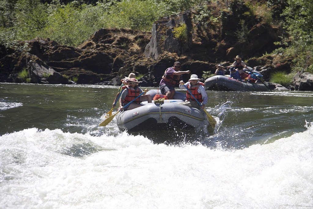
Nearby attractions include the Rogue River, Hellgate Canyon, and the town of Galice, which offers rafting and other outdoor activities.
Wildlife
The area around Grave Creek Falls is home to a variety of wildlife, including birds, deer, and small mammals. Visitors may also spot fish in the Rogue River.
Cities near Grave Creek Falls
Nearby Waterfalls
Writing about Grave Creek Falls? Embed this waterfall on your site for free.