Garfield Falls
New Hampshire • 40 ft
By Armen Suny · Last verified Mar 2026
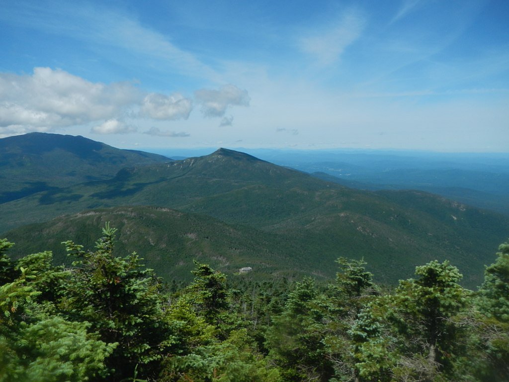
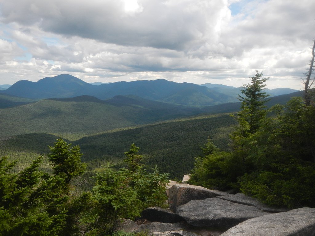
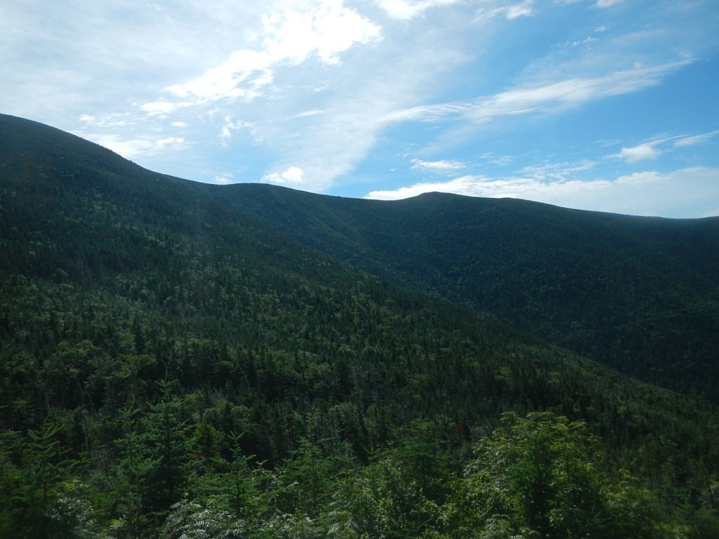
Photo Credits (5)
Difficulty
Moderate
Trail Length
2.4 miles
Trail Type
Out And Back
Elevation Gain
350 ft
About Garfield Falls
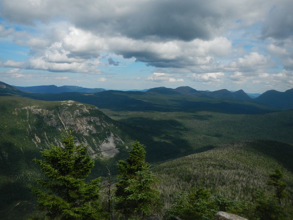
Garfield Falls is a quietly scenic 40-foot cascade on the Dead Diamond River near Pittsburg, New Hampshire, tucked into dense northern forest. The falls drop through a rocky chute and open into a peaceful pool, making it a rewarding destination for hikers looking to experience the remote, woodsy beauty of the Connecticut Lakes region. Its secluded setting and classic New Hampshire spruce-fir backdrop make it a favorite for photographers and day hikers seeking solitude. The falls sit within the Connecticut Lakes Headwaters land unit (designation: FORE) and are managed by OTHS; the specific landowner is not listed. A short hike through mature forest brings you to an up-close view at the base of the falls—an accessible, natural spot that feels far removed from development. Expect classic backcountry character rather than developed amenities, and plan accordingly for changing trail and weather conditions.
The Setting
Garfield Falls sits at 1,844 feet within Connecticut Lakes Headwaters, fed by the Diamond River, in the hills of New Hampshire. The falls drop 40 feet.
Height: 40 feet
Trail & Hike Details
The Approach
The moderate 2.4-mile out-and-back trail gains 350 feet of elevation on the way to the falls.
Trail Description
The approach to Garfield Falls is a 2.4-mile out-and-back trail with roughly 350 feet of elevation gain, and is rated moderate in difficulty. The route winds through forested terrain and leads directly to the base of the 40-foot cascade; while the path is generally straightforward and well-marked, sections can be muddy after rain and require steady footing. This is a backcountry-style hike rather than a groomed park trail, so bring appropriate footwear and expect natural tread and occasional roots and rocks underfoot. The moderate grade and short distance make it a satisfying half-day outing for hikers comfortable with uneven, wooded trails.
What to Expect
The falls drop 40 feet. Dogs are welcome.
Accessibility
The trail is not wheelchair accessible. Uneven terrain and elevation changes require steady footing.
Frequently Asked Questions
🐶 Are Dogs Allowed at Garfield Falls?
✅ Dogs are allowed
Are There Any Fees or Permits Required?
🆖 No fees required
🏊 Is There Swimming at Garfield Falls?
❌ Swimming is not allowed
When to Visit
The best time to visit Garfield Falls is in late spring or early summer when water flow is at its peak. Fall is also a great time to visit for stunning foliage views.
Seasonal Access
The best time to visit is Spring, Summer, and Fall. Winter access may be limited.
Safety Information
Exercise caution near the falls as the rocks can be slippery. The area is remote, so ensure you have adequate supplies and let someone know your plans.
Current Water Conditions
435 ft³/s
Current discharge — how much water is flowing
Higher than usual for this time of year
Based on 84 years of record
3.49 ft
Water depth at gauge
7-Day Discharge Trend
What does this mean for your visit?
The water is flowing higher than usual for this time of year.
About This Gauge
This gauge is on a nearby waterway and may not reflect exact conditions at the falls.
7-Day Flow Outlook
Based on the USGS gauge Diamond River near Wentworth Location, NH (18 km away).
Today
Moderate
469 cfs
9/10Tomorrow
Moderate
416 cfs
9/10Tue
Moderate
432 cfs
6/10Wed
Strong
431 cfs
7/10Thu
Strong
398 cfs
7/10Fri
Strong
381 cfs
7/10Sat
Moderate
336 cfs
6/10Best window: Today — moderate flow, mostly sunny (trip score 9/10).
Best time of year: this gauge typically runs highest from late March to early June, peaking in May.
How we calculate this
This is a transparent outlook, not a precise forecast. We take the waterfall's current flow strength (how it ranks against its historical normal for today, from the nearest USGS stream gauge), carry that ranking forward along the gauge's seasonal curve, and nudge it for forecast rain. Confidence is highest for the next day or two and falls further out. Always check official conditions and your own judgment before visiting — high flows can be dangerous.
Know when to go.
Get a free email alert when waterfalls near Beecher Falls hit peak flow. We only send when conditions are worth the trip — no weekly newsletters, no spam.
Weather Forecast
Location & Access
Getting There
Garfield Falls is located in the northernmost part of New Hampshire, near the Canadian border. From Pittsburg, take Route 3 north, then follow signs for Magalloway Road. The falls are accessible via a short drive on a gravel road and a brief hike.
Get Directions on Google MapsParking
There is a small parking area near the trailhead on Magalloway Road. Parking is free but limited.
Elevation
1,844 feet above sea level
Coordinates
45.035326° N, -71.113407° W
Land Management
Managed by OTHS
Visitor Tips & Gear
Wear sturdy shoes as the trail can be muddy or slippery, especially after rain. Bring bug spray during the summer months. Cell service may be limited in the area, so plan accordingly.
As an Amazon Associate, we earn from qualifying purchases.
With 2.4 miles and 350 ft of elevation gain, sturdy boots and trekking poles will help on this moderate trail. Sun exposure on the trail makes good sun protection a must in summer.

Polarized Sunglasses (Knockaround)
Cuts glare off the water so you actually see the falls — and your photos turn out better too.

Columbia Watertight II Rain Jacket
Packs into its own pocket, seam-sealed, and keeps you dry from spray and surprise rain.

Earth Pak Waterproof Dry Bag
Keeps your phone and gear dry when waterfall mist soaks everything else.

Waterproof Phone Pouch (AiRunTech)
Cheap insurance — take photos right next to the falls without killing your phone.

Timberland Euro Sprint Mid Waterproof
Trusted waterproof boot with premium leather and grippy rubber sole — reliable on rocky, wet trails.

TrailBuddy Trekking Poles
Lightweight aluminum, cork grips, and flip-locks that actually hold — a best-seller for good reason.
Where to Stay

Le Pèlerin - Chalet rustique Écoresponsable en nature - Estrie

Chalet Lindsay

Ladd Pond Cabins and Campground, LLC

La Maison Bleue du Lac Wallace
Browse vacation cabins and private rentals nearby
Unique outdoor stays — tents, yurts, and treehouses
Rent a campervan or RV for your waterfall road trip
Some links are affiliate links. We may earn a commission at no extra cost to you.
Additional Information
Nearby Attractions
Nearby attractions include the Connecticut Lakes and the Pittsburg-Clarksville Covered Bridge.
Wildlife
The area is home to a variety of wildlife, including moose, deer, and birds. Be cautious and respectful of the natural habitat.
Cities near Garfield Falls
Nearby Waterfalls
Other waterfalls named Garfield Falls
1 other waterfall shares this name across the U.S.
Writing about Garfield Falls? Embed this waterfall on your site for free.