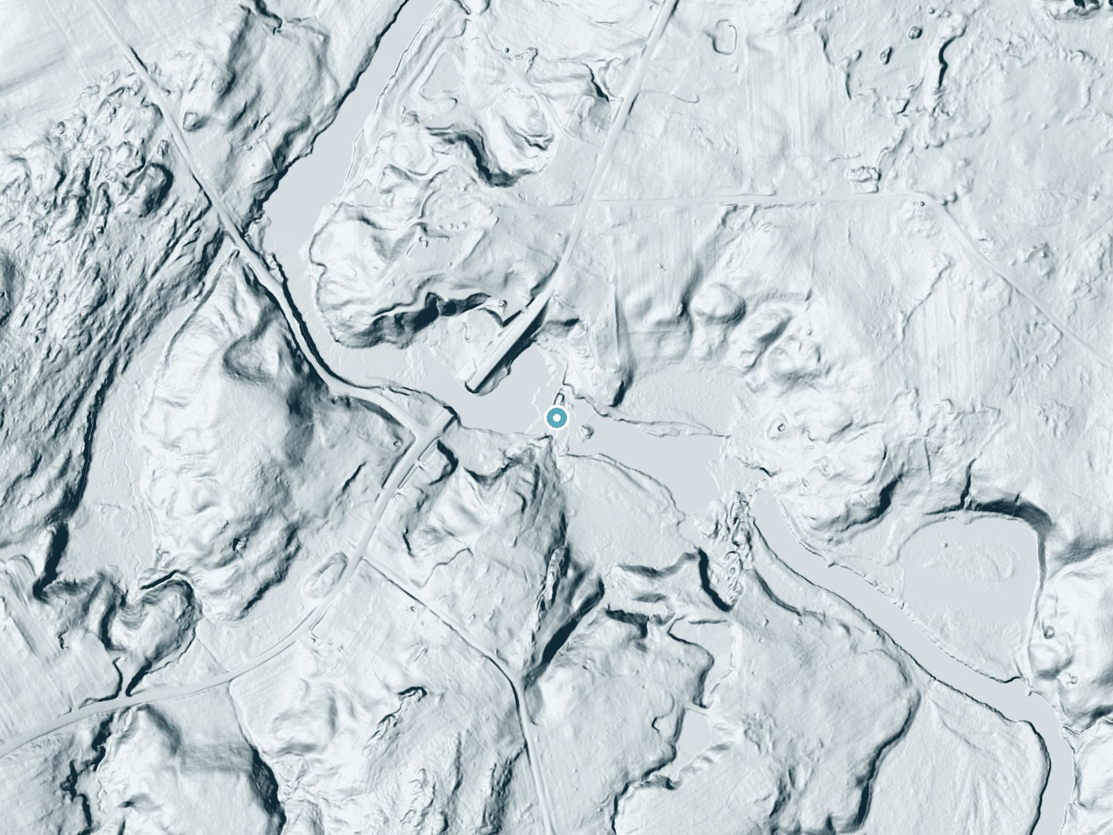
 LiDAR terrain view · USGS 3DEP
Fullerville Falls
By Armen Suny · Last verified Sep 2026
LiDAR & 3D terrainDifficulty
Easy
Trail Length
0.1 miles
Trail Type
Out And Back
About Fullerville Falls
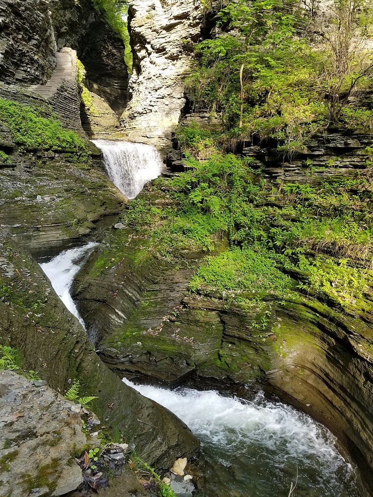
Fullerville Falls is a picturesque waterfall located in the small hamlet of Fullerville, New York. It is a hidden gem that offers a serene and peaceful environment, making it a great spot for nature lovers and photographers. The falls cascade over a rocky ledge into a small pool below, surrounded by lush greenery.
Trail & Hike Details
Trail Description
The trail to Fullerville Falls is very short and easy, making it accessible for most visitors. It involves a brief walk from the roadside parking area to the falls. The path is relatively flat and well-trodden, but it may be muddy or slippery after rain.
What to Expect
Dogs are welcome.
Accessibility
The trail is short and relatively flat, but the surface may be uneven. Contact the managing agency for accessibility details.
Frequently Asked Questions
🐶 Are Dogs Allowed at Fullerville Falls?
✅ Dogs are allowed
Are There Any Fees or Permits Required?
🆖 No fees required
🏊 Is There Swimming at Fullerville Falls?
❌ Swimming is not allowed
When to Visit
Spring and early summer are ideal times to visit when water flow is typically at its peak. Fall offers beautiful foliage, while winter may provide a unique view of the falls frozen over.
Seasonal Access
The best time to visit is Spring, Summer, Fall, and Winter.
Safety Information
Exercise caution near the water, as rocks can be slippery. Be mindful of weather conditions, as the trail may become muddy or icy. Always supervise children and pets near the falls.
Current Water Conditions
These readings come from the USGS gauge on West Branch Oswegatchie River, 5.5 miles away, not on Fullerville Falls's own stream. Use them as a sign of whether the area is running wet or dry.
268 ft³/s
Current discharge — how much water is flowing
About average for this time of year
Based on 110 years of record
2.49 ft
Water depth at gauge
7-Day Discharge Trend
What does this mean for your visit?
Flow is about average for this time of year.
About This Gauge
This gauge is on a nearby waterway and may not reflect exact conditions at the falls.
7-Day Flow Outlook
Based on the USGS gauge WEST BRANCH OSWEGATCHIE RIVER NEAR HARRISVILLE NY (9 km away).
Today
Barely Flowing
268 cfs
5/10Tomorrow
Barely Flowing
280 cfs
5/10Sat
Barely Flowing
334 cfs
5/10Sun
Barely Flowing
338 cfs
5/10Mon
Barely Flowing
336 cfs
5/10Tue
Barely Flowing
364 cfs
5/10Wed
Barely Flowing
361 cfs
5/10Best window: Today — barely flowing flow, partly sunny (trip score 5/10).
Best time of year: this gauge typically runs highest from mid March to mid May, peaking in April.
How we calculate this
This is a transparent outlook, not a precise forecast. We take the waterfall's current flow strength (how it ranks against its historical normal for today, from the nearest USGS stream gauge), carry that ranking forward along the gauge's seasonal curve, and nudge it for forecast rain. Confidence is highest for the next day or two and falls further out. Always check official conditions and your own judgment before visiting — high flows can be dangerous.
Know when to go.
Get a free email alert when waterfalls near Hailesboro hit peak flow. We only send when conditions are worth the trip — no weekly newsletters, no spam.
Weather Forecast
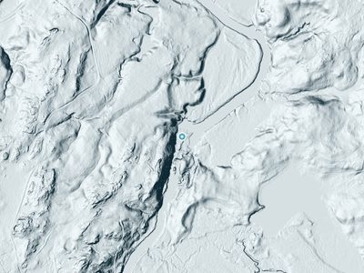
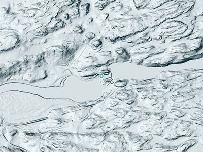
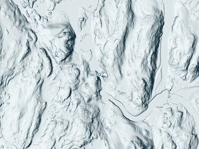
The Terrain, Seen by LiDAR
Aircraft-mounted lasers measured this ground to within inches. Trees and buildings are digitally stripped away, leaving the bare shape of the land the water has carved.
Here the descent is spread out: 1-meter lidar measures about 36 feet of drop through Fullerville Falls, stretched along the creek rather than stacked in one wall. The brink sits at about 648 feet above sea level.
Both above and below, the ground is gentle; the falls are the one abrupt step in an otherwise easy-going creek. The falls face west and glow in afternoon and evening light.
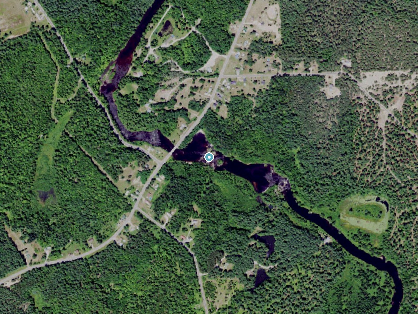
Drag to compare. The dot marks the waterfall. The frame is about a mile across.
- Ground elevation
- 648 feet
- Measured by 1-meter lidar
- Drop at the falls
- About 36 feet
- Change in ground height within ~250 feet of the falls
- Faces
- West
- Glows in afternoon and evening light.
A slice through the lidar ground surface, from above the falls to downstream (heading west).
Elevation data: USGS 3D Elevation Program. Aerial imagery: USGS The National Map. Public domain.
Location & Access
Getting There
Fullerville Falls is located near the town of Gouverneur in St. Lawrence County, New York. It can be accessed via Fullerville Road. The falls are relatively easy to find, but signage may be limited, so using GPS coordinates or a map is recommended.
Get Directions on Google MapsParking
There is limited parking available near the falls, typically along the roadside. Visitors should ensure they park safely and do not block traffic.
Elevation
646 feet above sea level
Coordinates
44.265346° N, -75.342366° W
Visitor Tips & Gear
Wear sturdy shoes, especially if visiting after rain, as the trail may be muddy. Bring a camera to capture the scenic beauty. Be mindful of parking and avoid blocking the road.
Where to Stay
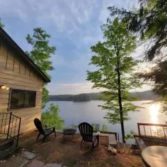
Camp Lake Bear

Hampton Inn Brockville, On

Comfort Inn
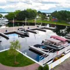
Tall Ships Landing Coastal Resort
Browse vacation cabins and private rentals nearby
Unique outdoor stays — tents, yurts, and treehouses
Rent a campervan or RV for your waterfall road trip
Some links are affiliate links. We may earn a commission at no extra cost to you.
Additional Information
Nearby Attractions
The town of Gouverneur offers small-town charm and amenities. Other nearby natural attractions include Lampson Falls and the Oswegatchie River.
Wildlife
The area around the falls is home to various bird species, small mammals, and aquatic life. Visitors may also see deer or other wildlife in the surrounding woods.
Cities near Fullerville Falls
Nearby Waterfalls
 LiDAR
 LiDAR
 LiDAR
Writing about Fullerville Falls? Embed this waterfall on your site for free.