Photo Credits (5)
Difficulty
Easy
Trail Length
1.0 miles
Trail Type
Out And Back
Elevation Gain
50 ft
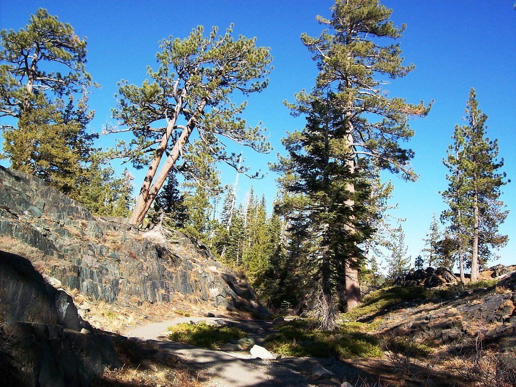
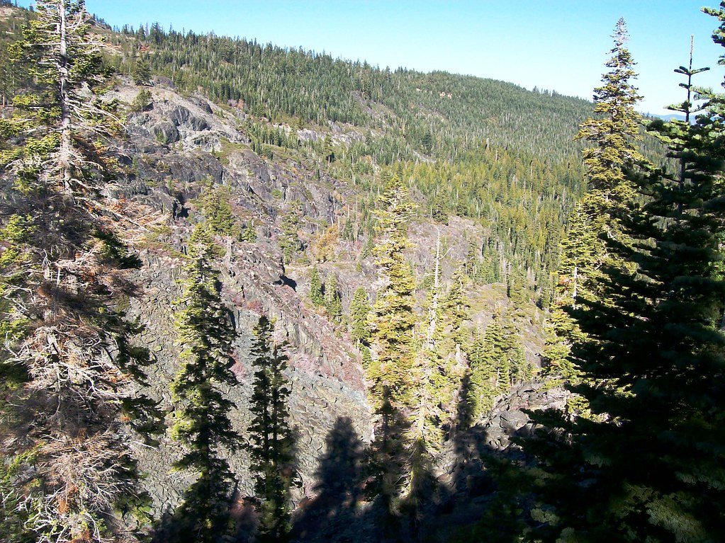
About Frazier Falls
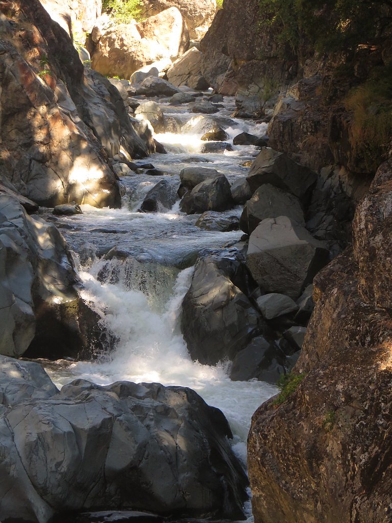
Frazier Falls is a stunning waterfall located in the Plumas National Forest in California. It is known for its impressive 176-foot drop and is accessible via a short, paved trail, making it a popular destination for visitors of all ages.
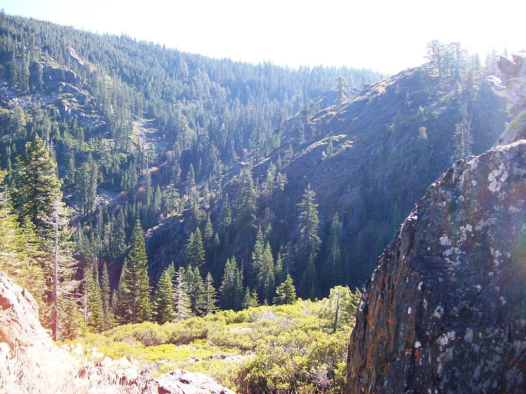
The Setting
Frazier Falls sits at 6,086 feet within Plumas National Forest, in the high mountains of California. At 176 feet, it is among the taller waterfalls in California.
Height: 176 feet
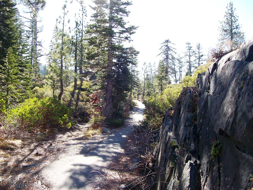
Trail & Hike Details
The Approach
The easy hike follows Frazier Falls Trail (#12E38), a 1.0-mile out-and-back trail over imported compacted material. Expect 50 feet of elevation gain with grades of 5-8%. The trail is fully developed (Class 5).
USFS Trail
FRAZIER FALLS TRAIL #12E38
Trail Class
Fully Developed
Surface
Avg Grade
USFS Segment
0.23 miTrail Description
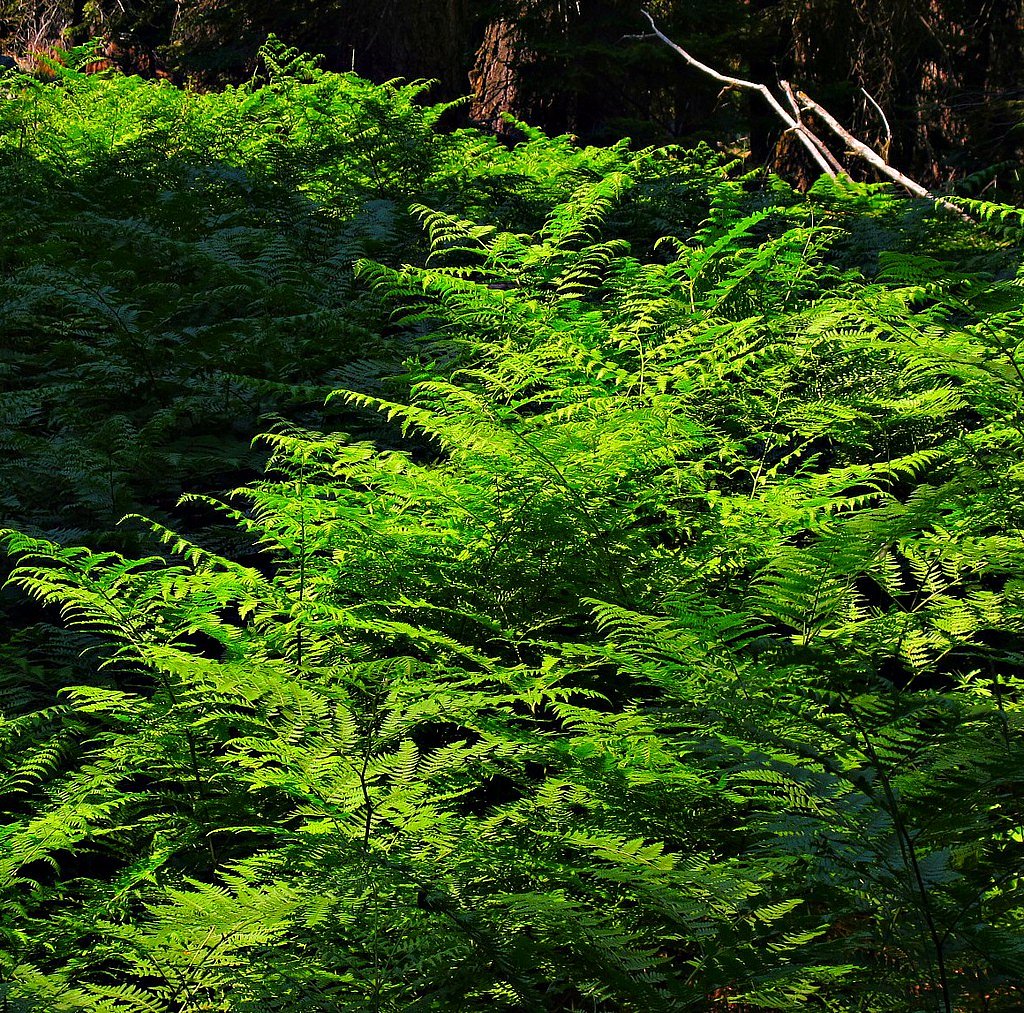
The trail to Frazier Falls is a short, paved path that is wheelchair accessible. It winds through a scenic forested area and leads to a viewing platform overlooking the waterfall. The trail is well-maintained and suitable for all skill levels.
What to Expect
The falls plunge 176 feet. Dogs are welcome.
Accessibility
The trail is not wheelchair accessible. Uneven terrain and elevation changes require steady footing.
Frequently Asked Questions
🐶 Are Dogs Allowed at Frazier Falls?
✅ Dogs are allowed
Are There Any Fees or Permits Required?
🆖 No fees required
🏊 Is There Swimming at Frazier Falls?
❌ Swimming is not allowed
When to Visit
The best time to visit Frazier Falls is in late spring or early summer when the waterfall is at its fullest due to snowmelt.
Seasonal Access
The best time to visit is Spring, Summer, and Fall. Access roads and trails may close during winter due to snow. Check with Plumas National Forest for seasonal road closures.
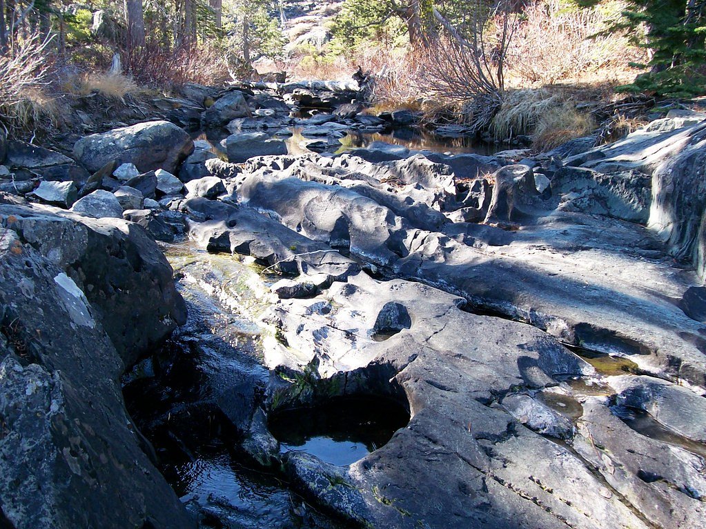
Safety Information
Stay on the designated trail and viewing platform for your safety. The rocks near the waterfall can be slippery, and the drop is steep. In winter, check for icy conditions on the trail.
Know when to go.
Get a free email alert when waterfalls near Graeagle hit peak flow. We only send when conditions are worth the trip — no weekly newsletters, no spam.
Weather Forecast
Location & Access
Getting There
Frazier Falls is located near Graeagle, California, in the Plumas National Forest. From Graeagle, take Highway 89 to Gold Lake Highway, then follow the signs to the Frazier Falls parking area.
Get Directions on Google MapsParking
There is a designated parking area near the trailhead, which is free to use. Parking is generally sufficient, but it may fill up during peak seasons.
Elevation
6,086 feet above sea level
Coordinates
39.706446° N, -120.642856° W
Land Management
Managed by USFS
Visitor Tips & Gear
Visit in the morning or early afternoon for the best lighting and to avoid crowds. Bring a camera to capture the stunning views. Check road conditions in winter, as snow may block access to the trailhead.
This trail sits at 6,086 ft above sea level
Elevated TrailUV radiation is roughly 24% stronger at this elevation than at sea level, and the dry air accelerates dehydration. Extra sun protection and fluids go a long way.
As an Amazon Associate, we earn from qualifying purchases.

Coppertone Sport SPF 50 Sunscreen
UV intensity jumps ~4% per 1,000 ft — at this elevation you can burn in half the time.

Sun Bum SPF 30 Lip Balm (3-Pack)
Lips have almost no natural UV protection and burn fast in thin, dry mountain air.

Liquid I.V. Electrolyte Packets
You lose moisture ~2x faster at elevation — electrolytes help you absorb water efficiently.

ROCKNIGHT Polarized UV400 Sunglasses
High-altitude glare off rock and water is intense — UV400 lenses block 99%+ of UVA/UVB.
As an Amazon Associate, we earn from qualifying purchases.
This easy 1.0 miles hike is straightforward — comfortable trail shoes and plenty of water should do. Sun exposure on the trail makes good sun protection a must in summer.

Polarized Sunglasses (Knockaround)
Cuts glare off the water so you actually see the falls — and your photos turn out better too.

Columbia Watertight II Rain Jacket
Packs into its own pocket, seam-sealed, and keeps you dry from spray and surprise rain.

Earth Pak Waterproof Dry Bag
Keeps your phone and gear dry when waterfall mist soaks everything else.

Waterproof Phone Pouch (AiRunTech)
Cheap insurance — take photos right next to the falls without killing your phone.

JOBY GorillaPod Starter Kit
Wraps around railings and rocks for long-exposure waterfall shots — no flat surface needed.

Osprey Daylite Daypack
Light, organized, and just the right size for a day hike — fits water, snacks, and layers.
Where to Stay

Golf & Mountain Views - Retreat in Clio

Family Haven in Graeagle CA w/King Bed Suite

Family Cabin With Hot Tub, Games, & Forest Views

Dafna, Unit 3 - Two Bedroom, One Bath
Browse vacation cabins and private rentals nearby
Unique outdoor stays — tents, yurts, and treehouses
Rent a campervan or RV for your waterfall road trip
Some links are affiliate links. We may earn a commission at no extra cost to you.
Nearby Campground
PACKSADDLE
5.7 miles away · 18 sites
Overview Packsaddle Campground is located in the Packer Lake area near the Sierra Buttes, north of the Yuba River. Visitors enjoy a wide variety of recreational activities in the area, including hiking, horseback riding, hunting, fishing, canoeing and gold panning. This facility is operated and maintained by the Tahoe National Forest. Recreation A large network of trails is available in the area, including Deer Lake Trail. This 2.9-mile trail is open to hiking, horseback riding and mountain bikin
Book on Recreation.govNearby Hot Springs
Hot springs near Graeagle, California
Mclear Warm Springs
McLear Warm Springs flows at 86°F in the high Sierra Nevada near Portola, generating a remarkable 36.5-degree temperature rise ...
Marble Hot Springs
Marble Hot Springs sits at 4,883 feet elevation in the northern Sierra Nevada, just 59 feet from Marble Hot Springs Road near P...
Campbell Hot Springs
Campbell Hot Springs produces 111-degree water near Sierraville at modest elevation with low mineral content and nearby campgro...
Spring
This thermal spring emerges at 99°F along the Feather River Highway in Plumas County, delivering water 44 degrees warmer than a...
Indian Valley Hot Springs
Indian Valley Hot Springs flows at 106 degrees Fahrenheit from the Sierra Nevada foothills at 3,900 feet elevation, with a 53-d...
Zamboni Hot Springs
Zamboni Hot Springs sits at 4,856 feet in the Sierra Nevada foothills near Cold Springs, though recent USGS measurements show c...
Looking for a soak after your hike? Explore more hot springs near Graeagle, California on SoakingSprings.
Explore California springsAdditional Information
Nearby Attractions
Nearby attractions include Gold Lake, Sardine Lakes, and the Lakes Basin Recreation Area, which offers additional hiking and outdoor activities.
Wildlife
The area is home to a variety of wildlife, including deer, birds, and squirrels. Keep an eye out for these animals along the trail.
Cities near Frazier Falls
Nearby Waterfalls
Writing about Frazier Falls? Embed this waterfall on your site for free.