Fish River Falls
By Armen Suny · Last verified Mar 2026
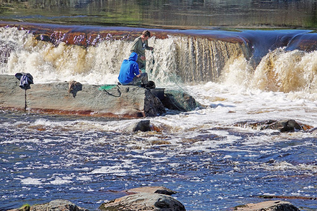
Photo Credits (3)
Difficulty
Moderate
Trail Length
2.4 miles
Trail Type
Out And Back
Elevation Gain
350 ft
About Fish River Falls
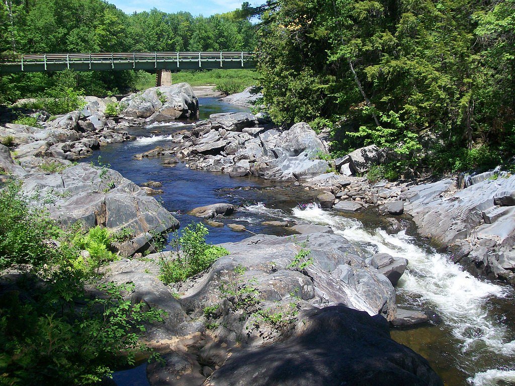
Fish River Falls is a scenic waterfall located in northern Maine, near the town of Fort Kent. It is part of the Fish River, which flows through the region's dense forests and offers a tranquil natural setting. The falls are known for their cascading waters and are a popular spot for outdoor enthusiasts.
The Setting
Fish River Falls sits at 719 feet along the Allagash River, in the foothills of Maine.
Trail & Hike Details
The Approach
The moderate 2.4-mile out-and-back trail gains 350 feet of elevation on the way to the falls.
Trail Description
The trail to Fish River Falls is a short and relatively flat path through a wooded area. It is well-maintained and suitable for most visitors, including families. The trail leads directly to a viewing area near the falls.
What to Expect
Dogs are welcome.
Accessibility
The trail is not wheelchair accessible. Uneven terrain and elevation changes require steady footing.
Frequently Asked Questions
🐶 Are Dogs Allowed at Fish River Falls?
✅ Dogs are allowed
Are There Any Fees or Permits Required?
🆖 No fees required
🏊 Is There Swimming at Fish River Falls?
❌ Swimming is not allowed
When to Visit
Spring and early summer are the best times to visit, as the water flow is strongest during these seasons. Fall offers beautiful foliage, while winter may provide a unique view of the frozen falls.
Seasonal Access
The best time to visit is Spring, Summer, and Fall. Winter access may be limited.
Safety Information
Exercise caution near the falls, as rocks can be slippery and the water currents strong. Be prepared for changing weather conditions, and carry a map or GPS device if exploring the surrounding area.
Current Water Conditions
Based on a USGS gauge 22.3 miles away
2,450 ft³/s
Current discharge — how much water is flowing
Higher than usual for this time of year
Based on 94 years of record
3.98 ft
Water depth at gauge
62°F
CoolRefreshing for swimming
7-Day Discharge Trend
What does this mean for your visit?
The water is flowing higher than usual for this time of year. Water temperature is a refreshing 62 degrees F, good for a quick swim.
About This Gauge
This gauge is on a regional waterway. Conditions at the falls may differ, especially after local rain.
7-Day Flow Outlook
Based on the USGS gauge Allagash River near Allagash, Maine (36 km away).
Today
Moderate
2793 cfs
6/10Tomorrow
Moderate
2965 cfs
6/10Mon
Moderate
2566 cfs
8/10Tue
Moderate
2635 cfs
6/10Wed
Moderate
2718 cfs
6/10Thu
Moderate
2686 cfs
6/10Fri
Moderate
2670 cfs
6/10Best window: Mon — moderate flow, sunny (trip score 8/10).
Best time of year: this gauge typically runs highest from early April to late June, peaking in May.
How we calculate this
This is a transparent outlook, not a precise forecast. We take the waterfall's current flow strength (how it ranks against its historical normal for today, from the nearest USGS stream gauge), carry that ranking forward along the gauge's seasonal curve, and nudge it for forecast rain. Confidence is highest for the next day or two and falls further out. Always check official conditions and your own judgment before visiting — high flows can be dangerous.
Know when to go.
Get a free email alert when waterfalls near Caribou hit peak flow. We only send when conditions are worth the trip — no weekly newsletters, no spam.
Weather Forecast
Location & Access
Getting There
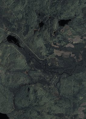
Fish River Falls is located off Route 11, near Fort Kent, Maine. Access to the falls typically involves a short hike from a nearby parking area. Visitors should follow local signage and trail markers to reach the falls.
Get Directions on Google MapsParking
There is a small parking area near the trailhead, but availability may be limited during peak seasons.
Elevation
719 feet above sea level
Coordinates
46.850596° N, -68.733379° W
Visitor Tips & Gear
Wear sturdy footwear, as the trail may be muddy or slippery, especially after rain. Bring insect repellent during warmer months to protect against mosquitoes and black flies.
As an Amazon Associate, we earn from qualifying purchases.
With 2.4 miles and 350 ft of elevation gain, sturdy boots and trekking poles will help on this moderate trail. Sun exposure on the trail makes good sun protection a must in summer.

Polarized Sunglasses (Knockaround)
Cuts glare off the water so you actually see the falls — and your photos turn out better too.

Columbia Watertight II Rain Jacket
Packs into its own pocket, seam-sealed, and keeps you dry from spray and surprise rain.

Earth Pak Waterproof Dry Bag
Keeps your phone and gear dry when waterfall mist soaks everything else.

Waterproof Phone Pouch (AiRunTech)
Cheap insurance — take photos right next to the falls without killing your phone.

Timberland Euro Sprint Mid Waterproof
Trusted waterproof boot with premium leather and grippy rubber sole — reliable on rocky, wet trails.

TrailBuddy Trekking Poles
Lightweight aluminum, cork grips, and flip-locks that actually hold — a best-seller for good reason.
Where to Stay

Spacious Eagle Lake Home w/ Fireplace & Deck

Portage Lakeside Cabins in Portage Lake, ME

Magnificent Cabin Nestled Amidst Trees in Portage Lake, Maine

Maine Vacation Rental Less Than 1 Mi to Portage Lake Beach
Browse vacation cabins and private rentals nearby
Unique outdoor stays — tents, yurts, and treehouses
Rent a campervan or RV for your waterfall road trip
Some links are affiliate links. We may earn a commission at no extra cost to you.
Additional Information
Nearby Attractions
Fort Kent State Historic Site, Allagash Wilderness Waterway, and the Fish River Scenic Byway.
Wildlife
The area is home to a variety of wildlife, including birds, deer, and small mammals. Moose sightings are also possible in the region.
Cities near Fish River Falls
Nearby Waterfalls

Other waterfalls named Fish River Falls
1 other waterfall shares this name across the U.S.
Writing about Fish River Falls? Embed this waterfall on your site for free.