Photo Credits (5)
Difficulty
Drive Up
About Falling Water Falls
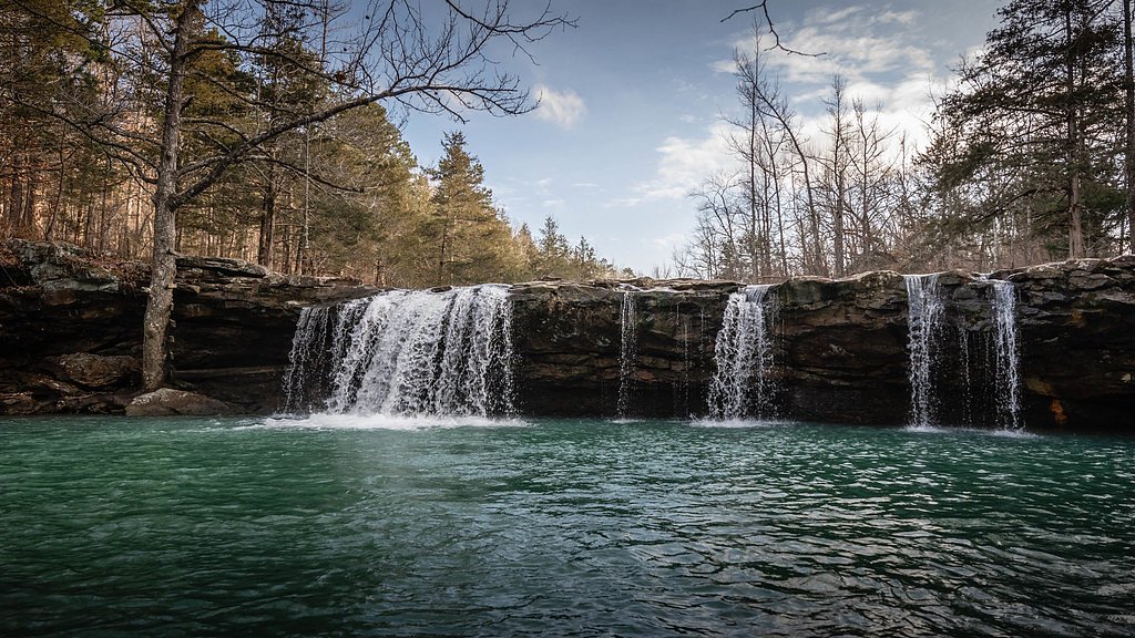
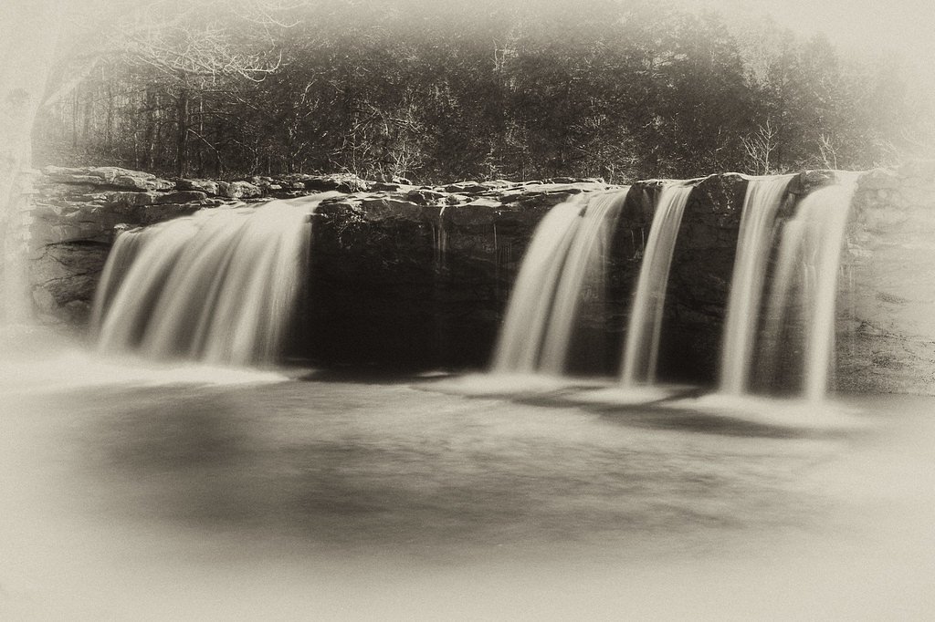
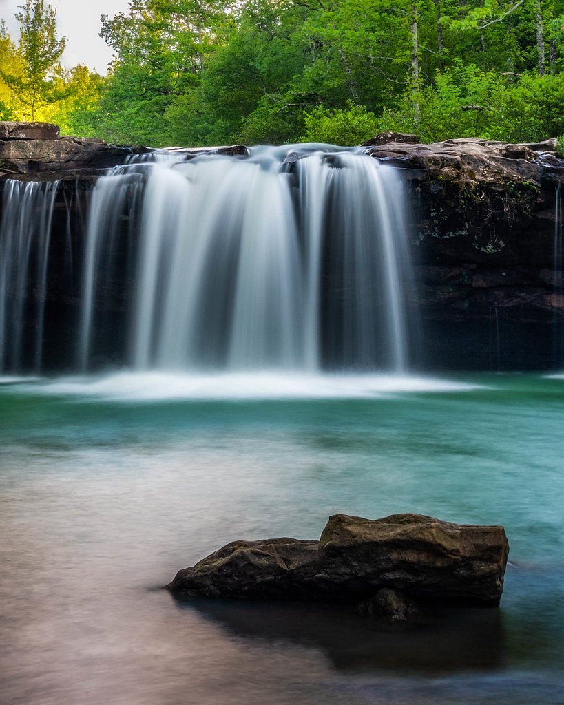
Tucked into the shade of the Ozark National Forest, Falling Water Falls is a compact but charming 10-foot cascade that tumbles over a rock ledge into a shallow pool below. Its roadside setting makes it a favorite quick stop for photographers and families — the falls look especially dramatic after rain when the flow swells and the mossy ledges darken. The forested surroundings create a peaceful, postcard-ready scene without needing a long trek. For hikers who want to stretch their legs, there’s a 2.4-mile out-and-back route that threads through the same forested terrain and gains about 350 feet, rated moderate; this trail offers closer vantage points and a bit more time in the woods for birdwatching and seasonal wildflowers. Falling Water Falls sits within the public lands of the Ozark National Forest, so you can pair a brief roadside visit with a longer hike if you prefer a more deliberate outdoor outing.
The Setting
Falling Water Falls sits at 1,358 feet in the foothills of Arkansas. The falls drop 10 feet.
Height: 10 feet
Trail & Hike Details
The Approach
No hiking required. Falling Water Falls is accessible by vehicle with a roadside viewing area.
Trail Description
Falls viewable directly from the road — no hike required to enjoy the main viewpoint. For those seeking a walk, a 2.4-mile out-and-back trail provides closer access and interpretation of the surrounding forest; the route gains roughly 350 feet and is rated moderate in difficulty. Waterfall height: approximately 10 feet. No USFS trail number or detailed surface/grade/class data were provided for this route.
What to Expect
The falls drop a gentle 10 feet. Swimming is permitted. Dogs are welcome.
Accessibility
This waterfall is viewable from a vehicle-accessible area. No hiking is required.
Frequently Asked Questions
🐶 Are Dogs Allowed at Falling Water Falls?
✅ Dogs are allowed
Are There Any Fees or Permits Required?
🆖 No fees required
🏊 Is There Swimming at Falling Water Falls?
✅ Swimming is allowed
When to Visit
Spring and after heavy rains are the best times to visit, as the water flow is strongest during these periods.
Seasonal Access
The best time to visit is Spring, Summer, Fall, and Winter.
Safety Information
Be cautious when walking near the waterfall, as rocks can be slippery. Avoid visiting during heavy rainstorms, as the creek may flood. Always supervise children and pets near the water.
Know when to go.
Get a free email alert when waterfalls near Hector hit peak flow. We only send when conditions are worth the trip — no weekly newsletters, no spam.
Weather Forecast
The Terrain, Seen by LiDAR
Aircraft-mounted lasers measured this ground to within inches. Trees and buildings are digitally stripped away, leaving the bare shape of the land the water has carved.
Here the descent is spread out: 1-meter lidar measures about 77 feet of drop through Falling Water Falls, stretched along the creek rather than stacked in one wall. That is more than the listed 10 feet because the gorge keeps dropping below the falls themselves. The brink sits at about 1,365 feet above sea level.
The ground changes about 62 feet in the 500 feet above the falls and 32 feet in the 500 feet below. Facing northeast, the falls stay mostly shaded, with soft, even light all day.
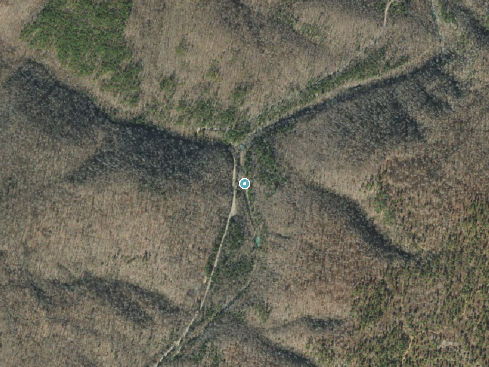
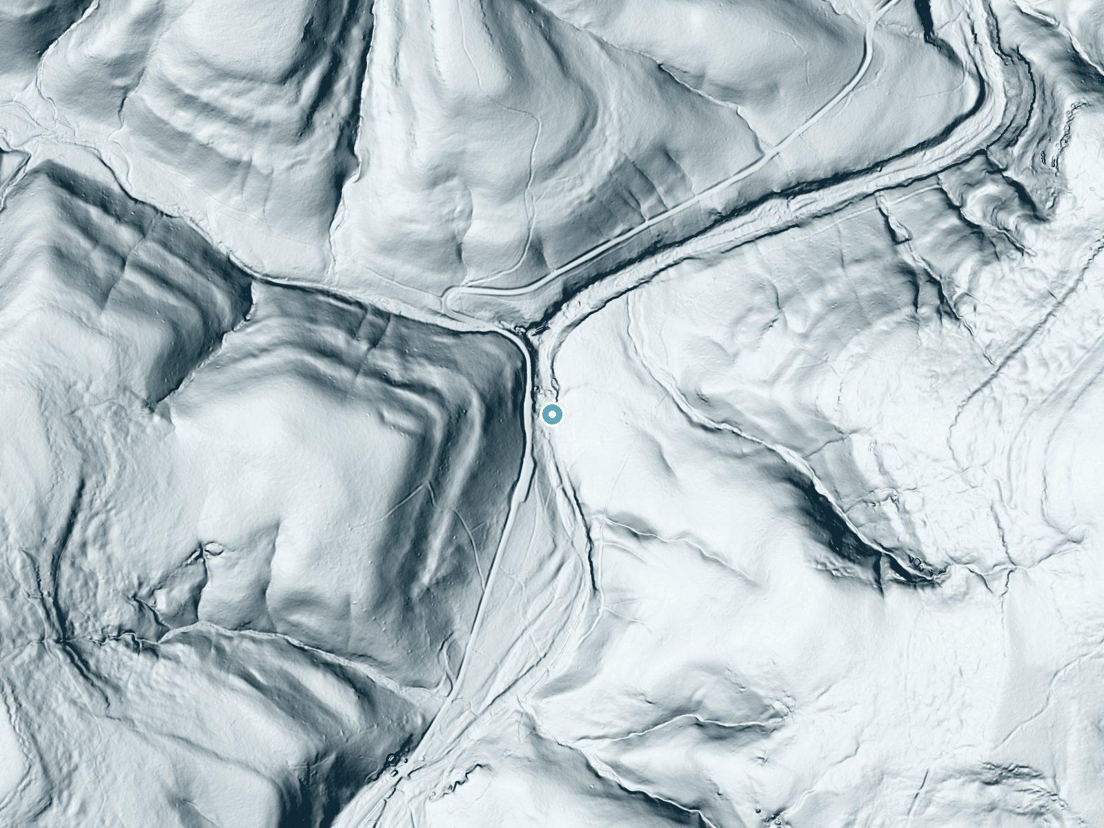
Drag to compare. The dot marks the waterfall. The frame is about a mile across.
- Ground elevation
- 1,365 feet
- Measured by 1-meter lidar
- Drop at the falls
- About 77 feet
- Change in ground height within ~250 feet of the falls
- Faces
- Northeast
- Mostly shaded, so the light stays soft and even all day.
A slice through the lidar ground surface, from above the falls to downstream (heading northeast).
Elevation data: USGS 3D Elevation Program. Aerial imagery: USGS The National Map. Public domain.
Location & Access
Getting There
Falling Water Falls is located along Falling Water Creek in the Ozark National Forest. It is accessible via Falling Water Road (County Road 1205), which is a gravel road. The waterfall is visible from the road, making it easy to access without hiking.
Get Directions on Google MapsParking
There is limited roadside parking available near the waterfall. Visitors should ensure they park safely off the road to avoid obstructing traffic.
Elevation
1,358 feet above sea level
Coordinates
35.721954° N, -92.949271° W
Visitor Tips & Gear
Visit after a period of rain for the best water flow. Be cautious when parking along the gravel road, as it can be narrow in some areas. Bring a camera to capture the scenic beauty.
Where to Stay

Buffalo River Misty Creek Lodge
Mountain Retreat Near Buffalo River - Happy Hawk
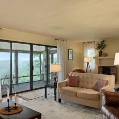
Sunrise Mountain Retreat-Summer Getaway in Jasper with a Hot Tub
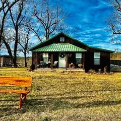
Butterfly Ridge Cabin - At the Top of the Canyon
Browse vacation cabins and private rentals nearby
Unique outdoor stays — tents, yurts, and treehouses
Rent a campervan or RV for your waterfall road trip
Some links are affiliate links. We may earn a commission at no extra cost to you.
Nearby Campground
Sams Throne Recreation Area
11.9 miles away · 0 sites
Primarily well known as a rock climbing site, Sam's Throne, near Mt. Judea, is also a popular hiking, camping and photography destination. Located up on Judea Mountain and overlooking the Big Creek valley below, the scenic views will show you why this is such a popular place.Campground and Day-Use Area Rules
Book on Recreation.govAdditional Information
Nearby Attractions
Richland Creek Wilderness, Ozark National Forest, and other waterfalls such as Richland Falls and Twin Falls.
Wildlife
The area is home to various wildlife, including birds, deer, and small mammals. Visitors may also see fish in the creek.
Cities near Falling Water Falls
Other waterfalls named Falling Water Falls
1 other waterfall shares this name across the U.S.
Writing about Falling Water Falls? Embed this waterfall on your site for free.