Difficulty
Moderate
Trail Length
2.4 miles
Trail Type
Out And Back
Elevation Gain
350 ft
About Evergreen Falls
Evergreen Falls is a tucked-away cascade framed by dense northern hardwoods on the Menominee Reservation. The falls are at their most photogenic in spring and early summer when snowmelt and seasonal rains swell the flow, turning the surrounding alder and fern carpet a vivid green. The setting feels intimate and wild — a rewarding short escape for hikers and photographers who appreciate quiet woodland waterfalls. The falls sit on tribal land (land owner: DESG) within the Menominee Reservation and are managed as tribal lands (designation: TRIB; manager: TRIB). Visitors should be mindful that this is reservation land and treat the area respectfully. If you’re planning an overnight stay, Boulder Lake campground is the nearest developed option, roughly 9.27 km away.
The Setting
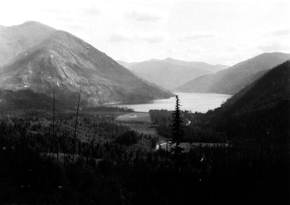
Evergreen Falls sits at 1,010 feet within Menominee Reservation, fed by the Wolf River, in the foothills of Wisconsin.
Trail & Hike Details
The Approach
The moderate 2.4-mile out-and-back trail gains 350 feet of elevation on the way to the falls.
Trail Description
The most common approach to Evergreen Falls is an out-and-back hike of about 2.4 miles with roughly 350 feet of elevation gain, typically rated moderate. The route follows a forested tread through mixed hardwoods with mostly gentle grades punctuated by a few short, steeper pitches — expect a moderately sustained climb in places rather than a completely flat walk. Trail managers list the route as moderate difficulty and out-and-back; no USFS trail name or number is provided and specific surface/grade/class details are not specified by the managing agency.
What to Expect
Visitors can expect a serene natural setting with a small but charming waterfall surrounded by trees. The area is peaceful and ideal for a short hike or a picnic.
Accessibility
The trail is not wheelchair accessible. Uneven terrain and elevation changes require steady footing.
Frequently Asked Questions
🐶 Are Dogs Allowed at Evergreen Falls?
❌ Dogs are not allowed
Are There Any Fees or Permits Required?
🆖 No fees required
🏊 Is There Swimming at Evergreen Falls?
❌ Swimming is not allowed
When to Visit
Spring and early summer are the best times to visit, as the waterfall is likely to have the most water flow during these seasons.
Seasonal Access
The best time to visit is Spring, Summer, and Fall. Winter access may be limited.
Safety Information
Visitors should be cautious of slippery rocks near the waterfall and stay on marked trails to avoid getting lost. Check weather conditions before visiting, as rain can make the trail muddy and more difficult to navigate.
Current Water Conditions
305 ft³/s
Current discharge — how much water is flowing
About average for this time of year
Based on 59 years of record
7.79 ft
Water depth at gauge
7-Day Discharge Trend
What does this mean for your visit?
Flow is about average for this time of year.
About This Gauge
This gauge is on a nearby waterway and may not reflect exact conditions at the falls.
7-Day Flow Outlook
Based on the USGS gauge WOLF RIVER AT LANGLADE, WI (15 km away).
Today
Barely Flowing
305 cfs
4/10Tomorrow
Low
346 cfs
3/10Wed
Moderate
335 cfs
4/10Thu
Moderate
340 cfs
4/10Fri
Moderate
341 cfs
4/10Sat
Moderate
358 cfs
4/10Sun
Low
325 cfs
4/10Best window: Today — barely flowing flow, mostly cloudy (trip score 4/10).
Best time of year: this gauge typically runs highest from late March to early June, peaking in April.
How we calculate this
This is a transparent outlook, not a precise forecast. We take the waterfall's current flow strength (how it ranks against its historical normal for today, from the nearest USGS stream gauge), carry that ranking forward along the gauge's seasonal curve, and nudge it for forecast rain. Confidence is highest for the next day or two and falls further out. Always check official conditions and your own judgment before visiting — high flows can be dangerous.
Know when to go.
Get a free email alert when waterfalls near Middle Village hit peak flow. We only send when conditions are worth the trip — no weekly newsletters, no spam.
Weather Forecast
Location & Access
Getting There
Evergreen Falls is located in a forested area of Wisconsin. Specific directions may vary depending on the starting point, and visitors are encouraged to use GPS or consult local maps for accurate navigation.
Get Directions on Google MapsParking
Parking availability is not well-documented, but there may be a small parking area or roadside parking near the trailhead.
Elevation
1,010 feet above sea level
Coordinates
45.062754° N, -88.685662° W
Land Management
Managed by TRIB
Visitor Tips & Gear
Wear sturdy shoes as the trail may be uneven in some areas. Bring insect repellent, especially in the summer months, as mosquitoes can be present. Check water levels before visiting, as the waterfall may have reduced flow during dry periods.
As an Amazon Associate, we earn from qualifying purchases.
With 2.4 miles and 350 ft of elevation gain, sturdy boots and trekking poles will help on this moderate trail. Sun exposure on the trail makes good sun protection a must in summer.

Columbia Watertight II Rain Jacket
Packs into its own pocket, seam-sealed, and keeps you dry from spray and surprise rain.

Earth Pak Waterproof Dry Bag
Keeps your phone and gear dry when waterfall mist soaks everything else.

Waterproof Phone Pouch (AiRunTech)
Cheap insurance — take photos right next to the falls without killing your phone.

Timberland Euro Sprint Mid Waterproof
Trusted waterproof boot with premium leather and grippy rubber sole — reliable on rocky, wet trails.

TrailBuddy Trekking Poles
Lightweight aluminum, cork grips, and flip-locks that actually hold — a best-seller for good reason.

Polarized Sunglasses (Knockaround)
Cuts glare off the water so you actually see the falls — and your photos turn out better too.
Where to Stay

Super 8 by Wyndham Antigo

Sleep Inn Antigo

Holiday Inn Express Hotel & Suites Antigo by IHG

Soak, Relax & Explore! Walk to Wolf River
Browse vacation cabins and private rentals nearby
Unique outdoor stays — tents, yurts, and treehouses
Rent a campervan or RV for your waterfall road trip
Some links are affiliate links. We may earn a commission at no extra cost to you.
Nearby Campground
BOULDER LAKE
5.8 miles away · 99 sites
Overview Boulder Lake Campground is located on the shores of Boulder Lake in northern Wisconsin. It is the forest's largest campground but campsites fill up fast. The campground is home to individual and group sites, making it an ideal location to relax with friends or family. Recreational opportunities abound. Recreation Boulder Lake provides ample opportunities for power boating, water skiing, fishing and swimming. Anglers might catch walleye, northern pike, bass or panfish. Ice fishing is also
Book on Recreation.govAdditional Information
Nearby Attractions
Nearby attractions may include other hiking trails, local parks, or small towns with dining and shopping options.
Wildlife
The area around Evergreen Falls may feature common Wisconsin wildlife such as deer, birds, and small mammals.
Cities near Evergreen Falls
Nearby Waterfalls
Writing about Evergreen Falls? Embed this waterfall on your site for free.