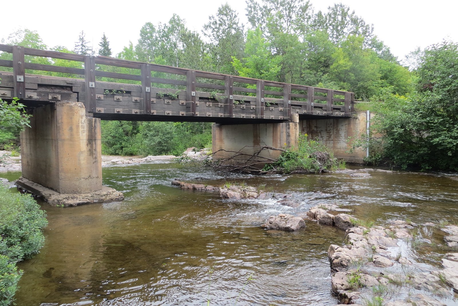
Ecstasy Falls
Michigan • 15 ft
By Armen Suny · Last verified Oct 2026
LiDAR & 3D terrain
Photo Credits (1)
Difficulty
Moderate
About Ecstasy Falls
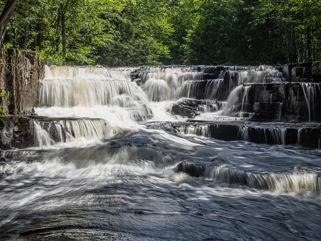
Ecstasy Falls is a stepped waterfall in the Slate River Gorge east of L'Anse in Baraga County, where the river crosses wide, flat pools that end in short drops over sharp rock lips. It falls about 15 feet in total over six steps, the tallest about 4 feet. It sits about 0.2 miles upstream of Slate River Falls and about 300 feet below Slide Falls. The USGS place-name database spells it "Ectasy Falls" and places it near the Huron River, where no fall of that name is documented.
The Setting
Ecstasy Falls sits at 719 feet in the foothills of Michigan. The falls drop 15 feet.
Height: 15 feet
Trail & Hike Details
Trail Description
There is no maintained trail. From the Skanee Road bridge over the Slate River, follow the river upstream past Slate River Falls. A path high on the east bank descends to the falls, or you can walk along the river itself, sometimes in the water.
What to Expect
The falls drop a gentle 15 feet.
Accessibility
The trail is not wheelchair accessible. Uneven terrain and elevation changes require steady footing.
Frequently Asked Questions
🐶 Are Dogs Allowed at Ecstasy Falls?
❌ Dogs are not allowed
No dog rule could be confirmed because the landowner at this location is unknown.
Are There Any Fees or Permits Required?
🆖 No fees required
🏊 Is There Swimming at Ecstasy Falls?
❌ Swimming is not allowed
When to Visit
Seasonal Access
The best time to visit is Spring, Summer, and Fall. Winter access may be limited.
Safety Information
Water temperature is currently 41°F — cold enough to cause numbness quickly. Avoid prolonged water contact and use caution near the falls.
The trail may be slippery or muddy, especially after rain. Cell service may be limited, so plan accordingly. Be aware of wildlife and take precautions against ticks and mosquitoes.
Current Water Conditions
These readings come from the USGS gauge on Salmon Trout River, 10.8 miles away, not on Ecstasy Falls's own stream. Use them as a sign of whether the area is running wet or dry.
5 ft³/s
Current discharge — how much water is flowing
About average for this time of year
Based on 21 years of record
0.37 ft
Water depth at gauge
41°F
Very coldExpect numbness within minutes
7-Day Discharge Trend
What does this mean for your visit?
Flow is about average for this time of year. Water temperature is very cold at 41 degrees F, expect numbness within minutes.
About This Gauge
This gauge is on a nearby waterway and may not reflect exact conditions at the falls.
7-Day Flow Outlook
Based on the USGS gauge SALMON TROUT RIVER NEAR BIG BAY, MI (17 km away).
Today
Barely Flowing
5 cfs
3/10Tomorrow
Low
6 cfs
4/10Fri
Low
6 cfs
4/10Sat
Low
5 cfs
4/10Sun
Barely Flowing
5 cfs
4/10Mon
Barely Flowing
4 cfs
5/10Tue
Barely Flowing
4 cfs
5/10Best window: Mon — barely flowing flow, mostly sunny (trip score 5/10).
Best time of year: this gauge typically runs highest from mid March to late May, peaking in April.
How we calculate this
This is a transparent outlook, not a precise forecast. We take the waterfall's current flow strength (how it ranks against its historical normal for today, from the nearest USGS stream gauge), carry that ranking forward along the gauge's seasonal curve, and nudge it for forecast rain. Confidence is highest for the next day or two and falls further out. Always check official conditions and your own judgment before visiting — high flows can be dangerous.
Know when to go.
Get a free email alert when waterfalls near Skanee hit peak flow. We only send when conditions are worth the trip — no weekly newsletters, no spam.
Is Ecstasy Falls Frozen?
Updated about 6 hours agoNot frozen highs above freezing lately
Ecstasy Falls is not frozen right now; highs have been above freezing. Yesterday ran 53°F to 37°F.
- Days below freezing
- 0 of the last 14
- Current cold streak
- 0 days
- Freezing days ahead
- 0 of the next 7
- Flow
- 5 ft³/s
Winter safety. Frozen falls are the one waterfall trip with a documented injury pattern: falling ice, and ice-glazed rock and trail. Wear microspikes, keep well back from the base and from overhangs, and never walk out on ice over moving water.
Estimate from Open-Meteo daily temperatures at the falls, the LiDAR-measured facing direction, and the nearest stream gauge. It is a likelihood, not a report from the trail. See every frozen waterfall in Michigan.
Weather Forecast
The Terrain, Seen by LiDAR
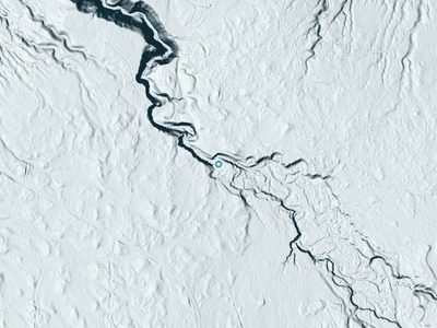
Aircraft-mounted lasers measured this ground to within inches. Trees and buildings are digitally stripped away, leaving the bare shape of the land the water has carved.
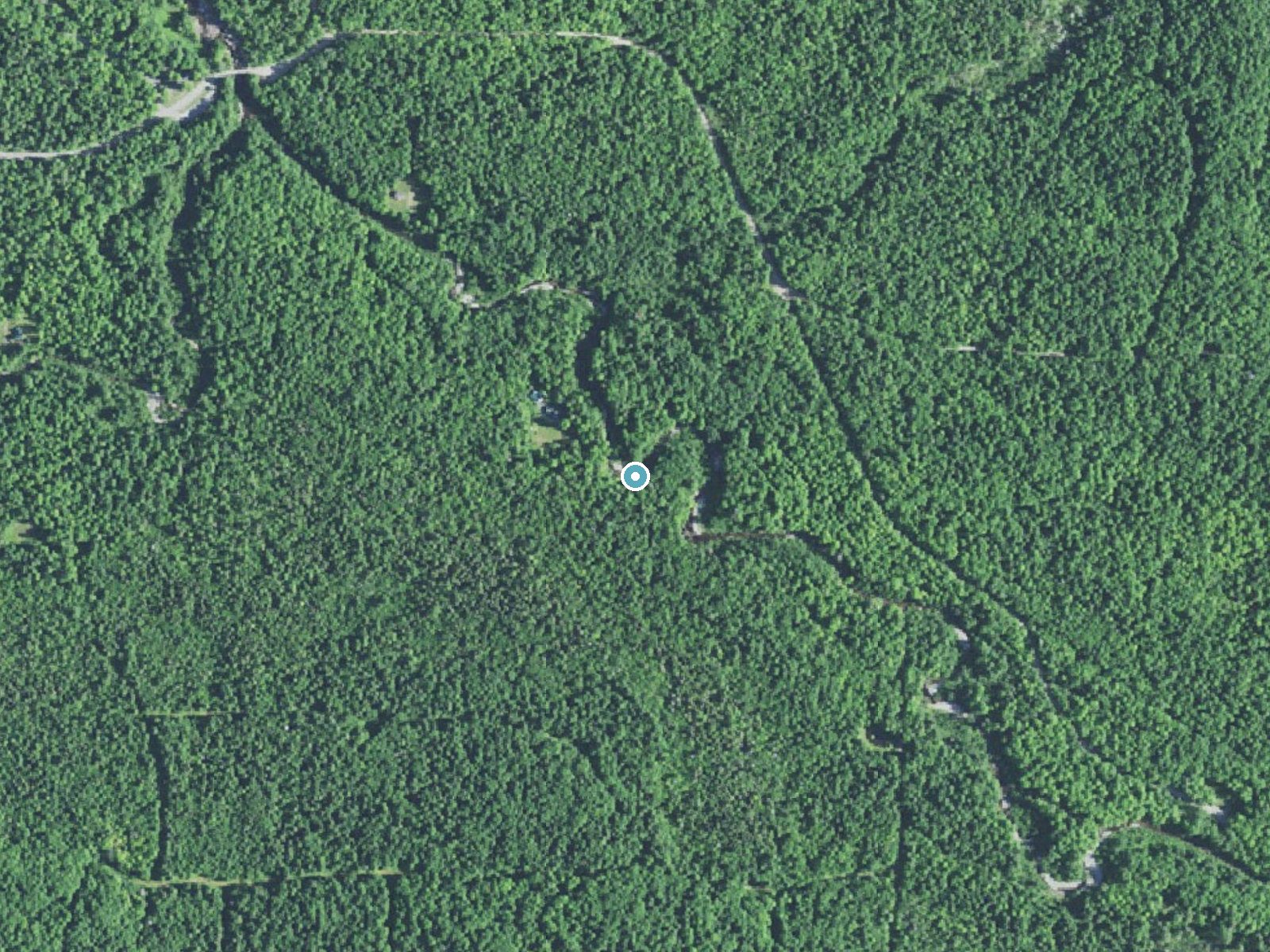
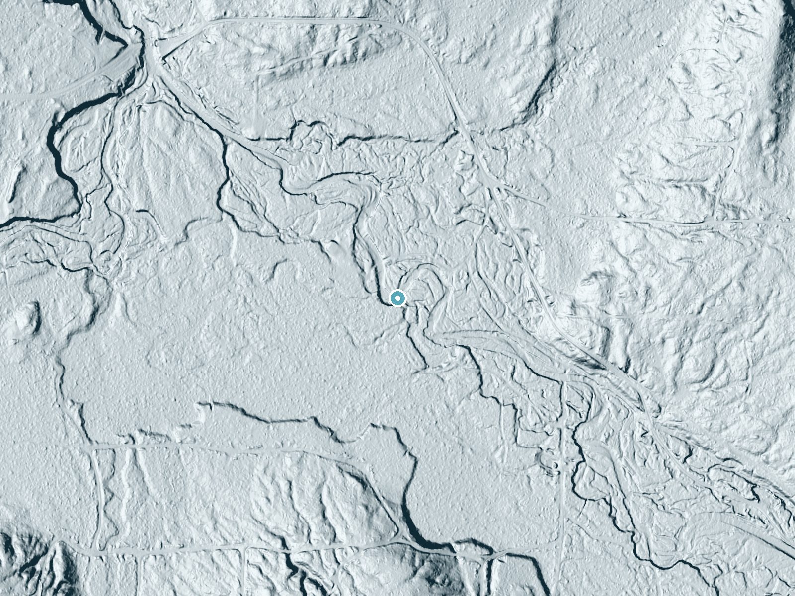
Drag to compare. The dot marks the waterfall. The frame is about a mile across.
Elevation data: USGS 3D Elevation Program. Aerial imagery: USGS The National Map. Public domain.
Location & Access
Getting There
Drive Skanee Road about 11 miles east of L'Anse to the bridge over the Slate River and park on either side of the bridge.
Get Directions on Google MapsParking
Roadside parking on either side of the Skanee Road bridge over the Slate River.
Elevation
719 feet above sea level
Coordinates
46.828340° N, -88.248550° W
Visitor Tips & Gear
Where to Stay
Independence Stay Hotel and Long term suites
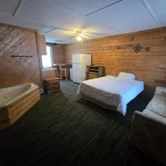
AC4 Northwoods Getaway w Jetted Tub
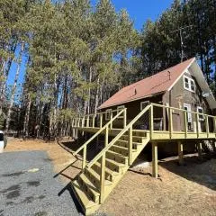
UP Escape in the Pines
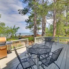
Lakefront Lookout! Private Sand Beach on Superior
Browse vacation cabins and private rentals nearby
Unique outdoor stays — tents, yurts, and treehouses
Rent a campervan or RV for your waterfall road trip
Some links are affiliate links. We may earn a commission at no extra cost to you.
Additional Information
Nearby Attractions
Big Erick's Falls and Lower Falls on the Huron River near Big Erick's Bridge, about half a mile northwest.
Wildlife
The area is home to a variety of wildlife, including deer, birds, and small mammals. Be cautious of ticks during warmer months.
Nearby Waterfalls
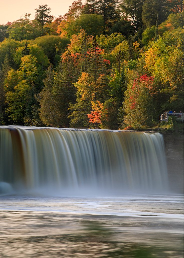
 LiDAR
Writing about Ecstasy Falls? Embed this waterfall on your site for free.