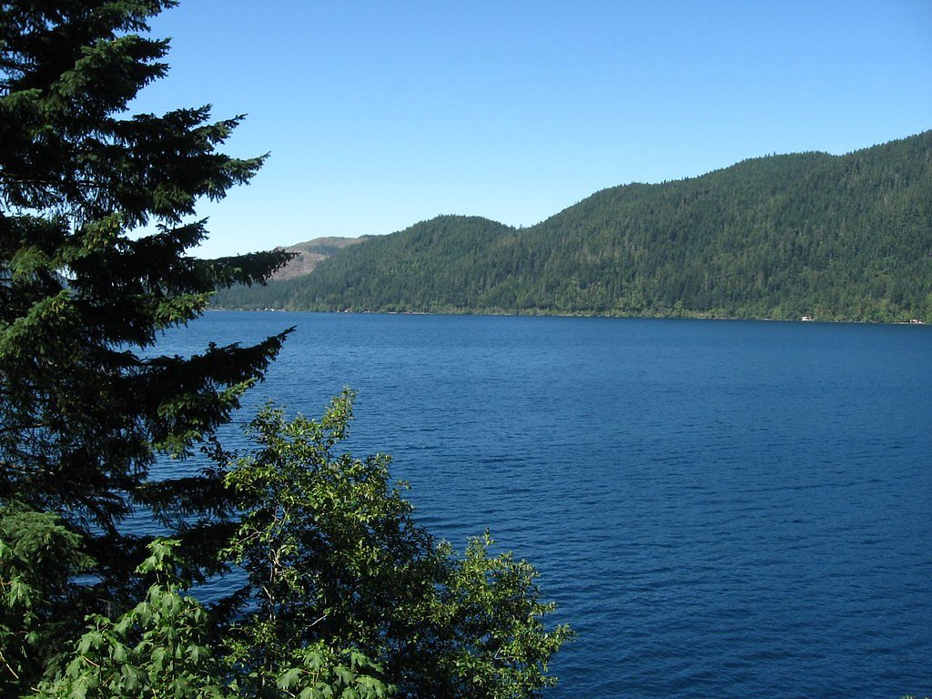
Devil Creek Falls
By Armen Suny · Last verified May 2026
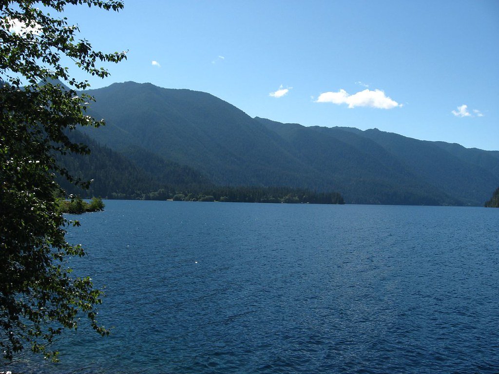
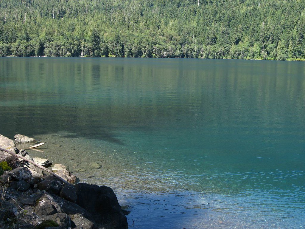
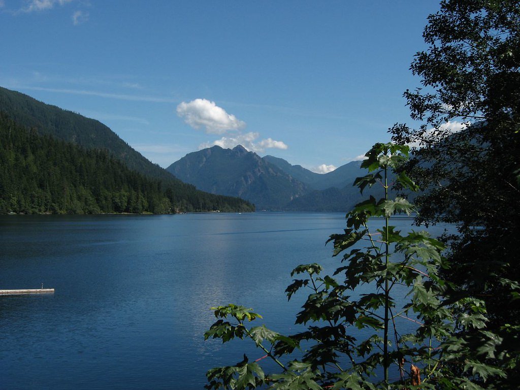
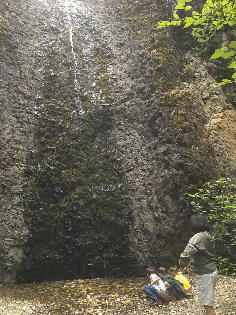
Photo Credits (4)
Difficulty
Moderate
Trail Length
2.4 miles
Trail Type
Out And Back
Elevation Gain
350 ft
About Devil Creek Falls
Devil Creek Falls is a peaceful, forested cascade tucked into Washington’s Snoqualmie National Forest, managed by the U.S. Forest Service. The falls sit along Devil Creek and are reached via a short but rewarding hike; the most commonly used approach is a 2.4-mile out-and-back route that climbs about 350 feet and is rated moderate. USFS maps also reference the nearby SWAMP CREEK SNOWMOBILE trail (Trail #SNO-1706), which is part of the same Forest trail network and noted in agency GIS data. The setting is classic Pacific Northwest—lush evergreens, mossy logs and the steady sound of running water—making the falls a great destination for photographers and day hikers looking for a quick nature escape. If you plan to stay nearby, Sawmill Flat Campground is about 2.08 km away and provides a convenient basecamp. Trails can get muddy or slippery after rain, so bring sturdy footwear and be prepared for a moderately paced climb through the woods.
The Setting
Devil Creek Falls sits at 2,930 feet within Snoqualmie National Forest, fed by the American River, in the hills of Washington.
Trail & Hike Details
The Approach
The moderate hike follows Swamp Creek Snowmobile (#SNO-1706), a 2.4-mile out-and-back trail over n/a. Expect 350 feet of elevation gain with grades of N/A.
USFS Trail
SWAMP CREEK SNOWMOBILE #SNO-1706
Trail Class
Class 0
Surface
Avg Grade
USFS Segment
8.88 miTrail Description
Trail length: 2.4 miles round-trip (out-and-back). Elevation gain: ~350 ft. Difficulty: Moderate. Trail type: Out-and-back. USFS trail reference: SWAMP CREEK SNOWMOBILE, Trail #SNO-1706 (Class: N). Surface and typical grade: N/A per USFS data. GIS miles listed for the USFS trail record: 8.88 miles. Nearest campground: Sawmill Flat Campground ~2.08 km away. Note: tread can be muddy and slippery after rain—sturdy, water-resistant footwear recommended.
What to Expect
Dogs are welcome.
Accessibility
The trail is not wheelchair accessible. Uneven terrain and elevation changes require steady footing.
Frequently Asked Questions
🐶 Are Dogs Allowed at Devil Creek Falls?
✅ Dogs are allowed
Are There Any Fees or Permits Required?
🆖 No fees required
🏊 Is There Swimming at Devil Creek Falls?
❌ Swimming is not allowed
When to Visit
Spring and early summer are ideal for visiting, as the water flow is typically strongest during these seasons.
Seasonal Access
The best time to visit is Spring, Summer, and Fall. Winter access may be limited. Check with Snoqualmie National Forest for seasonal road closures.
Safety Information
Exercise caution near the waterfall, as rocks can be slippery. Be prepared for changing weather conditions, especially in the mountains. Carry a map or GPS device if exploring further into the area.
Current Water Conditions
112 ft³/s
Current discharge — how much water is flowing
Much lower than usual for this time of year
Based on 86 years of record
72.48 ft
Water depth at gauge
7-Day Discharge Trend
What does this mean for your visit?
Flow is well below normal for this time of year, so the waterfall may be a trickle.
About This Gauge
7-Day Flow Outlook
Based on the USGS gauge AMERICAN RIVER NEAR NILE, WA (5 km away).
Today
Barely Flowing
121 cfs
3/10Tomorrow
Low
117 cfs
4/10Sat
Low
114 cfs
4/10Sun
Barely Flowing
107 cfs
5/10Mon
Barely Flowing
100 cfs
5/10Tue
Barely Flowing
99 cfs
5/10Wed
Barely Flowing
93 cfs
5/10Best window: Sun — barely flowing flow, partly sunny (trip score 5/10).
Best time of year: this gauge typically runs highest from mid April to mid July, peaking in June.
How we calculate this
This is a transparent outlook, not a precise forecast. We take the waterfall's current flow strength (how it ranks against its historical normal for today, from the nearest USGS stream gauge), carry that ranking forward along the gauge's seasonal curve, and nudge it for forecast rain. Confidence is highest for the next day or two and falls further out. Always check official conditions and your own judgment before visiting — high flows can be dangerous.
Know when to go.
Get a free email alert when waterfalls near Cliffdell hit peak flow. We only send when conditions are worth the trip — no weekly newsletters, no spam.
Weather Forecast
Location & Access
Getting There
Devil Creek Falls is located near the North Cascades region of Washington. Access is typically via Highway 20 (North Cascades Highway), with the falls situated near the Ross Lake National Recreation Area. Specific directions may vary depending on the starting point, so consulting a map or GPS is recommended.
Get Directions on Google MapsParking
Parking is available at nearby pullouts or designated areas along Highway 20. Availability may be limited during peak seasons.
Elevation
2,930 feet above sea level
Coordinates
46.956924° N, -121.105032° W
Land Management
Managed by USFS
Visitor Tips & Gear
Visit during spring or early summer for the best water flow. Bring sturdy shoes, as the trail can be muddy. Arrive early to secure parking, especially during weekends or holidays.
As an Amazon Associate, we earn from qualifying purchases.
With 2.4 miles and 350 ft of elevation gain, sturdy boots and trekking poles will help on this moderate trail. Sun exposure on the trail makes good sun protection a must in summer.

Polarized Sunglasses (Knockaround)
Cuts glare off the water so you actually see the falls — and your photos turn out better too.

Columbia Watertight II Rain Jacket
Packs into its own pocket, seam-sealed, and keeps you dry from spray and surprise rain.

Earth Pak Waterproof Dry Bag
Keeps your phone and gear dry when waterfall mist soaks everything else.

Waterproof Phone Pouch (AiRunTech)
Cheap insurance — take photos right next to the falls without killing your phone.

Timberland Euro Sprint Mid Waterproof
Trusted waterproof boot with premium leather and grippy rubber sole — reliable on rocky, wet trails.

TrailBuddy Trekking Poles
Lightweight aluminum, cork grips, and flip-locks that actually hold — a best-seller for good reason.
Where to Stay

4008 Cozy ONE Bedroom in Suncadia with Heated Pool Access

Suncadia Resort Luxury Suite with Amazing Mountain Views

Secluded Greenwater Cabin with Loft Near Rainier

The Cabin
Browse vacation cabins and private rentals nearby
Unique outdoor stays — tents, yurts, and treehouses
Rent a campervan or RV for your waterfall road trip
Some links are affiliate links. We may earn a commission at no extra cost to you.
Nearby Campground
SAWMILL FLAT CAMPGROUND
1.3 miles away · 24 sites
Overview Sawmill Flat Campground is located along the Naches River in the Northern Cascade Range of Washington. The campground provides and ideal setting for both individual and family camping excursions.Recreation Okanogan-Wenatchee National Forest offers a multitude of recreational activities for its visitors. In addition to being a prime location for hiking, fishing, hunting, horseback riding and mountain biking in summer and early fall, the area provides excellent skiing and snowshoeing in th
Book on Recreation.govNearby Hot Springs
Hot springs near Cliffdell, Washington

Ohanapecosh Hot Springs
Ohanapecosh Hot Springs flows at 122 degrees within Mount Rainier National Park at 1,920 feet elevation, emerging 74.5 degrees ...
Lester Hot Springs
This 120-degree spring sits within the City of Tacoma Watershed at 1,582 feet elevation, emerging 72.3 degrees above ambient in...
Simcoe Soda Springs
Simcoe Soda Springs flows at 90 degrees Fahrenheit on Yakama Nation Reservation tribal land in Yakima County near Tieton, with ...

Mt Rainier Fumaroles
Mount Rainier fumaroles reach 162 degrees at 14,217 feet elevation, emerging 154.8 degrees above ambient at Washington's highes...
Goldmeyer Hot Springs
Goldmeyer Hot Springs emerges at 127 degrees in the central Cascades, producing water 78.9 degrees above ambient temperature at...

Longmire Mineral Springs
Longmire Mineral Springs flows at 77 degrees within Mount Rainier National Park at 2,758 feet elevation, emerging 31.9 degrees ...
Looking for a soak after your hike? Explore more hot springs near Cliffdell, Washington on SoakingSprings.
Explore Washington springsAdditional Information
Nearby Attractions
Ross Lake National Recreation Area, Diablo Lake, and the North Cascades National Park are all nearby and worth exploring.
Wildlife
The area is home to various wildlife, including birds, deer, and small mammals. Visitors should be cautious of bears and other larger animals in the region.
Cities near Devil Creek Falls
Nearby Waterfalls
Writing about Devil Creek Falls? Embed this waterfall on your site for free.