
Cushing Falls
By Armen Suny · Last verified May 2026
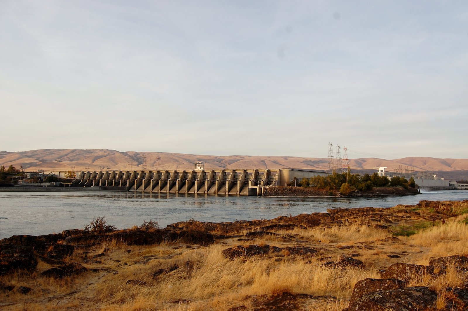

Photo Credits (2)
Difficulty
Drive Up
Trail Length
0.1 miles
Trail Type
Out And Back
Elevation Gain
50 ft
About Cushing Falls
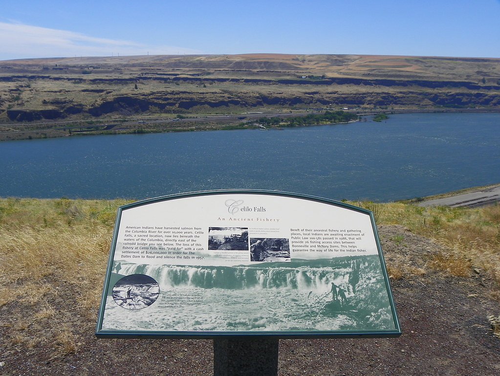
Cushing Falls (also called Deadman Falls) is a small but photogenic cascade where Fifteenmile Creek drops about 8 feet to the Columbia River, located just south of Seufert County Park and a few miles east of The Dalles in Wasco County, Oregon. Nestled within the Columbia River Gorge National Scenic Area and managed by the U.S. Forest Service (land owner: DESG; designation: NSBV), the falls sit in the drier, more open landscape of the eastern gorge rather than the lusher western flank, offering a stark, rugged riverside setting framed by basalt cliffs and shoreline scrub. Despite its modest height, Cushing Falls makes a rewarding quick stop for travelers and local hikers who enjoy dramatic river views in a low-key setting. Camping is nearby at Columbia Hills State Park (about 3.79 km away), so the falls are an easy addition to a short outing or overnight trip. Visitors should come prepared for informal access and exercise caution near the water and cliff edges when taking photos or exploring.
The Setting
Cushing Falls sits at 121 feet within Columbia River Gorge National Scenic Area, fed by the Columbia River, in the coastal lowlands of Oregon.
Trail & Hike Details
The Approach
No hiking required. Cushing Falls is accessible by vehicle with a roadside viewing area.
Trail Description
Access is essentially a very short out-and-back, approximately 0.1 miles with about 50 feet of elevation gain. The route is rated as a "drive_up" difficulty—there is no long maintained trail to the viewpoint, and most visitors park nearby and follow an informal path or short scramble over uneven ground to reach the falls. Expect unmarked, unmanaged terrain rather than a developed trail; no official USFS trail number is listed for this access.
What to Expect
Visitors can expect a remote and rugged setting with views of the Deschutes River and basalt cliffs. The falls are a scenic highlight, but the area may lack amenities such as restrooms or picnic areas.
Accessibility
This waterfall is viewable from a vehicle-accessible area. No hiking is required.
Frequently Asked Questions
🐶 Are Dogs Allowed at Cushing Falls?
❌ Dogs are not allowed
Are There Any Fees or Permits Required?
🆖 No fees required
🏊 Is There Swimming at Cushing Falls?
❌ Swimming is not allowed
When to Visit
Spring and early summer are ideal times to visit, as water flow is typically higher during these seasons.
Seasonal Access
The best time to visit is Spring, Summer, and Fall. Winter access may be limited.
Safety Information
The area around the falls can be slippery and uneven. Visitors should exercise caution near the edge of cliffs and avoid visiting during inclement weather. Cell service may be limited, so inform someone of your plans before visiting.
Current Water Conditions
172,000 ft³/s
Current discharge — how much water is flowing
Much lower than usual for this time of year
Based on 146 years of record
76.45 ft
Water depth at gauge
67°F
CoolRefreshing for swimming
7-Day Discharge Trend
What does this mean for your visit?
Flow is well below normal for this time of year, so the waterfall may be a trickle. Water temperature is a refreshing 67 degrees F, good for a quick swim.
About This Gauge
7-Day Flow Outlook
Based on the USGS gauge COLUMBIA RIVER AT THE DALLES, OR (5 km away).
Today
Strong
185760 cfs
8/10Tomorrow
Strong
178391 cfs
10/10Sun
Moderate
169180 cfs
9/10Mon
Moderate
163541 cfs
9/10Tue
Moderate
156022 cfs
9/10Wed
Moderate
154612 cfs
9/10Thu
Moderate
154142 cfs
9/10Best window: Tomorrow — strong flow, mostly sunny (trip score 10/10).
Best time of year: this gauge typically runs highest from late April to late July, peaking in June.
How we calculate this
This is a transparent outlook, not a precise forecast. We take the waterfall's current flow strength (how it ranks against its historical normal for today, from the nearest USGS stream gauge), carry that ranking forward along the gauge's seasonal curve, and nudge it for forecast rain. Confidence is highest for the next day or two and falls further out. Always check official conditions and your own judgment before visiting — high flows can be dangerous.
Know when to go.
Get a free email alert when waterfalls near The Dalles hit peak flow. We only send when conditions are worth the trip — no weekly newsletters, no spam.
Weather Forecast
Location & Access
Getting There
Cushing Falls is located near the Deschutes River in Sherman County, Oregon. Access is typically via gravel roads, and the area is remote. Visitors should use a reliable map or GPS to navigate to the site.
Get Directions on Google MapsParking
Parking may be available near the falls, but it is limited and may require parking along the roadside. Visitors should ensure they are not blocking access roads.
Elevation
121 feet above sea level
Coordinates
45.611734° N, -121.119762° W
Land Management
Managed by USFS
Visitor Tips & Gear
Bring plenty of water, wear sturdy footwear, and be prepared for uneven terrain. Cell service may be limited, so plan accordingly. Check weather conditions before visiting, as the area can become muddy or slippery after rain.
As an Amazon Associate, we earn from qualifying purchases.
For this easy 0.1 miles trail, lightweight trail shoes and a water bottle are usually sufficient. Sun exposure on the trail makes good sun protection a must in summer.

Polarized Sunglasses (Knockaround)
Cuts glare off the water so you actually see the falls — and your photos turn out better too.

Columbia Watertight II Rain Jacket
Packs into its own pocket, seam-sealed, and keeps you dry from spray and surprise rain.

Earth Pak Waterproof Dry Bag
Keeps your phone and gear dry when waterfall mist soaks everything else.

Waterproof Phone Pouch (AiRunTech)
Cheap insurance — take photos right next to the falls without killing your phone.

JOBY GorillaPod Starter Kit
Wraps around railings and rocks for long-exposure waterfall shots — no flat surface needed.

OR Sombriolet Sun Hat
UPF 50+ sun protection with vents so your head doesn't cook on exposed trail sections.
Where to Stay

Celilo Inn

Comfort Inn Columbia Gorge

Cousin's Country Inn

Columbia River Hotel and Conference Center, an Ascend Collection Hotel
Browse vacation cabins and private rentals nearby
Unique outdoor stays — tents, yurts, and treehouses
Rent a campervan or RV for your waterfall road trip
Some links are affiliate links. We may earn a commission at no extra cost to you.
Nearby Campground
Columbia Hills State Park
2.4 miles away · 0 sites
This recreation area is part of The Dalles Lock and Dam, Lake Celilo
Book on Recreation.govNearby Hot Springs
Hot springs near The Dalles, Oregon
Klickitat Mineral Springs
Klickitat Mineral Springs produces 81-degree water at just 481 feet elevation on state conservation lands, flowing 27.9 degrees...
Fish Hatchery Warm Spring
Fish Hatchery Warm Spring produces 75-degree water on Yakama Nation Reservation lands, flowing 23.7 degrees above ambient tempe...

Collins Hot Springs
Collins Hot Springs emerges at 122 degrees just 127 feet above sea level in the Columbia River Gorge, producing water 68.4 degr...
St Martins Hot Springs
St. Martins Hot Springs flows at 120 degrees Fahrenheit at just 432 feet elevation in the Columbia River Gorge near Carson in S...

Mount Hood Fumaroles
Mount Hood Fumaroles vent at 194°F from the flanks of Oregon's highest peak, among the state's most extreme geothermal features...
Moffetts (Bonneville) Hot Springs
Moffetts Hot Springs, also called Bonneville Hot Springs, flows at 97 degrees in the Gifford Pinchot National Forest at just 75...
Looking for a soak after your hike? Explore more hot springs near The Dalles, Oregon on SoakingSprings.
Explore Oregon springsAdditional Information
Nearby Attractions
The Deschutes River offers opportunities for fishing, rafting, and hiking. Nearby towns such as Maupin provide additional amenities and activities.
Wildlife
The area is home to various wildlife, including birds, deer, and fish. Visitors should respect the natural habitat and avoid disturbing animals.
Cities near Cushing Falls
Nearby Waterfalls
Writing about Cushing Falls? Embed this waterfall on your site for free.