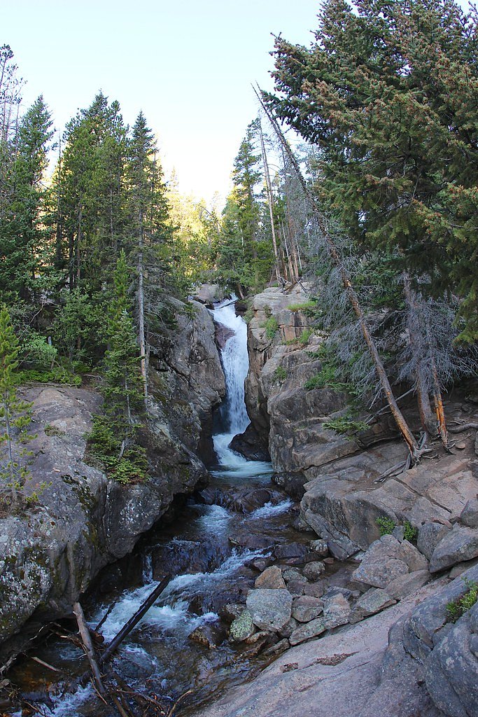
Chasm Falls
Colorado • Rocky Mountain National Park
By Armen Suny · Last verified Oct 2026
LiDAR & 3D terrain


Photo Credits (5)
Difficulty
Easy
Trail Length
0.6 miles
Trail Type
Out And Back
Elevation Gain
100 ft
About Chasm Falls
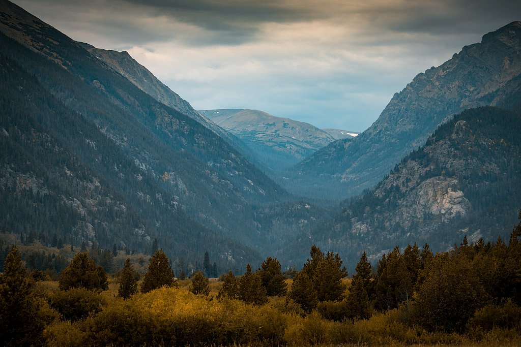
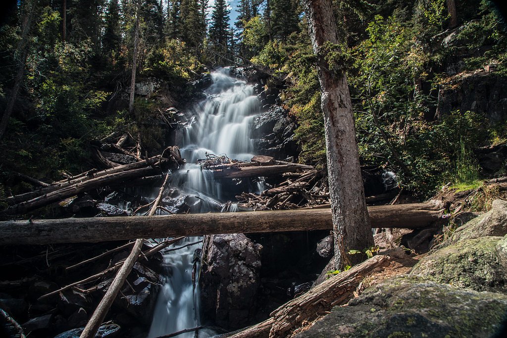
Chasm Falls is a picturesque waterfall located in Rocky Mountain National Park, Colorado. It cascades down a rocky gorge along the Fall River, offering stunning views and a serene atmosphere. The waterfall is a popular stop for visitors exploring the Old Fall River Road.
The Setting
Chasm Falls sits at 9,055 feet within Rocky Mountain National Park, in the high alpine of Colorado.
Trail & Hike Details
The Approach
The easy 0.6-mile out-and-back trail gains 100 feet of elevation on the way to the falls.
Trail Description
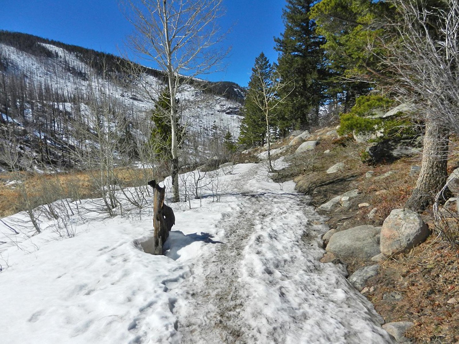
The trail to Chasm Falls is a short and easy hike from the parking area. It follows a well-maintained path with minimal elevation gain, making it accessible for most visitors. The trail provides beautiful views of the surrounding forest and leads directly to a viewing area for the falls.
What to Expect
Visitors can expect a short, scenic hike to a stunning waterfall surrounded by lush forest. The falls are especially impressive in the spring and early summer when water flow is at its peak. The area is peaceful and offers great opportunities for photography.
Accessibility
The trail is short and relatively flat, but the surface may be uneven. Contact the managing agency for accessibility details.
Frequently Asked Questions
🐶 Are Dogs Allowed at Chasm Falls?
❌ Dogs are not allowed
Pets aren't allowed on any trail, tundra or meadow in Rocky Mountain National Park; leashed pets may stay on roads, parking areas, campgrounds and picnic areas.
Are There Any Fees or Permits Required?
🤑 Fee: $30.00
Permit required
A timed entry reservation is required to access Rocky Mountain National Park during peak season (May through October). Additionally, a park entrance fee is required.
🏊 Is There Swimming at Chasm Falls?
❌ Swimming is not allowed
When to Visit
The best time to visit Chasm Falls is in the late spring or early summer when the snowmelt increases the water flow. Fall is also a great time to visit for colorful foliage.
Seasonal Access
The best time to visit is Spring, Summer, and Fall. Access roads and trails may close during winter due to snow. Check with Rocky Mountain National Park for current conditions.
Safety Information
Be cautious of slippery rocks near the waterfall. Stay on designated trails and viewing areas to avoid accidents. Weather in the mountains can change rapidly, so be prepared for sudden storms or temperature drops.
Current Water Conditions
These readings come from the USGS gauge on Michigan River, 11.5 miles away, not on Chasm Falls's own stream. Use them as a sign of whether the area is running wet or dry.
0 ft³/s
Current discharge — how much water is flowing
Lower than usual for this time of year
Based on 53 years of record
2.13 ft
Water depth at gauge
7-Day Discharge Trend
What does this mean for your visit?
Flow is lower than usual for this time of year.
About This Gauge
This gauge is on a nearby waterway and may not reflect exact conditions at the falls.
7-Day Flow Outlook
Based on the USGS gauge MICHIGAN RIVER NEAR CAMERON PASS, CO (18 km away).
Today
Barely Flowing
0 cfs
5/10Tomorrow
Barely Flowing
0 cfs
5/10Tue
Barely Flowing
0 cfs
5/10Wed
Barely Flowing
0 cfs
5/10Thu
Barely Flowing
0 cfs
5/10Fri
Barely Flowing
0 cfs
5/10Sat
Barely Flowing
0 cfs
5/10Best window: Today — barely flowing flow, sunny (trip score 5/10).
Best time of year: this gauge typically runs highest from mid May to mid August, peaking in June.
How we calculate this
This is a transparent outlook, not a precise forecast. We take the waterfall's current flow strength (how it ranks against its historical normal for today, from the nearest USGS stream gauge), carry that ranking forward along the gauge's seasonal curve, and nudge it for forecast rain. Confidence is highest for the next day or two and falls further out. Always check official conditions and your own judgment before visiting — high flows can be dangerous.
Know when to go.
Get a free email alert when waterfalls near Estes Park hit peak flow. We only send when conditions are worth the trip — no weekly newsletters, no spam.
Is Chasm Falls Frozen?
Updated about 7 hours agoNot frozen highs above freezing lately
Chasm Falls is not frozen right now; highs have been above freezing. Yesterday ran 53°F to 29°F.
- Days below freezing
- 0 of the last 14
- Current cold streak
- 0 days
- Freezing days ahead
- 0 of the next 7
- Flow
- 0 ft³/s
Winter safety. Frozen falls are the one waterfall trip with a documented injury pattern: falling ice, and ice-glazed rock and trail. Wear microspikes, keep well back from the base and from overhangs, and never walk out on ice over moving water.
Estimate from Open-Meteo daily temperatures at the falls, the LiDAR-measured facing direction, and the nearest stream gauge. It is a likelihood, not a report from the trail. See every frozen waterfall in Colorado.
Weather Forecast
The Terrain, Seen by LiDAR
Aircraft-mounted lasers measured this ground to within inches. Trees and buildings are digitally stripped away, leaving the bare shape of the land the water has carved.
The ground through the falls loses about 175 feet in steep steps rather than one leap. The ground at the falls is roughly 9,068 feet above sea level.
The whole reach is steep: about 120 feet of descent in the 500 feet above the falls and another 75 feet in the 500 feet below. The falls face east and catch soft morning light.
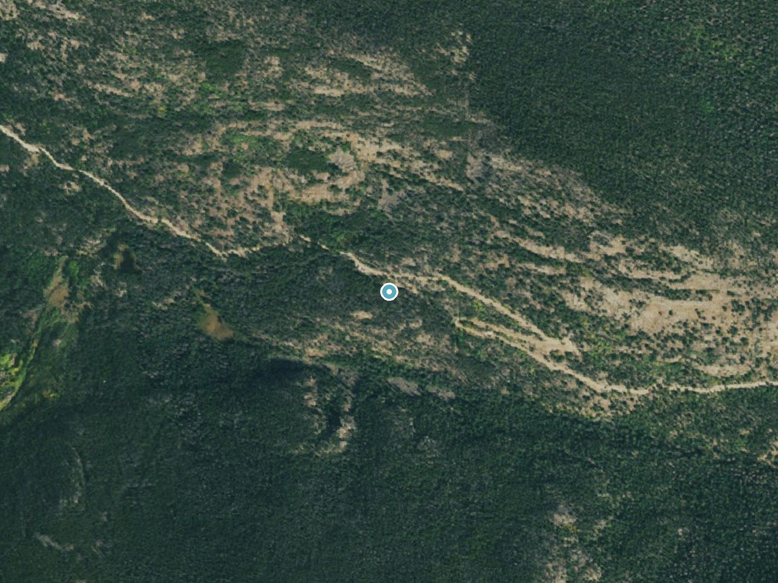
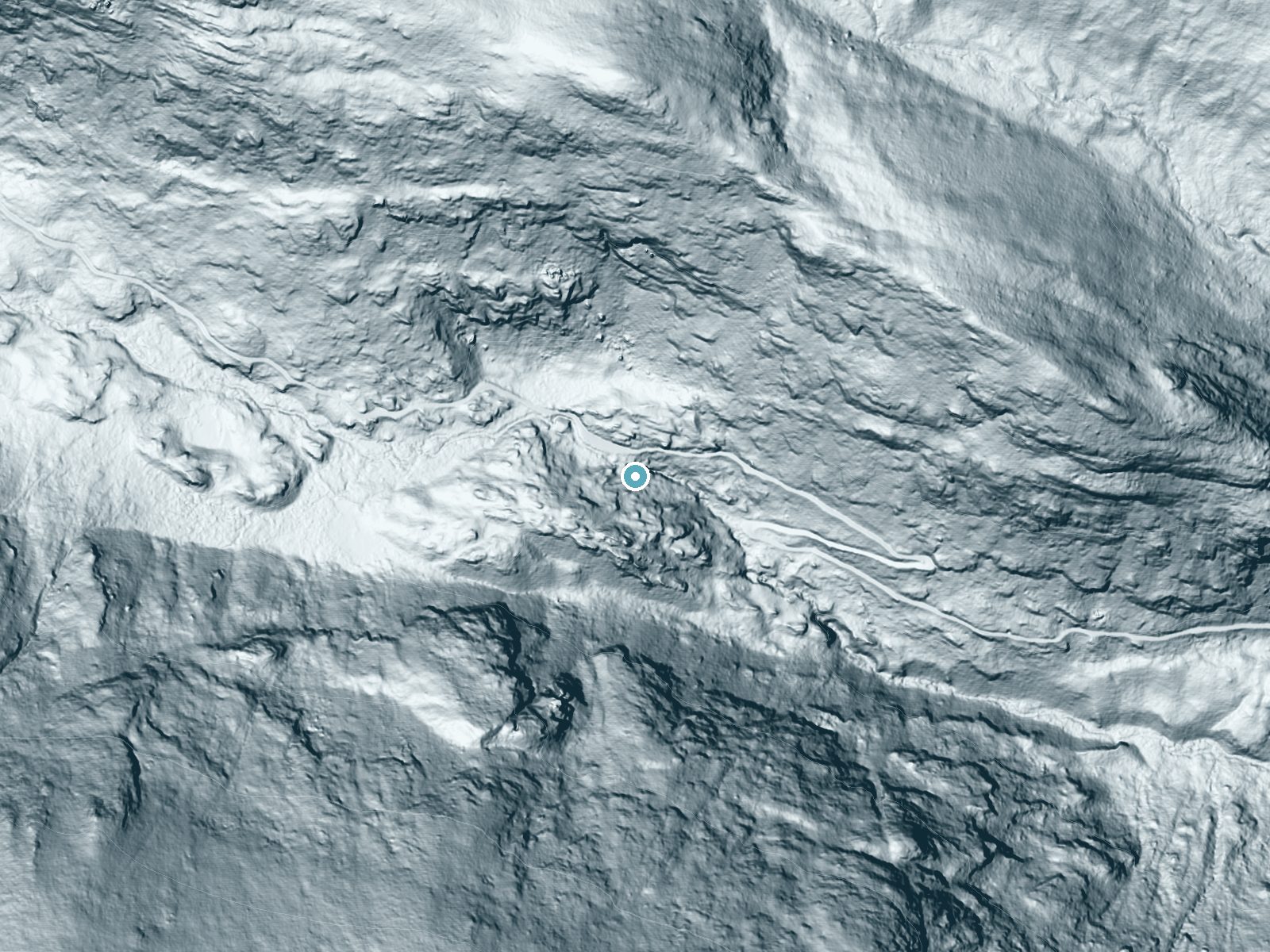
Drag to compare. The dot marks the waterfall. The frame is about a mile across.
- Ground elevation
- 9,068 feet
- Measured by 1-meter lidar
- Drop at the falls
- About 175 feet
- Change in ground height within ~250 feet of the falls
- Faces
- East
- Catches soft morning light.
A slice through the lidar ground surface, from above the falls to downstream (heading east).
Elevation data: USGS 3D Elevation Program. Aerial imagery: USGS The National Map. Public domain.
Location & Access
Getting There
Chasm Falls is located along the Old Fall River Road in Rocky Mountain National Park. The road is a one-way, unpaved route that is typically open from late June to early October, depending on weather conditions. Visitors can access the falls by driving along this scenic road.
Get Directions on Google MapsParking
There is a small parking area near the trailhead for Chasm Falls along Old Fall River Road. Parking may be limited during peak times.
Elevation
9,055 feet above sea level
Coordinates
40.416761° N, -105.672617° W
Land Management
Managed by NPS
Visitor Tips & Gear
Arrive early in the day to secure parking, especially during the summer months. Be prepared for cooler temperatures, as the area is at a higher elevation. Check the status of Old Fall River Road before visiting, as it may be closed due to weather conditions.
This trail sits at 9,055 ft — the air is noticeably thinner
High AltitudeSome visitors experience headaches, fatigue, or shortness of breath at this elevation. Take it slow, stay hydrated, and consider supplemental oxygen if you're coming from a lower altitude.
As an Amazon Associate, we earn from qualifying purchases.

Coppertone Sport SPF 50 Sunscreen
UV intensity jumps ~4% per 1,000 ft — at this elevation you can burn in half the time.

Sun Bum SPF 30 Lip Balm (3-Pack)
Lips have almost no natural UV protection and burn fast in thin, dry mountain air.

Liquid I.V. Electrolyte Packets
You lose moisture ~2x faster at elevation — electrolytes help you absorb water efficiently.

ROCKNIGHT Polarized UV400 Sunglasses
High-altitude glare off rock and water is intense — UV400 lenses block 99%+ of UVA/UVB.

Boost Oxygen 10L Canister (2-Pack)
Portable supplemental oxygen for quick relief from headaches and shortness of breath.

Altitude Rx OxyBoost Complex
Antioxidant formula designed to support your body's natural altitude acclimation.
As an Amazon Associate, we earn from qualifying purchases.
For this easy 0.6 miles trail, lightweight trail shoes and a water bottle are usually sufficient. Sun exposure on the trail makes good sun protection a must in summer.
America the Beautiful Annual Pass
Covers entrance fees at 2,000+ federal recreation sites — required at most National Parks.

Polarized Sunglasses (Knockaround)
Cuts glare off the water so you actually see the falls — and your photos turn out better too.

Columbia Watertight II Rain Jacket
Packs into its own pocket, seam-sealed, and keeps you dry from spray and surprise rain.

Earth Pak Waterproof Dry Bag
Keeps your phone and gear dry when waterfall mist soaks everything else.
Waterproof Phone Pouch (AiRunTech)
Cheap insurance — take photos right next to the falls without killing your phone.

JOBY GorillaPod Starter Kit
Wraps around railings and rocks for long-exposure waterfall shots — no flat surface needed.

Osprey Daylite Daypack
Light, organized, and just the right size for a day hike — fits water, snacks, and layers.
Where to Stay
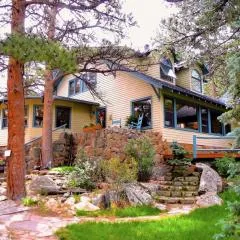
Riversong Inn Retreat
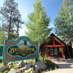
Boulder Brook on Fall River

Creekside Suites 12 by Estes Park Condos
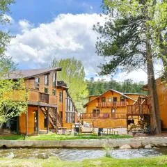
Murphy's River Lodge
Browse vacation cabins and private rentals nearby
Unique outdoor stays — tents, yurts, and treehouses
Rent a campervan or RV for your waterfall road trip
Some links are affiliate links. We may earn a commission at no extra cost to you.
Nearby Campground
Tom Bennett Campground
11.9 miles away · 0 sites
Located near Pingree Park, this campground is situated adjacent to the South Fork Cache la Poudre River in a lodgepole pine forest setting. This campground provides a primitive camping experience in a remote location. There are ten sites, each with a picnic table and fire grate. This is an older facility and will not accommodate larger RVs. Popular activities include hiking and stream fishing.
Book on Recreation.govNearby Hot Springs
Hot springs near Loveland, Colorado

Hot Sulphur Springs
Hot Sulphur Springs flows at 111°F along Parshall Divide Road in Grand County, emerging just 58 feet from the pavement in the s...

Idaho Springs
Idaho Springs surfaces at 115°F in Clear Creek County at 7,682 feet elevation, emerging near Soda Creek Road just 273 feet from...

Eldorado Springs
Eldorado Springs emerges at 79 degrees Fahrenheit in Boulder County's foothills as a low-mineralization thermal seep just 9 met...
Radium Hot Springs (Colorado)
Radium Hot Springs flows at approximately 104°F on Colorado State Wildlife property, situated roughly halfway between Kremmling...

Radium Hot Springs
Radium Hot Springs emerges on Bureau of Land Management property in the Upper Colorado River Special Recreation Management Area...
Looking for a soak after your hike? Explore more hot springs near Loveland, Colorado on SoakingSprings.
Explore Colorado springsAdditional Information
Nearby Attractions
Other attractions in Rocky Mountain National Park include Trail Ridge Road, Bear Lake, and Alberta Falls.
Wildlife
Visitors may encounter wildlife such as elk, deer, marmots, and various bird species. Always maintain a safe distance from wildlife.
Cities near Chasm Falls
Nearby Waterfalls
Writing about Chasm Falls? Embed this waterfall on your site for free.