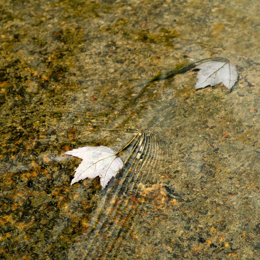
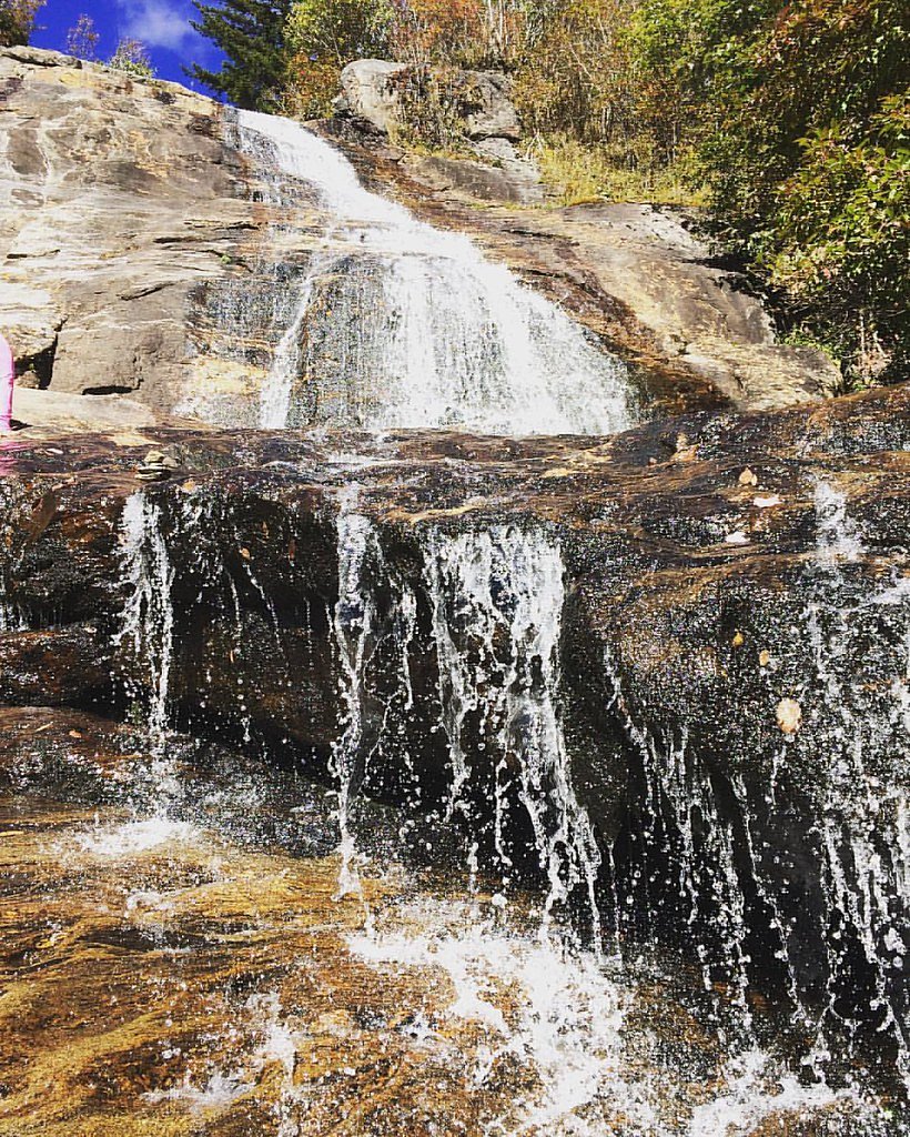
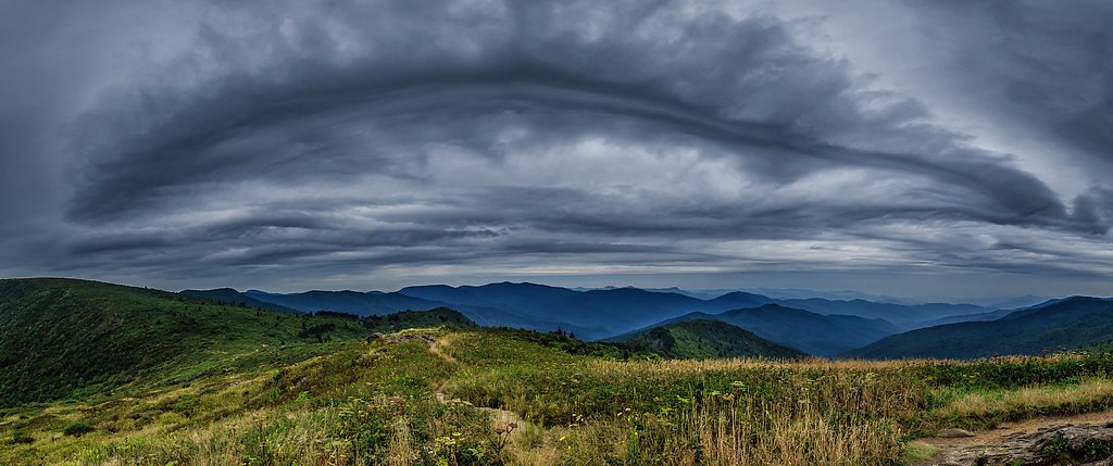
Bird Rock Falls
By Armen Suny · Last verified May 2026
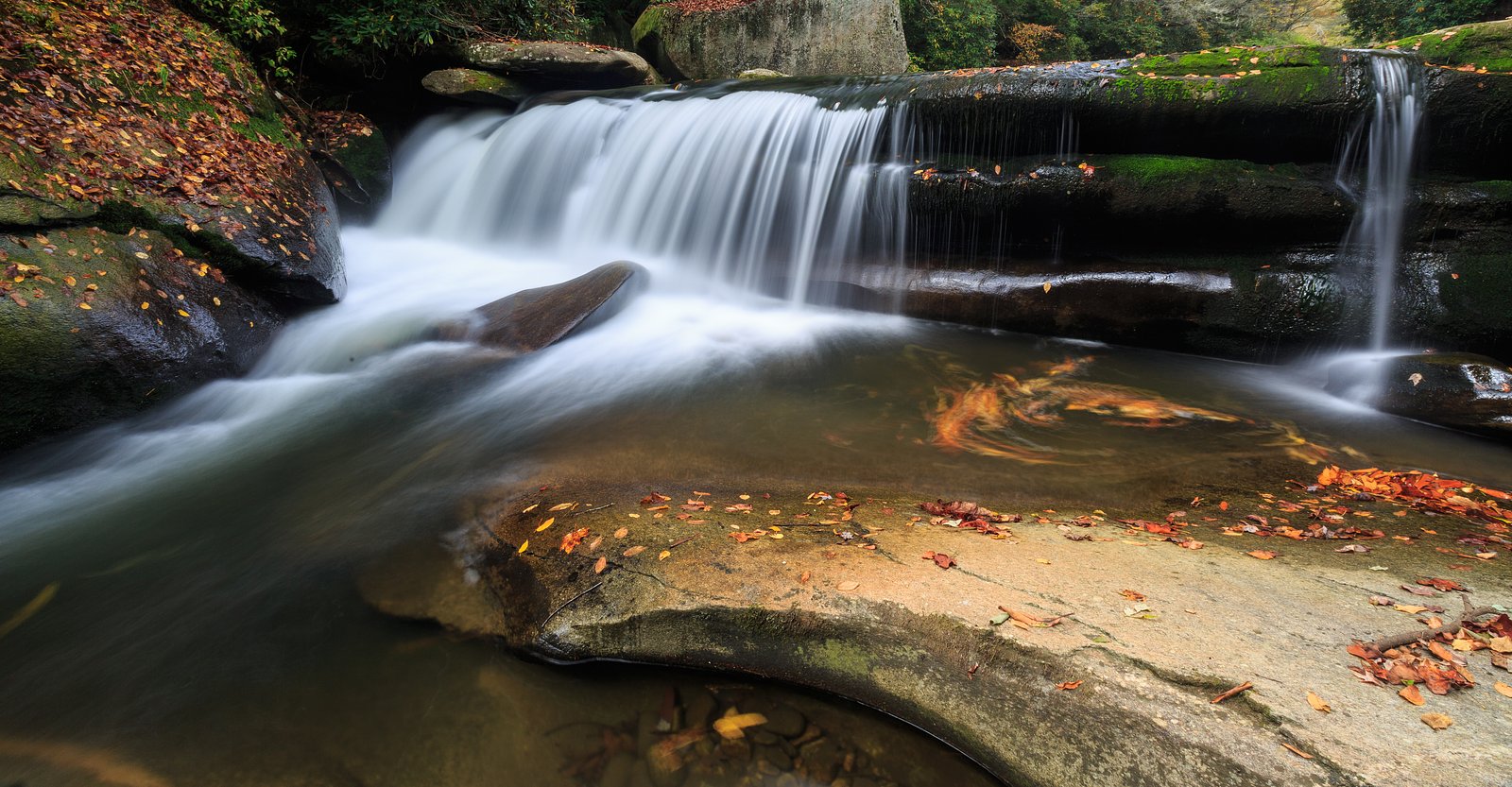
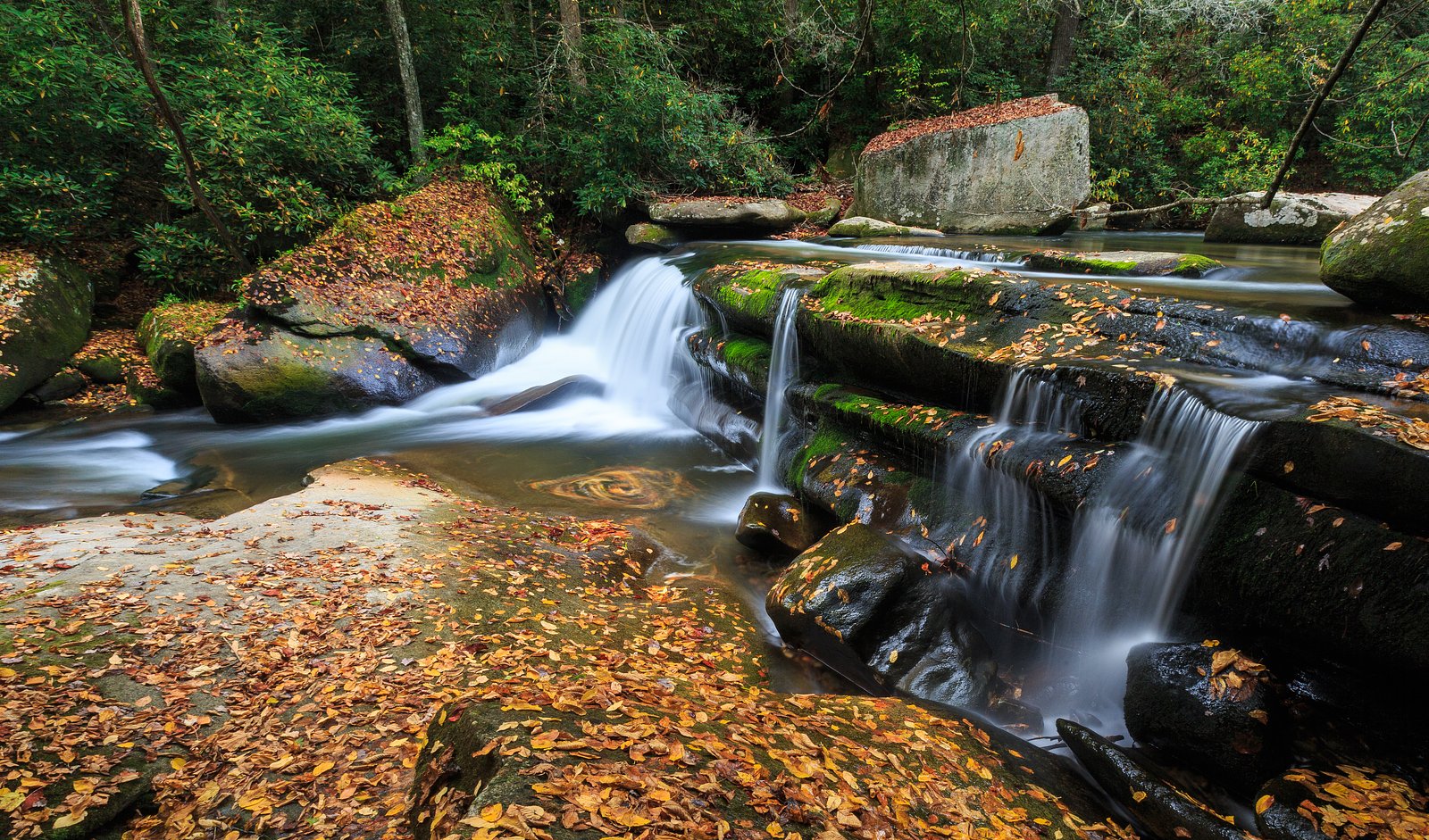
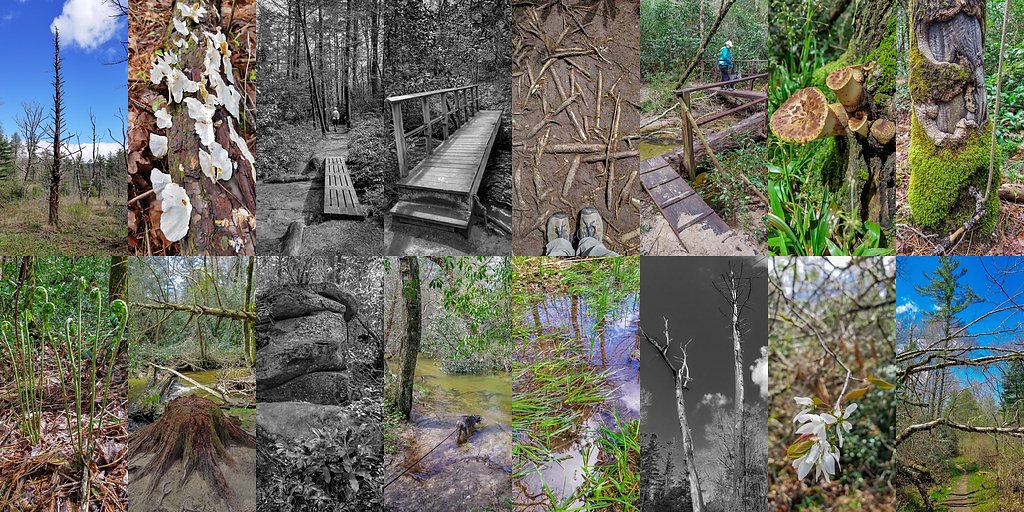
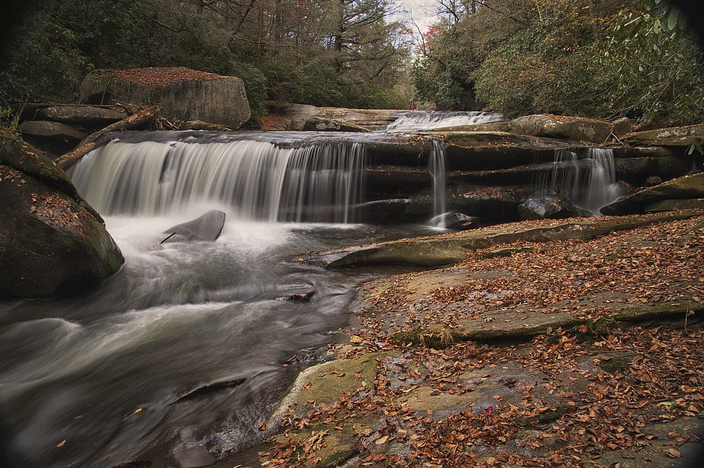

Photo Credits (5)
Difficulty
Moderate
Trail Length
2.4 miles
Trail Type
Out And Back
Elevation Gain
350 ft
About Bird Rock Falls
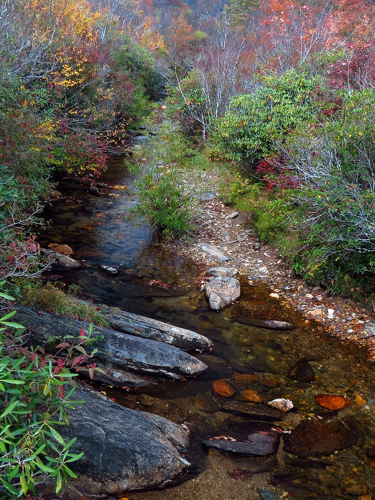
Bird Rock Falls (also called Cathedral Falls) tumbles along the Toxaway River just a short drive from Lake Toxaway, North Carolina, spilling over a rocky ledge into a verdant gorge framed by dense hardwoods. The cascade’s moderate drop and intimate setting make it especially photogenic in spring and during the fall color peak, and it’s a rewarding stop for hikers and photographers who want a scenic waterfall visit without committing to a full-day trek. The route to the falls is a relatively quick outing—a roughly 2.4-mile out-and-back with about 350 feet of elevation gain—so it feels more like a brisk walk than a technical climb. If you’re planning an overnight stay, Kuykendall Group Camp is the closest public camping option at about 7.51 km away, making Bird Rock Falls an easy day trip from nearby campsites and a convenient destination for groups looking to combine car camping with a short waterfall hike.
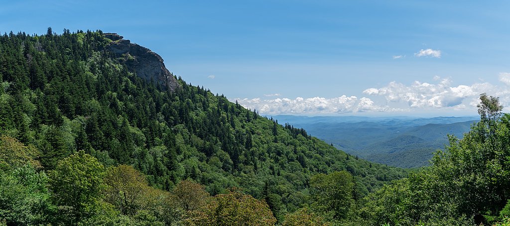
The Setting
Bird Rock Falls sits at 2,746 feet along the French Broad River, in the hills of North Carolina.
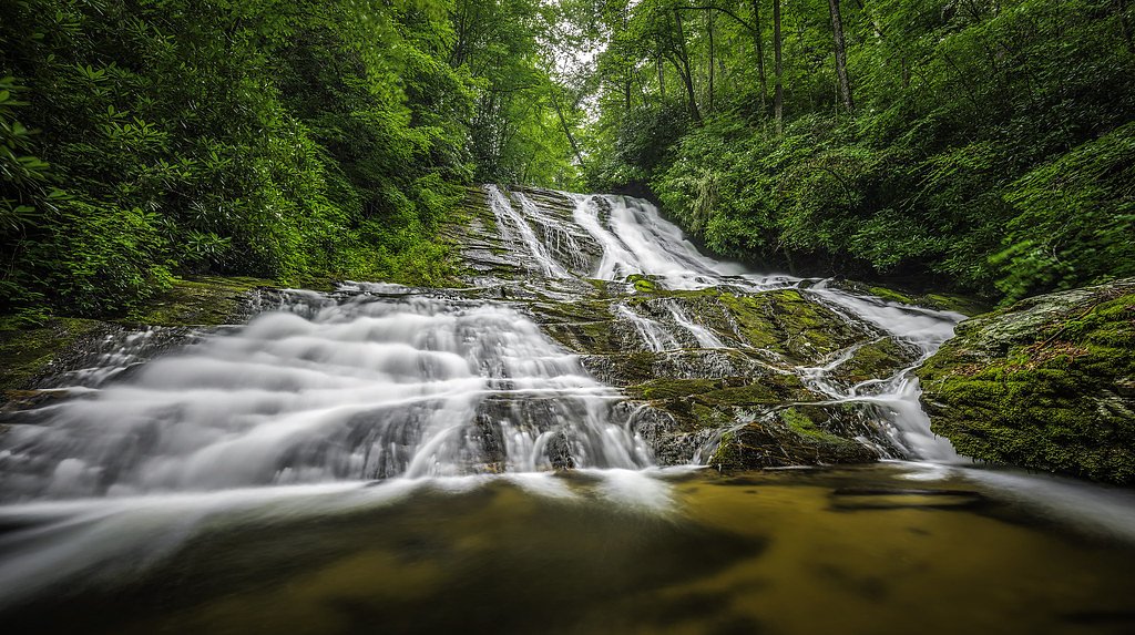
Nearby Falls Worth Visiting
Second Falls (50 ft) lies 7.0 miles to the north. Also nearby: Courthouse Falls (45 ft, 3.9 mi).
Trail & Hike Details
The Approach
The moderate 2.4-mile out-and-back trail gains 350 feet of elevation on the way to the falls.
Trail Description
Trail length: 2.4 miles round-trip (out-and-back). Elevation gain: approximately 350 feet. Difficulty: moderate. The trail follows a wooded alignment that rises and falls gently over the roughly 1.2-mile approach to the falls (and back), offering a steady but not steep grade suitable for most hikers in reasonable shape. Surface is natural forest tread; footing can become muddy or slippery after rain and exposed rock at the falls may be slick, so wear sturdy shoes and use caution on wet sections. This is a non-technical hiking route appropriate for day visitors.
What to Expect
Dogs are welcome.
Accessibility
The trail is not wheelchair accessible. Uneven terrain and elevation changes require steady footing.
Frequently Asked Questions
🐶 Are Dogs Allowed at Bird Rock Falls?
✅ Dogs are allowed
Are There Any Fees or Permits Required?
🆖 No fees required
🏊 Is There Swimming at Bird Rock Falls?
❌ Swimming is not allowed
When to Visit
Spring and fall are ideal for visiting due to pleasant weather and vibrant foliage. Summer is also popular, but the area may be busier.
Seasonal Access
The best time to visit is Spring, Summer, and Fall. Winter access may be limited.
Safety Information
The trail may be slippery after rain, and visitors should exercise caution near the waterfall as rocks can be slick. Always supervise children and pets near the water.
Current Water Conditions
97 ft³/s
Current discharge — how much water is flowing
Lower than usual for this time of year
Based on 92 years of record
2.10 ft
Water depth at gauge
7-Day Discharge Trend
What does this mean for your visit?
Flow is lower than usual for this time of year.
About This Gauge
This gauge is on a nearby waterway and may not reflect exact conditions at the falls.
7-Day Flow Outlook
Based on the USGS gauge FRENCH BROAD RIVER AT ROSMAN, NC (9 km away).
Today
Moderate
111 cfs
4/10Tomorrow
Moderate
118 cfs
4/10Wed
Moderate
113 cfs
4/10Thu
Moderate
107 cfs
4/10Fri
Moderate
111 cfs
4/10Sat
Moderate
109 cfs
4/10Sun
Moderate
109 cfs
4/10Best window: Today — moderate flow, slight chance rain showers then chance showers and thunderstorms (trip score 4/10).
Best time of year: this gauge typically runs highest from mid February to early May, peaking in March.
How we calculate this
This is a transparent outlook, not a precise forecast. We take the waterfall's current flow strength (how it ranks against its historical normal for today, from the nearest USGS stream gauge), carry that ranking forward along the gauge's seasonal curve, and nudge it for forecast rain. Confidence is highest for the next day or two and falls further out. Always check official conditions and your own judgment before visiting — high flows can be dangerous.
Know when to go.
Get a free email alert when waterfalls near Rosman hit peak flow. We only send when conditions are worth the trip — no weekly newsletters, no spam.
Weather Forecast
Location & Access
Getting There
Bird Rock Falls is located off NC Highway 281 near Lake Toxaway. Access is typically via a short trail from the nearby parking area.
Get Directions on Google MapsParking
Parking is available near the trailhead, but it may be limited. Visitors should plan to arrive early during peak seasons.
Elevation
2,746 feet above sea level
Coordinates
35.221496° N, -82.860964° W
Visitor Tips & Gear
Wear sturdy shoes as the trail may be muddy or slippery. Arrive early to secure parking, especially during weekends or peak seasons. Bring insect repellent during warmer months.
As an Amazon Associate, we earn from qualifying purchases.
With 2.4 miles and 350 ft of elevation gain, sturdy boots and trekking poles will help on this moderate trail. Sun exposure on the trail makes good sun protection a must in summer.

Polarized Sunglasses (Knockaround)
Cuts glare off the water so you actually see the falls — and your photos turn out better too.

Columbia Watertight II Rain Jacket
Packs into its own pocket, seam-sealed, and keeps you dry from spray and surprise rain.

Earth Pak Waterproof Dry Bag
Keeps your phone and gear dry when waterfall mist soaks everything else.

Waterproof Phone Pouch (AiRunTech)
Cheap insurance — take photos right next to the falls without killing your phone.

Timberland Euro Sprint Mid Waterproof
Trusted waterproof boot with premium leather and grippy rubber sole — reliable on rocky, wet trails.

TrailBuddy Trekking Poles
Lightweight aluminum, cork grips, and flip-locks that actually hold — a best-seller for good reason.
Where to Stay

Hampton Inn Brevard

Comfort Inn & Suites Brevard North

Holiday Inn Express - Brevard by IHG

Foxhunt at Sapphire Valley
Browse vacation cabins and private rentals nearby
Unique outdoor stays — tents, yurts, and treehouses
Rent a campervan or RV for your waterfall road trip
Some links are affiliate links. We may earn a commission at no extra cost to you.
Nearby Campground
KUYKENDALL GROUP CAMP
4.7 miles away · 1 sites
Overview Large groups enjoy this cozy mountain campground in the Pisgah National Forest of western North Carolina. Ample opportunities for recreation exist in the area, including hiking, picnicking, scenic driving, swimming, fishing, mountain biking and more.Recreation This is a great place for campers to simply relax in the woods and listen to the sound of the creek. Visitors can also explore the area's numerous hiking trails, check out crystal clear waterfalls or fish for trout in the creek and
Book on Recreation.govNearby Hot Springs
Hot springs near Rosman, North Carolina

Looking for a soak after your hike? Explore more hot springs near Rosman, North Carolina on SoakingSprings.
Explore North Carolina springsAdditional Information
Nearby Attractions
Lake Toxaway, Gorges State Park, and Rainbow Falls are nearby attractions worth visiting.
Wildlife
The area is home to various bird species, small mammals, and occasional deer. Visitors should be mindful of wildlife and avoid feeding animals.
Cities near Bird Rock Falls
Nearby Waterfalls
Writing about Bird Rock Falls? Embed this waterfall on your site for free.