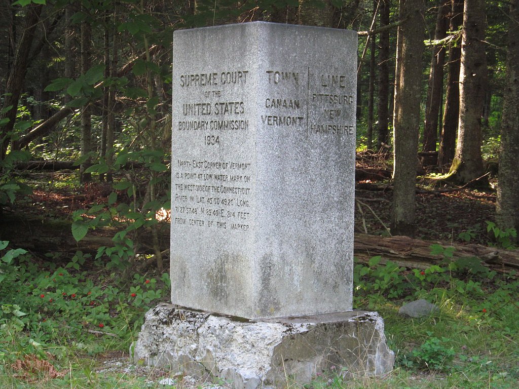


Photo Credits (5)
Difficulty
Drive Up
About Beecher Falls
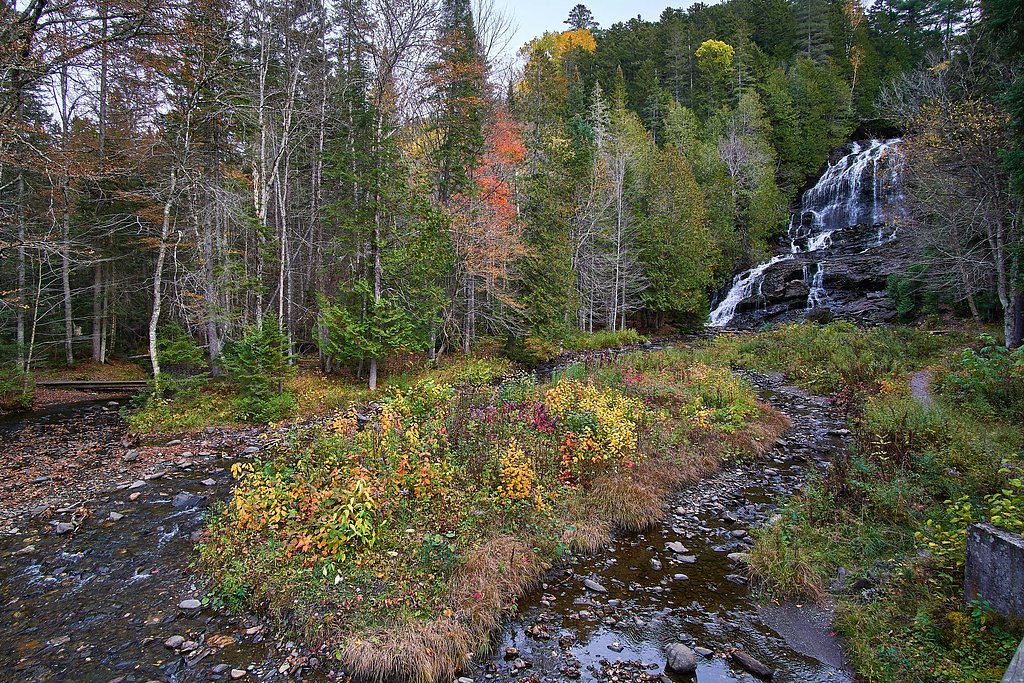
Beecher Falls is a set of rapids on the Connecticut River at the village of Beecher Falls in Canaan, in Vermont's northeast corner on the New Hampshire border and just south of Canada. It is a roadside view from VT 253 rather than a hiking destination, and waterfall guides rate its scenery as modest.
Nearby Falls Worth Visiting
Beaver Brook Falls (80 ft) lies 6.5 miles to the southeast.
Trail & Hike Details
The Approach
No hiking required. Beecher Falls is accessible by vehicle with a roadside viewing area.
Trail Description
There is no trail. The rapids are seen from VT 253 and the Beecher Falls bridge to Stewartstown, New Hampshire.
What to Expect
River rapids rather than a vertical waterfall, seen from the road in a small mill village.
Accessibility
This waterfall is viewable from a vehicle-accessible area. No hiking is required.
Frequently Asked Questions
🐶 Are Dogs Allowed at Beecher Falls?
❌ Dogs are not allowed
Are There Any Fees or Permits Required?
🆖 No fees required
🏊 Is There Swimming at Beecher Falls?
❌ Swimming is not allowed
When to Visit
Spring and early summer may offer the best views of the waterfall due to higher water flow from snowmelt and rain.
Seasonal Access
The best time to visit is Spring, Summer, Fall, and Winter.
Safety Information
Visitors should be cautious of slippery rocks near the waterfall, especially during wet or icy conditions. The area may lack guardrails or other safety features.
Know when to go.
Get a free email alert when waterfalls near Beecher Falls hit peak flow. We only send when conditions are worth the trip — no weekly newsletters, no spam.
Is Beecher Falls Frozen?
Updated about 8 hours agoNot frozen highs above freezing lately
Beecher Falls is not frozen right now; highs have been above freezing. Yesterday ran 43°F to 37°F.
- Days below freezing
- 0 of the last 14
- Current cold streak
- 0 days
- Freezing days ahead
- 0 of the next 7
- Flow
- no gauge
Winter safety. Frozen falls are the one waterfall trip with a documented injury pattern: falling ice, and ice-glazed rock and trail. Wear microspikes, keep well back from the base and from overhangs, and never walk out on ice over moving water.
Estimate from Open-Meteo daily temperatures at the falls, the LiDAR-measured facing direction, and the nearest stream gauge. It is a likelihood, not a report from the trail. See every frozen waterfall in Vermont.
Weather Forecast
The Terrain, Seen by LiDAR
Aircraft-mounted lasers measured this ground to within inches. Trees and buildings are digitally stripped away, leaving the bare shape of the land the water has carved.
Here the descent is spread out: 1-meter lidar measures about 71 feet of drop through Beecher Falls, stretched along the creek rather than stacked in one wall. The brink sits at about 1,062 feet above sea level.
Steep ground runs through the entire stretch: about 106 feet of descent in the 500 feet above the pin and 100 feet in the 500 feet below it. Facing northwest, the falls glow in afternoon and evening light.
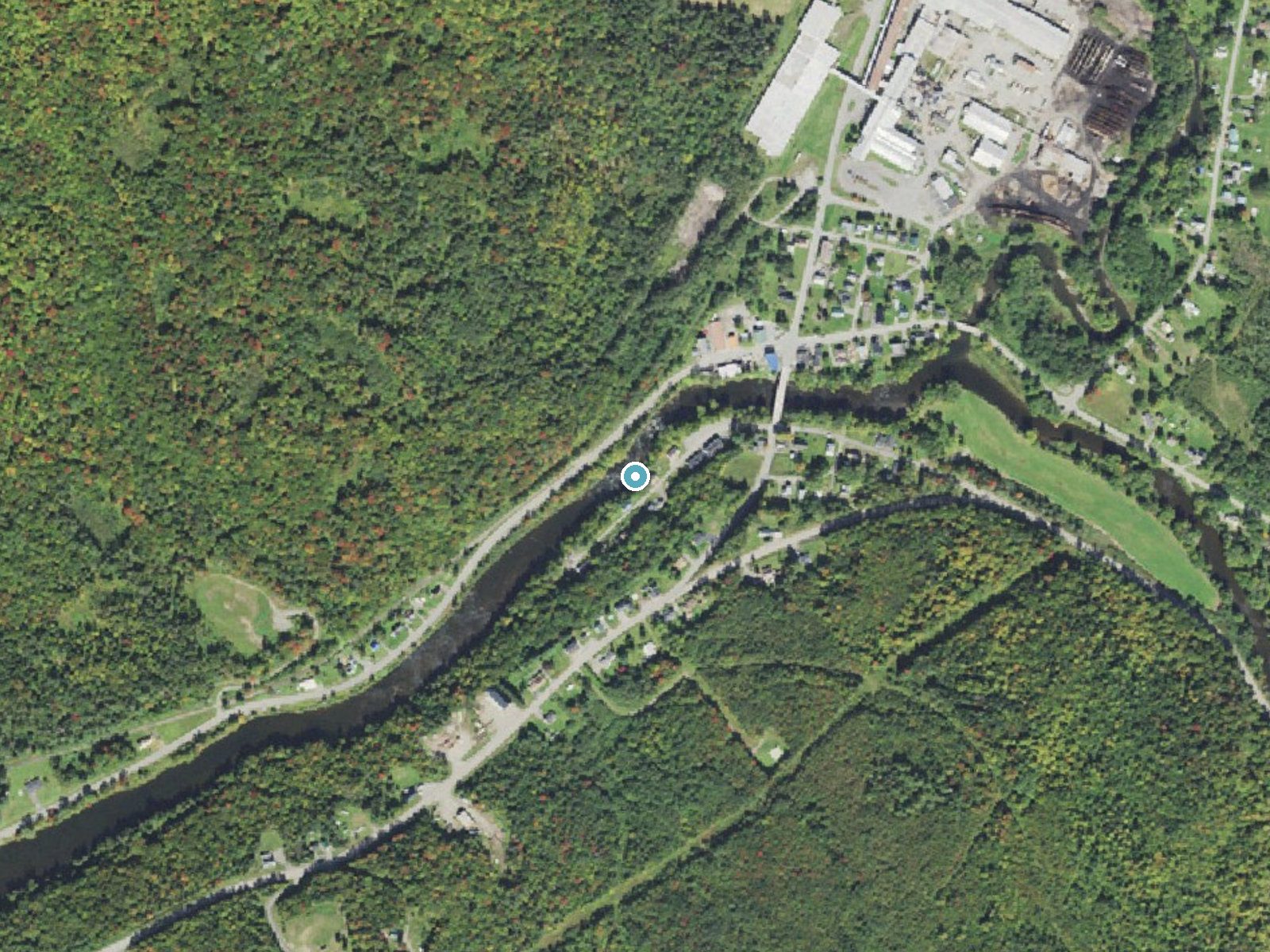
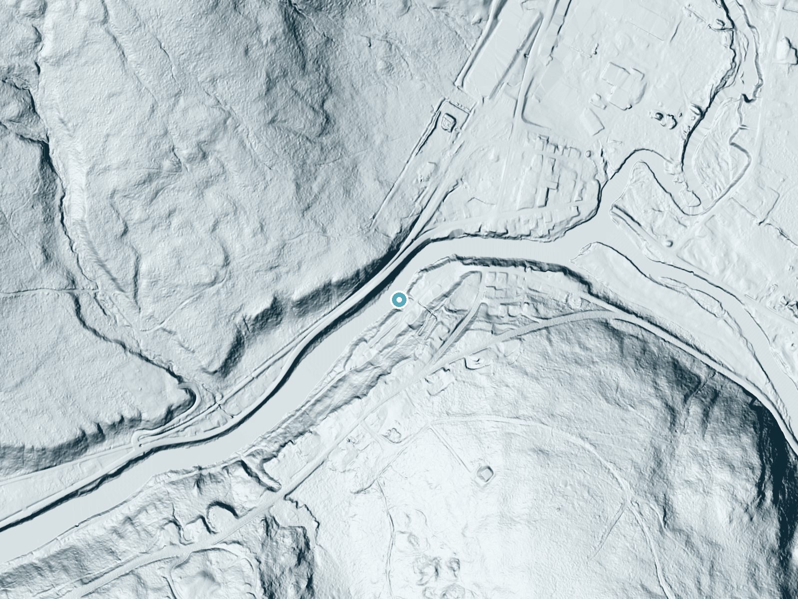
Drag to compare. The dot marks the waterfall. The frame is about a mile across.
- Ground elevation
- 1,062 feet
- Measured by 1-meter lidar
- Drop at the falls
- About 71 feet
- Change in ground height within ~250 feet of the falls
- Faces
- Northwest
- Glows in afternoon and evening light.
A slice through the lidar ground surface, from above the falls to downstream (heading northwest).
Elevation data: USGS 3D Elevation Program. Aerial imagery: USGS The National Map. Public domain.
Location & Access
Getting There
Drive VT 253 to the village of Beecher Falls in Canaan; the rapids are visible from the road and from the bridge across the Connecticut River to Stewartstown, New Hampshire.
Get Directions on Google MapsParking
There is no designated parking for the rapids. Use legal roadside or village parking and do not stop on the bridge.
Elevation
1,066 feet above sea level
Coordinates
45.006991° N, -71.509806° W
Visitor Tips & Gear
Combine the stop with a drive along the upper Connecticut River.
Where to Stay
La Maison Bleue du Lac Wallace
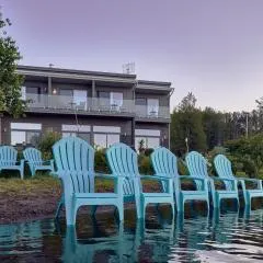
Étoile du Lac Lyster - Spa & Vue sur le Lac

Chalet Lindsay
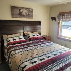
Ladd Pond Cabins and Campground, LLC
Browse vacation cabins and private rentals nearby
Unique outdoor stays — tents, yurts, and treehouses
Rent a campervan or RV for your waterfall road trip
Some links are affiliate links. We may earn a commission at no extra cost to you.
Additional Information
Nearby Attractions
The nearby town of Canaan offers small-town charm, and the Connecticut River provides opportunities for scenic views and outdoor activities. The Canadian border is also close by for those interested in exploring international destinations.
Wildlife
The area around Beecher Falls may feature local wildlife such as birds, deer, and small mammals. Visitors should be mindful of their surroundings.
Cities near Beecher Falls
Nearby Waterfalls
Writing about Beecher Falls? Embed this waterfall on your site for free.