
Photo Credits (4)
Difficulty
Moderate
Trail Length
2.0 miles
Trail Type
Out And Back
Elevation Gain
200 ft
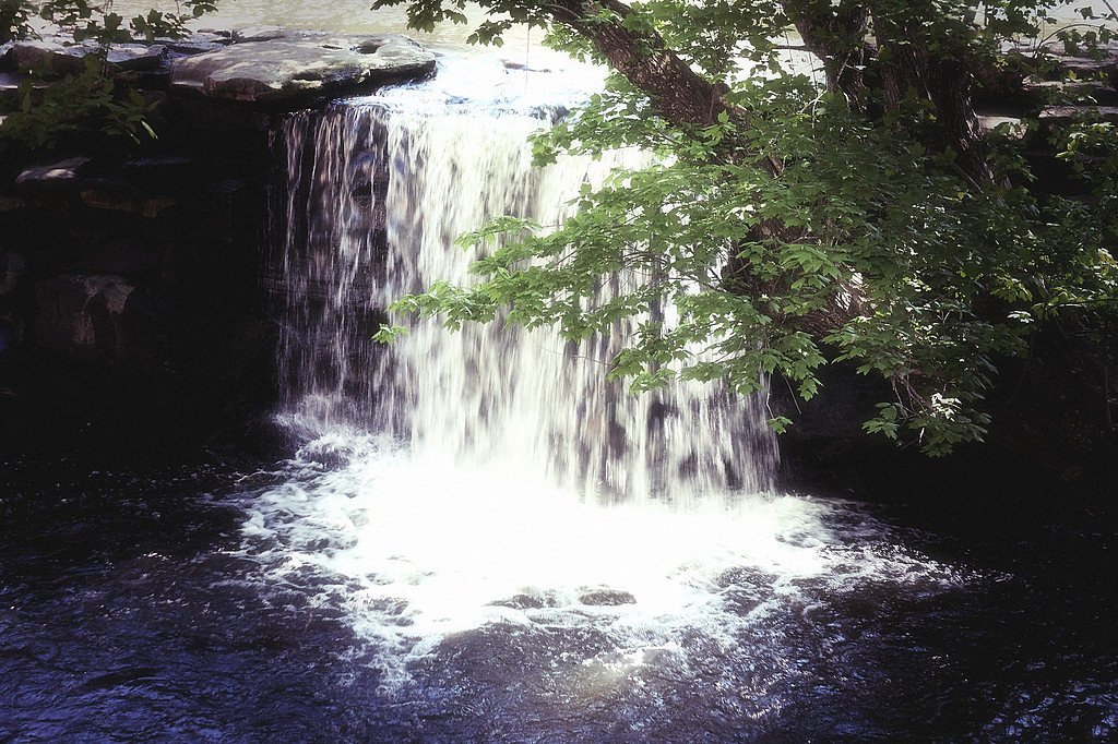
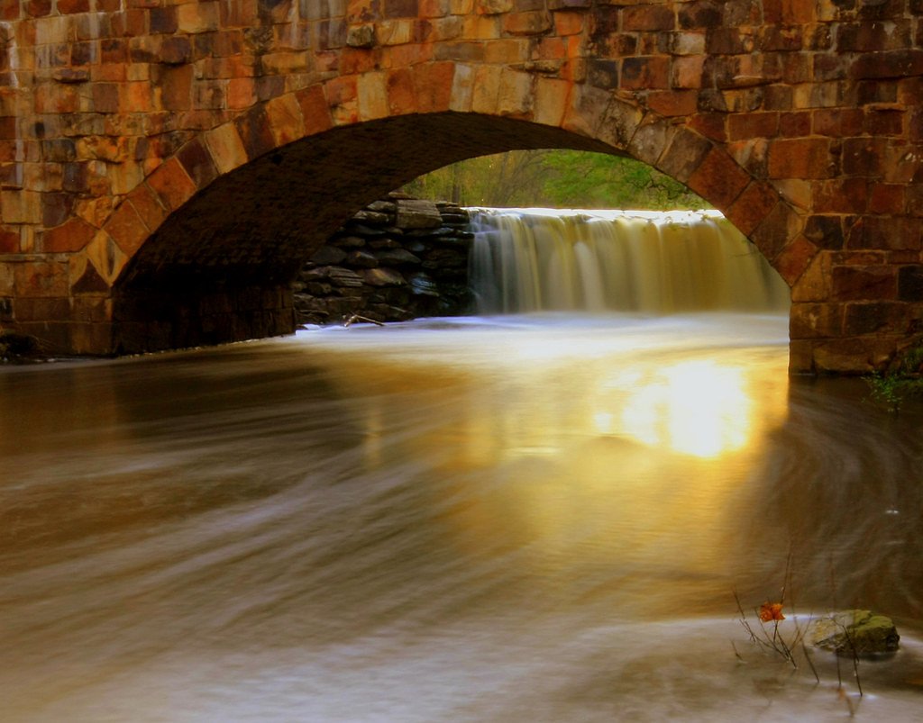
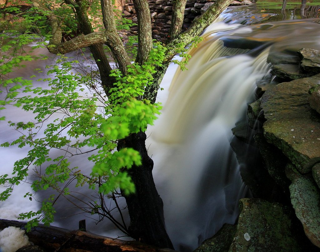
About Bailey Falls
Tucked into a quiet stretch of Arkansas woodland, Bailey Falls is a low-key cascade that feels like a private retreat — especially after a good rain when the stream fills and photographers can catch dramatic flow framed by verdant forest. The approach threads through mossy rocks and shaded streamside vegetation, offering an intimate, peaceful setting rather than a crowded viewpoint. It’s an easy spot to linger with a camera or a picnic and enjoy the hush of the woods. Access is a straightforward 2.0-mile out-and-back hike with roughly 200 feet of elevation gain and a moderate rating, making it an achievable half-day outing for most active visitors. There aren’t developed campgrounds at the falls; the nearest developed option is Dam Site Campground, about 25.57 km away, so plan overnight stays accordingly if you’re looking to camp nearby.
Trail & Hike Details
The Approach
The moderate 2.0-mile out-and-back trail gains 200 feet of elevation on the way to the falls.
Trail Description
Trail type: out-and-back. Length: 2.0 miles round trip. Elevation gain: approximately 200 feet. Difficulty: moderate. The route follows a mostly natural dirt surface with rocky, uneven sections and several short, moderate grades rather than long sustained climbs. Expect muddy, slick spots after rain and some short uneven stretches rather than a fully maintained boardwalk or paved path — sturdy, grippy footwear is recommended.
What to Expect
Dogs are welcome.
Accessibility
The trail is not wheelchair accessible. Uneven terrain and elevation changes require steady footing.
Frequently Asked Questions
🐶 Are Dogs Allowed at Bailey Falls?
✅ Dogs are allowed
Are There Any Fees or Permits Required?
🆖 No fees required
🏊 Is There Swimming at Bailey Falls?
❌ Swimming is not allowed
When to Visit
Spring and early summer are the best times to visit, as the waterfall is typically more active due to seasonal rainfall.
Seasonal Access
The best time to visit is Spring, Summer, and Fall. Winter access may be limited.
Safety Information
The trail may become slippery after rain, and there are rocky sections near the waterfall. Visitors should exercise caution and avoid getting too close to the edge of the falls. Cell service may be limited, so inform someone of your plans before heading out.
Know when to go.
Get a free email alert when waterfalls near Concord hit peak flow. We only send when conditions are worth the trip — no weekly newsletters, no spam.
Weather Forecast
Location & Access
Getting There
Bailey Falls is located in the Ozark National Forest in Arkansas. Access typically involves driving to a nearby trailhead, followed by a hike through forested terrain. Exact directions may vary depending on the starting point.
Get Directions on Google MapsParking
Parking is available near the trailhead, but spaces may be limited. Visitors are advised to arrive early, especially during peak seasons.
Elevation
0 feet above sea level
Coordinates
35.667390° N, -91.770537° W
Visitor Tips & Gear
Bring plenty of water, wear sturdy hiking shoes, and check weather conditions before your visit. The trail may be slippery after rain. Cell service may be limited in the area, so plan accordingly.
As an Amazon Associate, we earn from qualifying purchases.
With 2.0 miles and 200 ft of elevation gain, sturdy boots and trekking poles will help on this moderate trail. Sun exposure on the trail makes good sun protection a must in summer.

Polarized Sunglasses (Knockaround)
Cuts glare off the water so you actually see the falls — and your photos turn out better too.

Columbia Watertight II Rain Jacket
Packs into its own pocket, seam-sealed, and keeps you dry from spray and surprise rain.

Earth Pak Waterproof Dry Bag
Keeps your phone and gear dry when waterfall mist soaks everything else.

Waterproof Phone Pouch (AiRunTech)
Cheap insurance — take photos right next to the falls without killing your phone.

Timberland Euro Sprint Mid Waterproof
Trusted waterproof boot with premium leather and grippy rubber sole — reliable on rocky, wet trails.

TrailBuddy Trekking Poles
Lightweight aluminum, cork grips, and flip-locks that actually hold — a best-seller for good reason.
Where to Stay

Cozy Heber Springs Cabin w/ Deck & Dock!

The Royal on Main

Hampton Inn Batesville, Ar

Days-Inn by Wyndham Batesville AR
Browse vacation cabins and private rentals nearby
Unique outdoor stays — tents, yurts, and treehouses
Rent a campervan or RV for your waterfall road trip
Some links are affiliate links. We may earn a commission at no extra cost to you.
Nearby Campground
Dam Site Campground
15.9 miles away · 0 sites
This recreation area is part of Greers Ferry Lake
Book on Recreation.govAdditional Information
Nearby Attractions
Other attractions in the Ozark National Forest include Whitaker Point (Hawksbill Crag) and the Glory Hole Waterfall.
Wildlife
The area is home to a variety of wildlife, including deer, birds, and small mammals. Be cautious of snakes, especially during warmer months.
Cities near Bailey Falls
Other waterfalls named Bailey Falls
1 other waterfall shares this name across the U.S.
Writing about Bailey Falls? Embed this waterfall on your site for free.