Waterfall Hikes Near Shelter Cove, CA
within 50 miles
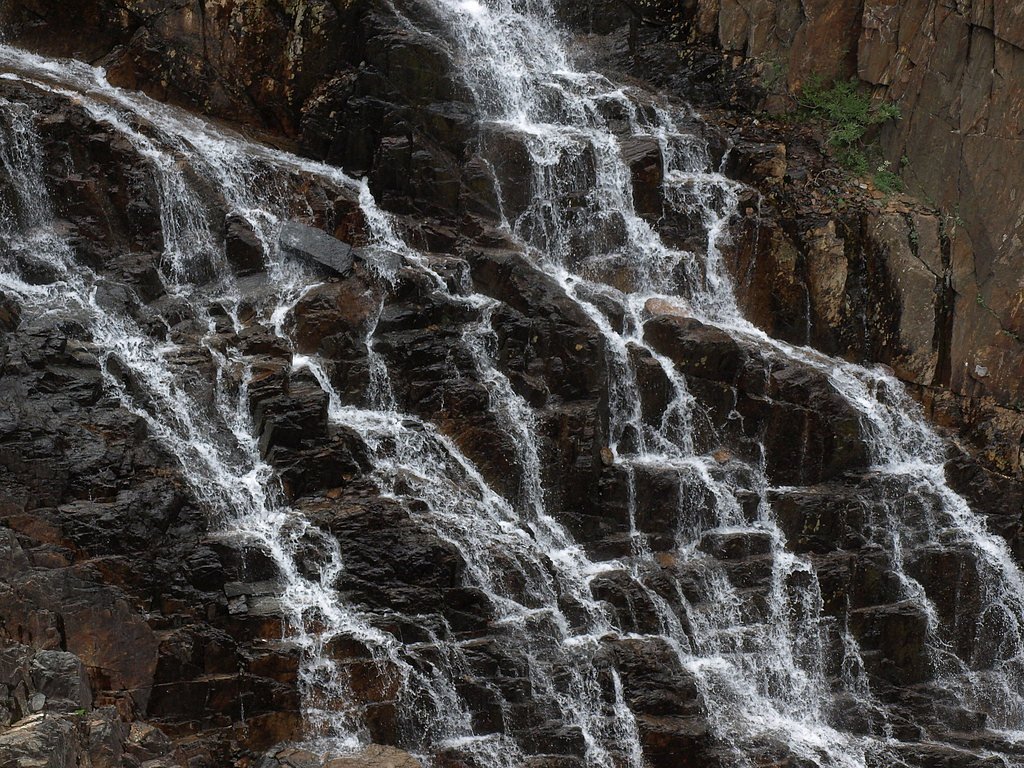
Looking for the best waterfalls to hike near Shelter Cove? There are 2 waterfall hiking trails within a 50-mile radius of Shelter Cove. These trails range from moderate to moderate difficulty, providing options for both casual hikers and experienced adventurers looking to explore the region's natural beauty.
Map of Waterfalls Near Shelter Cove
Today's Conditions
Live data from USGS gauges & National Weather Service
Water Flow
2 waterfalls near Shelter Cove have live flow data today
Updated about 1 hour ago via USGS
Best Day to Hike
Monday
Sunny · 70°F
Flowing best right now near Shelter Cove
Updated about 1 hour agoRanked by live stream-gauge flow versus each waterfall's seasonal normal.
Know when to go.
Get a free email alert when waterfalls near Shelter Cove hit peak flow. We only send when conditions are worth the trip — no weekly newsletters, no spam.
Find waterfalls to hike near Shelter Cove
Have your own travel site? Embed these waterfalls for free.
All 2 Waterfalls Near Shelter Cove

Frequently Asked Questions About Waterfalls Near Shelter Cove
What is the shortest waterfall hike near Shelter Cove?
The shortest waterfall hike near Shelter Cove is Mill Creek Falls at 2.4 miles round trip.
Can I camp near the waterfalls around Shelter Cove?
Yes, 2 waterfalls near Shelter Cove have nearby campgrounds.
What is the closest waterfall to Shelter Cove?
The closest waterfall to Shelter Cove is Mill Creek Falls, approximately 20.8 miles away.
🏙️ Other Cities Near Shelter Cove With Waterfalls
Nearby Hot Springs
Hot springs near Shelter Cove, California
Jackson Valley Mud Springs
Jackson Valley Mud Springs produces 80-degree water from the Mendocino County coast range near Laytonville. The spring's muddy ...
Pinches Spring
Pinches Spring flows at 70 degrees Fahrenheit in Mendocino County's heavily forested mountains, creating moderately warm waters...
Muir Springs
Muir Springs flows at a modest 68°F (20°C) in Mendocino County's coastal mountains, sitting 11 degrees above the ambient temper...
Looking for a soak after your hike? Explore more hot springs near Shelter Cove, California on SoakingSprings.
Explore California springsWhere to Stay
Browse vacation cabins and private rentals nearby
Unique outdoor stays — tents, yurts, and treehouses
Rent a campervan or RV for your waterfall road trip
Some links are affiliate links. We may earn a commission at no extra cost to you.