Waterfall Hikes Near Dyer, NV
within 50 miles
Looking for the best waterfalls to hike near Dyer? There are 4 waterfall hiking trails within a 50-mile radius of Dyer. These trails range from easy to moderate difficulty, providing options for both casual hikers and experienced adventurers looking to explore the region's natural beauty.
Map of Waterfalls Near Dyer
Today's Conditions
Live data from USGS gauges & National Weather Service
Water Flow
2 waterfalls near Dyer have live flow data today
Updated about 2 hours ago via USGS
Best Day to Hike
Friday
Sunny · 87°F
Flowing best right now near Dyer
Updated about 2 hours agoRanked by live stream-gauge flow versus each waterfall's seasonal normal.
Know when to go.
Get a free email alert when waterfalls near Dyer hit peak flow. We only send when conditions are worth the trip — no weekly newsletters, no spam.
Find waterfalls to hike near Dyer
Have your own travel site? Embed these waterfalls for free.
🚗 Easy Waterfall Hikes Near Dyer (1 waterfall)
Easy access waterfalls are drive-up or short-walk friendly. Perfect for families, casual visitors, or anyone who loves waterfalls but is "so-so" about hiking.
🐕 Dog-Friendly Waterfall Hikes Around Dyer (2 waterfalls)
Bring your four-legged friend along! These waterfalls welcome dogs on their trails.
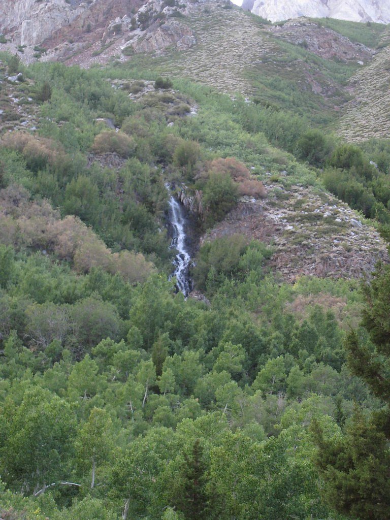
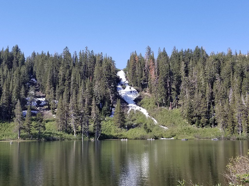
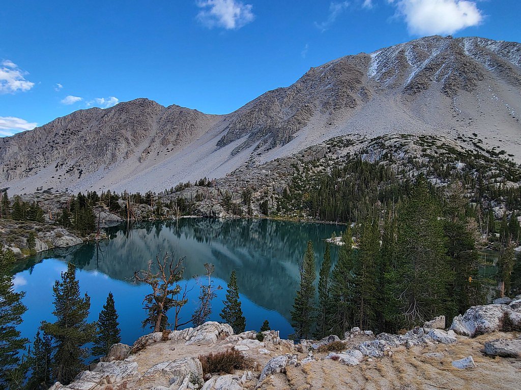
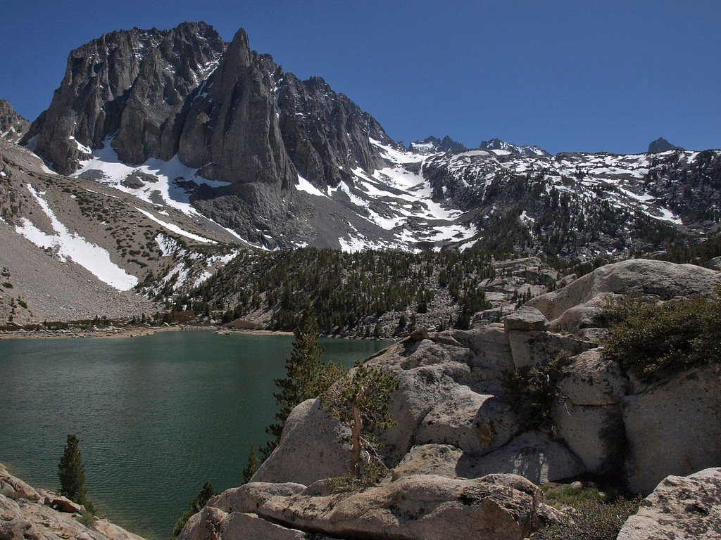
All 4 Waterfalls Near Dyer
Frequently Asked Questions About Waterfalls Near Dyer
Are there free waterfalls near Dyer?
There is 1 free waterfall near Dyer, including Horsetail Falls.
Are there easy waterfall hikes near Dyer?
There is 1 easy waterfall hike near Dyer, including Twin Falls.
Are there dog friendly waterfalls in Dyer?
There are 2 dog-friendly waterfalls near Dyer, including Horsetail Falls.
Are there kid-friendly waterfalls near Dyer?
There are 2 kid-friendly waterfalls near Dyer, including Horsetail Falls.
What is the shortest waterfall hike near Dyer?
The shortest waterfall hike near Dyer is First Falls at 1.5 miles round trip.
Can I camp near the waterfalls around Dyer?
Yes, 4 waterfalls near Dyer have nearby campgrounds.
What is the closest waterfall to Dyer?
The closest waterfall to Dyer is Horsetail Falls, approximately 38.9 miles away.
🏙️ Other Cities Near Dyer With Waterfalls
Nearby Hot Springs
Hot springs near Dyer, Nevada
Fish Lake Valley Hot Well
Fish Lake Valley Hot Well emerges at the California-Nevada border in remote Inyo County at 4,750 feet elevation, managed by the...
Fish Spring
Fish Spring flows at 75°F on remote BLM land straddling the Nevada-California border in Inyo County at 4,880 feet elevation. Wa...

Gap Spring
Gap Spring flows at 73 degrees Fahrenheit on BLM Tonopah Field Office land at 4,656 feet elevation, emerging 25.1 meters from E...
Sand Spring
Sand Spring flows at 74°F in Inyo County, California, positioned 64.3 meters from the nearest road at 5,500 feet elevation. The...
Unnamed Spring Inyo County 2
Flowing at 81°F just 14.7 meters from the nearest road at 4,600 feet elevation in Inyo County, this unnamed spring emerges 23.4...

Silverpeak Hot Spring
Silverpeak Hot Spring emerges at 118°F on BLM public lands in Esmeralda County, just 82 meters from the nearest road. Water run...
Looking for a soak after your hike? Explore more hot springs near Dyer, Nevada on SoakingSprings.
Explore Nevada springsWhere to Stay
Browse vacation cabins and private rentals nearby
Unique outdoor stays — tents, yurts, and treehouses
Rent a campervan or RV for your waterfall road trip
Some links are affiliate links. We may earn a commission at no extra cost to you.