Waterfall Hikes Near Durham, NC
within 50 miles
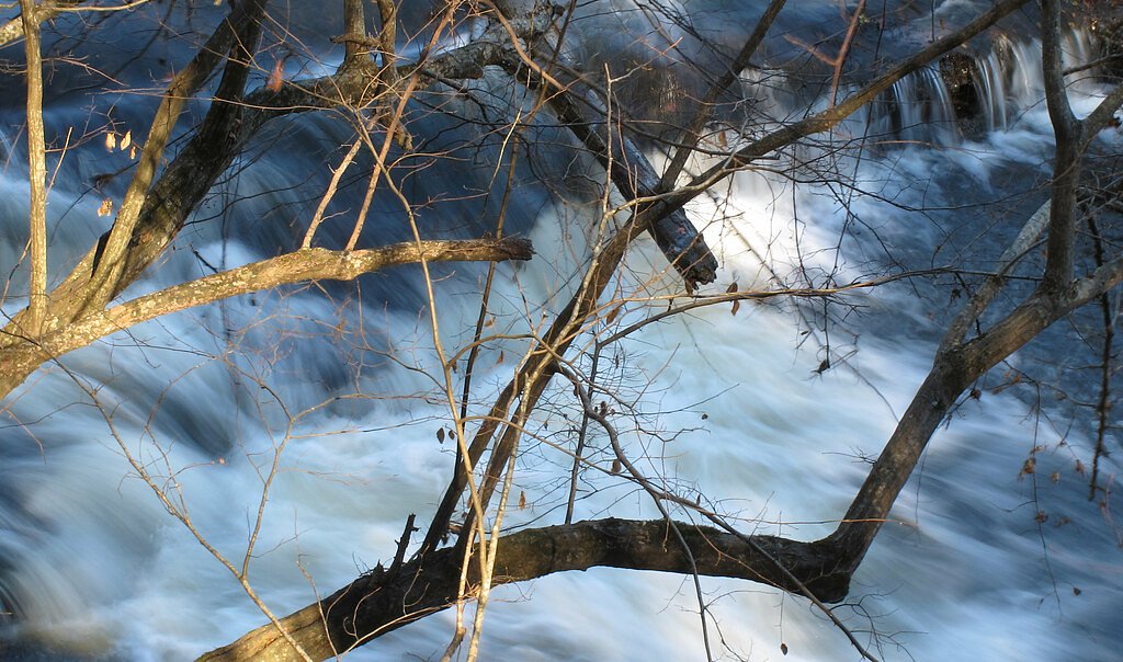
Durham sits on the rolling Piedmont plateau where dissected stream valleys and rocky creekbeds cut into wooded hills, providing a mix of short gorges, meandering river corridors and occasional coastal plain transition zones. Waterfall hikes within 50 miles are all moderate in difficulty, featuring creekside trails through second-growth hardwoods, brief rocky scrambles across exposed bedrock and compact ridge-and-valley terrain that rewards hikers with accessible cascades and close urban-to-wild transitions.
Map of Waterfalls Near Durham
Today's Conditions
Live data from USGS gauges & National Weather Service
Water Flow
3 waterfalls near Durham have live flow data today
Updated about 2 hours ago via USGS
Best Day to Hike
Friday
Sunny · 88°F
Flowing best right now near Durham
Updated about 2 hours agoRanked by live stream-gauge flow versus each waterfall's seasonal normal.
Know when to go.
Get a free email alert when waterfalls near Durham hit peak flow. We only send when conditions are worth the trip — no weekly newsletters, no spam.
Find waterfalls to hike near Durham
Have your own travel site? Embed these waterfalls for free.
🐕 Dog-Friendly Waterfall Hikes Around Durham (1 waterfall)
Bring your four-legged friend along! These waterfalls welcome dogs on their trails.
All 3 Waterfalls Near Durham
Frequently Asked Questions About Waterfalls Near Durham
Are there free waterfalls near Durham?
There is 1 free waterfall near Durham, including Lanier Falls.
Are there dog friendly waterfalls in Durham?
There is 1 dog-friendly waterfall near Durham, including Lanier Falls.
Are there kid-friendly waterfalls near Durham?
There is 1 kid-friendly waterfall near Durham, including Lanier Falls.
What is the shortest waterfall hike near Durham?
The shortest waterfall hike near Durham is Eagle Point Falls (historical) at 2.4 miles round trip.
Can I camp near the waterfalls around Durham?
Yes, 3 waterfalls near Durham have nearby campgrounds.
What is the closest waterfall to Durham?
The closest waterfall to Durham is Lanier Falls, approximately 25.6 miles away.

Pin This Guide
Save this Durham waterfall guide to your Pinterest board for your next adventure.
Pin It🏙️ Other Cities Near Durham With Waterfalls
Where to Stay
Browse vacation cabins and private rentals nearby
Unique outdoor stays — tents, yurts, and treehouses
Rent a campervan or RV for your waterfall road trip
Some links are affiliate links. We may earn a commission at no extra cost to you.