Waterfall Hikes Near Cedar Creek, AZ
within 50 miles
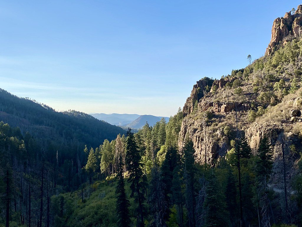
Looking for the best waterfalls to hike near Cedar Creek? There are 1 waterfall hiking trail within a 50-mile radius of Cedar Creek. These trails range from moderate to moderate difficulty, providing options for both casual hikers and experienced adventurers looking to explore the region's natural beauty.
Map of Waterfalls Near Cedar Creek
Today's Conditions
Live data from USGS gauges & National Weather Service
Water Flow
1 waterfall near Cedar Creek has live flow data today
Updated about 2 hours ago via USGS
Best Day to Hike
Sunday
Mostly Sunny · 95°F
Flowing best right now near Cedar Creek
Updated about 2 hours agoRanked by live stream-gauge flow versus each waterfall's seasonal normal.
Know when to go.
Get a free email alert when waterfalls near Cedar Creek hit peak flow. We only send when conditions are worth the trip — no weekly newsletters, no spam.
Find waterfalls to hike near Cedar Creek
Have your own travel site? Embed these waterfalls for free.
🐕 Dog-Friendly Waterfall Hikes Around Cedar Creek (1 waterfall)
Bring your four-legged friend along! These waterfalls welcome dogs on their trails.
All 1 Waterfall Near Cedar Creek
Frequently Asked Questions About Waterfalls Near Cedar Creek
Are there free waterfalls near Cedar Creek?
There is 1 free waterfall near Cedar Creek, including Workman Creek Falls.
Are there dog friendly waterfalls in Cedar Creek?
There is 1 dog-friendly waterfall near Cedar Creek, including Workman Creek Falls.
Are there kid-friendly waterfalls near Cedar Creek?
There is 1 kid-friendly waterfall near Cedar Creek, including Workman Creek Falls.
What is the shortest waterfall hike near Cedar Creek?
The shortest waterfall hike near Cedar Creek is Workman Creek Falls at 2.4 miles round trip.
How tall are the waterfalls near Cedar Creek?
The tallest waterfall near Cedar Creek is Workman Creek Falls at 200 feet.
Can I camp near the waterfalls around Cedar Creek?
Yes, 1 waterfall near Cedar Creek has nearby campgrounds.
What is the closest waterfall to Cedar Creek?
The closest waterfall to Cedar Creek is Workman Creek Falls, approximately 35.3 miles away.
🏙️ Other Cities Near Cedar Creek With Waterfalls
Nearby Hot Springs
Hot springs near Cedar Creek, Arizona
Unnamed Spring Gila County 2
This unnamed 83-degree thermal spring emerges on the Fort Apache Reservation near Canyon Day in Gila County at 4,339 feet eleva...

Warm Spring
Warm Spring emerges on the San Carlos Apache Reservation at 4,129 feet elevation near Canyon Day, located just 93 meters from t...
Salt Banks
Salt Banks emerges at 78°F on the Fort Apache Reservation in Navajo County, flowing 13 degrees above the 65°F average annual te...
Warm Springs
Warm Springs flows at 86 degrees Fahrenheit on the San Carlos Apache Reservation in Gila County near San Carlos, emerging at 4,...
Cassadore Spring
Cassadore Spring flows at 73 degrees Fahrenheit on the San Carlos Apache Reservation, just meters from Indian Route 1100. The 1...
Spring
Spring flows at 75°F on the San Carlos Apache Reservation in Gila County near Globe, emerging 10 degrees above the 65°F average...
Looking for a soak after your hike? Explore more hot springs near Cedar Creek, Arizona on SoakingSprings.
Explore Arizona springsWhere to Stay
Browse vacation cabins and private rentals nearby
Unique outdoor stays — tents, yurts, and treehouses
Rent a campervan or RV for your waterfall road trip
Some links are affiliate links. We may earn a commission at no extra cost to you.